You’ll find Garrison’s story in Pottawatomie County, Kansas, where a bustling railroad town once thrived along the Big Blue River. Founded in 1879 and named after Missouri Pacific Railroad president C.K. Garrison, the community grew from 145 residents to 400 by 1885. The town served as an essential transportation hub until 1959, when the Tuttle Creek Dam project forced residents to relocate, leaving their homes and businesses to rest beneath the reservoir’s waters. The town’s submerged ruins hold countless untold tales.
Key Takeaways
- Garrison was established in 1879 along Kansas’s Big Blue River and grew into a thriving railroad town with 400 residents.
- The town served as a major transportation hub where multiple railroads intersected, enabling trade and commerce in the region.
- Residents were forced to relocate in 1959 when the Tuttle Creek Dam project submerged the town and surrounding farmland.
- The community featured essential amenities including general stores, a bank, a Methodist Episcopal Church, and a public schoolhouse.
- The town’s post office closure in 1959 marked its official end, making Garrison one of several communities lost to flood control projects.
Early Settlement and Town Origins
While many Kansas towns emerged alongside railroad development in the late 19th century, Garrison’s founding in 1879 along the Big Blue River marked the establishment of a promising settlement in Pottawatomie County’s Green Township.
Named after Missouri Pacific Railroad president C.K. Garrison, this planned village attracted settlers primarily from Indiana, Illinois, and Ohio, with additional immigrants arriving from England, Germany, and Ireland.
The settlement patterns reflected rapid growth, as the population jumped from 145 people in 1880 to approximately 400 residents by 1885.
The early demographics showcased a diverse mix of farmers, merchants, and skilled tradespeople who established themselves in the Blue River Valley community, forming one of twelve interconnected settlements that would shape the region’s development.
The town would ultimately meet its end in 1959 when the construction of Tuttle Creek Dam and Reservoir forced its abandonment.
A post office opened on March 10, 1880, serving as an important communication hub for the growing community.
The Railroad’s Influence on Growth
Although the Kansas Central Railway initially faced financial turbulence in 1879, its acquisition by railroad mogul Jay Gould and subsequent transfer to Union Pacific proved transformative for Garrison’s development.
You’ll find that railroad expansion through Garrison created a significant junction point where the Kansas Central’s east-west line met the Manhattan & Blue Valley Railway’s north-south route by 1884.
The town’s strategic location along the Big Blue River, combined with tracks running down Main Street’s center, positioned it as an essential transportation hub.
This economic transformation extended beyond Garrison, spurring growth in neighboring communities like Clay Center, Miltonvale, and Leonardville. The company operated with nine steam locomotives during its peak service period in early 1882.
The railway’s presence enabled efficient movement of goods, particularly coal from Carbondale deposits, while establishing important linkages to larger rail networks like the Atchison, Topeka & Santa Fe.
The line underwent a major infrastructure upgrade when it was converted to standard gauge in 1890, improving its connectivity with other rail networks.
Daily Life in Garrison’s Prime
During Garrison’s peak years in the late 1800s, daily life centered around a close-knit community where social institutions shaped residents’ routines.
You’d find the town’s wooden-frame homes clustered near crucial buildings, with gardens and small livestock yards providing sustenance for families. Like its neighbor Kingsdown near Bloom, the town developed around the railroad that brought goods and connected residents to other communities. The local school buzzed with school activities, serving multiple grades in one or two rooms while doubling as a venue for community gatherings after hours.
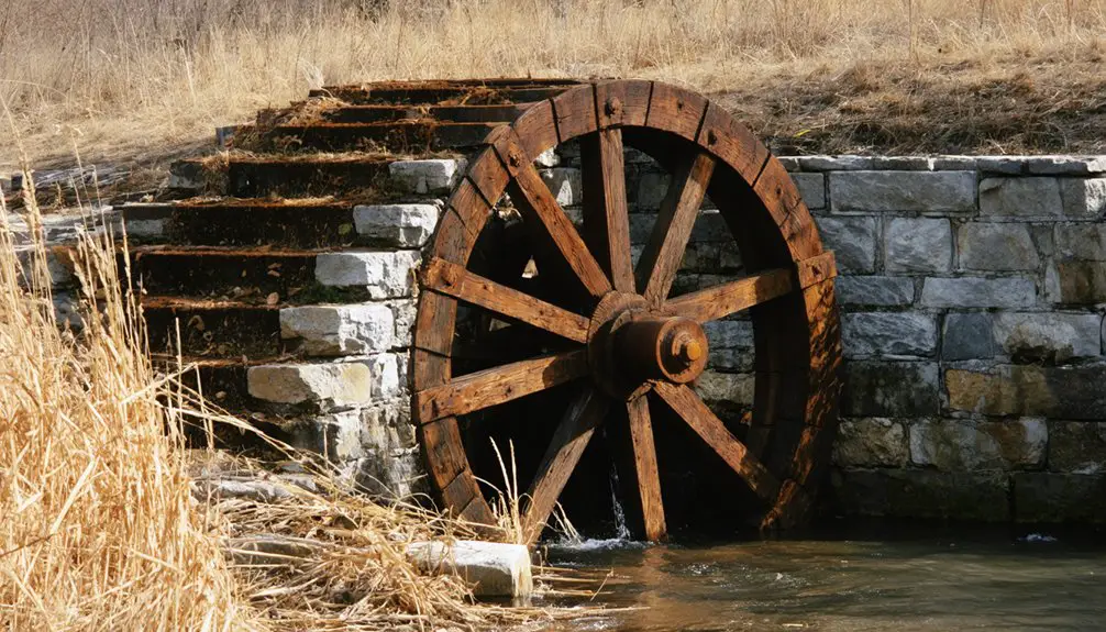
Much like the historic Oxford Mill, residents relied on local milling operations to process their grain harvests. You’d see children playing in unpaved streets or open fields, while adults tended to daily tasks like food preservation and gardening.
The church and post office served as significant social hubs, where you’d join neighbors for entertainment programs and essential communication.
Wood and coal stoves kept buildings warm, and gasoline lamps lit homes before modern utilities arrived.
Commerce and Economic Activities
As commerce took root in Garrison following its 1879 establishment along the Big Blue River, you’d find a bustling economic center anchored by the Missouri Pacific Railroad‘s presence.
The railroad’s arrival in 1879 transformed Garrison into a vibrant hub of trade along the Big Blue River.
By the mid-1880s, trade patterns revolved around three general stores, a bank, and essential services like a physician’s office and wagonmaker. Similar to Central City’s trading point, Garrison served as a vital commercial hub along major transportation routes.
You’d witness significant agricultural exports, primarily livestock and wheat, moving through the Kansas Pacific Railway station.
The Winkler Brothers’ river-powered mill processed local grain, while the town’s financial infrastructure included a money order post office and express offices by 1910.
The Union Pacific Railroad‘s acquisition in 1908 strengthened shipping connections, and you’d see stagecoaches running daily to Manhattan and Randolph, keeping Garrison’s commerce flowing with neighboring communities. These economic activities continued until Tuttle Creek Dam construction forced the town’s abandonment.
Transportation Hub and Infrastructure
While situated along the western edge of the Big Blue River, Garrison emerged as a significant transportation nexus in the 1880s through its connection to the Kansas Pacific Railroad.
You’d find a robust transportation evolution as the Leavenworth, Kansas, and Western Railroad later crossed through the town, creating essential east-west rail connections. By 1885, you could access money order, express, and telegraph services at the station.
The town’s strategic position along both rail and stagecoach routes made it important for regional mobility. Daily stagecoaches linked Garrison to Randolph and Manhattan, while the rail networks facilitated livestock and wheat shipments to broader markets. Water was a precious commodity, with residents paying up to $1.00 per barrel for train-delivered supplies. The creation of Tuttle Creek Dam in 1959 ultimately led to the town’s destruction and abandonment.
Union Pacific’s acquisition of the Leavenworth line in 1908 integrated Garrison into an even larger transportation network, though the town’s prominence would later decline before its ultimate flooding in 1959.
Community Services and Amenities
While Garrison itself no longer maintains active community services, you’ll find the town’s residents historically relied on essential amenities in nearby settlements like Whitewater and Corbin, which featured post offices, mills, and local shops.
Today, you can see evidence of regional consolidation through facilities like Remington High School and its adjacent church, which serve the broader rural community rather than Garrison specifically.
You’ll notice this shift mirrors many Kansas ghost towns, where local services gradually centralized to larger neighboring areas as populations declined throughout the 20th century.
Local Shops and Services
The early 20th century brought a thriving commercial district to Garrison, Kansas, featuring amenities typical of bustling railroad and military-adjacent towns. You would’ve found barbershops, pool halls, and well-stocked general stores offering complete merchandise lines to serve both residents and visitors.
Today’s local commerce in Garrison reflects the stark shift to ghost town status. Where once you’d have encountered a vibrant array of shops, restaurants, and entertainment venues, you’ll now find minimal commercial activity – a common fate shared by many Butler County communities.
The town’s transformation mirrors broader patterns across rural America, where shifting transportation routes and population decline have led to widespread business closures. Like other ghost towns in the region, Garrison’s residents must now rely on nearby active communities for basic services.
Religious and Educational Facilities
Two key institutions anchored community life in Garrison during its peak years – the Methodist Episcopal Church, established by 1885, and a public schoolhouse serving local farm families.
You’d find faith-based gatherings and community meetings at the church, which functioned as both a spiritual center and social hub for residents. The schoolhouse provided essential educational opportunities, teaching basic reading, writing, and arithmetic to children of the farming community.
Both institutions reflected the typical amenities you’d expect in Kansas railroad towns of that era, demonstrating Garrison’s commitment to faith and learning despite its small size.
When Tuttle Creek Reservoir claimed the town in 1959, these crucial community pillars were lost to the waters, marking the end of organized religious and educational activities in Garrison.
The Tuttle Creek Dam Project
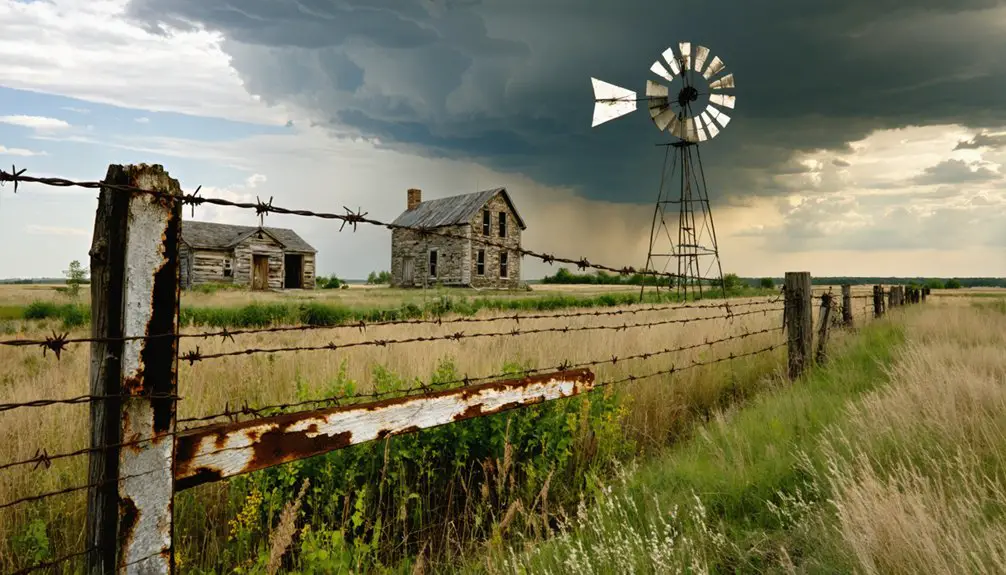
The construction of Tuttle Creek Dam began in 1952, faced a temporary halt in 1953, and resumed in 1955 until its completion marked by the July 4, 1959 closure.
You’ll find that the project’s development forced approximately 3,000 Blue Valley residents, including those from Garrison, to relocate as the Corps acquired over 33,000 acres of land.
The dam’s creation dramatically altered the region’s ecosystem, submerging more than 12,000 acres of farmland and waterways while fundamentally changing the landscape of several communities.
Dam Construction Timeline
Following years of flood control planning, construction of Tuttle Creek Dam began on October 7, 1952, marking the start of a decade-long building project.
You’ll find the dam engineering faced early challenges when work was suspended in December 1953 due to funding shortages, but construction resumed two years later in December 1955.
The project reached a significant milestone on July 4, 1959, when crews diverted the Big Blue River through the intake tower during dam closure.
The massive construction project, costing approximately $80 million, was completed in 1962.
Officials dedicated the fully operational dam on June 1, 1963, revealing an earthen embankment stretching 7,487 feet in length and rising 157 feet high, equipped with a 720-foot-wide concrete spillway.
Displacement of Residents
As construction crews broke ground on Tuttle Creek Dam in 1952, approximately 3,000 residents across ten Kansas communities faced imminent displacement from their homes and farms.
You’ll find their resident experiences marked by fierce resistance to government land acquisition, as families fought to preserve their way of life in towns like Garrison, Stockdale, and Randolph.
Despite community resilience and opposition, the federal government’s flood control priorities prevailed. By 1959, Garrison’s post office closed, signaling the town’s impending doom.
The waters rose by 1962, submerging 12,350 acres of primarily cultivated farmland. While economic compensation accompanied property acquisitions, the human cost was steep – destroying established social networks, dispersing tight-knit communities, and forever altering the Big Blue River Valley’s landscape.
Today, only Carnahan-Garrison cemetery remains above water.
Environmental Impact Assessment
Beyond the human displacement tragedy, environmental challenges emerged as defining concerns for the Tuttle Creek Dam project.
You’ll find that early environmental regulations weren’t as stringent, yet the project’s impact demanded extensive ecological assessments. Water quality issues have plagued the dam, with pesticide contamination becoming a significant concern – particularly alachlor and atrazine levels from agricultural runoff.
The project’s environmental scope expanded when seismic stability concerns surfaced, requiring additional studies and mitigation strategies.
You’re looking at a complex web of challenges: nutrient pollution from livestock, watershed management across state lines, and the delicate balance between flood control and ecological health.
The U.S. Army Corps of Engineers now uses SWAT modeling to target specific areas needing environmental improvements while considering economic feasibility.
Beneath the Waters: A Submerged Legacy
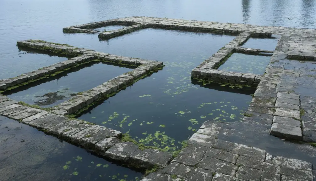
When Tuttle Creek Reservoir‘s waters rose in July 1962, they engulfed the entire town of Garrison, Kansas, erasing nearly eight decades of community history beneath their depths.
Today, you’ll find only submerged memories where homes, businesses, and farms once stood in this Blue River Valley community. The Carnahan-Garrison cemetery remains as the sole physical marker above water, preserving ghostly echoes of the town’s existence.
While neighboring Randolph partially survived by rebuilding on higher ground, Garrison became one of four towns completely claimed by the reservoir.
The town’s dissolution marked the end of a close-knit farming community that had thrived since 1879. Though the physical structures have vanished, oral histories and plat maps continue to document the legacy of this underwater ghost town.
Frequently Asked Questions
Were Any Artifacts Recovered From Garrison Before the Flooding?
You won’t find documented artifact recovery methods or confirmed salvage operations from Garrison before flooding. Historical records don’t mention any significant artifact retrieval efforts during the 1959 reservoir creation.
Did Any Original Buildings From Garrison Survive Relocation?
Like ships lost at sea, no original structures from this vanished settlement survived relocation. You won’t find any historic preservation success stories – every building was consumed by the reservoir’s waters.
What Happened to the Cemetery When the Town Was Submerged?
You’ll find the Carnahan-Garrison cemetery survived intact, as it was already situated on higher ground. Unlike other burial sites that required relocation, this cemetery avoided submersion and remains accessible today.
Are There Any Annual Commemorative Events Honoring Garrison’s History?
You won’t find any documented annual celebrations honoring Garrison’s history, though the Riley County Historical Society occasionally holds headstone cleaning workshops at the Carnahan-Garrison Cemetery to preserve local heritage.
Can the Town Ruins Be Seen During Periods of Low Water?
You won’t be able to see this ghost town’s ruins even during low water periods. No documented underwater exploration has revealed visible structures since the area was permanently flooded in 1959.
References
- https://lostkansas.ccrsdigitalprojects.com/directory/garrison
- https://legendsofkansas.com/garrison-kansas/
- https://krex.k-state.edu/items/3e79747c-4e6f-479b-9868-b852f39038ae
- https://historyandersoncoks.org/central-city
- https://archives.kansaspreservationalliance.org/ft-leavenworth-garrison-homes/
- https://krex.k-state.edu/bitstreams/0c11879d-81d9-4de4-8a51-bafc0f936649/download
- https://www.youtube.com/watch?v=ie3zwwHm2Jg
- https://en.wikipedia.org/wiki/History_of_Kansas
- https://legendsofkansas.com/kansas-central-railway/
- https://utahrails.net/up/kansas-central.php
