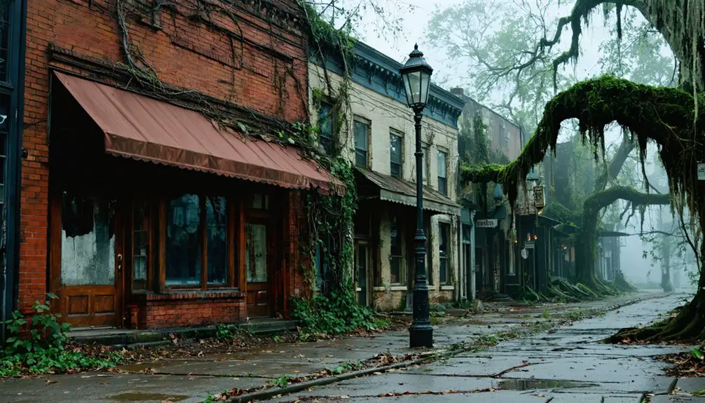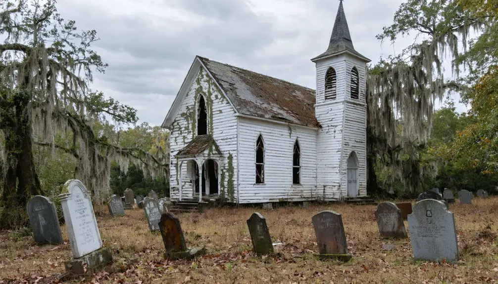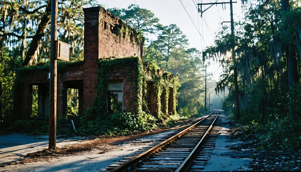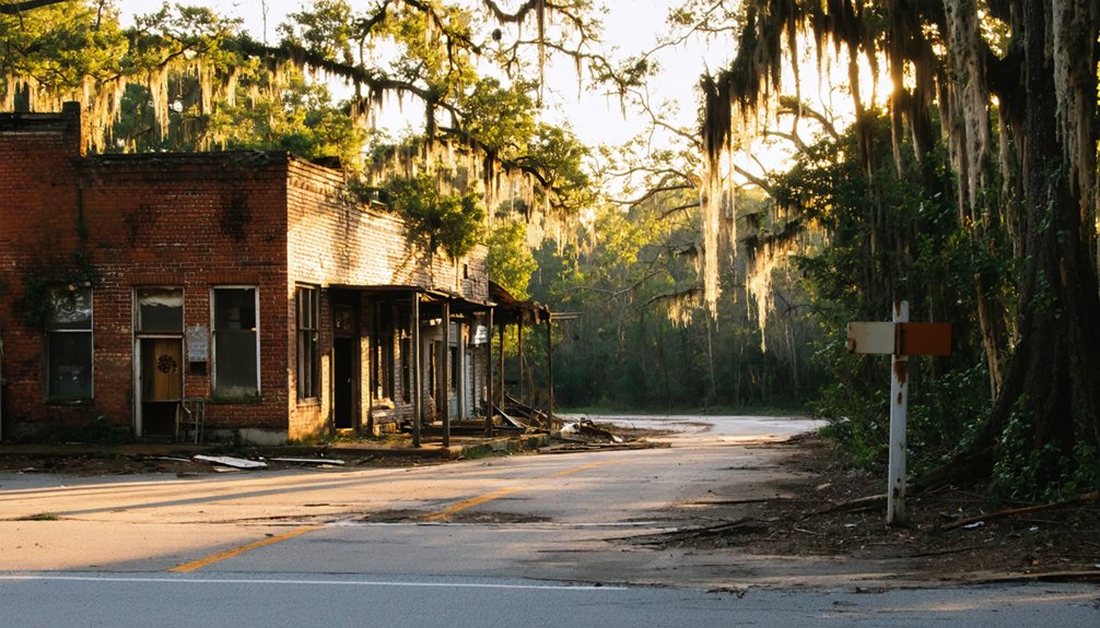
Planning a road trip to Andersonville, South Carolina means visiting a ghost town you can’t walk through—it’s submerged 60 to 90 feet beneath Lake Hartwell. Founded around 1800, this once-thriving river commerce hub was permanently flooded in 1962 when Hartwell Dam was constructed. You can reach the site via US-29 South or US-76 West, then explore by boat or dive its sunken foundations and chimneys. There’s far more to this hauntingly unique destination than meets the eye.
Key Takeaways
- Andersonville, South Carolina, now submerged beneath Lake Hartwell, offers a unique ghost town road trip experience blending history, diving, and above-water exploration.
- Reach the site via US-29 South toward Hartwell, Georgia, or US-76 West from Anderson, SC, following signs to Lake Hartwell State Park.
- Use coordinates 34°28’16″N 82°52’54″W to locate the original town site, with Andersonville Island serving as a visible above-water landmark.
- Visit during late spring or early fall for optimal visibility, manageable boat traffic, and the best overall exploration conditions.
- Respect preservation regulations by avoiding artifact disturbance, following safety protocols, and coordinating with local dive operators for guided underwater experiences.
What Is the Ghost Town of Andersonville, South Carolina?
Beneath the calm waters of Lake Hartwell lies an entire town frozen in time — Andersonville, South Carolina. Founded around 1800 in Anderson County, this once-thriving settlement served as a crucial hub for river travel and regional commerce.
When the Hartwell Dam was completed in 1962, rising waters permanently swallowed the town whole, relocating every resident and submerging its foundations, chimneys, and roadbeds roughly 60 to 90 feet below the surface.
Today, Andersonville stands as a fascinating destination for historical tourism, drawing curious travelers enthusiastic to explore America’s hidden past. Though preservation efforts face obvious challenges underwater, Andersonville Island remains as a visible reminder of what once existed here.
You can reach the site by boat, making this ghost town a uniquely adventurous stop on any road trip itinerary.
How Did Andersonville End Up at the Lake Bottom?
Although Andersonville thrived for over a century as a river commerce hub, its fate was sealed when federal engineers began constructing Hartwell Dam in the late 1950s. By 1962, rising waters swallowed the entire town, creating the vast Lake Hartwell reservoir you see today.
For over a century Andersonville thrived — then Hartwell Dam rose, and by 1962, the town vanished beneath the water forever.
Here’s what erased Andersonville from the map:
- Flooding history weakened the town’s economic foundation long before the dam arrived.
- Railroads bypassed Andersonville, draining commerce toward competing towns.
- Forced relocation displaced every resident as construction progressed.
- Complete submersion buried streets, foundations, and chimneys under 60–90 feet of water.
Historical Preservation efforts remain complicated by serious Archaeological Challenges — poor visibility, deep silt layers, and restricted access make documenting what’s left extraordinarily difficult.
The town fundamentally vanished, leaving only Andersonville Island above the waterline.
Where Exactly Is Andersonville Hiding Under Lake Hartwell?
If you’re trying to picture where Andersonville actually rests beneath the water, you’ll want to fix your eyes on coordinates 34°28’16″N 82°52’54″W, near the original confluence of the Seneca and Tugaloo Rivers.
The submerged town sits roughly 60 to 90 feet below the surface, with Hartwell, Georgia lying just across the lake to the south and Anderson, South Carolina anchoring the landscape to the north.
Your best reference point above water is Andersonville Island, a narrow two-mile strip of land that marks the ghost town’s resting place below.
Pinpointing The Submerged Location
Tucked under the glassy surface of Lake Hartwell, Andersonville rests at coordinates 34°28’16″N 82°52’54″W, near the historic confluence of the Seneca and Tugaloo Rivers.
You’ll find the submerged structures sitting 60 to 90 feet below the surface, hidden beneath layers of silt and time. Here’s what awaits beneath those dark waters:
- Stone foundations from homes and trade businesses
- Crumbling chimneys standing as silent historical artifacts
- Old roadbeds tracing the town’s original layout
- Submerged remnants of a once-thriving river commerce hub
Accessible only by boat or diving expedition, this site rewards the adventurous explorer willing to seek it out.
Andersonville Island, stretching two miles above the waterline, marks your best starting point for pinpointing exactly where history disappeared beneath the surface.
Nearby Towns And Landmarks
Where exactly does Andersonville hide beneath Lake Hartwell? You’ll find the submerged site near the confluence of the Seneca and Tugaloo Rivers, at coordinates 34°28’16″N 82°52’54″W. This junction once made the town a thriving hub for river transportation, connecting regional traders and families throughout Anderson County.
Today, Hartwell, Georgia sits just across the lake to the south, while Anderson, South Carolina lies to the north. These nearby towns give you convenient launching points for your exploration.
Andersonville Island, a narrow two-mile stretch, remains the only visible land fragment above water, offering a compelling vantage point.
Beneath that surface, historical artifacts like stone foundations and chimney remnants wait roughly 60 to 90 feet down, silently preserving a community that time and water swallowed whole.
Can You Actually Dive the Ruins of Andersonville?
Diving the submerged ruins of Andersonville is possible, but it’s not a casual weekend snorkel. You’re looking at depths between 60 and 90 feet, with limited visibility and heavy silt obscuring most surfaces. Underwater archaeology enthusiasts and historical preservation advocates consider this site genuinely significant, but preparation is non-negotiable.
Before you gear up, know what you’re dealing with:
- Depth requires advanced open-water certification
- Visibility drops dramatically depending on season and water conditions
- Silt disturbance can instantly cloud your surroundings
- Permits may be required for organized dive expeditions
Stone foundations, chimneys, and old roadbeds still hide beneath that murky water. If you’re serious about exploring Andersonville’s submerged past, connect with experienced local dive operators who know these waters well.
What Can You Still See of the Submerged Town Today?
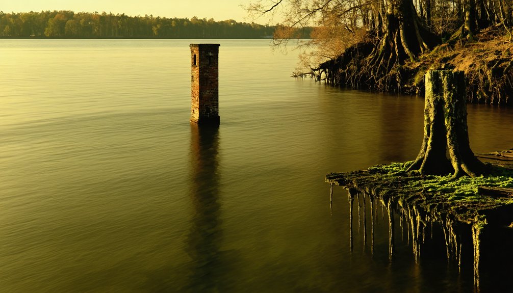
Although Andersonville sits 60 to 90 feet beneath Lake Hartwell’s surface, remnants of the town’s former life still survive down there. You’ll find stone foundations, old chimneys, and ancient roadbeds hidden beneath layers of silt — historical artifacts frozen in time since the reservoir filled around 1962.
These submerged landscapes paint a quiet picture of a community that once bustled with families, farms, and river commerce.
Above the waterline, Andersonville Island offers you a tangible connection to the past. This narrow, two-mile strip of land is the only visible fragment remaining from the original town site.
Standing there, you can look across the lake and imagine the thriving settlement that once occupied the now-flooded valley stretching out beneath you.
Explore Andersonville Island, the Last Visible Remnant
Andersonville Island stands as the sole surviving landmass from a town that disappeared beneath Lake Hartwell’s waters over six decades ago.
Stretching roughly two miles, this narrow island gives you a rare vantage point above the submerged ruins below. It’s your gateway to understanding what underwater archaeology and historical preservation mean in real, tangible terms.
When you visit, you’ll discover:
- A direct view over the original Andersonville town site
- A launching point for diving expeditions into the submerged ruins
- Quiet surroundings perfect for reflecting on the town’s forgotten history
- Accessible shoreline reachable by boat from multiple nearby marinas
Standing on this island, you’re literally above history. The foundations, chimneys, and roadbeds resting 60 to 90 feet below aren’t just underwater curiosities — they’re preserved fragments of a living community.
How Do You Reach the Andersonville Site by Boat or Car?
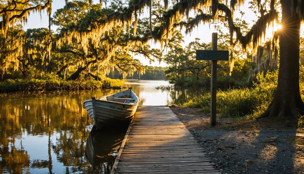
To reach the Andersonville site, you’ll drive to the Lake Hartwell area near Anderson, South Carolina, using Highway 29 or Interstate 85 as your main routes.
Once you arrive, you can launch your boat at one of several public ramps scattered around the lake’s shoreline.
From there, you’ll navigate toward the coordinates 34°28’16″N 82°52’54″W, where the submerged ruins of Andersonville lie roughly 60 to 90 feet below the surface.
Driving To Lake Hartwell
Whether you’re arriving by car or by boat, reaching the submerged site of Andersonville requires a trip to Lake Hartwell, which straddles the border between South Carolina and Georgia. The site carries deep cultural significance, drawing visitors enthusiastic to connect with its historical preservation story.
Use these landmarks to navigate your approach:
- Take US-29 South toward Hartwell, Georgia, or US-76 West from Anderson, South Carolina.
- Follow signs toward Lake Hartwell State Park for reliable water access points.
- Use coordinates 34°28’16″N 82°52’54″W to pinpoint the original town location.
- Park near boat ramps along the South Carolina shoreline for the closest access.
Once you’ve arrived, you’ll find yourself above a town frozen in time beneath roughly 60 to 90 feet of water.
Launching Your Boat
Once you’ve got your bearings at Lake Hartwell, launching your boat is the most direct way to reach the submerged site of Andersonville. Several public boat ramps dot the shoreline, giving you flexible access to the water.
Head toward coordinates 34°28’16″N 82°52’54″W, where the original town once stood near the old Seneca and Tugaloo river junction.
Once you’re on the water, navigate toward Andersonville Island as your landmark. The island marks the general boundary of the submerged community below.
If you’re planning underwater exploration, anchor carefully and dive to depths between 60 and 90 feet, where historical artifacts like stone foundations, chimneys, and old roadbeds still rest beneath the silt.
Always bring a dive partner, since visibility conditions can shift quickly and unpredictably.
Reaching the Andersonville site requires choosing between two distinct approaches: arriving by car to explore the shoreline or launching a boat to navigate directly above the submerged town.
From land, head toward Lake Hartwell’s recreational access points near Anderson, South Carolina.
By water, you’ll chart toward coordinates 34°28’16″N 82°52’54″W, positioning yourself above 60 to 90 feet of submerged history.
Use these navigation tips to maximize your visit:
- Download offline maps before departure since cell service is unreliable near the water
- Mark Andersonville Island as your visual landmark for orienting above the submerged ruins
- Respect preservation efforts protecting historical artifacts beneath the surface
- Monitor lake depth gauges to identify the most historically significant zones
Both approaches offer a raw, unfiltered connection to Andersonville’s forgotten past.
When Is the Best Time to Visit Lake Hartwell’s Ghost Town?
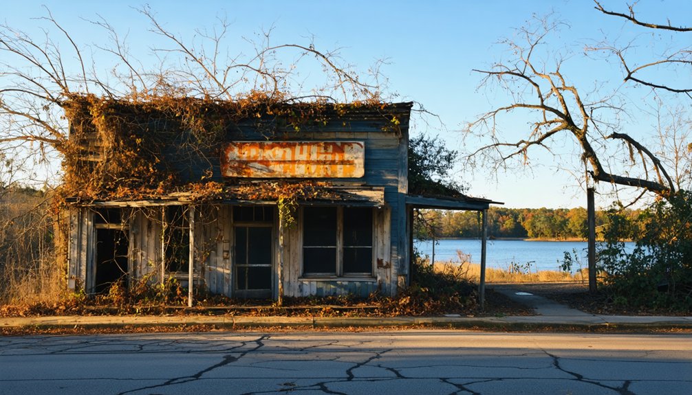
Timing your visit to Lake Hartwell can make the difference between a memorable ghost town experience and a frustrating one. Late spring and early fall offer ideal conditions, when water clarity improves and boat traffic stays manageable.
Summer draws heavy recreational crowds, which can disrupt diving expeditions searching for historical artifacts beneath the surface. Winter months bring quieter waters but colder temperatures that complicate exploration.
If you’re diving, aim for periods following dry weather stretches, since rainfall stirs up silt and reduces underwater visibility dramatically. Preservation efforts by local organizations sometimes coordinate guided dive events during perfect seasonal windows, giving you structured access to the ruins.
Check with Anderson County authorities before planning any underwater exploration, as regulations protect the submerged site year-round.
Frequently Asked Questions
Was Andersonville Residents Compensated When Forced to Relocate for Lake Hartwell?
The historical context doesn’t confirm exact relocation compensation details, but you’d find that government projects like Lake Hartwell typically included relocation compensation for displaced residents forced to abandon their homes during the 1960s construction.
Are There Any Guided Ghost Town Tours Specifically Focused on Andersonville?
You won’t find official guided tours targeting Andersonville’s haunted legends, but you can hire local dive operators or boat captains who’ll take you exploring historic landmarks submerged beneath Lake Hartwell’s mysterious depths independently.
Do Any Local Museums Display Artifacts Recovered From Submerged Andersonville Ruins?
You’ll find artifact preservation efforts and museum exhibits showcasing recovered relics at local Anderson County institutions. You’ll uncover history, you’ll spark curiosity, you’ll connect deeply with Andersonville’s submerged past through displayed foundations, tools, and recovered community remnants awaiting your exploration.
Is Fishing Allowed Near the Submerged Andersonville Site Within Lake Hartwell?
You can cast your line near the submerged Andersonville site! Lake Hartwell’s fishing regulations permit angling throughout the reservoir, letting you enjoy diverse aquatic wildlife while floating above this hauntingly beautiful, history-rich underwater ghost town.
What Permits Are Required Before Diving the Submerged Ruins of Andersonville?
You’ll need to research specific diving permits focused on historical preservation and environmental impact before exploring Andersonville’s submerged ruins. Contact South Carolina’s DNR and Army Corps of Engineers, as they actively regulate access to protect this underwater heritage site.
References
- https://www.randomconnections.com/in-search-of-andersonville-and-a-retreat/
- https://en.wikipedia.org/wiki/List_of_ghost_towns_in_South_Carolina
- https://www.thewanderingappalachian.com/post/the-underwater-towns-of-appalachia
- https://www.rootsandrecall.com/anderson/buildings/andersonville-andersonville-island/
- https://andersonscliving.com/townville/a-town-beneath-townville/
- https://kids.kiddle.co/Andersonville
- https://sctravelguide.com/2018/06/11/south-carolina-ghost-towns/
- https://www.randomconnections.com/podcast/carolina-ghost-towns-andersonville/
- https://www.youtube.com/watch?v=BYhS5h_QUkc
- https://www.youtube.com/watch?v=dBu9SJ9uPl0