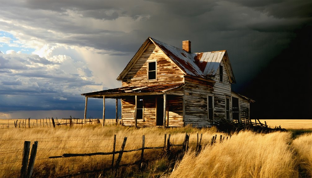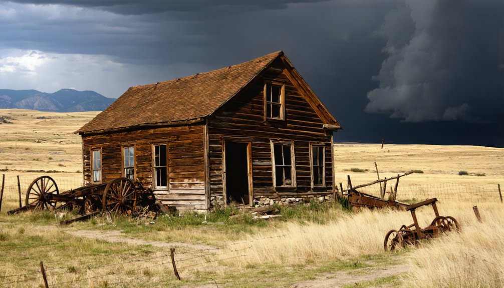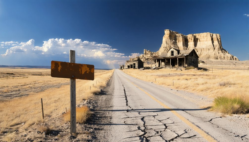
Planning a ghost town road trip to Castle Rock, South Dakota means heading north on SD Highway 79, about 17 miles from Newell through open Butte County terrain. Unlike touristy ghost towns, Castle Rock’s historic site is now a working farm with no signage, parking, or ruins visible from the highway. It’s quiet, authentic, and best experienced when you arrive informed. There’s plenty more to uncover before you hit the road.
Key Takeaways
- Castle Rock is an unincorporated ghost town in Butte County, located 17 miles north of Newell along SD Highway 79.
- The site is private property with no parking, signage, or visitor access; viewing is from the highway only.
- Fuel up in Newell before departing, as no gas stations exist along the remote rural route.
- Research Butte County archives and the State Historical Society of South Dakota to enrich your visit beforehand.
- Pack essentials including water, snacks, an emergency kit, and binoculars, and prepare for limited cell service.
What Is Castle Rock, South Dakota?
Castle Rock is an unincorporated community in Butte County, South Dakota, sitting along Highway 79 about 17 miles north of Newell.
Today, a working farm occupies the historic site, making it one of the Black Hills’ quieter ghost towns rather than a polished tourist destination. You won’t find reconstructed storefronts or guided tours here — just open land and the weight of mining history carried by the region.
A working farm now stands where miners once roamed — no guided tours, just open land and honest history.
The Black Hills once hosted placer mining operations that sparked transient communities like this one, leaving behind local folklore as their most durable legacy.
Castle Rock has no municipal government, no census data, and no official preservation status. What it offers instead is raw authenticity — a genuine relic you can appreciate from the highway on your own terms.
How to Reach Castle Rock on SD Highway 79
To reach Castle Rock, you’ll start your journey in Newell, a small town in Butte County that serves as your launching point.
From there, head north on SD Highway 79 for approximately 17 miles, keeping an eye out for the farm site that now occupies the historic location.
The route cuts through rural Butte County, so fuel up and check your cell service before you leave town.
Starting From Newell
Heading north out of Newell on SD Highway 79, you’ll cover roughly 17 miles before reaching the Castle Rock site. The drive itself sets the tone — wide open Butte County terrain that rewards those willing to chase local folklore and fading mining history through the Black Hills.
You’re moving through land that once hummed with transient communities, prospectors, and placer operations that vanished almost as quickly as they appeared. Keep your fuel tank full and your expectations honest, because Castle Rock today is a working farm, not a restored attraction.
No visitor center greets you, no signs mark the spot. You’ll identify the site from the highway, take it in, and carry forward — exactly the kind of raw, unfiltered freedom a genuine ghost town road trip promises.
Navigating SD Highway 79
SD Highway 79 does the guiding for you once you roll out of Newell — it’s a straight, unhurried run north through open Butte County landscape with minimal turns to second-guess.
Keep these road safety essentials in mind:
- Drive approximately 17 miles north from Newell to reach Castle Rock’s farm site.
- Watch for local wildlife crossing the highway, particularly deer during dawn and dusk hours.
- Maintain steady speeds since rural roads offer limited shoulder space for sudden stops.
- Note your fuel level before departing — no gas stations exist at the destination.
The highway delivers you directly to the site, visible from the road itself. No detours, no guesswork — just open sky, rolling terrain, and the quiet satisfaction of finding somewhere most travelers never bother to seek.
What You’ll Actually See When You Get There
When you arrive at Castle Rock, you won’t find crumbling saloons or weathered foundations — just a working farm quietly occupying the historic site.
You’ll take in the view from SD Highway 79, since the private property puts any closer exploration off-limits.
No visible ruins, ash heaps, or structural traces remain publicly documented, so your experience here is more about imagining the past than witnessing it.
Farm Replaces Former Town
Once you pull off SD Highway 79, the reality of Castle Rock sets in fast: there’s no crumbling saloon, no weathered storefronts, and no rusted mining equipment to photograph. A working farming community has replaced whatever once stood here. The historical significance remains, but it’s buried beneath everyday agricultural life.
Here’s what you’ll actually encounter:
- Active farmland occupying the entire historic site
- No designated parking, signage, or visitor access points
- Private property boundaries you must legally respect
- A highway-only vantage point as your sole viewing option
You’re fundamentally stopping to observe someone’s livelihood, not a preserved relic. That’s the honest trade-off Castle Rock offers. Freedom-seekers who crave open exploration will find this site humbling rather than thrilling.
Highway Views Only
Pulling up to Castle Rock on SD Highway 79, you’ll see flat agricultural land stretching in every direction — no dramatic ruins, no interpretive signs, no dramatic silhouette breaking the horizon. A working farm now occupies the historic site, and that’s genuinely all there’s to see from the road.
You won’t walk through crumbling structures or trace mining history through visible foundations. What remains lives mostly in local folklore and county archives rather than the landscape itself.
Still, standing on that highway shoulder connects you to the Black Hills’ broader ghost town story — one built on transient mining communities that appeared and vanished within years.
Treat it as a contemplative stop, snap your photo from the road, and respect the private property beyond it.
No Ruins Remain Visible
Expect nothing dramatic when Castle Rock comes into view — and that’s not a warning so much as a reality check. You won’t find museum exhibits or crumbling walls echoing town legends.
What you’ll actually encounter:
- A working farm occupying the historic footprint
- Open rural landscape stretching along SD Highway 79
- No foundations, ash heaps, or structural remnants visible from the road
- No signage acknowledging the site’s ghost town history
That’s your view — honest and unfiltered. The freedom here isn’t in exploring ruins; it’s in knowing exactly what you’re getting before you arrive.
Castle Rock rewards the curious traveler who values authenticity over staged experiences. You’re seeing a real place, unchanged, unmarked, and entirely indifferent to your expectations.
Nearby Black Hills Ghost Towns Worth Adding to Your Castle Rock Route
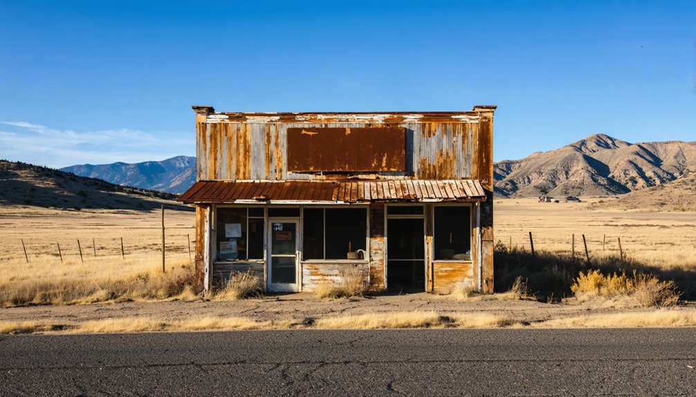
Since the Black Hills hold over 600 ghost towns, your Castle Rock stop is really just the beginning of a much richer road trip.
Rockerville stands out as a must-visit addition to your route, where historical mining legends shaped what was once called Captain Jack’s Dry Diggin’s. Unlike Castle Rock’s quiet farm setting, Rockerville has been rebuilt into a walkable attraction with visible structures that bring ghost town legends to life.
You’ll find tangible connections to the placer mining era that transformed this entire region. Some lesser-known sites offer only foundation traces or ash heaps, but they’re worth exploring if you crave authentic, undisturbed history.
Grab a Black Hills ghost town map before you leave, and let the region’s expansive frontier past guide your journey.
What to Pack for the Drive Out to Castle Rock
With your ghost town map loaded and your route planned, packing the right gear will make the difference between a smooth rural drive and an uncomfortable scramble. Butte County’s remote stretches offer limited support, so you’ll want to self-sufficient before leaving Newell.
Packing the right gear makes all the difference on Butte County’s remote stretches — self-sufficiency starts before you leave Newell.
Follow these road condition tips and prep essentials:
- Emergency kit — jumper cables, a spare tire, and basic tools handle unexpected breakdowns on isolated Highway 79
- Water and snacks — no services exist at Castle Rock’s farm site
- Wildlife encounter supplies — keep binoculars handy; deer and pronghorn frequently cross rural Black Hills roads
- Camera and offline maps — cell service drops unpredictably, so download your route beforehand
Pack light but smart, and you’ll arrive ready to experience Castle Rock entirely on your terms.
Where to Find Castle Rock’s Historical Records Before You Go

Before you hit the road, digging into Castle Rock’s historical records will sharpen your visit and fill in gaps that no highway sign ever could. Start with Butte County’s local records, where historical archives may hold photographs, land surveys, and early settler accounts tied directly to the site. These documents often reveal details that no roadside marker captures.
You’ll also want to explore South Dakota’s state historical society, which maintains regional collections covering the Black Hills’ 600-plus ghost towns. Old-timer recollections occasionally appear in archived newspapers and county histories, offering raw, firsthand accounts of life near Castle Rock.
Cross-reference multiple sources to build an accurate picture before you arrive. Going in informed transforms a quiet farm along Highway 79 into a story you can actually see.
Frequently Asked Questions
Is Castle Rock’s Farm Site Visible From South Dakota Highway 79?
You’ll spot Castle Rock’s farm site from SD Highway 79, where mineral deposits and fossil remains shaped this land’s history. It’s your best view, as no public access exists beyond the open road.
Are There Any Annual Events Commemorating Castle Rock’s Mining History?
You won’t find any annual events commemorating Castle Rock’s mining history. The site remains a private farm, so you’ll need to explore Butte County archives or nearby Rockerville’s tourist attractions to satisfy your pioneer spirit.
Can Photography of Castle Rock Be Done Legally From the Highway?
Like a photographer framing the horizon, you can legally capture Castle Rock from SD Highway 79. There aren’t any photography restrictions from public roads, so shoot freely — just respect private property boundaries and don’t trespass onto the farm.
What Is the Best Time of Year to Visit Castle Rock?
You’ll find late spring or early fall offers the best seasonal weather for your visit. You’ll dodge visitor crowds easily since Castle Rock’s remote highway location stays naturally uncrowded, rewarding your adventurous spirit year-round.
Are There Guided Ghost Town Tours That Include Castle Rock on Their Route?
No formal guided tours include Castle Rock in their ghost town history route. You’ll find better tour options at nearby Rockerville, where rebuilt structures bring the past alive, letting you roam freely through living history.
References
- https://www.sdpb.org/rural-life-and-history/2023-08-21/some-black-hills-ghost-towns-and-their-origins
- https://en.wikipedia.org/wiki/Castle_Rock