Planning a ghost town road trip to Castle Rock, Utah, starts at Exit 185 on I-80 in Summit County. Founded in 1860 as a Pony Express station, it’s now a fascinating collision of frontier history and an active automotive junkyard. You’ll need the landowner’s permission to visit, since it’s private property. Pack water, a flashlight, and offline maps before you go. There’s far more to this overlooked stretch of Utah history than you’d expect.
Key Takeaways
- Castle Rock, Utah, is accessible via Interstate 80, Exit 185 in Summit County, making it a quick detour for road trippers.
- The site is private property functioning as a junkyard; obtain landowner permission before visiting to avoid trespassing consequences.
- Use GPS coordinates (41.124115, -111.188413) and offline maps, as cell service may be unreliable in the area.
- Arrive during daylight hours in summer for optimal exploration and photography conditions, as no amenities exist on-site.
- Enhance your trip by visiting nearby ghost towns like Wahsatch, Echo City, Kelton, and Terrace along the I-80 route.
What Is Castle Rock, Utah: And Why Does It Matter on I-80?
Castle Rock, Utah sits just off Interstate 80 at exit 185 in Summit County, and it’s one of those rare ghost towns you can actually reach without leaving the highway corridor. The site traces its roots to 1860, when a Pony Express station anchored this stretch of frontier land.
A school followed in 1872 and served the community until 1937. Today, you’ll find a junkyard layered over that history, with a few surviving buildings still standing among the automobile wreckage.
Local legends tie the area to its alternate name, “Frenchies.” While historical artifacts are scarce, the atmosphere carries real weight.
If you’re chasing forgotten American places and value the freedom to explore on your own terms, Castle Rock earns a stop.
How Castle Rock Went From Pony Express Stop to Ghost Town
What started as a Pony Express station in 1860 set the foundation for everything Castle Rock would briefly become. That single outpost connected riders crossing a rugged landscape, making it a legitimate lifeline along the frontier corridor.
By 1872, a school had gone up, signaling real community ambition. Kids learned there until 1937, which speaks to the historical significance this small settlement quietly carried for decades.
Then the town simply faded. No dramatic collapse — just the slow erosion that claims most frontier communities once better roads and bigger towns pull people away.
Today, you’re looking at a junkyard layered over that history. Preservation challenges here are obvious — private ownership and salvage operations don’t exactly prioritize the past. But the bones of Castle Rock are still there if you know what you’re seeing.
Can You Legally Visit Castle Rock?
Knowing the history makes visiting feel more meaningful — but before you load up the car, you need to understand what you’re actually allowed to do here. Castle Rock sits on private property operating as an automotive junkyard. That changes everything about access.
Unlike public lands where you can roam freely, this site requires permission before you set foot on it. Don’t assume local folklore or historic preservation value grants you automatic entry. It doesn’t.
Research property boundaries, look for posted signage, and if possible, contact the landowner directly. Trespassing on a working junkyard carries real legal consequences.
GPS coordinates — 41.124115, -111.188413 — get you close, but respecting private property keeps your road trip from turning into an unexpected legal problem.
What Survives at Castle Rock Today: Buildings, Relics, and the Junkyard
When you pull up to Castle Rock, you’ll find a handful of buildings still standing, including a surviving gas station that hints at the town’s former roadside life.
The site has shifted into an automotive junkyard, so you’ll be weaving through salvaged vehicles and scattered relics rather than walking clean historic streets.
It’s a strange layering of history — pony express roots buried beneath decades of rusted wreckage — but that contrast makes the place oddly compelling.
Surviving Structures Still Standing
Although Castle Rock has faded into a shadow of its frontier past, a few structures still stand on the property, including a weathered gas station that hints at the site’s more recent commercial life. These surviving buildings carry real historical significance, connecting you to a settlement that began as a Pony Express station back in 1860.
You won’t find grand architectural features or restored facades here. What remains is raw and unpolished, shaped by decades of exposure and neglect.
The structures sit among scattered automobile wreckage, blending ghost town atmosphere with active salvage operations. That contrast makes Castle Rock unlike most historic sites you’ll visit.
You’re seeing history without the cleanup, and that honesty is exactly what draws road-trippers seeking something genuine off the beaten path.
Junkyard Relics And Remnants
What you find at Castle Rock today is less a preserved ghost town and more an open-air collision between history and salvage. Rusting automobile carcasses crowd the landscape alongside the few structures that survived the decades. It’s a junkyard now, officially, but historical artifacts still surface if you look carefully — remnants of a settlement that began with a Pony Express station in 1860 and quietly unraveled over the following century.
Local legends call this place “Frenchies,” and that nickname alone hints at stories the land hasn’t fully surrendered. The gas station still stands, weathered but present. You’re fundamentally walking through two timelines at once — frontier history compressed beneath layers of scrap metal and salvage.
It’s raw, unfiltered, and completely unlike a curated museum experience.
How to Get to Castle Rock at Exit 185
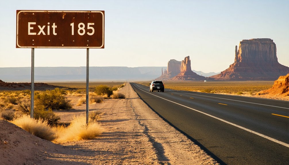
Getting to Castle Rock is straightforward if you’re already traveling along Interstate 80—just take exit 185 in Summit County, Utah. The GPS coordinates 41.124115, -111.188413 will guide you directly when signage falls short, which it often does at off-the-beaten-path sites like this one.
The site sits on private property operating as an automotive junkyard, so respect boundaries and research access before arriving. Its local folklore as both a frontier settlement and a roadside curiosity fuels its quiet tourist appeal—people pull off expecting history and find rusted cars alongside remnants of the past.
It’s a quick detour that rewards the curious traveler. Keep your coordinates handy, since cell service can be unreliable, and treat this stop as a compelling chapter in a longer Utah ghost-town journey.
Best Time to Visit Castle Rock on I-80
Once you’ve plotted your route to exit 185, timing your visit smartly makes the difference between a rewarding stop and a frustrating one. Castle Rock technically welcomes visitors anytime, but summer gives you the clearest conditions for exploring what’s left standing.
You’ll move more freely through the junkyard landscape, spot remaining structures, and get better light for photographing historical artifacts without fighting snow or mud.
Winter visits are possible, but cold temperatures and snow can obscure the site and complicate access on unpaved approaches. Don’t expect visitor amenities here — there are none.
Castle Rock is raw, unmanaged, and privately owned. Arrive during daylight, stay aware of property boundaries, and keep your stop focused. The freedom this place offers comes with the responsibility of respecting what remains.
What to Bring When Visiting Castle Rock
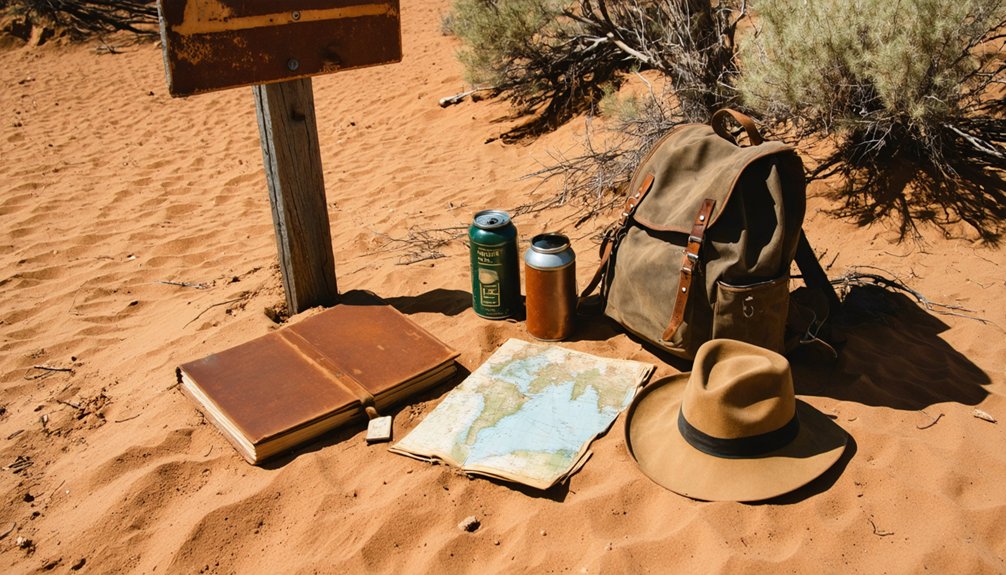
Before you head out to Castle Rock, pack smart because this private junkyard site off I-80 offers no services, no infrastructure, and no guarantees of cell service.
You’ll want a paper map, GPS coordinates (41.124115, -111.188413), a compass, a flashlight, water, and a portable charger at minimum.
Navigation tools aren’t optional here — they’re what keep a quick highway stop from turning into a frustrating dead end.
Essential Gear To Pack
Since Castle Rock sits on private property off a remote stretch of I-80, you’ll want to pack smart before you head out. Cell service is spotty out here, so bring a paper map and load the GPS coordinates (41.124115, -111.188413) offline before you leave.
Your essential kit should include:
- Water – services are minimal once you exit
- Flashlight – useful for exploring shadowy structures
- Portable charger – keep your devices alive
- Compass – backup navigation when signals drop
- Camera – capture historical artifacts and the haunting junkyard landscape
Local legends tied to the 1860 Pony Express station make this stop genuinely worth documenting. Pack light, stay aware of property boundaries, and you’ll move freely through this forgotten frontier without unnecessary setbacks.
Traveling to Castle Rock means trading reliable cell service for open desert highway, so you’ll want your tools locked and loaded before exit 185 comes into view.
Download offline maps using the GPS coordinates 41.124115, -111.188413, and pack a physical compass as backup.
A flashlight helps you navigate shadowed corners where historical artifacts and local legends quietly collide — remnants of the 1860 Pony Express station still carry that weight.
Bring a fully charged power bank, fresh water, and a printed copy of your route.
Since Castle Rock sits on private property functioning as a junkyard, research boundary lines before stepping out of your vehicle.
Respecting those limits keeps your adventure legal and your road-trip freedom intact for every stop ahead.
Other Ghost Towns Worth Adding to Your I-80 Route
While Castle Rock makes for a fascinating quick stop, Utah’s I-80 corridor has more ghost towns worth folding into your route. Local legends and photography tips travel well when you’re chasing history across the state. Consider adding these stops:
- Wahsatch – A railroad boomtown with scattered ruins and strong local legends about its rapid rise and fall.
- Echo City – Once an essential supply hub, now a quiet remnant perfect for wide-angle photography tips in golden hour light.
- Kelton – A former railroad town near the Great Salt Lake offering open, dramatic landscapes.
- Terrace – Remote but rewarding, with deteriorating structures that reward patient explorers willing to leave the pavement.
Each stop deepens your understanding of Utah’s frontier past without demanding major detours.
Frequently Asked Questions
Is Castle Rock Also Called Frenchies by Locals and Historians?
Yes, you’ll find that Castle Rock carries the nickname “Frenchies,” a name steeped in local legends and historical significance. This intriguing alias connects you deeper to the site’s rich, mysterious frontier past worth exploring.
When Was the Castle Rock School Built and When Did It Close?
Built in 1872, Castle Rock’s school served students for 65 remarkable years before closing in 1937. You’ll find haunted legends surrounding its walls, though preservation efforts remain minimal — it’s a freedom-seeker’s forgotten treasure worth exploring.
What Were GPS Coordinates for Castle Rock Ghost Town in Utah?
You’ll find Castle Rock’s GPS coordinates at 41.124115, -111.188413. Lock these into your device before you go—it’s an essential visitor tip for tracking down historical landmarks that don’t always appear on standard maps!
How Long Did the Original Pony Express Station Operate at Castle Rock?
The knowledge doesn’t specify how long the pony express station operated, but you’ll find its 1860 roots quietly slumbering in history preservation efforts — making Castle Rock’s ghost town tourism a fascinating freedom-seeker’s discovery worth exploring firsthand.
Does Cell Service Work Reliably Near Castle Rock at Exit 185?
Don’t count on cell service reliability near Castle Rock’s Exit 185—signal strength updates are spotty at best. You’ll want to download maps, grab coordinates, and embrace the freedom of exploring Utah’s open road unplugged.
References
- https://www.youtube.com/watch?v=9GkO116TIFU
- https://www.ghosttowns.com/states/ut/castlerock.html
- https://www.visitutah.com/things-to-do/history-culture/ghost-towns
- https://www.onlyinyourstate.com/trip-ideas/utah/road-trip-ut-ghost-towns
- https://x.com/i/grok/share/ABEvnMY8NC4da16h0ndNJqylY
- https://en.wikipedia.org/wiki/Castle_Rock
- https://www.onlyinyourstate.com/trip-ideas/utah/abandoned-places-road-trip-ut
- https://www.deseret.com/utah/2023/1/21/23549285/utah-ghost-towns-mormon-history/
- https://www.utah.com/things-to-do/attractions/old-west/ghost-towns-in-utah/
- https://435locals.com/ghost-towns-near-zion/