Planning a ghost town road trip to Dana, Massachusetts means stepping into a place that was deliberately erased in 1938 to make way for the Quabbin Reservoir. You’ll walk cellar holes, trace crumbling foundations, and explore Dana Common — all that remains of a thriving community that once housed 2,500 residents. Start your trip from Petersham via Route 32A, visit in fall for the best experience, and bring sturdy boots. There’s far more to this haunting landscape than you’d expect.
Key Takeaways
- Dana, Massachusetts, is a ghost town disincorporated in 1938, flooded by the Quabbin Reservoir, leaving cellar holes and foundations as remnants.
- Access Dana via Route 32A near Petersham, using offline maps and landmarks since no traditional town center or street address exists.
- Visit in fall (late September to early November) for the best visibility, scenery, and overall ghost town exploration experience.
- Combine Dana with the submerged towns of Enfield, Greenwich, and Prescott for a fuller New England ghost town road trip.
- Bring sturdy footwear, prepare for unmarked terrain, and approach the site respectfully, honoring the 2,500 displaced residents’ history.
What Was Dana, Massachusetts?
Before the Quabbin Reservoir swallowed the Swift River Valley, Dana was a thriving small town in Worcester County, Massachusetts.
It was incorporated in 1801 from parts of Petersham, Greenwich, and Hardwick, and named after statesman Francis Dana.
Why Dana Is One of New England’s Most Unusual Ghost Towns
Unlike most ghost towns frozen in time with weathered storefronts still standing, Dana doesn’t fit the mold. The state deliberately razed it, relocating structures and displacing roughly 2,500 residents to make way for the Quabbin Reservoir.
Dana wasn’t abandoned — it was erased. The state razed it deliberately, displacing 2,500 residents to create the Quabbin Reservoir.
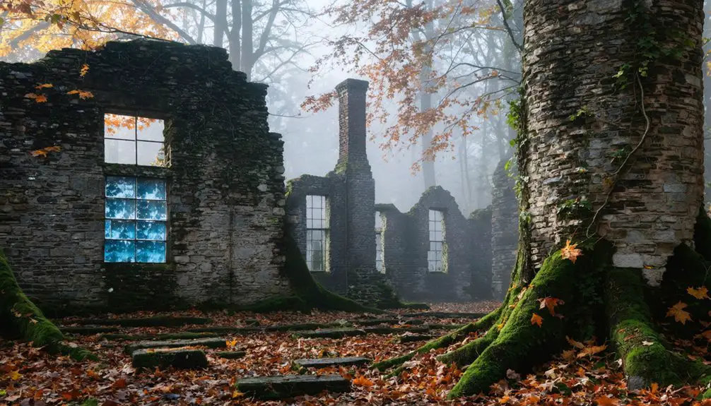
What you’ll find today isn’t a preserved frontier street — it’s a forested landscape of cellar holes, crumbling foundations, and quiet roads returning to wilderness.
That unusual erasure is exactly what makes Dana compelling. You’re not walking through a relic; you’re reading absence.
Urban legends and folklore traditions have grown around the lost towns, drawing visitors who feel the weight of a community intentionally unmade.
Dana rewards curious, independent explorers who want more than a tourist attraction — you want raw history written into the land itself.
How the Quabbin Reservoir Project Erased Dana From the Map
The story behind Dana’s erasure starts with a simple, brutal calculation: Boston needed water. Between 1930 and 1939, the state built the Quabbin Reservoir, sacrificing four Swift River Valley towns — Dana included — for the greater metropolitan thirst. About 2,500 residents lost their homes, their community, and their history.
The environmental impact reshaped the entire valley, flooding lowlands and forcing the razing of nearly everything standing. Historical preservation wasn’t the priority — water supply was.
Here’s what the project meant for Dana specifically:
- Homes, churches, and businesses were demolished or relocated.
- Cemeteries were physically moved to higher ground.
- The town was legally disincorporated on April 28, 1938.
You’re not visiting a preserved town. You’re visiting what survival looked like after erasure.
What You Can Still See at Dana Common Today
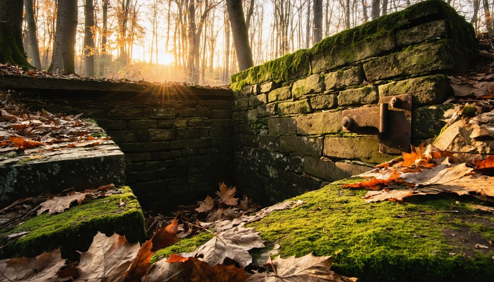
When you make your way to Dana Common today, you’ll find a landscape of cellar holes, crumbling foundations, and old road traces cutting through regrown forest.
The common itself survives above the reservoir’s waterline, giving you a rare, tangible connection to the town that once stood here.
Walk the area carefully and you can piece together where homes, businesses, and gathering places once defined everyday life in Dana.
Surviving Foundations And Roads
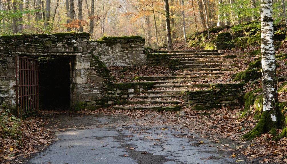
Arriving at Dana Common today, you’ll find a haunting landscape of cellar holes, crumbling foundations, and old road traces threading through dense forest. These historical artifacts connect you directly to lives lived before evacuation erased everything familiar.
Preservation challenges mean nothing’s been restored — what you see is raw and unfiltered.
Make the most of your visit by focusing on:
- Cellar holes — depressions in the earth marking where homes and businesses once stood
- Road traces — original gravel paths still cutting through overgrowth, guiding your exploration
- Foundation walls — stacked stone remnants revealing the scale of former structures
Walk slowly, look down, and let the terrain tell its story. Dana doesn’t perform its history — it simply holds it.
Dana Common Today
Beyond those buried foundations and forgotten road traces, Dana Common itself rises as the clearest surviving landmark of what this town once was. When you visit, you’ll find an open, grassy space that preservation efforts have kept accessible within the Quabbin’s protected watershed lands. Monuments mark the ground where a functioning town once operated for over 137 years.
Standing there, you’ll sense why local legends still circulate about Dana’s vanished streets, neighbors, and daily rhythms. The common sits above the reservoir’s waterline, spared from flooding but not from time. Trees press in around the edges, slowly reclaiming cleared land.
You won’t find restored buildings or interpretive centers here — just open sky, quiet terrain, and the weight of knowing an entire community once gathered right where you’re standing.
How to Get to Dana, Massachusetts

Getting to Dana, Massachusetts isn’t quite like steering to a typical destination — there’s no town center with a street address to plug into your GPS. Instead, you’re guiding toward a landscape of historical artifacts, local legends, and forgotten foundations swallowed by time and the Quabbin Reservoir project.
Finding Dana isn’t about addresses — it’s about chasing a town swallowed whole by history and water.
Here’s how to make it work:
- Head to Petersham — Dana’s former land was annexed here, making it your closest reference point for orientation.
- Access via Quabbin Reservoir gates — Enter through managed MDC/DCR access points along Route 32A for legal entry into the restricted watershed land.
- Download offline maps — Cell service disappears fast in these woods, so prepare your route before you leave civilization behind.
The Best Time of Year to Visit Dana and the Quabbin Area
Once you’ve sorted out your route to Dana, your next call is figuring out *when* to go — because timing shapes the entire experience out here. Fall delivers the sharpest visibility through the tree line, letting you spot cellar holes and remnants of historical architecture that summer foliage buries completely.
Late September through early November hits the sweet spot — crisp air, dramatic color, and fewer crowds. Spring works too, before the canopy fills in. Avoid deep winter unless you’re prepared for rough, icy trails. Summer is lush but obscures the ruins considerably.
Whenever you go, bring the local folklore into your prep — stories of displaced families and a drowned valley hit differently when you’re standing on Dana Common yourself.
What to Pack for a Ghost Town Hike at Dana
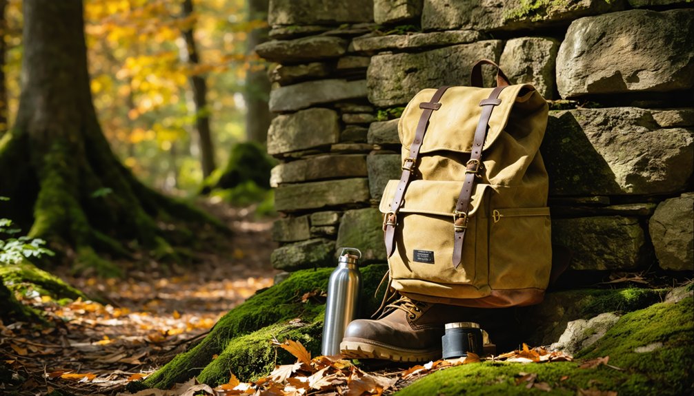
Packing smart makes the difference between a rewarding explore and a frustrating one at Dana. The terrain is forested, uneven, and scattered with cellar holes, so you’ll want gear that keeps you moving confidently through the ruins.
- Sturdy hiking boots – Uneven ground and hidden foundations make ankle support essential.
- Trail map or GPS device – Marked paths aren’t always obvious, and you’ll want to navigate Dana Common and surrounding remnants without getting turned around.
- Camera and notebook – Document what you discover without disturbing historical artifacts; preservation efforts protect these ruins, meaning you observe but never remove.
Bring water, dress in layers, and respect the landscape. Dana’s story deserves thoughtful visitors who engage with its history rather than treat it carelessly.
The Other Lost Towns Along the Quabbin Road Trip Route
Dana isn’t the only town the Quabbin swallowed. Enfield, Greenwich, and Prescott all met the same fate in 1938, each one cleared to feed Boston’s thirst for fresh water.
Together, these four lost towns form a road trip route unlike anything else in New England.
Together, these four drowned towns trace a road trip route unlike anything else in New England’s quiet history.
As you move between sites, you’ll notice the landscape shifts from forested ruins to open reservoir views. Each town carries its own urban legends and folk stories — whispered accounts of displaced families, abandoned churches, and lives uprooted overnight.
Greenwich and Enfield sat closer to the water and left fewer visible remains, while Prescott’s higher ground preserved scattered foundations.
Exploring all four connects you to a shared history of loss, resilience, and the quiet freedom of walking ground most people never know exists.
How to Plan a Full Day in the Lost Towns of the Swift River Valley
A full day in the Swift River Valley rewards you most when you start early and move deliberately. The landscape holds more than ruins—it carries local legends, erased communities, and echoes of historical architecture that once defined ordinary New England life.
- Begin at Dana Common — walk the grounds, read the monuments, and trace the cellar holes through the tree line.
- Drive to Enfield and Greenwich overlooks — use Quabbin’s access roads to frame the valley’s scale and understand what flooding took.
- End near Petersham — grab a map at the local historical society and connect Dana’s story to the broader region.
Move at your own pace. Nobody’s rushing you. That freedom is exactly what this kind of road trip is built for.
Frequently Asked Questions
Can You Bring Pets or Dogs to the Dana Common Area?
The knowledge base doesn’t specify pet policies or dog restrictions for Dana Common. You’ll want to check directly with the Quabbin Reservoir’s managing authority before bringing your furry companion to explore these historic ruins.
Is There a Fee to Access the Quabbin Reservoir Watershed Lands?
Imagine arriving at the gate with empty pockets — you’re in luck! You won’t pay entrance fees, but reservoir regulations and access restrictions still govern where you can freely roam the Quabbin’s watershed lands.
Are Guided Tours of the Dana Ghost Town Site Available?
Guided tour options aren’t widely formalized for Dana’s ghost town site, but you’ll find historic preservation walks occasionally offered through local groups, letting you freely explore cellar holes, Dana Common, and the reservoir’s hauntingly beautiful ruins.
Is Photography or Drone Use Permitted Over the Quabbin Reservoir?
You’ll want to check Drone regulations before launching anything into those vast skies — the Quabbin restricts drone flights entirely. Photography permits aren’t required for personal shots, but always verify current MDC rules before visiting.
Are Restrooms or Facilities Available Near Dana Common for Visitors?
You won’t find modern visitor amenities or restrooms near Dana Common, so plan accordingly. Historical preservation keeps the area rugged and wild — pack your own supplies and embrace the freedom of exploring this untamed, forgotten landscape.
References
- https://www.outoftheoffice4good.com/post/hiking-to-the-abandoned-town-of-dana-massachusetts
- https://newengland.com/yankee/history/lost-towns-quabbin-reservoir/
- https://www.youtube.com/watch?v=NrBWmYUnqPM
- https://www.atlasobscura.com/places/town-of-dana
- https://www.facebook.com/groups/1768482846702694/posts/2339091529641820/
- https://en.wikipedia.org/wiki/Dana
- https://www.youtube.com/watch?v=AcXw4atvFVI
- https://www.oddthingsiveseen.com/2013/09/high-and-dry-and-dearly-departed-ghost.html
- http://www.skinut.net/dana.htm
- https://www.youtube.com/watch?v=U06JQFsxezg