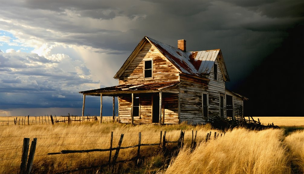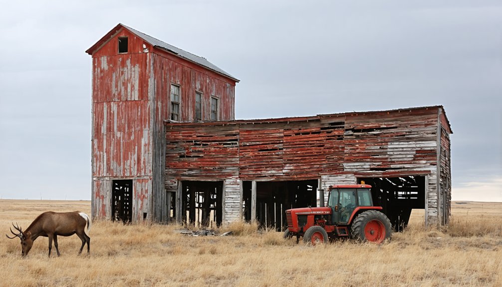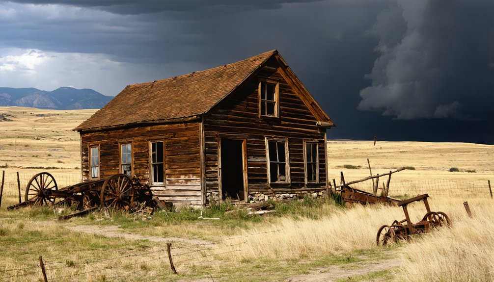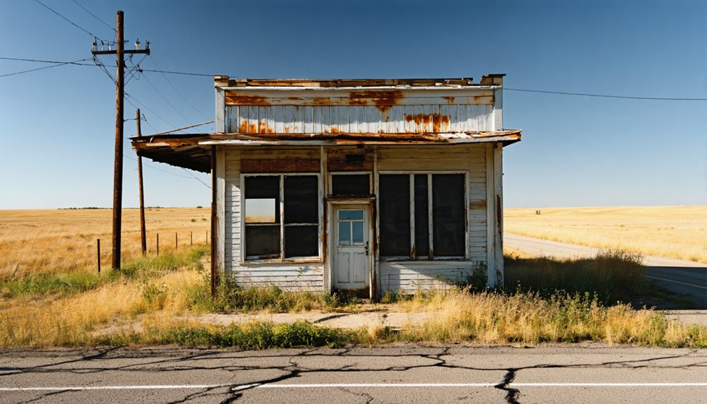
Planning a ghost town road trip to Firesteel, South Dakota, means heading deep into the Cheyenne River Indian Reservation in Dewey County, where this once-thriving coal mining community peaked at 500 residents before fading into history. You’ll need tribal permits, solid navigation tools, and a well-stocked vehicle for remote terrain. Summer’s your safest window for travel, though spring and fall visits are possible with caution. Everything you need to plan your trip is right ahead.
Key Takeaways
- Firesteel is an unincorporated ghost town on the Cheyenne River Indian Reservation in Dewey County, accessible via roads across open ranch land.
- Obtain permits from the Cheyenne River Sioux Tribe before visiting, and follow all tribal regulations, including staying on designated roads and respecting sacred sites.
- Visit during summer for the most reliable road conditions, as spring, fall, and winter present significant travel hazards.
- Pack offline maps, extra fuel, water, emergency supplies, and non-perishable snacks, as the remote location offers no services or reliable cell coverage.
- Book accommodations in Eagle Butte in advance, as Firesteel has no lodging; dispersed reservation camping is available with proper tribal permits.
What Is Firesteel, South Dakota?
Tucked within the Cheyenne River Indian Reservation in Dewey County, Firesteel is an unincorporated ghost town in north central South Dakota that once thrived as a prominent coal mining community in the early 1900s.
At its peak, the town supported a population of 500 and supplied coal to South Dakota colleges and even the state capitol building. Today, it’s nearly vanished, with most remaining locals earning their living through farming or ranching.
The Lakota name for Firesteel, Čhaȟlíok’e Otȟúŋwahe, reflects the deeper community stories woven into this landscape.
Historical preservation efforts keep its remarkable past alive, reminding visitors that this quiet, windswept place once powered an entire state.
If you crave off-the-beaten-path exploration, Firesteel rewards curious travelers willing to seek it out.
Firesteel’s Coal Mining Past: From Boom Town to Ghost Town
When you visit Firesteel, you’re stepping into the legacy of a once-thriving coal mining boom town that supported a population of 500 in the early 1900s.
The coal pulled from Firesteel’s mines didn’t just fuel local homes — it heated South Dakota’s state capitol and powered most of the state’s colleges.
Yet despite that remarkable institutional reach, the mines eventually went silent, leaving behind a near-vanished community that time has nearly swallowed whole.
Coal Mining Boom Era
Once a thriving coal mining hub, Firesteel bustled with a population of 500 in the early 1900s, fueling much of South Dakota’s institutional backbone — its colleges, universities, and even the state capitol building all burned Firesteel coal to stay warm.
Walking through what remains today, you can almost feel the energy of those packed streets, the weight of miners hauling coal from the earth beneath your feet.
Local legends and community stories paint a vivid picture of a town that punched well above its size. Firesteel wasn’t just surviving — it was essential.
That kind of independence, that raw contribution to an entire state’s warmth, speaks directly to the freedom-driven spirit that built communities like this one from nothing but grit and determination.
Fueling South Dakota’s Institutions
At its peak, Firesteel’s coal mines didn’t just sustain a single town — they kept South Dakota’s most important institutions running through brutal winters. The coal extracted here heated the state capitol building and fueled most of South Dakota’s colleges, making this small reservation community an unsung powerhouse of the era.
When you visit today, that legacy feels almost impossible to imagine. Standing where 500 residents once lived and worked, you’re walking through living historical preservation — a place where community stories echo louder than any museum exhibit could.
Firesteel’s contribution wasn’t minor or regional; it was statewide. The politicians deliberating in that heated capitol building likely never considered where their warmth originated.
Now you know, and that knowledge transforms an ordinary road trip into something genuinely meaningful.
From Prosperity To Abandonment
Firesteel’s rise was swift and purposeful — by 1910, a full-fledged coal mining community of 500 residents had taken root on the Cheyenne River Indian Reservation. Its mines churning out fuel that powered institutions across the entire state.
Then, as quickly as it flourished, Firesteel faded. When coal demand collapsed, so did the town’s economic foundation, leaving residents with little reason to stay.
Today, the community has nearly vanished, with most remaining locals working as farmers or ranchers. No census bureau tracks its population. No municipal government steers its future.
For those passionate about historical preservation and community revitalization, Firesteel represents both a cautionary tale and an open invitation — explore what remains, understand what was lost, and appreciate the raw, untamed freedom of South Dakota’s forgotten places.
What’s Left to See in Firesteel Today?
Though time has stripped Firesteel of most of its former character, you’ll still find remnants of the town scattered across the rolling plains of the Cheyenne River Indian Reservation.
Historical preservation efforts remain minimal here, leaving the landscape raw and unfiltered — exactly what true ghost town explorers crave. You’ll notice aged structural foundations and weathered traces of what once housed 500 coal miners fueling South Dakota’s universities and capitol building.
Local legends whisper stories of the community’s rapid rise and equally swift decline, adding a haunting richness to your visit. Most current residents are farmers and ranchers who carry fragments of Firesteel’s past through oral tradition.
Come prepared with curiosity, respect for the land, and an appreciation for places history has quietly reclaimed.
How to Get to Firesteel on the Cheyenne River Reservation
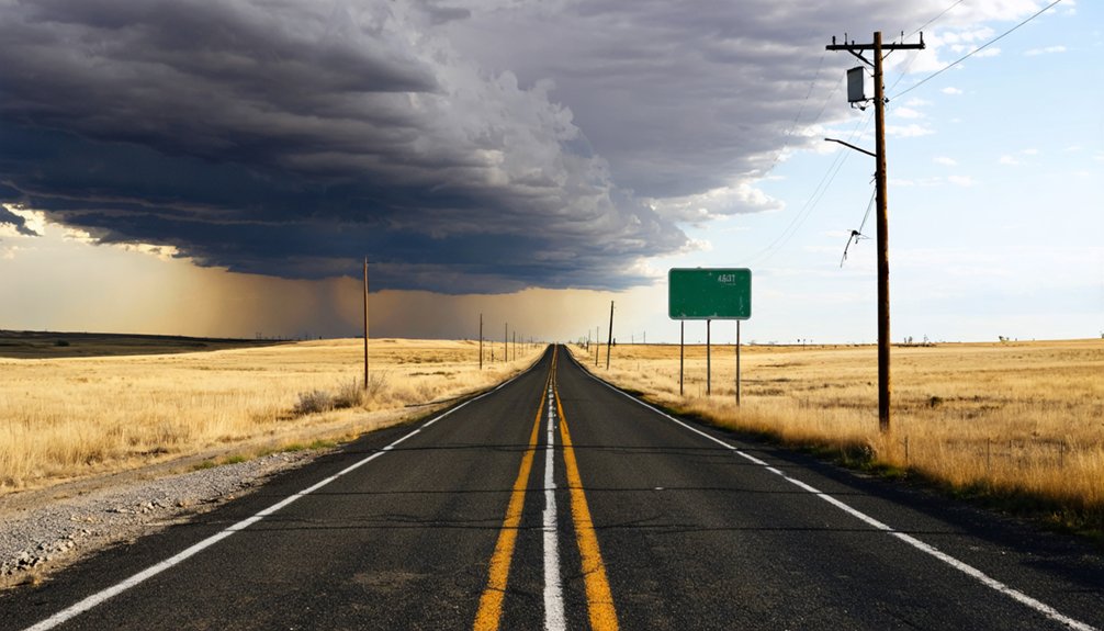
Reaching Firesteel means venturing deep into north central South Dakota, where the Cheyenne River Indian Reservation stretches across Dewey County’s open plains. You’ll navigate roads that cut through wide-open ranch land, carrying you toward coordinates 45°25′29″N 101°17′07″W at an elevation of 2,352 feet.
GPS helps, but local legends suggest the journey itself tells you something about why this coal mining community once thrived so far from everything. You’re chasing historical landmarks that most travelers never bother finding.
The Lakota called this place Čhaȟlíok’e Otȟúŋwahe, and that name still carries weight across these plains. Respect reservation land and travel protocols as you explore.
Bring fuel, water, and a spirit of genuine curiosity — Firesteel doesn’t advertise itself, and that’s exactly the point.
When to Visit Firesteel: Seasons, Weather, and Road Conditions
Timing your visit to Firesteel matters more than you might expect. Seasonal weather on the Cheyenne River Reservation swings hard between extremes.
Summers offer the most reliable road conditions, with dry, navigable routes and long daylight hours perfect for exploring.
Spring brings unpredictable mud and potential flooding that can make rural roads nearly impassable.
Fall delivers stunning prairie landscapes and cooler temperatures, though early snowstorms occasionally catch travelers off guard.
Winter is the biggest gamble — blizzards move in fast, and remote roads can close without warning.
Check road conditions before you leave, especially if you’re traveling on unpaved reservation routes. Local weather services and South Dakota’s 511 travel information line give you real-time updates.
Go prepared, stay flexible, and respect the land’s raw, unfiltered power.
What to Bring for the Drive Out to Firesteel
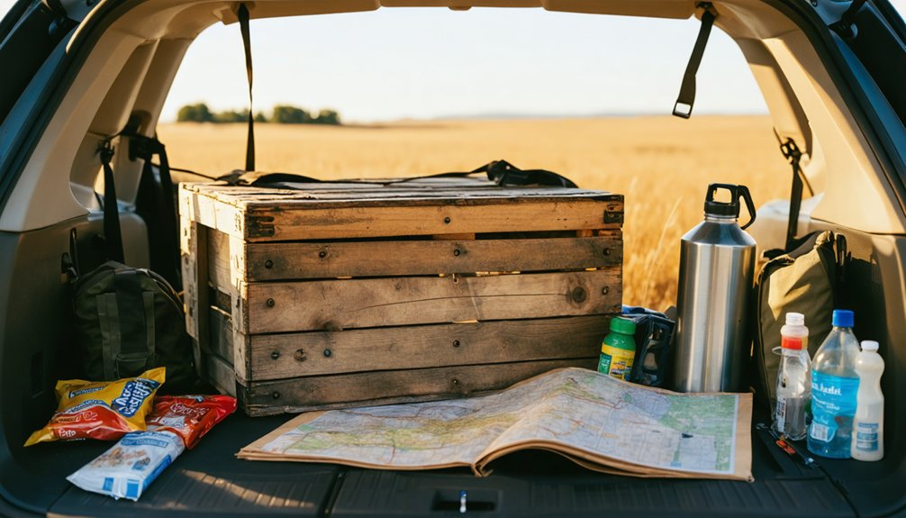
Before you head out to this remote corner of the Cheyenne River Indian Reservation, download offline maps and bring a paper backup, since cell service is unreliable and GPS signals can be spotty in north central South Dakota.
Pack your car with emergency road supplies — a spare tire, jumper cables, and a basic toolkit — because the nearest help could be miles away.
Load up on food and water, too, as you won’t find any convenience stores or restaurants once you leave the main highway behind.
Navigation and Maps
Since Firesteel sits on the Cheyenne River Indian Reservation in rural Dewey County, you’ll want reliable navigation tools before you hit the road. Cell service gets spotty fast out here, so download offline maps through Google Maps or Maps.me before you leave civilization behind.
A physical road atlas remains your best backup — freedom-seekers who’ve ventured into remote South Dakota swear by them. Mark the coordinates 45°25′29″N 101°17′07″W to pinpoint Firesteel precisely.
Community revitalization efforts and historical preservation projects have added Firesteel to some regional heritage trail guides, which can double as useful navigational references. Check with the Dewey County offices for any updated local maps.
Knowing exactly where you’re headed means more time exploring and less time second-guessing dirt road intersections in the middle of nowhere.
Emergency Road Supplies
Once you’ve got your maps sorted and your route locked in, packing the right emergency supplies becomes your next priority before rolling out toward Firesteel. This remote reservation community offers no services, so you’re completely on your own out there.
Pack these three essentials before leaving:
- Extra fuel — the nearest gas station sits far from this historically significant coal mining site
- First aid kit — accidents happen on isolated rural roads with zero nearby help
- Emergency water and food — cultural significance doesn’t feed you if your plans go sideways
Historical preservation minded travelers understand that reaching places like Firesteel demands serious preparation. Your freedom to explore abandoned communities depends entirely on your ability to handle unexpected situations independently and confidently.
Food and Water
When you’re heading out to a remote ghost town like Firesteel with no services in sight, what you pack in your cooler matters as much as what you pack in your toolkit. There are no water sources or convenience stores once you leave the main highway, so bring more drinking water than you think you need — at least a gallon per person.
Pack hearty, non-perishable snacks alongside any local cuisine you’ve grabbed from nearby towns like Mobridge or Eagle Butte. A good sandwich, fresh fruit, and trail mix keep your energy steady across long prairie stretches.
Skip relying on natural water sources without a proper filtration system. The reservation landscape is stunning but unforgiving, so treat your provisions as seriously as your route planning.
Staying Safe When Exploring Firesteel and Similar Ghost Towns
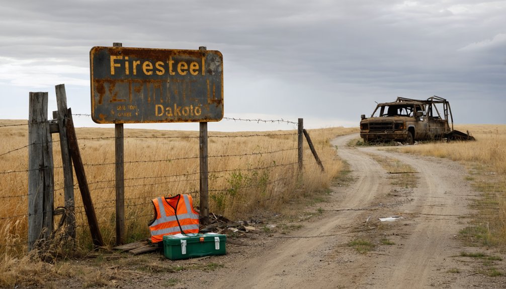
Exploring ghost towns like Firesteel can be an unforgettable adventure, but you’ll want to take a few precautions before wandering through abandoned structures and remote reservation land. Historical preservation matters here, so tread carefully and leave everything as you find it.
Exploring ghost towns is unforgettable — tread carefully, respect the history, and leave everything exactly as you find it.
Pack essential safety gear and follow these guidelines:
- Wear sturdy boots and gloves — collapsed floors and rusted metal create serious hazards inside deteriorating structures.
- Tell someone your plans — Firesteel sits in remote north-central South Dakota with limited cell service, making communication critical.
- Respect reservation boundaries — you’re traveling through Cheyenne River Indian Reservation land, so understand local rules before exploring.
Stay aware of your surroundings, carry extra water, and approach every structure with caution.
Freedom tastes sweetest when you return home safely.
Visiting Reservation Land Near Firesteel: What You Need to Know
Since Firesteel sits within the Cheyenne River Indian Reservation, you’ll need to respect tribal sovereignty and follow the Cheyenne River Sioux Tribe’s entry guidelines before you explore the area.
You should contact the tribe in advance to ask about any permits, photography restrictions, or access limitations that apply to visitors.
Staying within public-access boundaries and honoring posted signs isn’t just courteous — it’s a legal obligation on sovereign tribal land.
Tribal Land Entry Requirements
Visiting Firesteel means stepping onto the Cheyenne River Indian Reservation, and you’ll need to respect the tribal nation’s rules before you go. Land ownership here belongs to the Lakota people, and cultural preservation remains their priority.
Before exploring, keep these requirements in mind:
- Obtain a tribal permit — Contact the Cheyenne River Sioux Tribe for entry permissions covering specific areas.
- Stay on designated roads — Wandering onto private allotted lands without permission is trespassing under tribal law.
- Respect ceremonial and sacred sites — Photographing or disturbing these locations violates cultural preservation values and tribal regulations.
You’re free to explore Firesteel’s ghost town history, but that freedom carries responsibility. Honoring the tribe’s sovereignty guarantees your visit remains welcome and meaningful.
Respecting Reservation Boundaries
Respecting reservation boundaries isn’t just a legal obligation — it’s a reflection of how seriously you take the Lakota people’s sovereignty over their homeland.
The Cheyenne River Indian Reservation operates under distinct land ownership laws, meaning tribal authority governs access, conduct, and use of the land. Cultural sensitivity here isn’t optional — it’s essential.
Don’t assume public access rules apply universally. Some areas require permits, and others remain entirely off-limits to non-tribal members.
Stay on designated roads, avoid photographing people or sacred sites without explicit permission, and never remove artifacts or natural materials.
Freedom to explore comes with responsibility. Honoring these boundaries protects both you from legal consequences and the Lakota community from continued encroachment on land they’ve fought hard to preserve.
Other South Dakota Ghost Towns Worth Adding Near Firesteel
While you’re already venturing off the beaten path to Firesteel, it’s worth tacking a few more ghost towns onto your South Dakota itinerary.
Historical preservation enthusiasts and local legends hunters alike will find plenty to explore across the state.
- Etta – Tucked in the Black Hills, this ghost town sits just five minutes from Powder House Lodge, making it an easy detour.
- Ardmore – With a last recorded population of 16 in 1980, this fading community tells a quiet story of decline.
- Firesteel area backroads – The surrounding Dewey County landscape hides forgotten remnants worth discovering independently.
Each stop adds another layer to your road trip, turning a single destination into a full South Dakota ghost town adventure.
Where to Stay When Visiting Firesteel
Since Firesteel itself offers no lodging—it’s a ghost town, after all—you’ll need to plan your accommodations in the surrounding region. The nearby town of Eagle Butte serves as your best hub for local lodging, offering basic motels that put you within reasonable driving distance of the site.
If you prefer sleeping under the open South Dakota sky, camping options abound throughout the Cheyenne River area, letting you fully embrace the region’s raw, untamed character. Dispersed camping near the reservation’s open landscapes gives you flexibility and freedom to explore on your own schedule.
Whatever you choose, book ahead during summer months since options are limited. Arriving prepared means you’ll spend less time scrambling for a bed and more time chasing history.
Frequently Asked Questions
What Is the Lakota Name for Firesteel, South Dakota?
You’ll find that Čhaȟlíok’e Otȟúŋwahe is Firesteel’s Lakota name, reflecting deep Lakota heritage and cultural significance. This powerful name connects you to the land’s rich indigenous history, long before coal mining shaped the community.
What Were Firesteel’s Coordinates and Exact Elevation Above Sea Level?
You’ll find Firesteel at 45°25′29″N, 101°17′07″W, sitting at 2,352 feet elevation—a site holding deep Native American significance and historical coal mining heritage that once powered South Dakota’s capitol and colleges.
Which Specific South Dakota Colleges Used Firesteel Coal for Heating?
The records don’t name specific colleges, but Firesteel’s coal mining history lit the flames of knowledge across most South Dakota colleges. That black gold, shaped by local cultural influences, even warmed your state capitol’s halls.
How Did Firesteel’s Population of 500 Residents Decline so Rapidly?
You’ll find that Firesteel’s ghost town history reveals coal industry collapse drove its population decline. Once mining ceased, you’d have left too — there’s simply nothing keeping 500 residents when jobs, purpose, and economic opportunity completely vanish overnight.
Is Firesteel Tracked or Recorded by the U.S. Census Bureau?
You won’t find Firesteel tracked by the U.S. Census Bureau. Despite its rich historical preservation value, this ghost town tourism gem remains officially unrecorded, giving you a rare, off-the-grid freedom to explore South Dakota’s forgotten past.
References
- https://en.wikipedia.org/wiki/Firesteel
- https://www.powderhouselodge.com/black-hills-attractions/fun-attractions/ghost-towns-of-western-south-dakota/
- https://en.wikipedia.org/wiki/List_of_ghost_towns_in_South_Dakota
- https://www.youtube.com/watch?v=vukOMAHhsy8
- https://www.facebook.com/SoDakPB/posts/firesteels-mines-once-supplied-coal-to-south-dakotas-universities-and-even-the-s/10157475780678874/