Planning a ghost town road trip to Fish Springs, Utah means following the same remote trail Pony Express riders crossed in the 1860s. You’ll choose between a rugged 70-mile northern route through Dugway or a shorter southern route from Delta. Fill your tank in town, pack water, food, and a spare tire, and visit before April 15 to beat seasonal closures. Keep going to uncover every stop, detour, and hidden detail worth knowing.
Key Takeaways
- Fish Springs Wildlife Refuge is accessible via two routes: a rough 70-mile northern route through Dugway or an easier 20-mile southern route from Delta.
- Carry essential supplies including water, food, extra fuel, and a spare tire, as Fish Springs offers no public services beyond water and restrooms.
- Visit before April 15 to avoid seasonal closures lasting through August 15, with spring offering optimal wildlife viewing along the Pacific Flyway.
- The route traces the historic Pony Express Trail, passing landmarks like Simpson Springs Station, Boyd Station ruins, and Fish Springs Station remnants.
- Enhance your trip with detours to Simpson Springs and the Dugway Geode Beds, both free public-land sites offering historical and geological experiences.
Which Access Route Is Right for Your Vehicle?
Because Fish Springs sits deep in the western Utah desert, the road you choose to get there matters as much as the destination itself. Two routes serve the refuge, and each demands a different level of preparation.
From the north, Pony Express Road out of Dugway delivers roughly 70 miles of dirt and gravel, tracing historic ground but punishing unprepared vehicles with potholes and sharp rock. If you’re hauling camping gear or wildlife photography equipment, a flat tire out here isn’t a minor inconvenience.
The southern approach via Delta uses Brush Wellman and Flourspar Roads, cutting the rough stretch to just over 20 miles with generally better maintenance. For most travelers, that southern route is the smarter entry point.
What the Roads to Fish Springs Actually Look Like
If you take the northern route through Dugway and along the Pony Express Road, you’ll face roughly 70 miles of dirt and gravel that can throw potholes and sharp rocks at your tires without warning.
The southern route via Delta cuts that unpaved stretch to just over 20 miles along Brush Wellman and Flourspar Roads, and the maintenance there tends to be more reliable.
Either way, you’re driving into one of the most isolated corners of the lower 48, so the road itself is part of the story.
Northern Route Road Conditions
Once you leave Dugway behind, the northern route to Fish Springs strips away any illusion of easy travel — roughly 70 miles of dirt and gravel road stretch across a landscape that hasn’t changed much since Pony Express riders pushed through here in the 1860s.
Sharp rocks, shifting potholes, and sparse desert flora line the corridor through critical wildlife habitat. You’re trading convenience for something rawer.
Come prepared:
- Carry a spare tire — rocks here are unforgiving
- Check road conditions before departure; seasons change surfaces fast
- Top off fuel before leaving civilization
- Expect no services between Dugway and the refuge
- Allow extra drive time — speed punishes your vehicle
This route rewards patience and penalizes assumptions.
Southern Route Road Conditions
The southern route through Delta trades raw punishment for relative mercy — Brush Wellman Road and Flourspar Road deliver just over 20 miles of dirt and gravel compared to the northern corridor’s brutal 70, and the maintenance here tends to be noticeably better. You’ll still want high clearance and a spare tire; this is desert country, and the land doesn’t apologize for its terms.
Desert flora lines the roadside — sparse, stubborn, and honest — while local wildlife moves through the scrub with the indifference of creatures that were here long before the Pony Express ever cut its trail. The approach feels earned rather than punishing, giving you mental bandwidth to actually notice where you’re before the marsh finally opens up ahead.
Where to Fuel Up Before the Remote Stretch
Once you leave the pavement behind on either the Dugway or Delta approach, you won’t find a gas station until you’re back out again, so treat your last town stop as your lifeline. Stock up on water, food, and any supplies you’ll need before you hit the long dirt stretch.
Because the refuge itself has no public services beyond drinking water and a restroom at headquarters, plan your fuel stop deliberately — whether that’s Grantsville or Tooele to the north, or Delta to the south.
Also, be sure to check your spare tire before you roll out.
Last Fuel Stop Options
Knowing where to fuel up before heading into the Fish Springs stretch could be the difference between a smooth desert run and a long, hot wait on a gravel road. Once you leave Delta or Dugway, local flora shifts to sparse scrub, weather patterns turn punishing, and services disappear entirely.
Lock in your last fuel at one of these points:
- Delta, Utah – best southern-route option with full services
- Fillmore, Utah – slightly farther but reliable before heading west
- Dugway – limited access; don’t count on it
- Tooele – last solid northern stop before the long gravel stretch
- Nephi – useful if you’re routing through I-15 before cutting west
Fill the tank completely. Carry an extra supply if your rig runs heavy.
Stock Up On Supplies
Supplies run out fast in desert country, and Fish Springs sits far enough from civilization that a forgotten item becomes a real problem, not a minor inconvenience. Pack water well beyond what you think you’ll need, because desert scenery has a way of extending your day longer than planned.
Carry food, a spare tire, and basic tools before you leave the last town behind. Wildlife photography demands patience and time, and you won’t want to cut a session short because you’re rationing the last bottle of water.
Delta from the south and Dugway from the north both offer your final resupply chances. Once you turn onto the dirt road, you’re committed.
Treat this stretch like the frontier route it once was, and prepare accordingly.
Plan Before You Go
Fuel is the one supply you can’t ration your way through on a desert crossing, so fill your tank before the pavement ends. The towns of Delta from the south and Tooele from the north are your last reliable stops.
Weather patterns shift fast in the Great Basin, and local flora like saltgrass and greasewood signals just how unforgiving this terrain runs.
Before you roll out:
- Fill up completely in Delta or Tooele
- Check current road conditions for Pony Express Road or Brush Wellman Road
- Confirm seasonal closures between April 15 and August 15
- Download offline maps since cell service drops early
- Pack water, food, and a spare tire before the dirt begins
Once the asphalt ends, you’re committed.
Pack This Before You Leave Civilization Behind
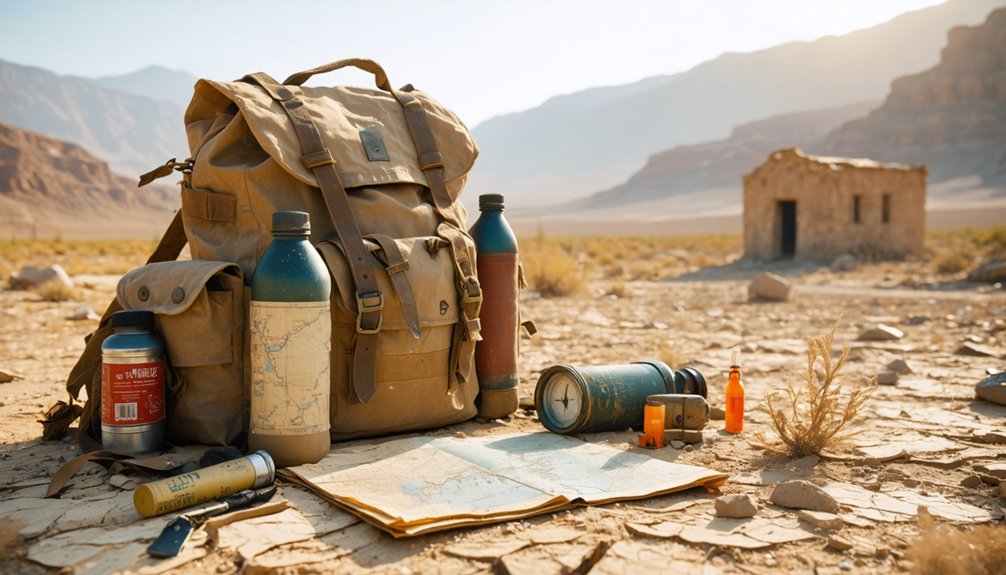
Once the pavement ends and the desert opens up around you, the nearest gas station might as well be on another planet—so treat pre-trip provisioning like the Pony Express riders once treated their saddlebags: nothing wasted, nothing forgotten. Fill your tank in Delta or Dugway, then load up on water, food, and a mounted spare tire before committing to those 40-plus miles of gravel.
Camping essentials matter even on a day trip—heat shifts fast in the Great Salt Lake Desert, so pack layers alongside your sunscreen.
For photography tips, arrive at golden hour when marsh light turns the wetlands copper against the surrounding desert ranges. Carry extra batteries, since the refuge offers no power. Pack smart, move freely, and let the remoteness work in your favor.
The Best Time of Year to Visit Fish Springs
If you’re timing your road trip to Fish Springs, spring is your window — March and April bring migratory birds flooding into the 10,000-acre marsh system along the Pacific Flyway, turning a remote desert refuge into one of Utah’s most striking wildlife spectacles.
The same desert that baked Pony Express riders into submission will do the same to you in summer, with extreme heat making the long dirt road stretches genuinely dangerous.
Plan your visit before the seasonal closures begin on April 15, when nesting bird protections restrict access to parts of the refuge.
Spring Migration Season
Spring is the season that transforms Fish Springs from a remote desert curiosity into one of the most compelling wildlife spectacles in the Great Basin. March and April deliver migratory birds by the thousands, turning 10,000 acres of desert wetlands into something you have to see to believe.
Before you arrive, stock up on supplies in Delta or Eureka — there’s no local cuisine or services once you hit the gravel. Cultural landmarks like Simpson Springs stage stop add historical depth to the drive.
Plan your visit around these spring highlights:
- Peak waterfowl migration runs March through April
- Milder temperatures make the auto tour manageable
- Nesting closures begin April 15, so time it right
- Wildlife photography opportunities peak early morning
- Roads dry out after winter, improving access
Avoiding Summer Heat
As rewarding as spring migration can be, timing your visit means more than chasing birds — it means respecting what the desert does to the unprepared. Summer temperatures at Fish Springs turn brutal fast, and the refuge’s remote location leaves no margin for error. You’re 135 miles from Salt Lake City with no gas stations, no services, and miles of exposed gravel road between you and help.
Wildlife conservation efforts close portions of the refuge from April 15 through August 15 to protect nesting birds, further limiting what you’ll access mid-summer. The desert flora that frames the wetlands also peaks earlier, making late spring the stronger visual payoff.
If summer’s your only option, go early morning, carry extra water, and treat the heat as seriously as the distance.
Birds, Wetlands, and Wildlife at Fish Springs Refuge
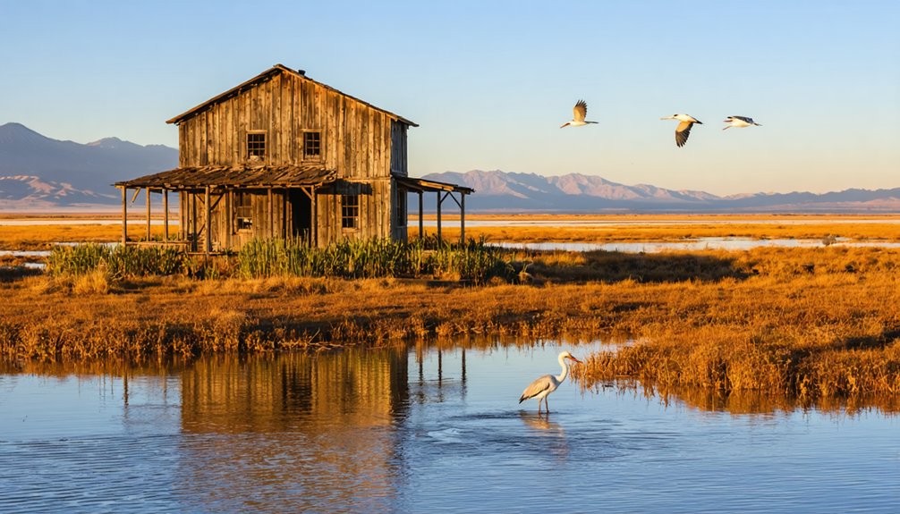
Tucked between two mountain ranges at the southern edge of the Great Salt Lake Desert, Fish Springs National Wildlife Refuge protects nearly 10,000 acres of wetlands that have drawn migratory birds along the Pacific Flyway since long before the refuge’s 1959 establishment.
Wetland ecology this deep in open desert creates a rare collision of worlds — you’ll find shorebirds, waterfowl, and raptors where most expect only silence and salt.
Plan around these highlights:
- Spring bird migration peaks in March and April
- Waterfowl hunting is permitted in designated areas and seasons
- The self-guided auto tour covers roughly 36 miles roundtrip
- Seasonal closures run April 15 through August 15 to protect nesting birds
- Wildlife photography thrives where marsh meets desert horizon
How to Drive the Fish Springs Auto Tour Route
Once you’ve made it through the long desert haul to Fish Springs, the refuge’s self-guided auto tour gives the drive a clear purpose. The route runs roughly 36 miles roundtrip, looping you through distinct wildlife habitats that shift between open marsh, shallow impoundments, and raw desert scenery framed by distant mountain ranges.
You’ll move at your own pace, stopping where the birds are thick or the light hits the water just right. Interpretive signs along the way connect the landscape to its Pony Express past, adding historical weight to an already striking setting.
Some sections close between April 15 and August 15 to protect nesting birds, so check current conditions before you go. Headquarters has drinking water and a restroom available around the clock.
Pony Express History and Ghost Towns Along the Way
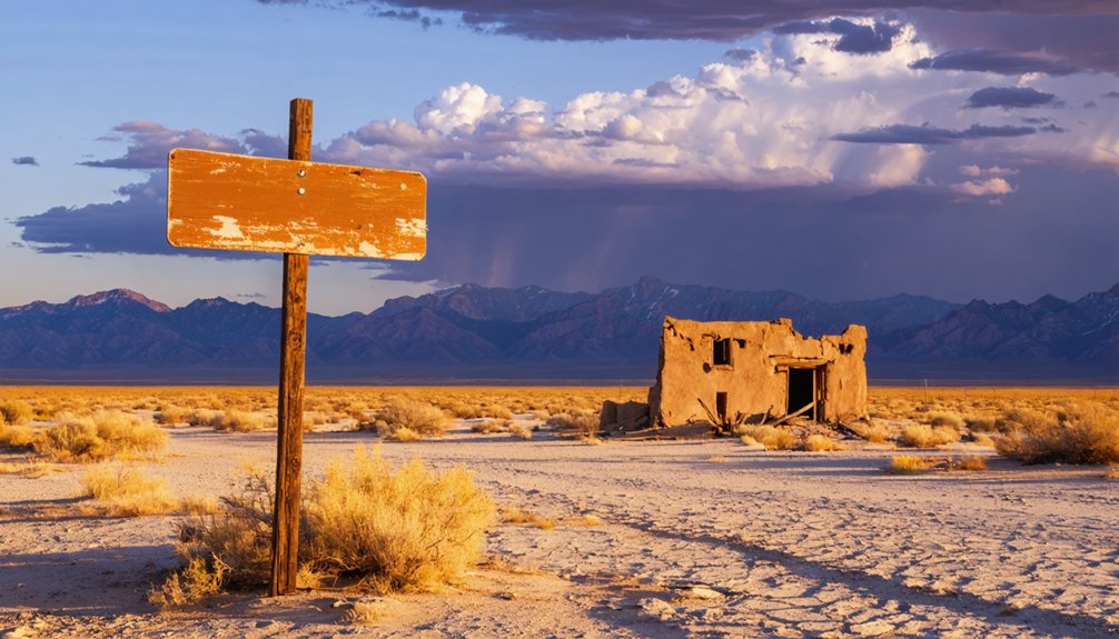
The road to Fish Springs doesn’t just cut through empty desert—it traces one of the most storied corridors in American frontier history. The Pony Express Trail ran directly through this basin, and the ghost towns and station ruins scattered along the route still carry that restless pioneer energy.
Watch for these landmarks along the way:
- Simpson Springs Station – one of the best-preserved Pony Express stops in Utah
- Boyd Station ruins – a crumbling reminder of frontier isolation
- Dugway Station site – marked along the historic trail corridor
- Fish Springs Station – once a critical water stop for riders
- Desert ruins and unmarked stone foundations – ghost towns that time nearly erased
You’re not just driving through desert. You’re riding the same line those horsemen pushed across in 1860.
Geode Beds, Simpson Springs, and Side Trips Nearby
Few remote road trips reward detours the way this one does, and the stretch around Fish Springs gives you two strong reasons to slow down before you ever reach the refuge gate.
Simpson Springs history runs deep here. Pony Express riders watered their horses at this very stop, and the reconstructed stone station still stands as a quiet reminder of how desperately water mattered in this desert.
A few miles away, the Dugway Geode Beds offer something entirely different. Geode exploration here means cracking open volcanic rock yourself and finding crystal-lined hollow cores inside. You won’t find that experience packaged or curated.
Both stops sit on public land, cost nothing, and break up the long gravel haul in ways that feel earned rather than accidental. Plan extra time.
Why Fish Springs Belongs on Your Desert Road Trip
What makes Fish Springs so disorienting is the contrast: you’ve just crossed 40-plus miles of alkaline flats and sharp gravel, and then 10,000 acres of wetland opens up in front of you, ringed by desert ranges with no town in sight.
Desert flora borders the marsh edges, and wildlife habitats shift from arid scrub to dense reed beds within a short drive. This refuge earns its place on any serious desert road trip.
- Nearly 18,000 acres of protected land in one of the most remote corners of the lower 48
- Migratory birds using the Pacific Flyway stop here in enormous numbers
- Pony Express history runs directly through the surrounding corridor
- A 36-mile auto tour route puts you deep into the landscape
- No services mean you arrive prepared or you don’t arrive
Frequently Asked Questions
Is a Permit Required to Visit Fish Springs National Wildlife Refuge?
You don’t need a permit to visit! The refuge welcomes you sunrise to sunset, year-round. Just respect visitor guidelines and wildlife conservation closures from April 15–August 15, honoring this historic desert sanctuary’s nesting birds.
Are Pets Allowed on the Auto Tour Route at Fish Springs?
The knowledge base doesn’t confirm pet policies. Before you roll down that dusty Pony Express corridor with your dog, verify leash regulations and pet safety rules directly with Fish Springs refuge headquarters to protect both wildlife and your companion.
Is There Cell Phone Service on the Roads Leading to Fish Springs?
Don’t count on cell coverage out here. Signal strength fades fast across these ancient desert roads, just as silence swallowed Pony Express riders before you. Carry paper maps, trust your instincts, and embrace the freedom of true disconnection.
Can You Camp Overnight at Fish Springs National Wildlife Refuge?
Camping regulations don’t allow overnight stays at Fish Springs. You’ll need to plan your wildlife viewing as a day trip, arriving at sunrise and departing by sunset, keeping your freedom-loving adventure within the refuge’s daily open hours.
What County and Jurisdiction Manages Fish Springs National Wildlife Refuge?
Fish Springs falls under Juab County, Utah, with federal oversight managing the refuge. You’ll find wildlife observation and scenic photography freedoms intact, honoring the same wild, untamed desert spirit the Pony Express riders once crossed.
References
- https://www.fws.gov/refuge/fish-springs
- https://en.wikipedia.org/wiki/Fish_Springs_National_Wildlife_Refuge
- https://www.fws.gov/sites/default/files/documents/2025-09/fish-springs-national-wildlife-refuge-general-brochure-2025.pdf
- https://www.utahsadventurefamily.com/fish-springs-national-wildlife-refuge/
- https://www.govinfo.gov/content/pkg/GOVPUB-I49-PURL-gpo81768/pdf/GOVPUB-I49-PURL-gpo81768.pdf
- https://bearriverblogger.com/visiting-fish-springs-national-wildlife-refuge/
- https://stateparks.com/fish_springs_national_wildlife_refuge_in_utah.html
- https://www.onthewingphotography.com/wings/favorite-locations/a-journey-to-fish-springs-national-wildlife-refuge-an-oasis-in-the-west-desert-of-utah/
- https://npshistory.com/brochures/nwr/fish-springs-1994.pdf
- https://www.tripadvisor.com/Attraction_Review-g56967-d140570-Reviews-Fish_Springs_National_Wildlife_Refuge-Dugway_Utah.html