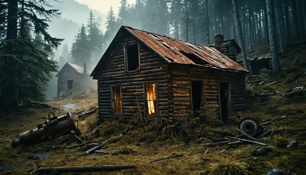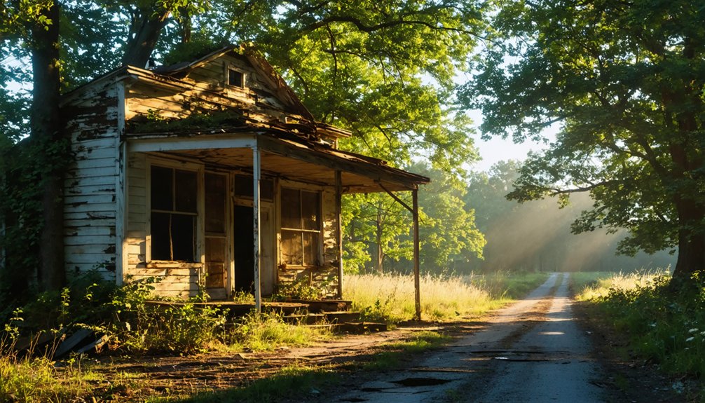
Planning a ghost town road trip to Frankville, Maryland means heading deep into Garrett County’s mountains, where gravel roads replace pavement and GPS signals fade fast. This forgotten settlement once thrived on timber and railroad commerce before resource depletion and the Great Depression erased it from the map. Today, you’ll find scattered remnants, dense woodland, and no official signage to guide you. Bring offline maps, a high-clearance vehicle, and plenty of patience — there’s far more to this story than meets the eye.
Key Takeaways
- Reach Frankville via I-68 West through Cumberland, Maryland, then navigate local rural routes, preparing for narrow, winding roads with inconsistent GPS signals.
- Bring offline maps or paper backups, as cell service drops unpredictably and roads may shift unexpectedly from paved to gravel.
- A high-clearance vehicle is advantageous, as terrain is rough with unmarked turnoffs, sharp curves, and no designated parking areas.
- Frankville has no official markers or signage, so use old maps to independently piece together the site’s history.
- Extend your trip by visiting nearby ghost towns like Lonaconing, Bloomington, and Swanton, confirming road access and carrying ample supplies beforehand.
What Is Frankville and Why Did It Disappear?
Tucked into the mountainous terrain of Garrett County, Maryland, Frankville once operated as a working settlement with sawmills, a post office, and a railroad station — all the hallmarks of a town built to last. By 1856, it supported 17 residences and active logging history that fed regional timber demand.
A Baltimore and Ohio Railroad station later connected it to broader commerce. But like many Appalachian settlements, Frankville couldn’t outlast the forces working against it. Resource depletion, industrial decline, and economic pressures from the Great Depression gradually drained the population.
Mining remnants and faded infrastructure tell the story of what’s left behind. Residents were still recorded in 1912, meaning the town didn’t vanish overnight — it simply lost its reason to exist and quietly faded from the map.
What You Can’t Confirm Until You’re There
Knowing Frankville’s history gets you only so far — the rest you’ll figure out when you arrive. Historical preservation and modern accessibility both remain unverified until you’re standing there yourself.
Before you go, accept that you’ll need to assess these four things on the ground:
- Physical remains — what structures, foundations, or ruins actually survive
- Road and trail conditions — whether mountain roads allow safe vehicle or foot access
- Land ownership — whether the site welcomes visitors or restricts entry
- On-site interpretation — whether any markers, signage, or information exists
Pack a paper map, wear sturdy boots, and bring curiosity. Frankville rewards the self-directed traveler who doesn’t need a visitor center to appreciate what’s left behind.
Frankville’s Sawmills, Rail Station, and Industrial Collapse
When you trace Frankville’s origins, you’ll find a community built on timber, with two sawmills driving its early economy by 1856.
The Baltimore and Ohio Railroad station that followed shifted the town into a transportation hub, connecting its resources to regional markets.
But as the timber depleted and rail priorities shifted, Frankville couldn’t survive the industrial collapse that swallowed so many Appalachian communities like it.
Timber Industry Origins
By the mid-1800s, Frankville’s economy was running on timber. Two sawmills powered the settlement’s early urban development, shaping the community’s layout and drawing workers into the mountains. That industrial backbone built something real — 17 residences by 1856, a post office, and a road company incorporated in 1853.
Understanding this timeline matters for cultural preservation efforts today. Here’s what defined Frankville’s timber era:
- Sawmills converted Appalachian forests into marketable lumber
- Roads enabled transport of raw materials out of the mountains
- Workers settled permanently, forming a functioning community
- Infrastructure attracted further investment and residents
You’re looking at a town built entirely around resource extraction. When the timber thinned, the economic logic collapsed. What remained was silence, scattered foundations, and a story worth chasing.
Railroad Station Legacy
The sawmills didn’t just process lumber — they made Frankville worth connecting to the outside world. The Baltimore and Ohio Railroad eventually ran a station here, threading Frankville into a regional network that carried timber, goods, and people across Garrett County’s mountain terrain.
That rail connection briefly gave the town a pulse beyond its logging roots. But when resources thinned and industry shifted, the station lost its purpose. Frankville emptied gradually, its residents recorded as late as 1912 before silence took hold.
Today, that railroad legacy anchors any serious conversation about historic preservation in western Maryland. You’re visiting a place where community revitalization never arrived — and that absence tells its own story.
Come prepared to read the landscape, because the infrastructure did the talking long before the town went quiet.
Industrial Decline Factors
Frankville’s collapse didn’t happen overnight — resource depletion, shifting rail priorities, and the broader economic pressures of the late 19th century dismantled it piece by piece. When you trace what unraveled here, four factors stand out:
- Sawmills exhausted local timber supplies, killing the primary industry
- Railroad consolidation reduced Frankville’s strategic value as a stop
- Population decline accelerated as workers chased opportunities elsewhere
- The Great Depression delivered the final blow to any remaining commerce
What’s left today lives mostly in local legends and fragmented historical records. Preservation efforts in Garrett County haven’t prioritized Frankville specifically, meaning you’re likely visiting a site where nature has reclaimed most evidence.
That rawness is exactly what makes it worth the drive — unfiltered, unhurried, and entirely yours to interpret.
The 1876 Train Death That Defines Frankville’s History
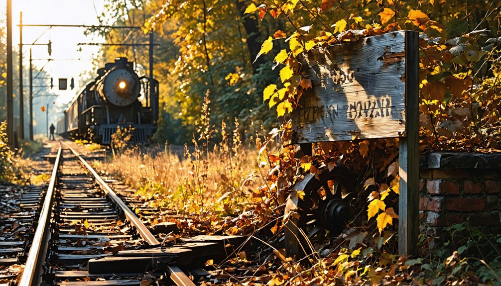
Among Frankville’s historical footnotes, none carries more weight than the death of Francis Thomas on January 22, 1876. Thomas, who served as Maryland’s governor from 1842 to 1845, was struck by a Baltimore and Ohio Railroad train while walking near the tracks.
Former Maryland Governor Francis Thomas met his end near Frankville’s tracks, struck by a Baltimore and Ohio Railroad train in 1876.
A sharp curve in the line blocked the engineer’s sightline, making the collision unavoidable.
This tragedy anchors Frankville in historical preservation efforts, giving researchers and road-trippers a compelling reason to dig deeper into community stories tied to this forgotten place. You’re not just visiting an abandoned settlement when you come here — you’re standing near the site where a former governor lost his life.
That kind of history demands attention and rewards anyone willing to seek it out independently.
How To Get To Frankville, Maryland
To reach Frankville, you’ll first need to make your way to Garrett County, Maryland’s westernmost county. Tucked deep into the Appalachian Mountains near the Pennsylvania and West Virginia borders.
Once you’re in the region, expect narrow, winding rural roads that demand careful navigation and a reliable map, since remote mountain terrain can make GPS signals inconsistent.
Plan your route in advance, confirm road conditions before you leave, and give yourself extra travel time to handle the unexpected curves that come with driving western Maryland’s highlands.
Reaching Garrett County
Nestled in the Appalachian highlands of western Maryland, Garrett County sits roughly 180 miles from Baltimore and about 160 miles from Washington, D.C., making it a genuine commitment for most Mid-Atlantic travelers. The drive rewards you with mountain scenery and local folklore embedded in every hollow and ridge line. Plan your approach carefully:
- Take I-68 West through Cumberland for the most direct mountain corridor
- Exit toward Oakland or Accident depending on your starting coordinates
- Monitor road conditions seasonally, as elevation affects weather dramatically
- Download offline maps before departure since cell service drops unpredictably
Garrett County’s rugged terrain carries visible environmental impact from its industrial past, shaping the landscape you’ll navigate. Embrace the remoteness — it’s exactly what makes reaching Frankville feel like genuine exploration rather than tourism.
Navigating Rural Mountain Roads
Once you’ve cleared Garrett County’s main corridors, the real navigation challenge begins. Mountain roads narrow quickly, and road signs become sparse as you push deeper into the western Maryland highlands. You’ll want a downloaded offline map or a paper backup because cell service drops without warning out here.
Watch for unmarked turnoffs and sharp curves — the same terrain that shaped local legends about the railroad’s dangers and Francis Thomas’s fatal 1876 accident. Roads leading toward Frankville’s abandoned buildings can shift from paved to gravel unexpectedly, so a high-clearance vehicle gives you a meaningful advantage.
Drive slowly, read the landscape, and stop when something catches your eye. Rural mountain roads reward patience, and rushing through them means missing the details that make this kind of trip worth taking.
No Markers, No Signs: What Frankville Actually Looks Like Now
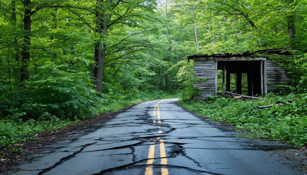
Unlike the ghost towns you’ll find on curated heritage trails with bronze plaques and interpretive signage, Frankville offers none of that. You’re orienting yourself by instinct, old maps, and local legends passed between history buffs who’ve done the research themselves.
Expect to encounter:
- Unmarked rural roads cutting through dense Appalachian woodland
- Scattered structural remnants with no official identification
- No parking areas, visitor kiosks, or maintained access points
- Silence where a railroad station and 17 residences once stood
Urban legends about the 1876 train death of former Governor Francis Thomas still circulate locally, adding an eerie layer to the landscape. Frankville doesn’t perform history for you. You piece it together yourself, which is exactly what makes this destination compelling for independent-minded explorers.
Ghost Towns Near Frankville Worth Adding to the Drive
Garrett County and the surrounding western Maryland region hold enough ghost towns to build an entire week-long itinerary around Frankville. Explore Bloomington, where railroad history and local legends about vanished communities give you rich context for understanding regional decline.
Drive through Lonaconing, a former coal and iron hub with strong historical preservation efforts and crumbling structures that still speak to industrial ambition. Swanton and Vindex offer quieter stops where you’ll find scattered remnants and stories passed down through generations.
Each location adds a distinct layer to your understanding of why western Maryland’s Appalachian towns rose fast and fell hard. Map your route before leaving, confirm road access conditions, and carry enough supplies to move freely between sites without depending on nearby services.
Frequently Asked Questions
Is a Permit Required to Visit Ghost Towns in Garrett County?
Like a free spirit on open roads, you’ll find no confirmed permit requirements, but check visitor regulations and historical preservation rules locally, as land ownership and access conditions in Garrett County’s ghost towns aren’t fully established.
What Is the Best Time of Year to Visit Frankville?
Late summer or early fall offers you the best seasonal weather for exploring Frankville — you’ll dodge tourist crowds, enjoy cooler mountain air, and soak in breathtaking foliage while freely wandering this hauntingly beautiful Garrett County ghost town.
Are There Lodging Options Near Frankville for Overnight Stays?
Garrett County’s your basecamp constellation — nearby Oakland and McHenry offer you cozy inns surrounded by historic architecture and local dining, letting you roam freely each day before retreating to well-earned comfort after exploring Frankville’s haunting remnants.
Can Frankville Be Combined With a Deep Creek Lake Visit?
You can absolutely combine both destinations! Explore Frankville’s historical preservation sites, then head to Deep Creek Lake for scenic hiking and waterfront freedom. It’s an effortlessly rewarding Garrett County adventure you won’t forget.
What Photography Equipment Is Recommended for Ghost Town Exploration?
Over 80% of ghost town photos lose impact without proper gear! For capturing Frankville’s historical ruins, you’ll want a wide-angle lens, tripod, and polarizing filter. Your photography gear should handle low-light conditions beautifully.
References
- https://en.wikipedia.org/wiki/Frankville
- https://www.tripadvisor.com/Attraction_Review-g41131-d10035193-Reviews-Daniels_Ghost_Town-Ellicott_City_Maryland.html
- https://www.youtube.com/watch?v=FoTBXomVN4k
- https://midatlanticdaytrips.com/2015/10/visiting-marylands-ghost-town-daniels/
- https://wikihandbk.com/wiki/Английская_Википедия:Frankville
- https://en.wikipedia.org/wiki/List_of_ghost_towns_in_Maryland
- https://en.wikipedia.org/wiki/Frenchtown_(ghost_town)
- https://www.youtube.com/watch?v=FOnzijSr_es
- https://en.wikipedia-on-ipfs.org/wiki/List_of_ghost_towns_in_Maryland