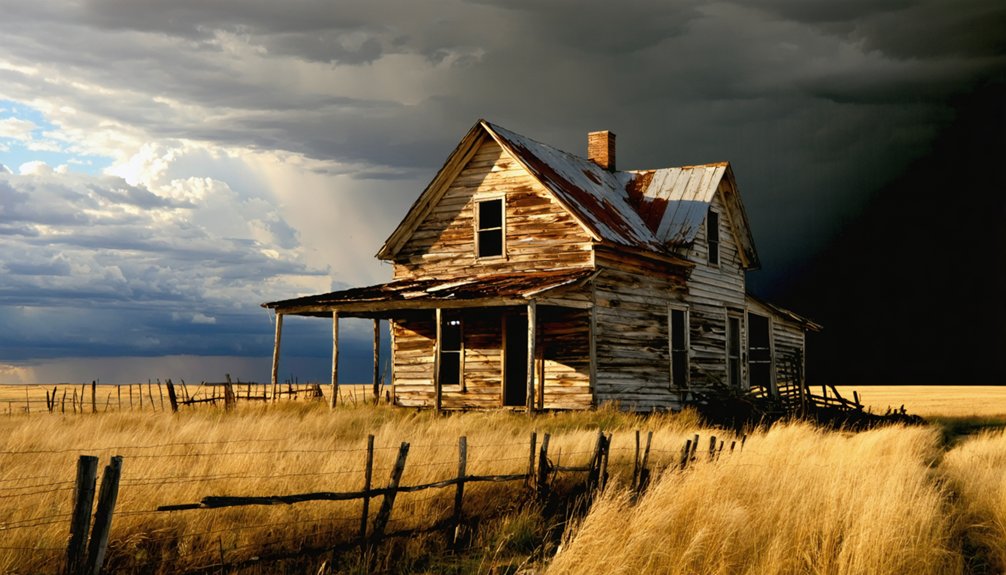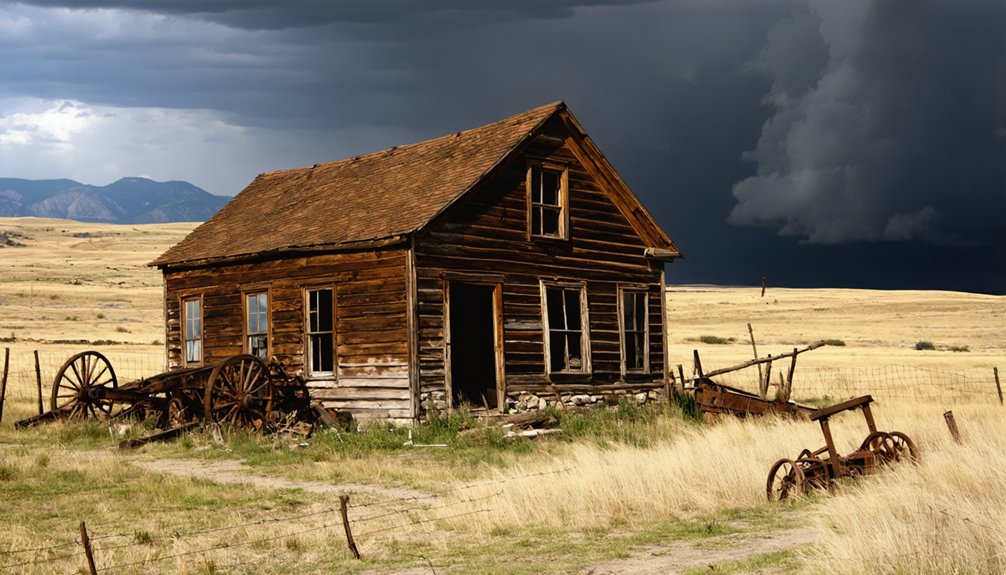
Hornblende Camp sits in Pennington County’s Black Hills, a ghost town that boomed from 1899 to 1915 before ore depletion left it silent. You won’t find standing structures — just foundations, tailings, and scarred hillsides where miners once chased their fortunes. Reach it via Highway 44, US-385, or US-16, then navigate rough terrain beyond the pavement. Pack sturdy boots, offline GPS, and curiosity, because everything you need to make this trip worthwhile is just ahead.
Key Takeaways
- Hornblende Camp is located in Pennington County, South Dakota, accessible via Highway 44, US-385, or US-16 through the Black Hills region.
- The site is a barren ghost town with no standing structures, featuring only foundations, tailings, rusted equipment, and scarred hillsides.
- Confirm land ownership using onX or Avenza maps, and respect private property and Forest Service boundaries, which may lack signage.
- Pack sturdy boots, topographic maps, offline GPS, water, a camera, and printed land-status information before navigating rough terrain.
- Combine your visit with nearby ghost towns Rochford and Mystic for a fuller Black Hills mining history experience along Highway 44.
What Was Hornblende Camp?
When the Black Hills were still buzzing with mineral ambition, Hornblende Camp staked its claim in Pennington County, South Dakota, operating from 1899 to 1915 before disappearing almost entirely from the landscape.
You’re looking at a classic boom-and-decline story, where mining technology drove men into rugged terrain chasing profitable ore, then abandoned them just as fast once extraction waned.
Mining technology lured men into brutal terrain chasing ore, then discarded them the moment profits dried up.
The camp even carries an alternate spelling — “Horneblende” — worth noting if you’re digging through historical archives.
Ghost town preservation here means almost nothing survived; the site sits barren today, stripped of standing structures.
But that raw emptiness tells its own story.
You’re not visiting a polished tourist attraction — you’re tracing the faint outline of a community that burned bright and vanished on its own terms.
How Hornblende Camp’s Boom-and-Bust Cycle Shaped the Black Hills
When miners rushed into the Black Hills in the late 1890s, Hornblende Camp sprang up fast, driven by the promise of mineral wealth and the restless energy of prospectors willing to stake everything on uncertain ground.
By 1915, the ore had played out, the workers had scattered, and the camp’s brief arc from settlement to silence mirrored dozens of similar collapses across the region.
You’re not just visiting an abandoned site when you come here — you’re reading the Black Hills’ broader story of extraction, ambition, and inevitable decline written directly into the land.
Mining Rush Begins
The Black Hills didn’t surrender their wealth quietly. Miners flooded Pennington County around 1899, drawn by mineral deposits that promised fortune beneath the rugged terrain. They brought with them aggressive mining techniques — drilling, blasting, and hauling ore through difficult mountain corridors — transforming raw wilderness into a working camp almost overnight.
Hornblende Camp emerged from that urgency, a settlement built on ambition rather than permanence. You can still trace that energy when you study the region’s landscape today.
Ghost town preservation efforts remind us that these camps weren’t accidents — they were deliberate, calculated gambles. Every shaft sunk and foundation poured reflected genuine human determination.
Understanding that drive makes your road trip through the Black Hills far more than scenic. It becomes a reckoning with real history.
Camp’s Rapid Decline
By 1915, Hornblende Camp had gone quiet. The mining techniques that once drew prospectors into these hills simply couldn’t sustain the operation long enough to build anything lasting. When the ore played out, people left fast — no gradual fade, just an abrupt departure that left foundations exposed to wind and snow.
That boom-and-bust cycle repeated itself across hundreds of Black Hills camps, and Hornblende was no exception. Today, the site sits barren, classified as a ghost town with little standing structure remaining.
Ghost town preservation here means something raw — not restored buildings or interpretive signs, but scattered remnants reclaimed by the landscape.
You’re not visiting a museum. You’re standing where a brief, ambitious chapter of western South Dakota history burned hard and disappeared almost without a trace.
Black Hills Legacy
Hornblende Camp didn’t vanish in isolation — it vanished alongside hundreds of others, and that collective disappearance left a permanent mark on the Black Hills landscape. You’re traveling through terrain shaped by ambition, extraction, and abandonment.
The environmental impact of that era lingers in tailings, scarred hillsides, and altered drainages that you’ll notice if you look closely enough. Cultural preservation efforts across the region work to document what words and maps can still recover before the land reclaims everything else.
When you trace Hornblende Camp‘s short arc from 1899 to 1915, you’re not just visiting one forgotten site — you’re reading the broader story of a region built fast, stripped hard, and left to quietly decay. That story still shapes every mile you drive through these hills.
What the 1899–1915 Date Range Tells Us About the Site
When you look at Hornblende Camp’s documented lifespan of 1899–1915, you’re reading a compressed story of ambition and abandonment packed into just sixteen years.
That narrow window marks a classic Black Hills boom cycle, where a mineral discovery could ignite a camp almost overnight and exhaust it just as fast.
The rapid decline signals embedded in that timeline tell you the ore didn’t last, the capital moved on, and the land swallowed what was left.
A Brief Boom Cycle
The dates attached to Hornblende Camp — 1899 to 1915 — tell you almost everything you need to know about its story. Sixteen years of mining technology, raw ambition, and rough-hewn town architecture compressed into a single boom-and-bust cycle. The hills gave something up, people rushed in, and then the ore thinned out.
Picture what those years looked like on the ground:
- Pickaxes striking fresh rock at dawn
- Timber-framed structures rising fast against pine-covered slopes
- Ore carts rolling along muddy tracks toward makeshift processing areas
- Families and fortune-seekers crowding a camp that wouldn’t last
- Empty foundations left behind when the last wagon rolled out
That cycle defines hundreds of Black Hills camps. Hornblende just happened to leave behind a name worth chasing.
Rapid Decline Signals
Sixteen years sounds short until you measure it against the ambitions that built a camp from nothing. Hornblende Camp’s 1899–1915 date range tells you everything: mineral promise pulled people in, extraction consumed what was available, and the camp emptied before a second generation could settle.
That compressed timeline left almost no foundation for ghost town preservation. You won’t find a main street frozen in amber here. What you’ll encounter instead are mining relics scattered across a barren landscape — the kind of silence that confirms the boom ended hard and fast.
When you trace that arc on a map, Hornblende Camp stops being a footnote and becomes a clear example of how quickly the Black Hills chewed through its own settlements and moved on.
Mining Era Timeline
Dates don’t lie, and 1899–1915 puts Hornblende Camp squarely inside the Black Hills’ second mining wave — not the frenzied Deadwood gold rush of the 1870s, but the quieter, harder scramble for harder rock minerals that followed once the placer ground played out.
Mining technology of that era meant drills, stamp mills, and dynamite — tools that carved deep rather than panned wide.
Ghost town preservation here is nearly nonexistent, which makes the timeline your primary artifact.
- Stamp mill echoes still haunt the surrounding ridgelines
- Sixteen years of pick strikes compressed into silence
- Tailings piles marking where ambition met granite
- Faded survey lines cutting through second-growth pine
- A name etched in county records, nowhere else
That window tells you everything about what you’ll find — and won’t.
What’s Left at Hornblende Camp Today?
What you’ll find at Hornblende Camp today is mostly silence and open ground. The site carries a barren classification, meaning the settlement fabric has largely vanished. Don’t expect standing structures or a preserved main street.
What remains belongs to the earth now — foundations swallowed by grass, scattered mining artifacts half-forgotten beneath decades of weather, and the quiet weight of ghost town legends that linger where working men once carved a living from Black Hills rock.
You’re walking into a landscape, not a museum. That rawness is exactly the draw. The absence tells the story as clearly as any preserved building could.
Come with sharp eyes, reasonable expectations, and a genuine curiosity about what a mining camp looks like when history finally finishes reclaiming it.
How to Find Hornblende Camp in Pennington County

Hornblende Camp sits inside Pennington County, South Dakota, where the Black Hills highway network puts it within reach of Rapid City and the surrounding corridor of historic mining country. Use Highway 44, US-385, or US-16 as your main corridors, then follow routes connecting to nearby historic settlements. Respect land boundaries, since preservation efforts depend on visitors treating these fragile traces responsibly.
- Dust rising off unpaved roads leading toward abandoned mine country
- Scattered tailings catching afternoon light across open hillsides
- Faded foundations half-hidden beneath decades of encroaching brush
- Rusted equipment frames standing silent against a wide Dakota sky
- Distant ridge lines marking the same terrain prospectors crossed in 1899
The cultural significance of this landscape rewards those willing to navigate carefully and look closely.
Which Highways Get You Closest to the Site
To reach Hornblende Camp’s corner of Pennington County, you’ll want to orient your route around the Black Hills’ main highway arteries — Highway 44, US-385, and US-16 form the backbone of any serious ghost-town itinerary in this region.
These corridors connect the historic mining zones that once fed camps like Hornblende with supplies, workers, and ambition between 1899 and 1915.
From there, you’re likely trading pavement for rougher terrain, so plan your final approach with a detailed map and a full tank.
Key Access Highways
Because Hornblende Camp sits within Pennington County’s sprawling Black Hills terrain, you’ll want to anchor your approach around a handful of key corridors that connect the region’s historic mining landscape. Settlement patterns from the late 1800s followed ore deposits, and the roads that replaced those trails now cut through the same rugged country.
- Highway 44 winds west from Rapid City through pine-covered ridges.
- US-385 runs the Black Hills spine past abandoned shafts where mining technology once hummed.
- US-16 connects Keystone and Custer through canyon switchbacks.
- I-90 delivers you to the region’s northern edge fast.
- SD-79 pushes south through open grassland before the hills rise.
Choose your corridor, load your maps offline, and follow the pavement toward disappeared communities.
Nearest Highway Corridors
Once you’ve locked in your Black Hills corridor, narrowing toward Pennington County means leaning on US-385 and Highway 44 as your closest working approaches to Hornblende Camp’s former ground. These routes cut through terrain where local legends still echo the frantic energy of the 1899 rush.
Miners hauled early mining technology through these same corridors, chasing ore seams that promised quick fortune and delivered short-lived camps instead.
From US-385, you can thread southward, connecting with Highway 44 eastward depending on your starting point. Neither road delivers you to a marked trailhead or preserved district.
You’re steering toward a barren site, so treat these corridors as your final frame of reference before the pavement thins and the Black Hills reclaim the story.
What to Know About Land Access Before You Visit Hornblende Camp
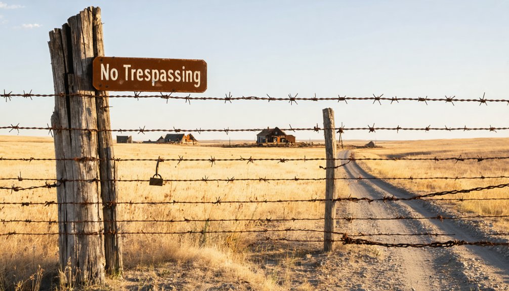
Before you load up the truck and chase down Hornblende Camp’s faded footprint, you’ll want to nail down one critical detail: who owns the land you’re standing on. Local land regulations and private property boundaries carve up the Black Hills in ways that aren’t always obvious on a standard map.
- Fence lines may cut directly across what was once the camp’s active core.
- Forest Service boundaries shift without posted signage in remote corridors.
- Some remnants are visible from the road but completely off-limits beyond the shoulder.
- Mine shafts and deteriorating foundations carry serious hazard risks.
- Land ownership databases like onX or Avenza help clarify access before you leave pavement.
Check current status before arrival. Respecting boundaries keeps this kind of raw, unpolished history accessible for every traveler who follows.
Other Pennington County Ghost Towns Worth Adding to the Same Drive
Pennington County holds far more ghost towns than most road-trippers ever chase down, and pairing Hornblende Camp with nearby sites like Rochford and Mystic turns a single-site excursion into a fuller picture of how the Black Hills mining era actually unfolded—boomtown by boomtown, abandonment by abandonment.
Each stop carries its own local legends, its own particular silence, and its own rewards for ghost town photography. Rochford still shows structural remnants worth framing. Mystic offers layered terrain that rewards patient explorers.
String these sites along Highway 44 or US-385, move deliberately between them, and you’ll cover ground that most travelers skip entirely. The freedom here isn’t just geographical—it’s historical. You’re reading a landscape that refuses to stay buried.
What to Bring for a Barren Mining Site Visit in the Black Hills

Barren sites like Hornblende Camp don’t offer visitor centers, parking lots, or interpretive signs—you’re arriving at a landscape that’s quietly swallowed most of what once stood there, and your kit should reflect that reality. Preservation challenges mean unstable ground, unmarked hazards, and zero infrastructure greet you instead. Pack deliberately, because historical anecdotes only come alive when you’re present long enough to absorb them.
Pack deliberately—infrastructure won’t save you where history has already been swallowed by the landscape.
- Sturdy boots with ankle support for uneven, overgrown terrain
- Topographic map and downloaded offline GPS route before losing signal
- Water supply exceeding your estimated needs—services vanish beyond highway corridors
- Camera or field notebook for documenting foundations, tailings, and subtle remnants
- Printed land-status information confirming public access before stepping off the road
How to Find Historical Records on Hornblende Camp Before You Go
Digging into Hornblende Camp’s paper trail before you leave home transforms a speculative drive into a purposeful expedition. Start with historical maps from the USGS archives, where late 19th and early 20th-century topographic surveys often pinpoint mining camps with surprising precision.
Cross-reference those against archival documents held by the South Dakota State Historical Society, which catalogs defunct settlements across Pennington County. Search under both spellings — “Hornblende” and “Horneblende” — since the alternate version appears in certain records.
County land records can reveal claim boundaries and ownership histories from the 1899–1915 operational window. Online digitization projects have made many of these sources accessible before you ever pack the truck.
Arriving informed means you’ll read the landscape, not just wander it.
Frequently Asked Questions
Is Hornblende Camp Suitable for Children or Young Travelers to Visit?
You can bring young travelers, but it’s not packed with family friendly activities. The barren site demands caution near hazards. Treat historical preservation seriously, respect boundaries, and you’ll spark adventurous curiosity in kids exploring South Dakota’s raw mining past.
What Time of Year Offers the Best Weather for Visiting Hornblende Camp?
Late spring through early fall offers the best seasonal climate for your Hornblende Camp adventure. You’ll want clear skies and dry roads when chasing history. Keep weather considerations in mind — South Dakota summers reward bold, freedom-seeking explorers perfectly.
Are There Any Guided Ghost Town Tours That Include Hornblende Camp?
Over 600 Black Hills ghost towns exist, yet few tours cover Hornblende Camp specifically. You’ll likely craft your own adventure, chasing local legends and historical preservation clues independently — that freedom makes the discovery far more rewarding.
Can Drone Photography Be Used Legally at Hornblende Camp’s Location?
You’ll need to check drone regulations and photography permits before flying over Hornblende Camp, since land status varies. Respect boundaries, honor history, and you’ll capture this vanished 1899 mining world responsibly.
How Does Hornblende Camp Compare to More Famous South Dakota Ghost Towns?
Hornblende Camp’s raw, barren landscape contrasts sharply with Deadwood’s polished historical preservation. You’ll find no tourist shops here — just authentic mining history stripped to its bones, demanding your adventurous spirit to uncover what freedom truly looks like.
References
- https://en.wikipedia.org/wiki/List_of_ghost_towns_in_South_Dakota
- https://www.pbs.org/video/galena-the-ghost-town-that-refuses-to-die-ehw4x2/
- https://www.sdpb.org/rural-life-and-history/2023-08-21/some-black-hills-ghost-towns-and-their-origins
- https://www.facebook.com/SoDakPB/videos/is-galena-a-ghost-town/783485174742106/
- https://www.powderhouselodge.com/black-hills-attractions/fun-attractions/ghost-towns-of-western-south-dakota/
- https://www.sdhspress.com/journal/south-dakota-history-2-2/some-black-hills-ghost-towns-and-their-origins/vol-02-no-2-some-black-hills-ghost-towns-and-their-origins.pdf
- https://kids.kiddle.co/List_of_ghost_towns_in_South_Dakota
- https://www.youtube.com/watch?v=caok4lXv4y0
- https://www.legendsofamerica.com/south-dakota-ghost-towns/