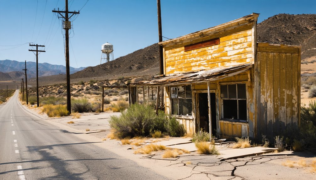
Lexington, California isn’t your typical ghost town—it’s underwater. Since 1952, the James J. Lenihan Dam submerged this historic mill town beneath Lexington Reservoir, but drought years pull the water back to expose brick foundations, concrete steps, and old road alignments. Your best window is late summer, when levels naturally drop. Visit from Los Gatos via Highway 17 South for easy access. There’s far more to this sunken town’s story than meets the eye.
Key Takeaways
- Lexington Ghost Town lies submerged beneath Lexington Reservoir, with ruins best visible during late summer drought cycles or post-drawdown periods.
- Access the reservoir from Los Gatos via Highway 17 South, where a paved parking area provides clear views of submerged ruins.
- Bring binoculars and zoom cameras to identify exposed brick foundations, concrete steps, rock walls, fence posts, and tree stumps.
- Visit during morning hours in drought years to maximize visibility of submerged road outlines and structural foundations.
- Highway 17 connects multiple ghost town sites, including Lexington and Alma, making it ideal for a regional ghost town road trip.
What’s Left of Lexington Ghost Town Today?
What remains of Lexington today sits mostly underwater, sealed beneath Lexington Reservoir since 1952. You won’t find a walkable main street or preserved historical artifacts behind a fence. Instead, the town resurfaces only when drought years or late-summer drawdowns drop the water level enough to expose brick foundations, concrete steps, rock walls, and fence posts.
Most visible ruins belong to Alma, Lexington’s neighboring town, though urban legends often blur the two sites together in local storytelling. If you want to see anything substantial, your timing matters. The 2008 reservoir drawdown gave visitors a rare look at former road alignments and structural remnants.
Arrive during late summer, bring a good eye, and you’ll catch glimpses of a community California deliberately drowned to secure its water supply.
How Lexington Became Santa Clara County’s First Mill Town
Those submerged foundations mark the end of Lexington’s story, but the beginning started with a sawmill and an opportunity. In 1847, loggers established Santa Clara County’s first sawmill here, turning raw mountain timber into a working settlement.
A sawmill planted the seed. By 1847, raw timber and ambition turned a mountain creek into a California community.
Here’s how Lexington built its identity:
- 1847 — The first sawmill in Santa Clara County opens along Los Gatos Creek
- 1848 — A permanent settlement forms around the mill operation
- 1860 — The town officially takes the name Lexington
- 1850s — Stagecoach toll roads connect Lexington between San Jose and Santa Cruz
When water level rises cover the site today, those historical artifacts disappear beneath Lexington Reservoir. But during drought years, you can witness the physical evidence of a community that genuinely shaped California’s early mountain corridor economy.
Why the Dam Ended Both Lexington and Alma for Good
When Santa Clara County completed the James J. Lenihan Dam in 1952, crews deliberately demolished and flooded what remained of both Lexington and Alma, erasing them permanently beneath Lexington Reservoir.
You won’t find these towns on any current map because the rising water didn’t just cover the buildings—it swallowed the entire road corridor, foundations, and community infrastructure that once connected the valley to the coast.
The flooding wasn’t incidental; it was the intentional final act that turned two historical settlements into underwater ruins.
Dam Construction Forced Flooding
The James J. Lenihan Dam sealed the fate of both towns when construction completed in 1952. You’re looking at a deliberate act — engineers flooded the valley, erasing the historical preservation record of two functioning communities. The environmental impact permanently altered Los Gatos Creek’s corridor.
Here’s what the flooding destroyed:
- Brick foundations and structural buildings from both Alma and Lexington
- The original stagecoach and toll road alignment between San Jose and Santa Cruz
- Post offices, hotels, saloons, and blacksmith shops dating to the mid-1800s
- The former Highway 17 corridor now buried beneath the reservoir
Santa Clara County chose water supply over heritage. You won’t find these towns on any current map — they exist only underwater, waiting for drought years to briefly reveal what was lost.
Towns Lost Forever Underwater
Both Alma and Lexington now sit permanently beneath Lexington Reservoir, and no future development will ever reclaim them. The 1952 flooding didn’t just displace residents — it erased two functioning communities that had supported loggers, merchants, and travelers for over a century.
Historical artifacts, including brick foundations, fence posts, and concrete steps, remain sealed beneath the water year-round. You’ll only glimpse them during drought years or late summer drawdowns when reservoir levels drop enough to expose what the dam buried.
The environmental impact of the reservoir permanently altered the Los Gatos Creek corridor, replacing a living mountain community with managed water storage. Both towns existed as real, working places.
Understanding that fact changes how you’ll feel standing at the water’s edge, looking out over what’s gone.
What the Submerged Ruins of Alma Actually Look Like
During low-water periods, you’ll find that Alma’s submerged ruins emerge as a scattered collection of brick foundations, concrete steps, rock walls, fence posts, and tree stumps breaking the surface of Lexington Reservoir.
A 2008 drawdown gave observers a rare underwater archaeology moment, exposing the former Highway 17 alignment alongside structural remnants.
Historic preservation advocates note these visuals document a town that once served loggers, merchants, and stagecoach travelers.
Look for these four features during low-water exposure:
- Brick foundation outlines marking former buildings
- Concrete steps leading nowhere above the waterline
- Rock walls tracing former property boundaries
- Tree stumps anchored where residents once walked
Late summer and drought years give you the clearest sightlines, so time your visit accordingly.
When to Visit Lexington Reservoir for the Best Ruin Views
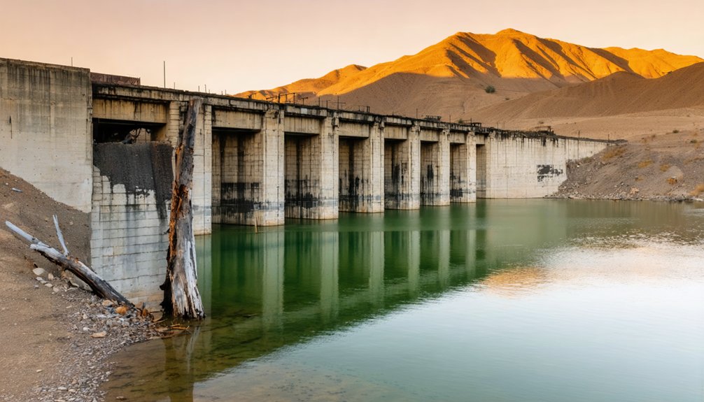
If you want the best chance of seeing Alma’s submerged ruins, plan your visit for late summer, when the reservoir drops to its seasonal low.
Drought years dramatically improve visibility, and the 2008 drawdown stands as a well-documented example of how much the receding water can reveal — from road alignments to brick foundations.
You’ll want to check current water levels before making the trip, since a wet winter can keep the ruins buried well into the following year.
Best Visiting Seasons
Late summer gives you the best shot at seeing Lexington Reservoir’s submerged ruins, when dropping water levels expose brick foundations, fence posts, rock walls, and concrete steps that otherwise stay hidden beneath the surface. Drought years push that exposure even further, revealing historical artifacts that haven’t seen daylight in decades.
Plan your visit around these four conditions:
- Late summer — naturally lower water level creates the widest viewing window
- Drought years — extended dry periods uncover deeper structural remnants
- Morning light — clearer visibility across exposed foundations and road alignments
- Post-drawdown events — managed releases like the 2008 drawdown revealed rare road and building outlines
Avoid winter and spring visits entirely, as cool, wet conditions keep the reservoir full and the historical artifacts completely submerged.
Drought And Water Levels
Water levels at Lexington Reservoir determine everything about what you’ll actually see when you arrive. During normal rainfall years, the submerged ruins of Alma and Lexington stay completely hidden beneath the surface.
Drought impact changes that equation dramatically. When prolonged dry cycles lower the reservoir significantly, brick foundations, concrete steps, rock walls, and old road alignments emerge from the water.
The most documented exposure happened during a 2008 drawdown, when remnants of both towns and the former Highway 17 alignment became clearly visible.
Late summer gives you the best odds in any given year, since seasonal evaporation pulls water levels down naturally. If you’re planning your trip around ruins, track California drought conditions beforehand.
Arriving during a wet cycle means you’ll see nothing but open water.
How Drought Years Expose Roads and Foundations Underwater
During drought years, dropping reservoir levels pull back the waterline to expose what’s normally hidden beneath Lexington Reservoir—old road alignments, brick foundations, concrete steps, rock walls, and fence posts that once defined the towns of Lexington and Alma.
Water level fluctuations determine what historical artifacts become visible and for how long.
A 2008 drawdown revealed significant remnants, giving visitors a rare look at the submerged past. When levels drop enough, you can spot:
- Former Highway 17 road alignments
- Brick and concrete foundation outlines
- Stone walls from commercial buildings
- Tree stumps marking old property boundaries
You can’t control the reservoir, but you can time your visit strategically. Late summer during drought cycles offers your best window to see these exposed remnants firsthand.
How to Reach Lexington Reservoir From Los Gatos
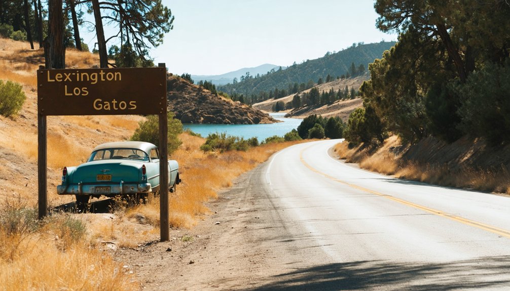
Reaching Lexington Reservoir from Los Gatos is straightforward—you’ll take Highway 17 South directly to the reservoir, which sits just a few miles outside town in the Santa Clara County hills.
The drive follows the same mountain corridor once used by stagecoaches and loggers hauling timber through the region.
A paved parking area near the reservoir gives you easy 2WD access and a clear sightline over the water.
From there, you’re standing above submerged historical architecture—brick foundations, concrete steps, and road alignments from Alma and Lexington.
Local legends about the drowned towns tend to surface alongside the ruins during low-water periods.
Late summer offers your best viewing window, when dropping reservoir levels reveal what the 1952 flooding permanently erased.
What to Pack for a Reservoir Ghost Town Stop
Once you’ve parked at the reservoir, what you’ve brought with you determines how much you actually get out of the stop. Water level conditions shift what’s visible, so preparation matters.
- Binoculars – Spot historical artifacts like brick foundations and fence posts without leaving the shoreline.
- Camera with zoom lens – Low water level exposures are temporary, so document everything you see.
- Water and snacks – There are no services nearby, and late-summer heat hits hard.
- Research notes or a downloaded map – Knowing where Alma’s structures once stood helps you identify what you’re actually looking at.
Pack light, stay mobile, and treat this as a scenic observation stop rather than a hike. The ruins reward the prepared traveler.
Nearby Ghost Towns to Add Along the Highway 17 Corridor
If you’re already making the drive along Highway 17, you can extend your ghost town route by connecting Lexington with the submerged ruins of Alma, its neighboring townsite also drowned beneath Lexington Reservoir in 1952.
Both sites share the same reservoir, so a single stop lets you cover two lost communities without backtracking.
The corridor itself follows a historic stagecoach and rail route that once linked San Jose to Santa Cruz, meaning nearly every mile you drive traces a path that earlier ghost towns helped build.
Highway 17 Corridor Stops
Highway 17 makes a natural backbone for a ghost town road trip, connecting several lost communities between San Jose and Santa Cruz in a single drive. Water level fluctuations reveal submerged ruins at different points along this corridor, making timing essential for historic preservation enthusiasts. Plan your stops strategically:
- Lexington Reservoir overlook – scan the shoreline for exposed foundations during late summer drawdowns.
- Alma townsite – the most visible submerged ruin site when water drops.
- Los Gatos Creek corridor – trace the original stagecoach and rail alignment southward.
- Summit Road junction – marks the mountain divide once crossed by loggers and coastal traders.
Each stop adds context to how Highway 17 replaced an entire living landscape with pavement and reservoir water.
Connecting Ghost Town Routes
Beyond Lexington and Alma, the Highway 17 corridor connects to a broader network of lost California communities worth folding into your itinerary. Head south toward Santa Cruz County and you’ll find remnants of logging settlements that once fed the same mill economy Lexington helped establish.
Swing north into the Santa Clara Valley and older agricultural ghost towns offer historical artifacts ranging from crumbling adobe foundations to abandoned orchard infrastructure. Timing matters across all these stops.
Water level fluctuations at Lexington Reservoir signal the same drought cycles that expose ruins elsewhere in the region. Plan your route during late summer when conditions favor visibility at multiple sites simultaneously.
Chaining these stops together lets you trace how an entire corridor of California communities rose, declined, and quietly disappeared beneath progress.
Why Railroad Rerouting Killed Lexington Before the Flood Did
Long before the James J. Lenihan Dam drowned Lexington, the railroad already sealed its fate. The South Pacific Coast Railroad’s rerouting pulled commerce away, stripping the town of its cultural significance and economic pulse.
Here’s how the railroad dismantled Lexington:
- Rerouted rail lines bypassed the town entirely, redirecting passenger and freight traffic.
- Merchants lost consistent business as travelers chose faster, more direct routes.
- Population dropped sharply, leaving buildings vacant and services unsustainable.
- Highway development followed the railroad’s lead, further isolating the townsite.
Understanding this sequence matters for historical preservation efforts today. You’re not just visiting a flood victim when you stop at Lexington Reservoir — you’re tracing a town that commerce abandoned first. The water simply finished what progress started decades earlier.
Frequently Asked Questions
Was Lexington Ever Considered for Preservation Before the Reservoir Flooded It?
No documented historical preservation efforts saved Lexington before its flood impact. You’ll find that authorities prioritized water supply needs, deliberately demolishing remaining structures before the 1952 reservoir filled, erasing the town’s historical preservation opportunity forever.
Did Any Lexington or Alma Residents Receive Compensation When Displaced?
Imagine clutching your deed as floodwaters rise — displacement compensation likely occurred, though resident testimonies aren’t well-documented in available records. You’ll find the historical record here remains frustratingly sparse on personal financial settlements.
Are There Any Photographs of Lexington or Alma Before Submersion?
Yes, historical photographs of Lexington and Alma do exist. You’ll find them through preservation efforts at local Santa Clara County archives and historical societies, documenting both towns’ vibrant lives before the 1952 flooding erased them forever.
Can Visitors Legally Enter the Exposed Ruins During Low Water Periods?
The knowledge doesn’t confirm legal access to exposed ruins. You’ll want to check with Santa Clara County Water District before exploring, as historical preservation rules often restrict entry to protect documented sites during low water periods.
Has Any Archaeological Survey Been Conducted on the Submerged Townsites?
No documented archaeological findings confirm a formal underwater exploration survey of the submerged townsites. You’d think someone’s mapped it all out, but the available record stays surprisingly silent on any official archaeological investigation.
References
- https://www.facebook.com/groups/SanJoseHistory/posts/3156182101179669/
- https://www.sfgate.com/obscuresf/article/brief-history-of-a-Bay-Area-ghost-town-17397657.php
- https://www.reddit.com/r/bayarea/comments/mh9e6s/whats_under_the_lexington_reservoir_old_state/
- https://patchencalifornia.com/history/
- https://en.wikipedia.org/wiki/Lexington
- https://en.wikipedia.org/wiki/List_of_ghost_towns_in_California
- https://www.mercurynews.com/2008/12/06/ghost-town-remnants-resurface-as-lexington-reservoir-level-falls/
- https://www.ghosttowns.com/states/ca/lexingtonandalma.html



