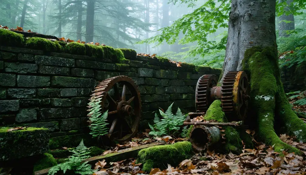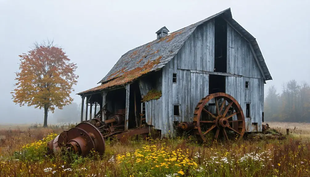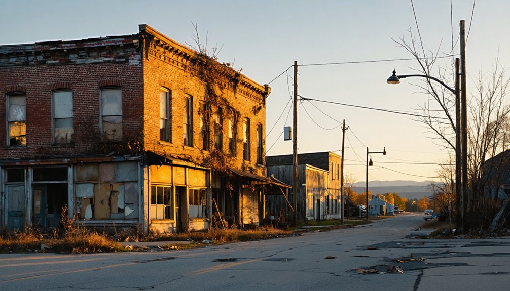
Start your ghost town road trip at Sand Bar State Park, just past Colchester, where glacial sediment built a natural causeway into Vermont’s island past. From there, you’ll island-hop along US-2 through South Hero, North Hero, and Alburg before reaching Isle La Motte’s colonial ruins at Fort St. Anne, Vermont’s oldest settlement dating to 1666. These backroads reward the curious and the patient — and there’s far more history hiding along the way than you’d expect.
Key Takeaways
- Start at Sand Bar State Park in Colchester, where the islands drive begins along a naturally formed sandbar with scenic lake views.
- Follow US-2 through South Hero, North Hero, and Alburg, stopping at old farmsteads, orchards, and scenic Adirondack overlooks.
- Visit Isle La Motte’s Fort St. Anne, Vermont’s oldest colonial settlement, featuring worn historic architecture and expansive lakeshore views.
- Stop at Hero’s Welcome in North Hero for food and fuel, as supplies become scarce further along the route.
- Visit during September or October for peak foliage, or late May for wildflowers and fewer crowds along the corridor.
Vermont’s Ghost Town Road Trip Runs Through the Champlain Islands
When most people think of ghost towns, they picture dusty western mining camps, but Vermont’s version runs quieter and stranger through the Champlain Islands. You’ll follow US-2 through five island towns, each carrying layers of colonial history, local folklore, and historical architecture that most travelers drive right past.
This isn’t a theme-park ghost town — it’s a real backroads corridor where French forts once stood and old settlements faded into the tree line. The route stretches 37 miles from Colchester to Alburg, and you can pull off whenever something catches your eye. That freedom is exactly the point.
You’re not chasing ruins on a checklist; you’re reading a landscape that remembers things most American history books skipped entirely.
Sand Bar State Park: Where the Champlain Islands Drive Begins
You’ll find Sand Bar State Park waiting just after you leave Colchester, and it’s the kind of place that makes you slow down before the islands even begin. The beach here sits atop a natural sandbar built up over centuries by sediment washing down from the Lamoille Valley, giving it a geological backstory most visitors never think to ask about.
Pull in, spread out on the sand, and let the marsh scenery settle around you before you commit to the road ahead.
Park Entry And Access
Before you even reach the first island, Sand Bar State Park eases you into the drive like a quiet prologue. It’s a working historical preservation of the natural shoreline, shaped by centuries of Lamoille Valley sediment. Pull off here before committing to the islands ahead.
- Day-use entry fees apply; cash and card accepted
- Scenic viewpoints face directly toward the open lake
- Picnic areas sit close to the water’s edge
- A natural sandbar stretches along the swimming beach
- The marsh trail adds a short, rewarding detour
You don’t need a reservation to stop. Just pull in, breathe the lake air, and let the place reset your pace. The islands are waiting, but Sand Bar reminds you there’s no rush.
Sandbar Beach Features
The sandbar itself stretches nearly a mile along the lakeshore, a pale ribbon of packed sand that feels borrowed from somewhere farther south. Lamoille Valley sediment built this place over centuries, and that quiet act of geological patience is its own form of historical preservation.
You’ll notice the water stays shallow far out, warm enough by midsummer to wade without hesitation.
Pull your shoes off. The shoreline habitats here shift gradually from open beach into marsh grasses and wetland edges where herons move slowly through the reeds.
It’s the kind of place that rewards people who slow down. Bring a towel, something cold to drink, and give yourself an unhurried hour before you point the car north toward the islands.
Lamoille Valley Sediment Origins
What built this beach wasn’t a developer’s blueprint or a county parks project — it was the Lamoille River, quietly offloading centuries of silt and sediment into Lake Champlain until a sandbar took shape almost by accident. Sediment deposition this patient creates something no contractor can replicate.
Here’s what shaped this stretch of shoreline:
- The Lamoille River carried glacial debris downstream for thousands of years.
- Gradual lake formation shifted currents, slowing sediment movement.
- Material accumulated in shallow water, building the bar from below.
- Seasonal flooding repeatedly added fresh layers of silt.
- Wind and wave action eventually smoothed everything into a walkable beach.
You’re standing on geology that took millennia to finish. That’s worth a moment before you continue north.
Isle La Motte and Fort St. Anne: Vermont’s Oldest Colonial Settlement
When you turn off US-2 onto the quiet roads of Isle La Motte, you’re stepping into Vermont’s oldest colonial chapter — a French garrison called Fort St. Anne stood here in 1666, long before the state had a name.
You’ll find Saint Anne’s Shrine marking that founding ground on West Shore Road, three miles north of the village, where the lakeshore still carries a faint sense of something ancient and half-forgotten.
Plan for a slow afternoon, because the island rewards the kind of unhurried attention that lets history actually land.
Vermont’s First French Settlement
Tucked off the main island corridor on a quiet side road, Isle La Motte feels like a place time quietly bypassed. Vermont’s first French settlement took root here in 1666, and you can still feel that history pressing through the landscape.
Don’t miss these stops:
- Saint Anne’s Shrine marks the original 1666 settlement site
- Fort St. Anne sits three miles north on West Shore Road
- Scenic viewpoints along the western shore frame the Adirondacks beautifully
- Wildlife encounters are common near the shoreline marshes
- VT-129 connects you back to US-2 without backtracking far
Walk the grounds slowly. These aren’t reconstructed tourist sets — they’re actual places where French soldiers once stood, watching the same lake you’re watching now.
Exploring Fort St. Anne
Three miles north of Isle La Motte village, West Shore Road quietly delivers you to Fort St. Anne, where French soldiers stood guard over Lake Champlain in 1666. You’re walking ground that most Vermont travelers never find.
The historical architecture here isn’t grand — it’s worn and honest, reflecting centuries of weather and neglect rather than preservation budgets. That rawness is exactly what makes it memorable.
Local legends suggest the fort protected early settlers from Iroquois raids, and standing at the lakeshore, you’ll feel the weight of that story.
The water stretches endlessly westward toward New York, indifferent to borders and centuries alike.
Bring your own silence here. Nobody’s managing your experience — just open land, old stone, and a history that hasn’t been polished for tourists.
Planning Your Isle Visit
Getting to Isle La Motte takes a little intention, and that’s part of its charm. Take VT-129 off US-2, and you’ll feel the pace shift immediately. Here’s what to keep in mind before you go:
- Arrive with a full tank — fuel stops are scarce
- Visit Saint Anne’s Shrine early before crowds settle in
- Watch for local wildlife along the marshes bordering the road
- Identify scenic viewpoints near West Shore Road for photography
- Carry cash since small island vendors often skip card readers
You’re not just passing through — you’re stepping into Vermont’s oldest colonial story. The ferry’s nearby if you want to push into New York, but honestly, Isle La Motte rewards anyone willing to slow down and stay awhile.
Driving US-2 Island by Island: South Hero to Alburg
Once you leave Colchester behind and cross the Sand Bar causeway, US-2 settles into a quiet, island-hopping rhythm that feels almost suspended from the rest of Vermont.
South Hero greets you first, its old farmsteads and apple orchards carrying local folklore about early settlers who carved lives from this isolated lakeshore. Keep driving north and you’ll find scenic overlooks where the Adirondacks rise dramatically across the water.
North Hero follows, small and unhurried, with Hero’s Welcome offering coffee and conversation before you push onward.
By the time US-2 carries you into Alburg, the landscape opens wide, the lake pressing close on both sides.
Each island town feels distinct yet connected, like chapters in a story Vermont hasn’t quite finished telling.
Colonial Ruins and Ghost Town Stops Worth the Detour
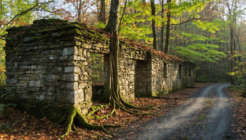
Side roads off US-2 quietly hold the oldest stories on this route, and none repays the detour more than Isle La Motte. Follow VT-129 west and you’ll walk ground tied to local legends stretching back to 1666. These historic landmarks reward the curious traveler willing to leave the main road behind.
The oldest stories on this route don’t live on US-2 — they hide down the side roads.
Stop at these colonial ruins and ghost-town highlights:
- Saint Anne’s Shrine – Vermont’s first French settlement site, established 1666
- Fort St. Anne – old French fortification on West Shore Road, three miles north of the village
- Lakes to Locks Passage corridor – Revolutionary War and colonial-era history throughout
- Abandoned lakeshore settlements – quiet, overgrown remnants tucked along back roads
- Isle La Motte village itself – small, unhurried, and steeped in forgotten history
Where to Eat and Refuel on the Champlain Islands
Food and fuel options thin out quickly once you leave Colchester, so planning ahead saves you from coasting into Alburg on fumes and an empty stomach.
Hero’s Welcome in North Hero is the corridor’s most reliable all-in-one stop — part general store, part café, part local gathering spot — and it carries the kind of unhurried, screen-door charm that reminds you why you took the back road in the first place.
The local cuisine leans simple and honest — sandwiches, coffee, provisions worth grabbing before the road narrows further north.
Fuel stations grow scarce past South Hero, so top off when you can.
Treat every small-town stop less like an errand and more like a chapter — because out here, they usually are.
When to Drive the Champlain Islands Ghost Town Route
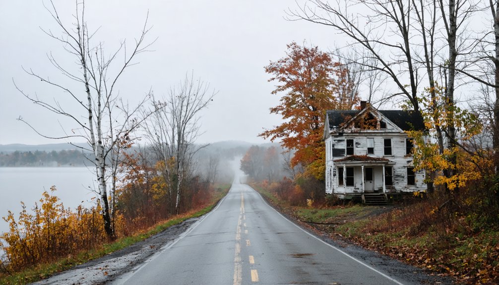
Timing shapes everything on this route. Hit it wrong and you’ll miss the light, the color, and the quiet that make the historical preservation sites feel genuinely alive.
Timing shapes everything. Miss the right light and the quiet, and the history here stays frozen behind glass.
The best windows to drive are:
- Late May: Wildflowers frame the scenic viewpoints before summer crowds arrive
- June through August: Full lake access, open parks, and long golden evenings
- September and October: Peak foliage turns the island corridor into something almost unreal
- Early spring: Raw and lonely, perfect for solitary backroads wandering
- Avoid winter: Services close, roads ice, and the ferry schedule shrinks
You’ll want dry pavement and daylight to spare. The islands reward slow drivers who stop often, look twice, and let the old lakeshore stories catch up to them.
Frequently Asked Questions
Can I Bring My Dog to Sand Bar State Park and Ghost Town Stops?
You can bring your pup! Sand Bar’s dog friendly beaches welcome leashed dogs. Always follow pet safety tips—carry water, check terrain. At historic ghost town stops, you’ll create unforgettable memories together exploring Vermont’s wild, free spirit.
Is the Champlain Islands Route Suitable for RVS or Large Vehicles?
Like a wide-open highway calling your name, RV accessibility here is generally good! You’ll cruise US-2 comfortably, though check vehicle size restrictions on narrower island connectors and ferry lanes before rolling out.
Are There Any Guided Ghost Town or Historical Tours Available Locally?
You’ll find local guides who’ll walk you through haunted legends and historical landmarks around Isle La Motte’s old French fort, where stories of 1666’s first Vermont settlement come alive through nostalgic, firsthand storytelling you won’t forget.
Does the Grand Isle Ferry to Plattsburgh Run Year-Round?
The ferry schedule isn’t year-round — seasonal operation means you’ll want to check ahead before you go. If you catch it running, that crossing to Plattsburgh feels like stepping into a freer, wilder version of your journey.
Are There Overnight Lodging Options Directly on the Champlain Islands Route?
You’ll find lodging options right along the route. Grand Isle State Park’s campground offers route accommodations with that old-fashioned, under-the-stars freedom you’re craving, putting you steps from the lake’s timeless, glassy shoreline.
References
- https://www.facebook.com/groups/BenningtonBlotter/posts/2084150884950089/
- https://urbanpostmortem.wordpress.com/tag/ghost-town/
- https://www.wanderthewest.com/threads/ghost-town-tour.15966/
- https://www.youtube.com/watch?v=ScW-H7A8yL8
- https://visitmt.com/trip-ideas/ghost-town-route
- https://www.myscenicdrives.com/drives/vermont/champlain-islands
- http://www.gribblenation.org/2024/01/early-fall-jaunt-to-vermont-and.html
- https://petakovmedia.com/lake-champlain-monster-road-trip/
- https://suncommunitynews.com/news/28338/spend-your-vacation-with-our-ghosts/
- https://content.roadtripusa.com/the-great-northern/vermont/lake-champlain-islands/