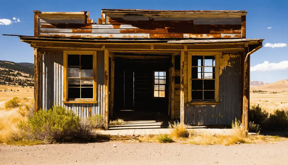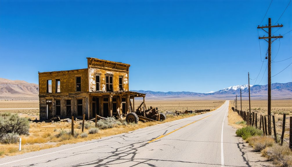
Planning a ghost town road trip to Lime, Oregon means heading to Baker County, about 5 miles north of Huntington off Interstate 84 and U.S. Route 30. This forgotten cement town peaked in 1940, shut down in 1980, and lost most of its structures to demolition in 2018. You’ll find raw decay, rugged landscape, and layered history where Marble Creek meets the Burnt River. Bring GPS, pack water, and wear sturdy shoes—there’s much more to this story worth uncovering.
Key Takeaways
- Lime, Oregon is located in Baker County, approximately 5 miles north of Huntington, accessible via a minimally marked side road off Interstate 84.
- GPS and offline maps are strongly recommended, as the turnoff is easy to miss and road conditions may be rough or unpaved.
- The ghost town peaked in 1940 with 18 residents, built around lime, plaster, and cement production before permanently shutting down in 1980.
- Most structures were demolished in 2018, leaving minimal remains; expect raw decay, natural landmarks, and no formal signage or parking lots.
- Visit during warmer weekdays for better accessibility, and pack water, essentials, and practical footwear for safe remote exploration.
Where Is Lime, Oregon and How Do You Get There?

Tucked away in Baker County, Oregon, Lime sits roughly 5 miles north of Huntington, just off Interstate 84 and U.S. Route 30. To reach it, exit the interstate north of Huntington and follow the side road toward the Burnt River, where Marble Creek meets the main waterway.
Lime hides just 5 miles north of Huntington, slipping quietly off Interstate 84 where Marble Creek meets the Burnt River.
You’ll find this former industrial community resting quietly alongside Union Pacific Railroad tracks, with the historic Oregon Trail cutting through the surrounding landscape.
Local legends surrounding Lime’s lime, plaster, and cement production days give the journey a rich sense of discovery. Though preservation efforts have been minimal since the plant’s 2018 demolition, the remoteness itself rewards adventurous travelers.
Keep your GPS handy, since the turnoff isn’t heavily marked, and treat Baker City as your broader navigational anchor heading into this forgotten corner of Oregon.
What Lime, Oregon Looked Like at Its Peak
At its peak in 1940, Lime, Oregon claimed just 18 residents — a remarkably small number for a community built around active industrial production. Despite its tiny population, the town hummed with real industrial purpose, producing lime, plaster, and cement that supplied regional demand.
Picture the facility operating at full capacity — workers moving through a landscape defined by machinery, dust, and the sounds of production.
The Burnt River and Marble Creek flanked the site, giving it a rugged, almost cinematic character you’d expect from local legends of the American West.
Historical artifacts from that era reflect a working community shaped entirely by its industry. This wasn’t a tourist destination — it was a hardworking settlement where people carved out independence in Oregon’s remote Baker County landscape.
How the Cement Industry Built and Abandoned Lime
The industrial muscle that made Lime worth living in also signed its death warrant. The town built its identity around producing lime, plaster, and cement, giving workers a reason to settle near Marble Creek. That industrial history thrived until 1979, when a newer cement plant opened in Nelson, making Lime’s operation obsolete overnight.
The original plant shut down permanently in 1980.
The abandoned infrastructure sat dormant for nearly two decades before Baker County seized the property in 1999 over unpaid back taxes. Nobody stepped in to revive it.
What’s Actually Left at the Lime, Oregon Ghost Town Site
After the 2018 demolition, almost nothing survives at Lime — and that absence is the whole point of visiting. You’re not coming for grand industrial remnants or polished historic markers. You’re coming to stand where something once existed and now doesn’t.
What you’ll actually find:
- A wide spot on a side road off Interstate 84, easily missed if you’re not paying attention
- Minimal structural traces where Baker County’s possession of the tax-delinquent site eventually led to full demolition
- Natural landmarks — the Burnt River, Marble Creek, and Union Pacific tracks — that outlasted everything humans built here
That raw emptiness tells Lime’s story better than any preserved building could. You’ll leave understanding exactly how completely a town can disappear.
Walking the Site: Access Points and What to Expect
Reaching Lime means exiting Highway 30/Interstate 84 north of Huntington and steering a side road that feels more like an afterthought than an actual destination. The Union Pacific Railroad tracks and the Burnt River‘s confluence with Marble Creek serve as your landmarks once you’re off the main route.
Don’t expect a parking lot or welcome signs. You’re walking into raw urban decay, where a demolished cement plant once defined an entire community. The 2018 demolition stripped away most physical evidence, so historical preservation here lives mostly in records rather than standing structures.
Bring your curiosity and practical footwear. The Oregon Trail passed through this exact ground, and that invisible history rewards those willing to look beyond the emptiness. You’ll leave with perspective, not souvenirs.
The Oregon Trail’s Route Through Lime, Oregon
Few ghost towns carry the layered weight of Lime, where the ground beneath your feet once absorbed the footsteps of thousands of westward-bound pioneers traveling the Oregon Trail. This historic route cuts directly through the area, connecting Lime’s mining history and railroad significance into one remarkable timeline.
Standing here, you’re overlapping centuries of American movement:
- Pioneer era: Oregon Trail emigrants passed through seeking land and freedom beyond the frontier
- Industrial era: Lime’s mining history transformed the landscape through cement and plaster production
- Railroad significance: Union Pacific tracks sliced through, replacing wagon wheels with steel
That convergence of trail, industry, and rail makes Lime unlike ordinary ghost towns. You’re not just visiting ruins — you’re standing where multiple chapters of westward expansion physically intersect.
Burnt River and Marble Creek: The Scenery Surrounding the Site
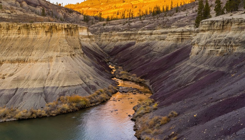
Where Marble Creek meets the Burnt River, you’ll find the natural backdrop that frames Lime’s ghostly remains. These converging waterways shaped the town’s identity long before cement dust settled over everything.
The river corridor made industrial operations possible, supporting Lime’s mining history by providing essential resources and natural geography that early settlers and workers depended on daily.
You’ll also notice the Union Pacific Railroad tracks cutting through the landscape, a reminder of the railroad significance that once connected Lime to broader markets and kept its cement industry alive.
Standing at this confluence today, you’re surrounded by rugged Oregon terrain that feels simultaneously wild and historically layered. The water still moves, the tracks still run, but the town itself has surrendered back to the land around it.
Where to Stop Near Huntington Before or After Visiting Lime
Huntington sits just 5 miles south of Lime, making it the natural basecamp for your ghost town detour off Interstate 84. Before or after exploring the abandoned cement site, you’ll find genuine reasons to linger here:
- Historic markers along US Route 30 trace the Oregon Trail’s path through this rugged corridor.
- Local legends tied to the Burnt River valley give context to the industrial and pioneer history shaping this region.
- Small-town fuel stops and roadside rest areas let you regroup before steering along the side road toward Lime.
Huntington won’t overwhelm you with tourist traps, and that’s precisely its appeal. It’s a no-frills launch point where you refuel, orient yourself, and head north toward one of Baker County’s most quietly fascinating forgotten places.
When to Visit Lime, Oregon for the Best Road Trip Experience
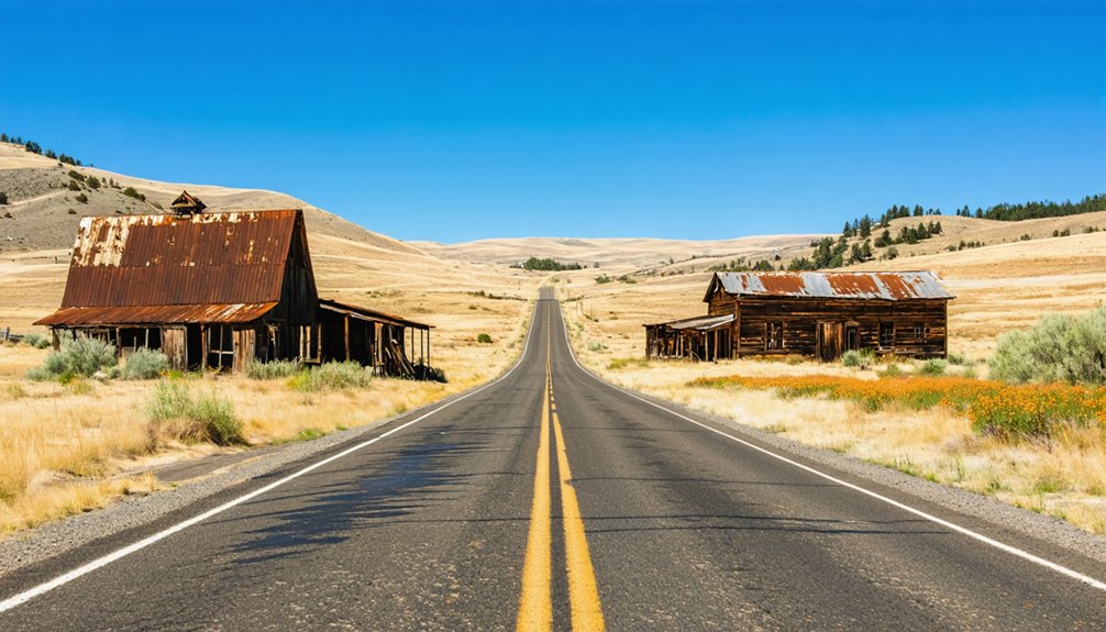
Timing your visit to Lime makes a real difference when you’re steering a side road off Interstate 84 with little more than demolished foundations and open sky waiting for you. Late spring through early fall gives you the clearest light for photographing remnants where abandoned machinery once thundered through production cycles.
Summer mornings offer cooler temperatures before the high desert heat climbs, letting you explore freely without rushing back to your vehicle. Avoid winter months when icy conditions make the side road genuinely treacherous.
Locals who carry the area’s local legends in their memories are more likely to be out and accessible during warmer seasons, adding unexpected depth to your stop. Weekdays also keep the stretch quieter, giving you uninterrupted space to absorb the silence Lime has earned.
What to Know Before You Drive Out to Lime
Before you head out, exit Interstate 84 north of Huntington and follow the side road toward the old plant site, keeping the Union Pacific Railroad tracks and the Burnt River as your natural guides.
Don’t expect much when you arrive — the industrial plant was demolished in 2018, leaving little more than a wide spot on a quiet road.
While you’re in the area, you’ll find the historic Oregon Trail and the confluence of Marble Creek and the Burnt River worth a quick stop nearby.
Getting There Safely
Since Lime sits about 5 miles north of Huntington along Interstate 84 and U.S. Route 30, getting there’s straightforward but requires attention. Exit north of Huntington and navigate the side road carefully, as GPS details for this remote spot aren’t always reliable.
Before you roll out, keep these essentials in mind:
- Fuel up in Huntington — services disappear quickly once you leave town
- Check road conditions — side roads off I-84 can be rough or unpaved
- Respect preservation efforts — local legends surround this site, and what little remains deserves protection
You’re chasing freedom and history here, so pack water, download offline maps, and give yourself flexibility. The Union Pacific tracks and Burnt River serve as helpful landmarks once you’re close.
What Remains Today
Once you’ve made it out to Lime, don’t expect a cinematic ghost town with crumbling facades and rusted machinery frozen in time — what you’ll find is far more stripped down. The industrial plant that once defined this community was demolished in 2018, leaving almost nothing standing.
Baker County claimed the site in 1999 over unpaid taxes, and the land has sat largely empty ever since.
You won’t stumble across historical artifacts or posted markers celebrating local legends here. What remains is fundamentally a wide spot on a side road — the Burnt River nearby, Marble Creek at the confluence, and Union Pacific tracks cutting through.
It’s raw, quiet, and honest. For travelers who value unfiltered exploration over curated experience, that emptiness tells its own story.
Nearby Landmarks To Note
Although Lime itself offers little in the way of recognizable landmarks, the surrounding area gives you solid reference points to orient your drive. Keep your eyes open for local legends etched into the landscape and historic markers that connect this corridor to America’s westward expansion.
- The Oregon Trail cuts through the area, putting you directly on a path that pioneers once traveled on foot.
- The Burnt River and Marble Creek confluence marks the precise geographic heart of where Lime once thrived.
- Union Pacific Railroad tracks run straight through the site, giving you a clear visual anchor when maneuvering the side road.
These touchstones make the drive worthwhile even beyond the ghost town itself, grounding your trip in deeper Oregon history.
Frequently Asked Questions
Is There Any Cell Phone Signal Available at the Lime Ghost Town Site?
With only 18 residents at peak population, Lime’s remoteness means you’ll likely find weak cell signal there. Don’t count on strong signal strength—you’re exploring an isolated ghost town, so download your maps before heading out!
Are There Any Entrance Fees or Permits Required to Visit Lime, Oregon?
You don’t need entrance fees or permits to visit Lime, Oregon! It’s an unincorporated ghost town where you’re free to explore for historical preservation insights and wildlife observation, making it a perfectly accessible, no-cost adventure for freedom-seekers.
Can You Camp Overnight Near the Lime, Oregon Ghost Town Location?
You’ll find no official campgrounds at Lime’s historically significant ghost town site, but nearby public lands along the Burnt River offer freedom to set up camp while you’re capturing stunning photography opportunities of this hauntingly beautiful location.
Is the Lime Site Accessible for Visitors With Mobility Limitations or Disabilities?
If you’re like a wheelchair user exploring rural Oregon, you’ll find Lime’s unpaved, rugged terrain challenging — it lacks disability accommodations and accessibility improvements, making independent navigation difficult across its uneven, demolished industrial landscape.
Are Pets Allowed When Visiting the Lime, Oregon Abandoned Industrial Site?
No official pet policies or animal restrictions are documented for Lime’s abandoned industrial site. You’re free to bring your furry companions, but keep them leashed and safe while exploring this rugged, remote ghost town terrain.
References
- https://www.facebook.com/groups/ForgottenOregon/posts/2975076842760234/
- https://en.wikipedia.org/wiki/Lime
- https://kids.kiddle.co/Lime
- https://wickershamsconscience.wordpress.com/2022/10/30/geology-is-messy-lime-oregon/
- https://travelingthepnw.com/2017/08/07/abandoned-lime-cement-plant/