Macy, South Dakota was a frontier settlement that flickered to life around 1893 and vanished by 1907, leaving behind nothing but open plains in North Butte County. To plan your road trip, you’ll need historic maps, GPS downloads, and confirmed land access permissions before you go. Pack sturdy boots, water, and a compass—there’s no signage or cell service out there. Pair Macy with nearby ghost towns like Minnesela and Carbonate Camp for a full day of high plains discovery. Stick around, and there’s plenty more to uncover.
Key Takeaways
- Macy, South Dakota, was a short-lived frontier settlement along Main Creek, visible on historic maps from approximately 1893 to 1907.
- Use historic maps, satellite imagery, and landmarks like Gustave Butte and Hay Stack Butte to pinpoint Macy’s former location.
- Verify land ownership before visiting by consulting the Butte County Register of Deeds and South Dakota Game, Fish and Parks.
- Pair Macy with nearby ghost towns like Carbonate Camp, Minnesela, and Orman for a full, rewarding day trip.
- Pack maps, compass, water, sturdy boots, and a first-aid kit, as no signage, cell signal, or amenities exist on-site.
What Was Macy, South Dakota?
Tucked into North Butte County along Main Creek, between Gustave and Hay Stack Buttes, Macy was a small South Dakota frontier settlement that briefly appeared on historic maps from around 1893 to 1907 before vanishing into the plains.
Like countless western towns, it rose quickly, tied to the boom-and-bust cycles driving frontier expansion, then disappeared just as fast. You won’t find marked streets or restored buildings waiting for you.
Macy rose fast, driven by frontier ambition, and vanished just as quickly, leaving nothing behind to mark its place.
Historical photographs of Macy are fundamentally nonexistent, and preservation efforts never took hold, leaving behind a mystery you’ll have to piece together yourself.
That blank historical record is exactly what makes Macy compelling. It challenges you to dig into old maps, cross-reference archives, and reconstruct a place that time quietly erased from the landscape.
Where Exactly Was Macy Located in North Butte County?
Nestled along Main Creek in North Butte County, Macy sat in the corridor between Gustave and Hay Stack Buttes, two geographic landmarks that still anchor your search today. These natural features give you real navigational footholds when modern road signs offer nothing.
Historic preservation efforts for sites like Macy remain sparse, so you’ll rely heavily on digitized historic maps to pinpoint the former townsite. Before you head out, cross-reference those maps with current land surveys to avoid trespassing on private property.
Archaeological surveys haven’t formally documented Macy, meaning the ground may hold untouched clues or nothing visible at all. Either way, knowing the creek corridor and butte positions puts you far closer to where frontier life briefly took root in this rugged western South Dakota landscape.
Why Did Macy Disappear After Only 14 Years?
When you research Macy’s short lifespan, you’ll quickly recognize the classic boom-and-bust pattern that erased dozens of western South Dakota towns.
The decline of mining activity and railroad interest pulled economic support right out from under frontier settlements like Macy, leaving residents with little reason to stay.
Once the driving forces dried up, you’d have watched a living town transform into silence within just a few years.
Boom-And-Bust Economic Cycles
Like so many frontier settlements scattered across western South Dakota, Macy didn’t fade quietly — it followed a boom-and-bust cycle that was practically written into the town’s DNA from the start. When the economic engine driving a community collapsed — whether mining dried up, railroads bypassed the area, or land prospects soured — residents simply moved on.
You can trace that pattern across dozens of western South Dakota towns that share Macy’s fate. The cultural significance of these short-lived settlements often gets lost precisely because preservation challenges mount quickly once people leave. No residents means no maintenance, no records, and no advocacy.
What remains is silence and scattered historical map references. Understanding this cycle helps you appreciate why visiting Macy means embracing uncertainty rather than expecting a preserved, picture-perfect ghost town.
Railroad And Mining Decline
Boom-and-bust cycles explain the *pattern*, but the specific forces behind Macy’s disappearance point directly to railroad routing and mining decline. When rail lines bypassed a settlement, economic decline followed fast. Suppliers moved, residents relocated, and towns like Macy simply emptied out.
Mining downturns hit just as hard — once extraction slowed, the financial reason for staying vanished overnight.
You can trace these settlement patterns across western South Dakota and see the same story repeating. Communities that lacked a permanent railroad connection or a sustained mineral deposit rarely survived past a single generation.
Macy lasted roughly 14 years before dropping off the map entirely. Understanding what killed it sharpens your appreciation for how fragile frontier life actually was — and makes the road trip feel genuinely meaningful.
Frontier Settlement Abandonment Patterns
Fourteen years is barely enough time for a frontier town to find its footing, yet Macy’s entire recorded lifespan fits inside that narrow window.
Settlement patterns across western South Dakota followed a brutal logic: resources arrived, people followed, resources disappeared, people left. Macy fit that cycle precisely.
When the economic engine driving its existence stalled, urban decay moved fast on the open plains, erasing structures and erasing memory.
You won’t find a dramatic collapse story here because the collapse was quiet and total.
Understanding this pattern actually sharpens your road-trip perspective. You’re not visiting failure; you’re reading the landscape honestly.
Macy’s disappearance wasn’t unusual; it was frontier mathematics. Knowing that makes standing near its former location feel less like loss and more like genuine discovery.
Is There Anything Left To See at Macy Today?
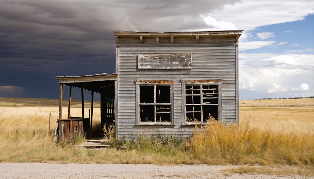
Macy doesn’t offer a welcome sign, a museum, or a restored storefront — what’s left is fundamentally a blank patch of land in North Butte County, tucked between Gustave and Hay Stack Buttes along Main Creek.
Forget ghost town myths about crumbling saloons and dramatic urban decay frozen in time. Macy likely vanished quietly, leaving little trace beyond its brief appearance on maps between 1893 and 1907.
You won’t find foundations or weathered timber here — nature and time have almost certainly reclaimed everything.
What you’ll find is raw, open western South Dakota landscape that rewards explorers who value the hunt itself.
Bring historic maps, verify land access before you go, and let the absence tell its own frontier story.
How To Use Historic Maps To Pinpoint Macy’s Location
Since Macy leaves almost nothing on the ground to guide you, historic maps become your most powerful tool for pinpointing where the town once stood.
Historical map analysis lets you trace Macy’s appearances between roughly 1893 and 1907, cross-referencing older county plats against modern satellite imagery for accurate geographic pinpointing.
Start with digitized archives like the David Rumsey Map Collection or the Library of Congress, searching specifically for Butte County, South Dakota.
Once you’ve located Macy on a period map, identify fixed landmarks — Main Creek, Gustave Butte, and Hay Stack Butte — and use those as anchors.
Layering old maps over current topographic data narrows your target zone considerably.
Before you drive out, confirm land access, since the site likely crosses private or undeveloped terrain.
How To Get To North Butte County for a Macy Visit
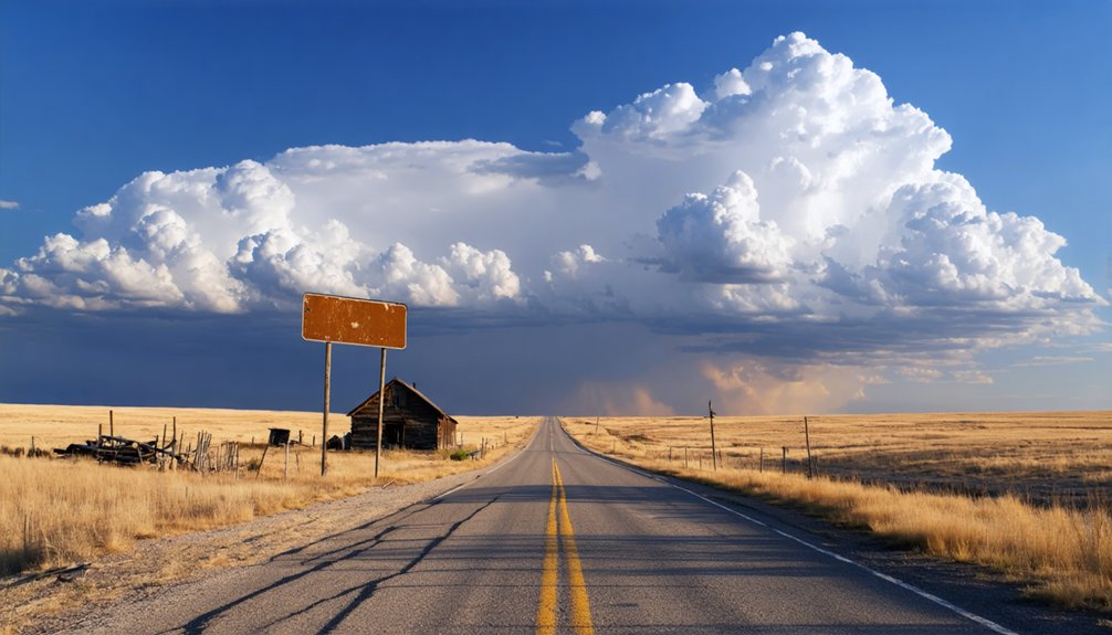
Getting to North Butte County feels like driving into the edge of the American frontier, and that sense of remoteness is exactly what makes a Macy road trip worth the effort. You’ll travel through open, wind-swept terrain where local legends still echo across the plains near Main Creek, tucked between Gustave and Hay Stack Buttes.
Before you roll out, prep smart:
- Verify road access — rural routes into North Butte County can shift between public and private land, so confirm conditions beforehand.
- Carry printed historic maps — digital signals fade fast out here, and paper guides you toward historical artifacts and former settlement zones.
- Fuel up in advance — services thin out quickly once you push deeper into western South Dakota’s open country.
Who Owns the Land Where Macy Once Stood?
Before you set foot anywhere near the former site of Macy, you’ll want to know who controls the ground beneath your boots. Land ownership in North Butte County varies between private ranches, state holdings, and federal parcels, so you can’t assume open access.
Unlike urban decay sites where abandoned buildings invite exploration, rural ghost towns often sit on working land with posted boundaries. No confirmed historic preservation designation protects Macy’s former footprint, meaning no agency actively manages public access there.
Before driving out, contact the Butte County Register of Deeds or the South Dakota Game, Fish and Parks office to clarify current ownership. Respecting those boundaries keeps you legal and preserves your freedom to keep exploring other ghost towns throughout the region without legal complications slowing you down.
Which Ghost Towns Pair Well With a Macy Day Trip?
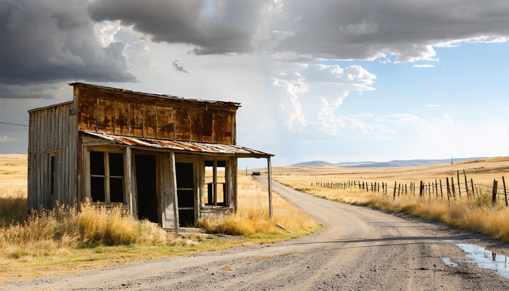
Once you’ve sorted out land access around Macy, you can start thinking bigger and string together a full day of ghost-town exploration across western South Dakota. The region rewards independent travelers who dig past tourist amenities and chase local legends across open land.
The region rewards independent travelers who dig past tourist amenities and chase local legends across open land.
Pair your Macy stop with these nearby ghost-town destinations:
- Carbonate Camp – A mining-era remnant that echoes the same boom-and-bust pattern as Macy
- Minnesela – A former county seat with stronger local legends and slightly more documented history
- Orman – Another Butte County ghost town that rounds out a tight regional loop
Map each stop before you leave, verify land access, and treat the entire route as a moving history lesson rather than a guided tour.
What To Bring and Expect on a Western South Dakota Ghost Town Road Trip
Packing right makes the difference between a rewarding day in the field and a frustrating one. Western South Dakota ghost towns like Macy offer almost zero tourist infrastructure, so you’re on your own once you leave the highway.
Bring paper maps, downloaded GPS routes, sturdy boots, water, snacks, and a first-aid kit. A camera helps document details that support cultural preservation efforts for sites like these.
Dress in layers since high plains weather shifts fast. Check land ownership records before you go, because many ghost-town sites cross private property.
Tell someone your route before heading out. Expect uneven terrain, no cell signal, and no signage.
What you’ll gain, though, is raw frontier history and the kind of open-road freedom that no marked tourist trail delivers.
Frequently Asked Questions
What Time of Year Is Best for Visiting Macy’s Ghost Town Site?
You’ll release your wildest adventures at Macy’s ghost town during summer’s golden peak! Seasonal weather transforms June through August into the absolute best visiting times, granting you dry roads, endless daylight, and total freedom to explore freely.
Are There Guided Ghost Town Tours Available in Butte County?
You won’t find formal guided tours in Butte County, but you can independently explore sites rich in historical preservation and local legends. Chart your own adventurous course using historic maps, uncovering frontier mysteries on your own fearless terms.
Can Children Safely Participate in a Macy Ghost Town Road Trip?
Like wild pioneers, your kids can join this adventure! You’ll want to verify land access first, but Macy’s historical preservation journey offers kid-friendly activities, turning the open road into an unforgettable, freedom-filled family exploration.
What Photography Equipment Works Best for Ghost Town Documentation?
You’ll capture Macy’s haunting beauty best with a DSLR and wide-angle lens. Master your camera gear by using natural lighting techniques—golden hour transforms abandoned landscapes into breathtaking, story-rich images worth exploring freely.
Are Nearby Campgrounds Available for an Overnight Macy Research Trip?
You’ll find camping options across Butte County’s rugged landscape, making overnight stays entirely possible. Check nearby Belle Fourche Reservoir or Black Hills campgrounds before heading out, and always verify land access to embrace your frontier adventure freely!
References
- https://kids.kiddle.co/List_of_ghost_towns_in_South_Dakota
- https://www.facebook.com/groups/milkywaychasers/posts/1862952813944211/
- https://en.wikipedia.org/wiki/List_of_ghost_towns_in_South_Dakota
- https://www.blackhillsbadlands.com/blog/post/old-west-legends-mines-ghost-towns-route-reimagined/
- https://www.youtube.com/watch?v=iLdeP_SBrJc
- https://openprairie.sdstate.edu/etd/4061/
- https://www.youtube.com/watch?v=_0WNYsFLSLA
- https://kxrb.com/south-dakota-ghost-towns-2/
- https://www.facebook.com/HistoryBelowThePines/posts/episode-5-season-1-of-history-below-the-pines-recap-in-august-of-2022-we-were-gi/774401864487668/