North Sherburne, Vermont isn’t a ghost town of crumbling buildings and empty streets — it’s a place that vanished through a single vote in 1999, when residents chose to erase 214 years of civic identity by renaming their town Killington. You can reach it via Route 4, starting from Rutland or Woodstock. Killington Peak and Thundering Brook anchor the landscape. It’s a quiet, fascinating detour where history hides in plain sight, and there’s far more to this story than a name change.
Key Takeaways
- North Sherburne, Vermont, “disappeared” in 1999 when residents voted to rename the town Killington, erasing its civic identity without physical abandonment.
- Reach North Sherburne via Route 4, starting from Rutland to the west or Woodstock to the east for a scenic mountain drive.
- Killington Peak, standing at 4,229 feet, offers 360-degree panoramic views and represents the region’s most iconic natural landmark.
- Thundering Brook Trail provides close-up access to natural features and remnants of past settlements tied to Sherburne’s history.
- Slow, exploratory backroad driving enhances the experience, uncovering local stories blending Sherburne’s 1785 settlement history with modern Killington identity.
What Actually Makes North Sherburne a Ghost Town?
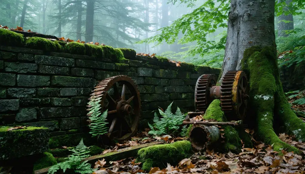
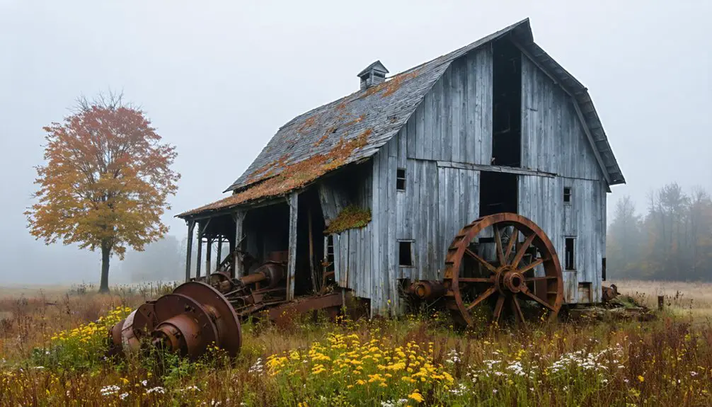
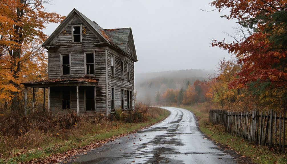
When most people picture a ghost town, they imagine crumbling storefronts, rusted-out relics, and tumbleweed drifting through empty streets — but North Sherburne, Vermont tells a quieter, stranger story. You won’t find abandoned structures frozen in decay here. Instead, you’ll find a town that simply ceased to exist on paper.
Sherburne was a real, functioning Vermont community, settled in 1785 with a population of 452 by 1830. Its historic landmarks include Killington Peak and Thundering Brook, remnants of a landscape that shaped — and ultimately limited — settlement growth.
On September 2, 1999, residents voted to rename the town Killington, effectively erasing Sherburne from the map.
That’s what makes it a ghost town: not physical abandonment, but the quiet disappearance of an entire civic identity.
The Real History of Sherburne, Vermont
To understand why Sherburne’s disappearance carries weight, you need to know what it actually was before that 1999 vote erased it.
Sherburne wasn’t myth or local legends — it was a functioning Vermont town with real roots:
- 1785: Settlers established Sherburne as one of Vermont’s early inland communities
- 1830: The population reached 452 residents, proving genuine civic life
- Killington Peak and Thundering Brook defined its rugged natural boundaries
High elevation limited farming, shaping how residents built and survived.
Historical preservation efforts through the Sherburne library kept its civic record intact.
That mountain terrain wasn’t just scenery — it dictated everything about how the town grew and eventually faded.
When you drive through Killington today, you’re moving through land that quietly holds over two centuries of erased identity.
How to Reach North Sherburne on Your Road Trip
Getting to North Sherburne means driving into Vermont’s mountain interior, where Route 4 cuts through Rutland County and delivers you directly into Killington’s elevated terrain. From the west, you’ll pass through Rutland city before the road climbs steadily toward the peaks.
From the east, Woodstock serves as a natural starting point along the same corridor.
Once you’re moving through the mountain landscape, Thundering Brook and Killington Peak become your landmarks. Keep your eyes open and your pace slow — locals carry local legends and folklore stories about Sherburne’s past that you won’t find on any map.
Stop at small roadside spots, ask questions, and let the backroads guide you. This terrain rewards travelers who explore freely rather than rushing toward a destination.
What Happened to the Town Sherburne Used to Be?
Sherburne didn’t vanish overnight — it transformed slowly, shaped by geography and time. High elevation and limited farmland constrained growth, and local legends suggest the landscape itself pushed residents toward easier terrain. You won’t find dramatic abandoned structures here — instead, you’ll find a town that quietly shed its identity.
Here’s what shaped Sherburne‘s transformation:
- Settled in 1785, it began as a determined inland community
- By 1830, only 452 residents called it home
- Killington Peak and Thundering Brook defined its rugged, unforgiving terrain
- Civic identity slowly dissolved across the following decades
- On September 2, 1999, residents voted to rename it Killington
Sherburne’s ghost-town label reflects a vanished name, not a vanished place — a distinction worth understanding before you arrive.
What to See Around Killington Peak and Thundering Brook
Once you’ve soaked in the history of old Sherburne, you’ll find the surrounding landscape rewards your curiosity just as much as the town’s past does.
You can catch sweeping scenic views from Killington Peak, where Vermont’s elevated terrain stretches out in every direction and reminds you why early settlers both prized and struggled with this rugged land.
Thundering Brook Trail gives you direct access to one of the area’s most dramatic natural features, making it an easy addition to your road-trip stops.
Killington Peak Scenic Views
Whether you’re chasing mountain panoramas or just want to stretch your legs on a road trip, Killington Peak delivers one of Vermont’s most rewarding high-elevation stops. At 4,229 feet, it anchors the landscape surrounding old Sherburne and rewards explorers with raw, open views that local legends say once guided early settlers through dense wilderness.
Here’s what you’ll find at the peak:
- Sweeping 360-degree views across central Vermont’s ridgelines
- Trails maintained under active forest conservation efforts
- Wildlife corridors cutting through protected backcountry
- Seasonal foliage that transforms the mountain dramatically
- Clear-day sightlines reaching into New Hampshire and New York
You don’t need a summit permit—just solid footwear and a willingness to climb. The freedom this peak offers is entirely worth the effort.
Thundering Brook Trail Access
Just below Killington Peak, Thundering Brook offers a completely different kind of reward—less elevation, more immediacy. You’ll find trail access along Thundering Brook Road, where the water moves fast and loud through dense forest. It’s a grounding contrast to the open summit views you just left behind.
This stretch carries its own local legends—stories of early settlers maneuvering these woods, building lives that eventually disappeared from the map. Keep your eyes open, and you might spot remnants of the past. Abandoned buildings occasionally appear near older Vermont trail corridors, quiet evidence of communities that once held together before time and economics pulled them apart.
Pack water, wear solid footwear, and give yourself unhurried time here. Thundering Brook rewards the traveler who slows down long enough to actually listen.
Is North Sherburne Worth the Detour?
How much does a ghost town have to offer if it never fully vanished? North Sherburne delivers something richer than ruins — it hands you living history wrapped in mountain scenery. Local legends and ghostly tales add texture to what’s already a compelling detour through Vermont’s past.
Here’s what makes the stop worthwhile:
- Walk ground that’s been settled since 1785
- Connect the name “Sherburne” to modern Killington’s identity
- Explore Thundering Brook and Killington Peak nearby
- Uncover how a town can disappear by vote, not disaster
- Collect stories that blur the line between history and myth
You’re not chasing collapsed buildings here. You’re chasing a transformation — and that’s honestly a more interesting road to travel.
Frequently Asked Questions
Are There Guided Ghost Town Tours Available Near North Sherburne, Vermont?
You won’t find formal guided tours, but you can explore North Sherburne’s ghost town history independently. Seek out local haunted legends, drive scenic backroads, and uncover Killington’s fascinating past on your own adventurous terms.
What Is the Best Time of Year to Visit North Sherburne?
You’ll love visiting in fall when vibrant foliage frames the historical architecture beautifully. September also connects you to local legends surrounding the 1999 town renaming, making your ghost town road trip feel authentically alive and adventurous.
Are There Accommodations Near North Sherburne for an Overnight Road Trip?
You’ll find lodging options in nearby Killington, perfect for soaking up the area’s haunted history. Cozy inns and resorts let you rest up before exploring ghost stories hidden among the mountain roads.
Can You Combine North Sherburne With Other Vermont Ghost Town Stops?
You can absolutely combine North Sherburne with other Vermont ghost town stops! Explore abandoned structures and historic landmarks across central Vermont’s backroads, weaving together forgotten settlements into one epic, freedom-filled road trip adventure you won’t forget.
Is North Sherburne Accessible During Vermont’s Winter Months?
With 100+ inches of annual snowfall, you’ll find North Sherburne absolutely accessible in winter! You can explore its stunning winter scenery and enjoy snow activities like skiing near Killington Peak, making it a thrilling cold-weather adventure.
References
- https://www.sherburnelibrary.org/wp-content/uploads/2022/04/An_Informal_History_of_the_Town_of_Sherburne_web.pdf
- https://en.wikipedia.org/wiki/List_of_ghost_towns_in_Vermont
- https://www.youtube.com/watch?v=gxePk0rsBx4
- https://sites.rootsweb.com/~vermont/RutlandSherburne.html
- https://www.youtube.com/watch?v=ScW-H7A8yL8
- https://newenglandwithlove.com/ghost-towns-in-vermont/
- http://freepages.rootsweb.com/~gtusa/history/usa/vt.htm
- https://ghost-towns.close-to-me.com/states/vermont/
- https://vermontvacation.com/haunted-vt/
- https://newenglandtowns.org/vermont/sherburne