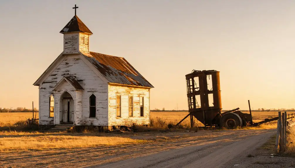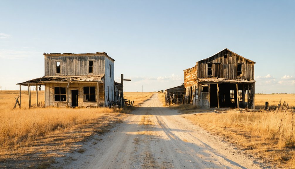
Planning a ghost town road trip to Avoca, Oklahoma means trading polished tourist stops for raw, unfiltered history. You’ll navigate unpaved county roads in southeastern Pottawatomie County, using GPS coordinates and nearby Asher as your guide. What you’ll find is a quiet cemetery, the Avoca Church of Christ, and scattered remnants slowly reclaimed by nature. There’s no signage, no visitor center—just honest, layered history waiting to be discovered. Keep going, and you’ll uncover everything you need to make this trip worth every mile.
Key Takeaways
- Avoca sits in southeastern Pottawatomie County near Asher; enter coordinates 35.01397° N, 96.93058° W into GPS before departing.
- Expect narrow, unpaved county roads with sparse signage; bring a reliable offline map and drive slowly.
- Key surviving landmarks include the Avoca Church of Christ, a cemetery, and scattered homes reclaimed by nature.
- No visitor centers or signage exist; respect private property boundaries and view sites from outside designated areas.
- Extend your trip by visiting nearby ghost towns like Violet Springs, Earlsboro, Maud, and Wanette for broader context.
What Was Avoca, Oklahoma?
Once a small but lively settlement in southeastern Pottawatomie County, Avoca, Oklahoma, started its life in the mid-1800s under the name Wewaukee Springs — a Seminole word meaning “tumbling water.” Both Seminole Indians and white settlers called the area home, and the community grew enough to support its own post office by 1894.
Today, Avoca sits west of Asher, its coordinates quietly preserved on maps at roughly 35.01397° N, 96.93058° W. The town’s historical landmarks — a church, cemetery, and scattered homes — still anchor the site, giving you tangible proof that a real community once thrived here.
Local legends tied to its Seminole roots and frontier settler life add rich texture to its story, making Avoca far more than just another forgotten dot on an Oklahoma county road map.
Why Did Avoca, Oklahoma Become a Ghost Town?
Like many small Oklahoma towns, Avoca didn’t fade quietly on its own — it was pulled apart by forces it couldn’t control.
In 1901, historical railroads reshaped the region when a new line known as “Old Beck” extended from Shawnee to Asher, a community just south of Avoca. That connection gave Asher economic momentum Avoca simply couldn’t match.
Postal decline followed fast. Postmaster George A. McCurry relocated the post office and his store to Asher without government approval, taking the town’s civic anchor with him.
By August 1903, a local newspaper declared Avoca “about abandoned.” The post office closed permanently in 1906.
Once the railroad bypassed your town and the mail stopped coming, there wasn’t much reason left to stay.
Where Is Avoca, Oklahoma Located Today?
You’ll find Avoca tucked into southeastern Pottawatomie County, Oklahoma, within Avoca Township just west of present-day Asher.
If you’re mapping the site, plug in coordinates 35.01397° N, 96.93058° W to pinpoint the location with precision.
County roads connect you to the area, and Asher makes a natural nearby reference point since it’s the community that ultimately absorbed Avoca’s post office and commercial life.
Pottawatomie County Exact Location
Tucked into the southeastern corner of Pottawatomie County, Oklahoma, Avoca sits west of present-day Asher in Avoca Township, with its location mapped at approximately 35.01397° N, 96.93058° W. If you’re road-tripping through rural Oklahoma, those coordinates give you a reliable starting point for finding what little remains.
The site’s historical demographics tell a layered story — early Seminole inhabitants and white settlers once shared this land before it grew into a recognized community.
Avoca’s postal service history anchors its civic timeline, with a post office operating from 1894 until its permanent closure in 1906.
Today, county roads lead you through quiet farmland toward a church, cemetery, and scattered homes — the last physical evidence that Avoca ever existed as a living, functioning town.
Coordinates And Mapping
Knowing the county places Avoca on the map in a general sense, but the coordinates pin it down exactly. You’ll find the site at approximately 35.01397° N, 96.93058° W, sitting west of present-day Asher in Avoca Township.
Pull up any satellite map and you’ll spot the surviving remnants — the Avoca Church of Christ stands as the area’s most visible historical architecture, anchoring a landscape that time has quietly reclaimed.
Local folklore surrounding the town’s Seminole origins and its sudden abandonment adds weight to what you see on the ground. These coordinates give you a precise launching point for exploring that story firsthand.
Load them into your GPS before you hit the county roads, and you’ll reach the site without guessing.
Nearby Communities And Roads
Asher is the closest living community to Avoca’s former site, sitting just east of where the old town once operated in Avoca Township, southeastern Pottawatomie County. When you’re planning your route, Shawnee lies to the northwest and serves as a practical base for your road trip.
County roads connect these rural points, so you’ll want a reliable map before heading out. Asher itself rewards a stop — its historical architecture reflects the same railroad-era boom that pulled settlers away from Avoca in 1901.
Locals there carry local legends about George McCurry’s unauthorized move of the post office and store, a story that shaped both towns. Drive the back roads slowly, read the landscape, and you’ll piece together exactly why Avoca faded while Asher survived.
How Do You Reach Avoca on Oklahoma Back Roads?
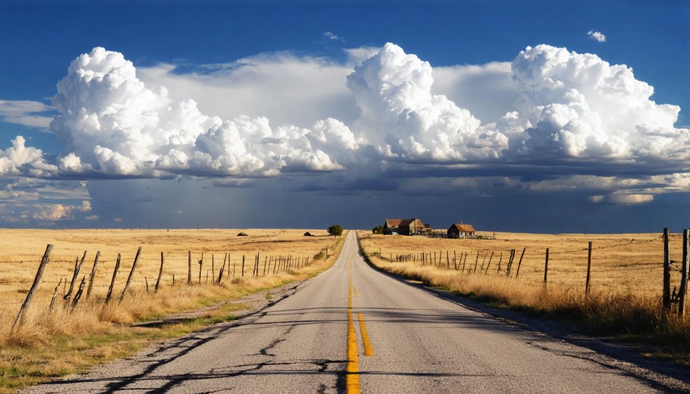
You can pin Avoca’s coordinates — approximately 35.01397° N, 96.93058° W — directly into your GPS before heading out on Pottawatomie County’s rural back roads.
The drive isn’t complicated once you use the nearby town of Asher as your landmark, since Avoca sits just west of it along the county road network.
Keep your eyes open, slow your speed, and expect narrow gravel roads rather than well-marked highways guiding you to the site.
Finding Avoca’s Exact Coordinates
Finding Avoca on a map takes a bit of old-fashioned detective work, but the coordinates 35.01397° N, 96.93058° W pin the site precisely in southeastern Pottawatomie County. Plug those numbers into your GPS or mapping app before you leave, because road signs won’t guide you here.
The site sits west of Asher in Avoca Township, tucked along county roads that reward curious travelers willing to navigate rural Oklahoma on their own terms.
Once you arrive, you’ll find community landmarks that speak to quiet historical preservation — the Avoca Church of Christ, a cemetery, and a handful of homes still standing. These remnants won’t announce themselves dramatically, so knowing your exact destination ahead of time transforms an aimless drive into a purposeful, rewarding ghost-town stop.
Navigating County Back Roads
Once you’ve locked in those coordinates, the next step is figuring out how to actually get there — and that means making peace with Oklahoma’s rural county road grid. Pottawatomie County’s back roads aren’t always paved, and signage gets sparse fast. You’ll want a reliable GPS app loaded with offline maps before you leave town.
Position yourself west of Asher and navigate toward the 35.01397° N, 96.93058° W marker using section-line roads that cut through open farmland. Drive slowly — historical preservation of what little remains depends partly on visitors respecting private property boundaries.
Community reconstruction efforts here are minimal, so don’t expect posted markers guiding your way. The freedom you’re after comes from self-directed exploration, so embrace the uncertainty and let the landscape tell Avoca’s quiet, fading story.
Nearby Asher As Landmark
Asher makes the most practical landmark when you’re plotting your approach to Avoca’s former townsite. This small community absorbed Avoca’s post office and commercial activity after the railroad arrived in 1901, making it central to understanding local history.
Navigate west from Asher along county roads to reach Avoca’s community remnants.
Use these orientation points before heading out:
- Asher sits directly south of where Avoca once stood
- County roads connect the two sites across flat Oklahoma terrain
- No preserved townsite greets you — expect scattered rural landscape
- The Avoca Church of Christ and cemetery serve as your clearest physical targets
Keep Asher’s water tower or main street visible as a reference point while you navigate, so you don’t lose your bearings on unmarked rural roads.
What’s Still Standing at the Avoca, Oklahoma Site?
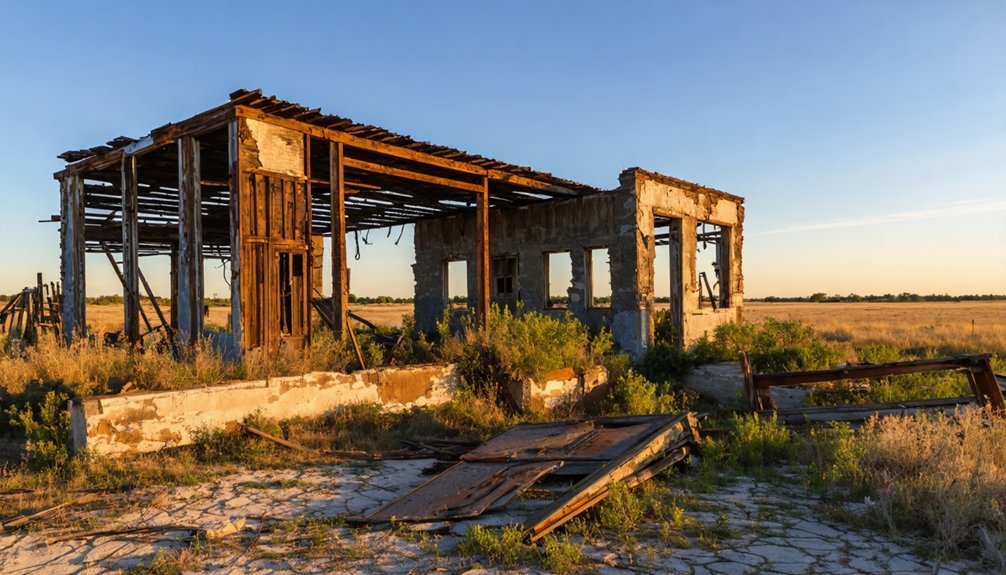
Though Avoca has faded from the map, a few remnants still anchor the site to its past. You’ll find the Avoca Church of Christ still standing, a quiet symbol of historic preservation in a place most people have forgotten. The cemetery remains accessible and holds community memories stretching back to the settlement’s earliest days.
A handful of homes also survive near the former townsite.
Don’t expect a preserved commercial district or marked buildings. What you’re walking into is raw, honest history. Bring a camera, respect the grounds, and take time to read the headstones.
These remnants won’t wow you with grandeur, but they’ll connect you directly to the people who built something here, watched it fade, and left these few traces behind.
Is Asher Worth Adding to Your Avoca Visit?
Why stop at Avoca when the town that replaced it sits just a short drive away? Asher absorbed Avoca’s post office, its commerce, and its people after the railroad arrived in 1901. Adding Asher to your route deepens the community stories you’ve already started exploring.
Here’s what Asher brings to your visit:
- Railroad roots — the “Old Beck” line from Shawnee made Asher while erasing Avoca
- Historical preservation efforts that document the region’s rural past
- Context for Avoca’s decline — seeing what won helps explain what disappeared
- A functioning town offering fuel, food, and local conversation
Pairing both stops turns a single ghost town detour into a complete, freedom-driven exploration of how Oklahoma’s small communities rose, shifted, and survived on their own terms.
What Should You Know Before Visiting Avoca, Oklahoma?
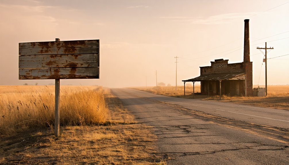
Before you load up the car and head out to Avoca, a little groundwork saves you from arriving unprepared at a site that’s more historical whisper than preserved townsite. Avoca sits in southeastern Pottawatomie County near 35.01397° N, 96.93058° W, west of Asher along county roads that reward patient navigation.
The historical landmarks here are modest — the Avoca Church of Christ, a cemetery, and scattered homes. Don’t expect signage or a welcome center. The cultural significance lives in the story itself: a railroad bypass, an unauthorized post office move, and a town quietly swallowed by progress after 1901.
Respect private property, stick to exterior viewing, and pair your stop with nearby Asher to fully understand what Avoca lost and where its community ultimately landed.
Which Oklahoma Ghost Towns Pair Best With Avoca?
Since Avoca pairs naturally with Asher as a starting point, you can build a rewarding ghost town circuit through Pottawatomie County and the surrounding region by adding stops at other vanished or diminished Oklahoma communities that share Avoca’s story of railroad bypasses, post office closures, and rural decline. These stops deepen your understanding of historical preservation and keep community memories alive:
- Violet Springs – another Pottawatomie County settlement that faded after transportation shifted
- Earlsboro – a nearby town whose boom-and-bust arc mirrors regional patterns
- Maud – offers surviving architecture worth examining alongside its decline story
- Wanette – a diminished community with cemetery access and historical context
Each stop adds texture to your road trip, connecting Avoca’s story to Oklahoma’s broader rural transformation.
Frequently Asked Questions
What Does the Seminole Word “Wewaukee” Mean in English?
“Wewaukee” means “tumbling water” in the Seminole language! You’ll discover this incredible Native American origin story echoes through history — a breathtaking proof to the people who once called this land their cherished, free home.
When Did Avoca’s Post Office First Open to the Public?
You’ll find that Avoca’s post office first opened on August 4, 1894! When exploring these ghost town attractions, you’re uncovering rich history. Remember your travel safety tips — plan your county road routes carefully before venturing out!
Who Moved the Avoca Post Office Without Government Permission?
In 1901, postmaster George A. McCurry moved it without permission — fueling post office relocation rumors. He relocated his store too! You’ll appreciate how this single act sparked ghost town preservation efforts, sealing Avoca’s fate forever.
What Railroad Line Contributed Directly to Avoca’s Rapid Decline?
You’ll find that the “Old Beck” railroad line directly caused Avoca’s railroad decline. It stretched from Shawnee to Asher in 1901, creating an economic impact that pulled commerce away, leaving Avoca abandoned and forgotten.
What GPS Coordinates Mark the Historical Avoca, Oklahoma Townsite?
You’ll find Avoca’s historical landmarks at 35.01397° N, 96.93058° W—your ghost town exploration starts here! Navigate these coordinates to discover the church, cemetery, and few remaining homes marking this once-thriving Oklahoma community’s fascinating past.
References
- https://kids.kiddle.co/Avoca
- https://sites.rootsweb.com/~okpcgc/towns/avoca.html
- https://en.wikipedia.org/wiki/List_of_ghost_towns_in_Oklahoma
- https://www.fairburynews.net/post/the-ghost-town-of-avoca
- https://www.okhistory.org/publications/enc/entry?entry=GH002
- https://en.wikipedia.org/wiki/Avoca_Township
- https://zh.wikipedia.org/wiki/阿沃卡_(奧克拉荷馬州)
- https://mapcarta.com/21404984
- https://sites.rootsweb.com/~okpcgc/towns/boyer.html
- https://www.travelok.com/articles/oklahomaghosttowns