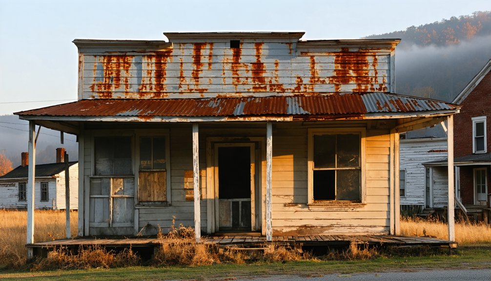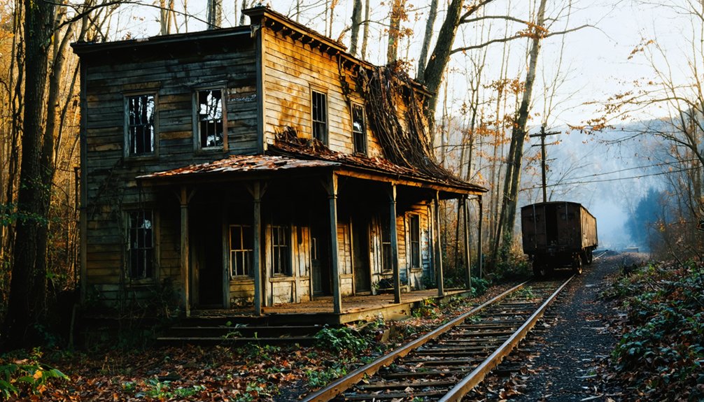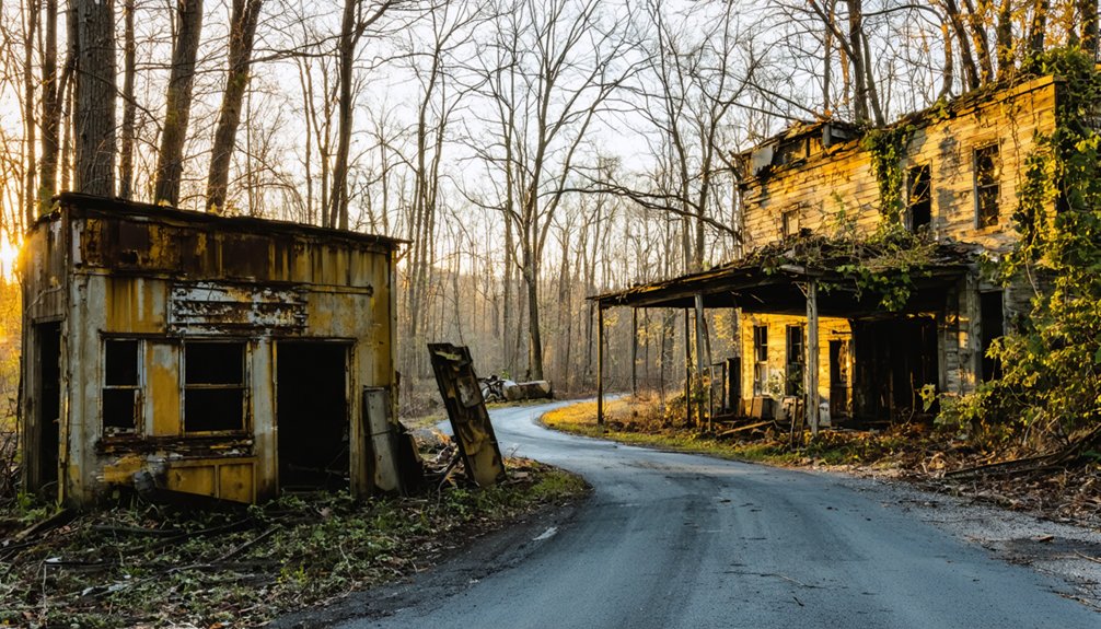
Planning a ghost town road trip to Kyrock, Kentucky means exploring what was once the world’s largest natural rock asphalt producer, supporting nearly 2,000 residents at its peak. You’ll find concrete foundations, a historic swinging footbridge over Pigeon Creek, and a roadside marker telling the town’s story. Start your drive from Brownsville, head north on Hwy 259 N., and pair the visit with Mammoth Cave for a full day. There’s more to uncover about this fascinating forgotten community.
Key Takeaways
- Kyrock, located in Edmonson County, Kentucky, was a company town established in 1918 and disincorporated in 1966 after its rock asphalt industry declined.
- The site features concrete foundations, a swinging footbridge, and a historical marker accessible via Hwy 259 N., near Kyrock Elementary School in Sweeden.
- Bring water, snacks, sturdy shoes, a camera, and offline maps, as cell service may be limited in the area.
- Combine your visit with nearby attractions like Mammoth Cave National Park and the scenic Nolin River corridor for a full-day trip.
- Use Brownsville, five miles south-southwest of Kyrock, as your base for meals, featuring casual Kentucky comfort food restaurants.
What Is Kyrock and Why Visit This Kentucky Ghost Town?
Tucked into the hills of Edmonson County in south-central Kentucky, Kyrock is a ghost town that most travelers drive right past without knowing it ever existed. Once a thriving company town built by the Kentucky Rock Asphalt Company in 1918, it supported nearly 2,000 residents at its peak.
You’ll find community stories here that textbooks rarely capture — a full industrial settlement complete with a hospital, theater, school, and church, all built around natural rock asphalt production. When petroleum-based asphalt made the operation obsolete, Kyrock quietly disappeared.
Visiting connects you directly to cultural preservation efforts that keep this forgotten chapter alive through historical markers and surviving place names. If you value discovering history on your own terms, Kyrock rewards the curious traveler willing to look closer.
How Kyrock Went From Industrial Boomtown to Ghost Town
When the Kentucky Rock Asphalt Company relocated its plant to the Nolin River site in 1918, it didn’t just build a quarry — it built an entire world. Housing camps, a hospital, theater, church, school, and railroad all rose from Kentucky soil, supporting nearly 2,000 people at peak operation.
Kyrock’s industrial legacy stretched globally, making it the world’s largest natural rock asphalt producer from 1920 to 1957. Then petroleum-based asphalt arrived — cheaper, easier, and impossible to compete with.
The plant shut down, residents scattered, and the town disincorporated in 1966.
What you’ll find today are community remnants: foundations, a historical marker, and a swinging footbridge base over Pigeon Creek. The roads you drive on may owe more to Kyrock than you’d ever guess.
What You’ll Actually See at the Kyrock Site Today
When you visit the Kyrock site today, you won’t find much standing, but what remains still tells the story.
The most striking survival is the concrete foundation of a swinging footbridge that once crossed Pigeon Creek, giving you a tangible connection to the town’s working past.
A historical marker near Hwy 259 N. in Sweeden fills in the gaps, interpreting the site’s industrial legacy and the community that once thrived there.
Surviving Physical Remains
Though little remains of Kyrock’s once-bustling company town, what you’ll find at the site still tells a compelling story. The most striking surviving feature is the concrete foundation of a swinging footbridge that once crossed Pigeon Creek. It’s a small but tangible artifact preservation win in an otherwise stripped landscape.
A historical marker anchors the site and delivers the context you need to visualize what stood here. Beyond that, foundations peek through the vegetation, hinting at the scale of a community that once housed 2,000 people.
Site accessibility is straightforward — you’re not navigating restricted land or rough backcountry. The open, drivable approach means you can explore on your own terms, stop when you want, and move on without a guided tour or admission fee.
Historical Marker Details
The historical marker standing near Kyrock Elementary School on Hwy 259 N. in Sweeden is your clearest window into what this site once was. It captures the essential story — a company town that rose from raw ambition, industrial architecture, and natural rock asphalt pulled straight from the earth.
You’ll read about the Kentucky Rock Asphalt Company’s dominance, the 2,000 residents who once lived here, and the community infrastructure that rivaled much larger towns. Town legends about Kyrock’s booming peak feel more grounded once you’re standing at that marker, reading the details yourself.
It won’t take long to absorb, but it gives your visit real context. Pair it with what’s left on the ground, and you’ll leave understanding exactly why Kyrock deserves a spot on your road trip.
How to Get to Kyrock, Kentucky
Tucked into south-central Kentucky’s Edmonson County, Kyrock sits about five miles north-northeast of Brownsville and roughly 2.4 miles east of Sweeden — making Brownsville your most practical anchor point for navigation.
From Brownsville, head north and follow the local roads toward Sweeden, keeping an eye out for Hwy 259 N., where the Kyrock Elementary School serves as a reliable landmark.
The historical marker sits nearby, giving you a defined stopping point before you explore the surrounding area.
You’ll find scattered abandoned structures and foundations once you venture off the main road — remnants that fuel local legends about the town’s industrial peak.
Cell service can be spotty, so download an offline map before you leave.
The drive itself winds through quiet, scenic countryside worth savoring.
How Kyrock Became the World’s Top Natural Rock Asphalt Producer
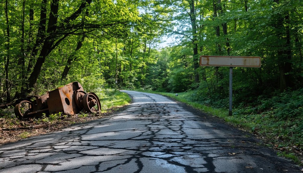
When you dig into Kyrock’s industrial roots, the rise makes sense fast. The Kentucky Rock Asphalt Company formed in 1917 through a merger of two mining and paving firms, then relocated its plant to this Edmonson County site in 1918. That move triggered rapid industrial evolution.
The company operated eight quarries alongside a full processing facility, extracting natural rock asphalt — a bituminous sandstone requiring no heating before road application. Steamboats and barges hauled materials along the Nolin and Green Rivers, keeping supply chains moving efficiently.
What to Pack Before You Drive Out to Kyrock
Packing smart before you head to Kyrock saves you from turning a good road trip stop into a frustrating one. The site sits in rural Edmonson County with no services nearby, so bring water, snacks, and a charged phone.
Wear sturdy shoes since you’ll be walking uneven ground around old foundations. Pack a camera because the concrete footbridge remnants and historical marker deserve documentation.
If you’re chasing local legends or ghost stories tied to this vanished company town, bring a notebook to record details from the marker and your own observations.
A physical map helps since cell coverage can be spotty. Arriving with afternoon light gives you better visibility across the site and makes the whole stop feel less rushed.
Historic Sites Near Kyrock and Other Kentucky Ghost Towns
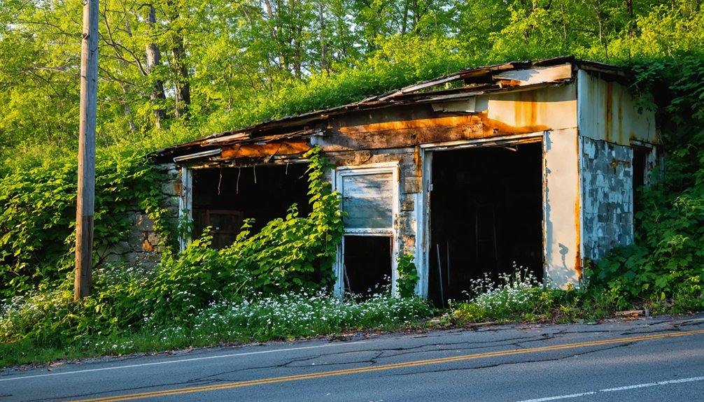
Once you’ve packed up and pulled out of Kyrock, you’re already in one of Kentucky’s richest corridors for industrial history and vanished communities. Mammoth Cave National Park sits nearby, anchoring preservation efforts across the region and drawing attention to the stories embedded in surrounding communities.
Leaving Kyrock means stepping into one of Kentucky’s richest corridors for industrial history and vanished communities.
Local legends tied to company towns, river trade, and vanished industries thread through every hollow you’ll pass. Push south toward Brownsville and you’ll find Edmonson County’s courthouse square worth a stop.
Explore further and you’ll encounter other ghost towns scattered across south-central Kentucky, each carrying remnants of boom-and-bust cycles. The Green River corridor alone holds layers of forgotten industrial history.
This stretch of Kentucky rewards curious travelers who move slowly, read every marker, and aren’t afraid to turn down unmarked roads.
How to Build a Full Day Trip Around Kyrock
You can stretch your Kyrock visit into a full day by pairing it with nearby ghost town stops like Slab Town and the remnants of other Edmonson County industrial sites. All of these are reachable by scenic routes through Mammoth Cave country on Hwy 259.
Take the long way around through Brownsville or Sweeden to catch roadside historical markers and rural backroads that reward slow driving.
When hunger hits, you’ll find your best options in Brownsville, where local diners and small-town spots keep you fueled without pulling you too far off your route.
Nearby Ghost Town Stops
Since Kyrock makes for a fairly compact stop, pairing it with other nearby ghost towns and historic sites turns the visit into a full day of Kentucky road tripping. The region holds layers of vanished communities worth exploring, and preservation efforts have kept some stories alive through markers and local archives. Urban legends surrounding abandoned company towns add an extra edge to the journey.
Consider adding these stops to your route:
- Mammoth Cave National Park – Just minutes away, it anchors the region’s deeper history underground.
- Brownsville – A quiet county seat with historic architecture and courthouse records connecting to Kyrock’s past.
- Nolin River corridor – Follow the waterway that once moved Kyrock’s asphalt by barge toward broader Kentucky markets.
Best Routes To Take
Building a route around Kyrock takes only a little planning, and the payoff is a genuinely rewarding loop through south-central Kentucky’s industrial past.
Start in Brownsville, heading north on Hwy 259 N. toward Sweeden, where you’ll spot the Kyrock Elementary School serving as a quiet nod to community remnants still carrying the town’s name.
Pull over at the historical marker to absorb the story of industrial decline that shuttered this once-thriving company town by 1957.
From there, swing toward Mammoth Cave National Park, which sits within easy driving distance, giving your day a natural contrast to Kyrock’s vanished industry.
The Nolin River corridor ties the landscape together beautifully.
You can complete the entire loop comfortably in a single day without backtracking.
Where To Eat Nearby
Brownsville serves as your best base for a meal before or after exploring Kyrock, sitting just five miles south-southwest of the ghost town site.
Small roadside diners around Edmonson County give you honest local cuisine without pretense.
- Brownsville’s downtown area offers casual spots serving Kentucky comfort food, ideal for refueling after a morning of ghost town exploration.
- Cave Country restaurants near Mammoth Cave National Park, roughly 15 miles away, expand your dining options considerably.
- Pack your own food for a riverside picnic near the Nolin River, keeping your schedule completely flexible.
Planning your meals around Brownsville lets you move freely, combining history, landscape, and good food into one uninterrupted day built entirely on your own terms.
Frequently Asked Questions
Is There a Fee to Access the Kyrock Ghost Town Site?
You’ll find no fee to explore Kyrock’s ghost town site! Historical preservation efforts keep it freely accessible, though visitor amenities are minimal — just open land, foundations, and a historical marker awaiting your discovery.
Are Pets Allowed When Visiting the Kyrock Historical Area?
No official pet policies or animal restrictions are documented for Kyrock’s historical area. You’re visiting an open, rural ghost town site, so you’ll likely enjoy exploring freely with your leashed furry companion alongside you!
Is the Kyrock Site Accessible for Visitors With Mobility Limitations?
The Kyrock site doesn’t offer formal accessible pathways or wheelchair facilities, but you’ll find open terrain worth exploring. You can still view the historical marker and concrete bridge foundation remnants with relative ease during your visit.
Can You Legally Collect Rock Asphalt Samples at the Kyrock Site?
Freedom has limits—you shouldn’t assume rock sampling is permitted at Kyrock. Legal restrictions likely apply since it’s private or protected land. Always check with local authorities before collecting any natural rock asphalt samples there.
Is the Kyrock Site on Public or Privately Owned Land?
The knowledge doesn’t confirm whether Kyrock’s land is publicly or privately owned, so you’ll want to research that before visiting. Its historical significance and preservation efforts make respecting ownership boundaries essential for responsible exploration.
References
- https://en.wikipedia.org/wiki/Kyrock
- https://www.wnky.com/throwback-thursday-the-ghost-town-of-kyrock-the-boomtown-that-once-was/
- https://www.youtube.com/watch?v=D9gOmfCuKLs
- https://history.ky.gov/markers/kyrock
- https://wbkr.com/visit-these-20-creepy-kentucky-ghost-towns-for-a-halloween-road-trip/
- https://en.wikipedia.org/wiki/List_of_ghost_towns_in_Kentucky
- http://littlejackypaper.blogspot.com/2012/03/commencing-assessment-of-cultural.html
- https://en.wikipedia.org/wiki/Category:Ghost_towns_in_Kentucky
- https://www.kyatlas.com/ky-kyrock.html