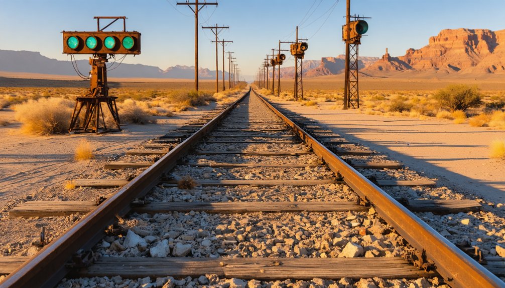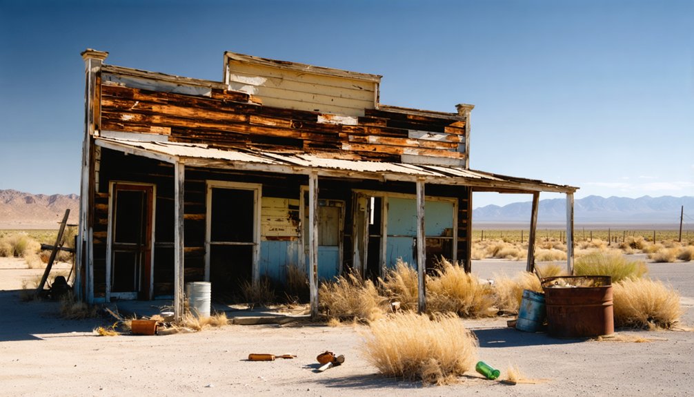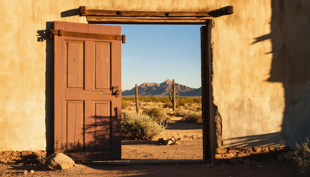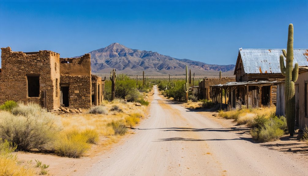
Planning a ghost town road trip to Washington Camp starts in Patagonia, where you’ll fuel up—it’s your only chance before heading out on 45 miles of rugged Southern Arizona mountain roads. You’ll pass through five historic sites, including Harshaw, Mowry, and Washington Camp itself, once the largest community south of Patagonia. Watch for open mine shafts, pack plenty of water, and bring a paper map. There’s far more to this loop than you’d expect.
Key Takeaways
- The Ghost Town Loop covers ~45 miles of Southern Arizona mountain roads, starting in Patagonia and passing five historic sites.
- Top off fuel in Patagonia before departing, as the town’s only gas station has limited hours and no fuel exists along the route.
- The first seven miles of Harshaw Road are paved; the remainder transitions to dirt and gravel, manageable in 2WD on main routes.
- Open mine shafts near Mowry have no fencing, requiring extra caution, especially when traveling with children or pets.
- Lochiel offers a striking side trip to the Mexican border, while Red Mountain Viewpoint provides sweeping panoramic vistas along the route.
Washington Camp and the Five Ghost Towns on This Loop
If you’re chasing Arizona’s mining history through the backcountry, the Ghost Town Loop delivers five historic sites packed into roughly 45 miles of Southern Arizona’s rugged mountain roads. You’ll roll through Harshaw, Mowry, Washington Camp, Duquesne, and Lochiel — each carrying remnants of a more prosperous era.
Washington Camp once stood as the largest community south of Patagonia, and its historical architecture still rewards curious travelers with worthwhile photography opportunities.
Mowry offers a striking stone building with all four walls intact, framed by dramatic scenic viewpoints across the surrounding terrain.
Most structures sit on private land, so you’re experiencing this loop from the road rather than on foot. That said, the drive alone makes the journey absolutely worth your time.
Fill Up in Patagonia Before You Leave Town
Before you head out, top off your tank in Patagonia — it’s your only chance, as there’s no fuel available anywhere along the route. The town has just one gas station, so you’ll want to check its hours ahead of time to avoid an unwelcome surprise.
Stock up on supplies while you’re at it, because once you hit the road, you’re on your own.
Only One Gas Station
Patagonia has only one gas station, and it operates on limited hours — so you’ll want to top off your tank before heading out on the Ghost Town Loop. Missing that window means you’re stuck on 45 miles of remote mountain roads without fuel, which isn’t the kind of freedom you’re after.
Stock up on water, snacks, and any supplies you’ll need, because once you leave town, you’re on your own. The open terrain rewards you with unexpected wildlife encounters and stunning photography opportunities around every bend, but only if you’ve planned ahead.
Check the station’s hours the night before, fill up early, and hit the road knowing you’re fully prepared to explore at your own pace.
Limited Hours Apply
That single gas station in Patagonia keeps limited hours, so timing your fill-up matters more than you might expect. Don’t assume it’ll be open when you’re ready to roll — check ahead and fuel up before hitting Harshaw Road. Once you leave town, you’re committed to the full loop with no backup plan.
- Fill your tank completely before turning onto Taylor Avenue — there’s zero fuel access near the historical architecture of Washington Camp or Mowry.
- Grab water and snacks simultaneously, since no convenience stops exist between Patagonia and Lochiel.
- Plan your departure early so you reach scenic viewpoints like Red Mountain with plenty of daylight remaining.
Your freedom on this road depends entirely on the preparation you make before leaving Patagonia’s limits.
No Fuel Along Route
Once you turn onto Taylor Avenue and leave Patagonia behind, there’s no fuel anywhere along the 45-mile Ghost Town Loop — not near Harshaw, not at Washington Camp, and certainly not at the remote junction where FR 49 meets Duquesne Road.
You’re trading civilization for freedom, and that trade has real costs.
Fill your tank completely before departure. Wildlife encounters can slow your progress unexpectedly, and stopping to photograph scenic viewpoints — including the recommended Red Mountain overlook — burns both time and fuel.
Running low in these mountains isn’t romantic; it’s dangerous.
Patagonia’s single gas station operates on limited hours, so don’t assume it’ll be open when you’re ready to roll. Check the hours the night before, fuel up early, and leave town fully prepared.
Turn-by-Turn Directions Through the Ghost Town Loop
Your ghost town adventure kicks off in Patagonia, where you’ll turn left onto Taylor Avenue near the high school. Then head east on Harshaw Road after just one block.
The first seven miles of Harshaw Road are paved before shifting to dirt and gravel, guiding you roughly eight miles southeast to the historic mining site at Harshaw.
From there, you’re only four miles south of Washington Camp, following FR 49 past the Duquesne Road junction to reach the heart of the loop.
Starting From Patagonia
Whether you’re a seasoned road tripper or a first-time ghost town explorer, the journey begins in Patagonia, Arizona — so fuel up and grab your supplies before hitting the road, because there are no gas stations along the route.
Turn left on Taylor Avenue near Patagonia’s high school.
Then head east on Harshaw Road after one block.
The first seven miles are paved, giving you time to appreciate the flora diversity and watch for wildlife sightings before the road turns to dirt.
- Turn left on Taylor Avenue near Patagonia’s high school
- Head east onto Harshaw Road after one block on Taylor Avenue
- Enjoy seven paved miles before shifting to scenic dirt roads toward Harshaw
Navigating The Loop
As the pavement gives way to gravel, you’ll pass through Harshaw — a small historic mining site about 8 miles southeast of Patagonia.
Before continuing 4 miles south to Washington Camp, just beyond the FR 49 and Duquesne Road junction. Signs along FR 61 clearly point toward Washington Camp and Lochiel, keeping navigation straightforward.
Watch for wildlife encounters along the dirt stretches, as desert animals frequently cross these remote roads. Near Mowry, a deep ravine and unfenced mine shafts demand caution — hike carefully if you venture off the main road.
After Lochiel, the road turns paved, connecting you to Interstate 19 for the return trip. Before heading back, stop in Patagonia to sample local cuisine and recharge after the day’s adventure.
What the Roads Actually Look Like From Patagonia to Lochiel
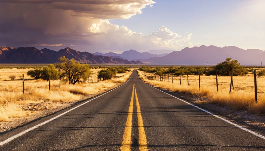
From Patagonia, the road starts civilized enough — the first seven miles of Harshaw Road are paved, giving you a smooth, confidence-building stretch before the pavement gives way to dirt and gravel.
After that changeover, you’re steering through raw Southern Arizona terrain, winding past historical architecture and rugged scenic viewpoints that reward patient drivers.
Here’s what to expect on the road:
- Harshaw Road turns to dirt after mile seven — manageable in a standard 2WD vehicle if you stay on the main route
- FR 61 signs clearly mark directions toward Washington Camp and Lochiel, keeping orientation straightforward
- Past Lochiel, pavement returns, connecting you to Interstate 19 for a comfortable ride back
The road demands attention but delivers scenery you won’t find on any highway.
Open Mine Shafts, No Fuel, and Other Hazards to Know First
Before you turn off that paved road, know what you’re heading into. Mining safety isn’t optional out here — open mine shafts near Mowry drop without warning, and there’s no fence stopping you or your dog from finding one the hard way. Keep kids close and pets leashed.
Open mine shafts near Mowry drop without warning. No fence. No second chances.
Road hazards shift fast too. Dirt and gravel sections get rough, and side roads near ruins deteriorate within yards. Don’t push your luck off the main route.
Fuel is your biggest logistical threat. No gas exists along the loop, and Patagonia’s single station runs limited hours. Fill your tank before you leave town, no exceptions.
Pack water, snacks, and a paper map. Freedom out here rewards preparation — and punishes assumptions.
Side Trips Worth Adding Before You Return to Patagonia
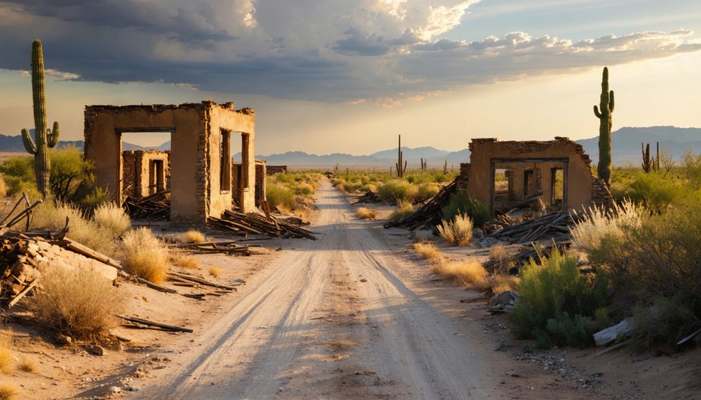
Once the hazards are handled and you’ve found your footing on the route, the loop rewards you with a few detours worth taking. Before heading back to Patagonia, stretch your trip with stops that highlight local wildlife, scenic viewpoints, and deep history.
- Red Mountain Viewpoint – Pull over for sweeping vistas before the return drive; it’s one of the better scenic viewpoints along the entire loop.
- Lochiel and the Mexican Border – Just past Lochiel, you can drive to the border itself, a quietly striking experience in a remote setting.
- Fray Marcos De Niza Monument – Spot this historical landmark along FR 61 near Washington Camp; it connects the landscape to centuries of exploration.
Each stop adds texture without adding significant drive time.
Frequently Asked Questions
Is Camping Allowed Overnight Near Washington Camp or Along the Loop?
Ironically, the knowledge doesn’t cover camping regulations or overnight permits along the loop. You’ll want to contact local Arizona land management authorities directly to confirm whether you can freely camp near Washington Camp overnight.
What Is the Best Time of Year to Visit Washington Camp?
Spring and fall offer the best travel months for your visit! You’ll enjoy mild seasonal weather, perfect for exploring dusty roads and photographing ghostly remnants without scorching summer heat or unpredictable winter storms slowing your adventure.
Are There Any Guided Tours Available for the Ghost Town Loop?
Ironically, for a place steeped in historical preservation, no guided tour options exist for the Ghost Town Loop. You’re gloriously on your own — grab a map, fuel up in Patagonia, and freely explore Arizona’s rugged mining heritage yourself!
Can You Spot Wildlife Along Harshaw Road During the Drive?
You’ll likely spot roadside animals along Harshaw Road, making wildlife observation a natural highlight! Keep your eyes open for deer, birds, and reptiles as you’re driving through Southern Arizona’s rugged, stunning landscape.
Is Cell Phone Service Available Throughout the Ghost Town Loop Route?
Don’t count on cell coverage throughout the Ghost Town Loop! Signal strength drops considerably in these remote Arizona mountains. You’ll want to download offline maps and inform someone of your route before you head out.
References
- https://www.thedieselapartment.com/scenic-drive-arizona-ghost-town-loop/
- https://www.legendsofamerica.com/az-patagoniaghosts/
- https://www.westernoutdoortimes.com/story/2020/03/01/rving/arizona-ghost-town-loop/4152.html
- https://www.youtube.com/watch?v=yxVEe2V-H1A
- https://www.youtube.com/watch?v=9BhwcBJdVLk