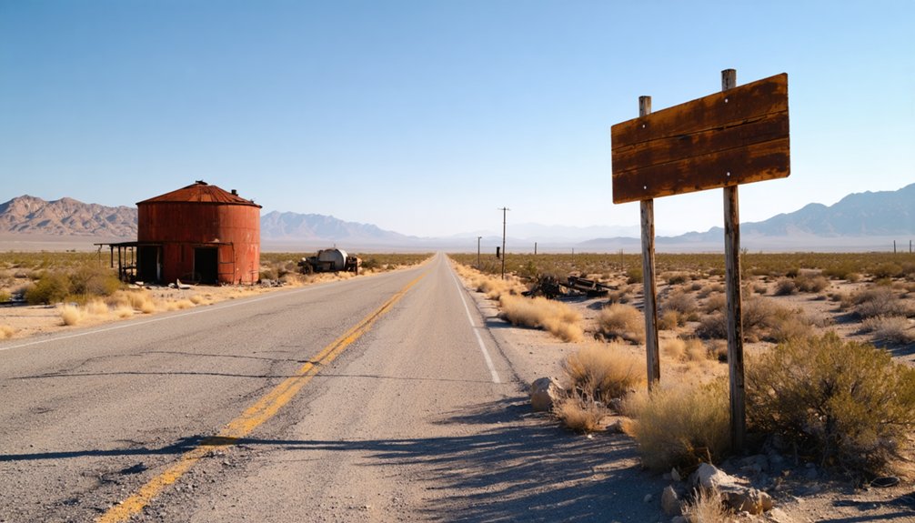
To plan your ghost town road trip to Water Station, California, start in Barstow and head northeast on I-40 through San Bernardino County’s Mojave Desert. Stop at Yermo for supplies, explore Calico Ghost Town‘s preserved mining structures, and push east through Cadiz before the road narrows into raw desert terrain. Pack water, a paper map, and emergency gear—cell service vanishes fast out here. Keep going, and you’ll uncover everything this haunting desert landscape has to offer.
Key Takeaways
- Water Station, California, is a remote Mojave Desert ghost town best experienced as part of a larger road trip from Barstow via I-40 East.
- Key stops include Calico Ghost Town, Cadiz, Yermo, and Amboy, each offering historical mining and railroad relics along the route.
- Pack at least one gallon of water per person daily, extra fuel, a paper map, and emergency supplies before departing.
- Spring and fall offer the most favorable travel conditions; summer temperatures exceeding 110°F demand extra precautions and avoiding midday travel.
- Water Station has no managed entry or visitor facilities, offering an authentic, solitary arrival experience among crumbling foundations and desert silence.
What Is Water Station, California?
Although it never grew into a full-fledged town, Water Station, California earned its place on the map as one of the desert’s quiet necessities — a stop built around survival rather than settlement. Tucked within San Bernardino County’s vast Mojave landscape, it served railroad lines and desert travelers who couldn’t afford to run dry.
Today, you’ll find echoes of that practical past scattered across the region — vintage signage weathered by decades of sun, and desert flora pushing through cracked earth where structures once stood.
It’s not a polished destination with a visitor center and gift shop. It’s a fragment of California’s transportation and water history, best understood when you treat it as a waypoint on a larger desert road trip rather than a standalone stop.
Railroad Water Stops That Built the Mojave Desert
When you trace the history of the Mojave Desert, you quickly find that railroads didn’t run on steam alone — they ran on water. Every locomotive crossing the desert needed regular refilling, so rail companies built dedicated water stops at strategic intervals along the route.
Cadiz, a small unincorporated community in San Bernardino County, served exactly that purpose, supplying passing trains and anchoring a fragile chain of desert survival points.
Rails Required Water Access
Before steam locomotives could cross the Mojave Desert, railroad companies had to solve a problem that shaped every mile of track they laid: water. Steam engines consumed enormous quantities, and the desert offered almost none. So companies built water stations at calculated intervals, each one a lifeline keeping trains moving across the brutal landscape.
These stops weren’t just functional — they became communities. Workers settled near the tanks and supply depots, and local legends grew around the isolated outposts where life balanced on a single pipe or well.
Some stations left behind historical architecture you can still trace today, crumbling foundations and rusted hardware hinting at the logistics empire that once ran beneath the open sky.
Water didn’t just support the railroad. It decided where civilization briefly took hold.
Cadiz Served Passing Trains
Cadiz earned its place on the map because trains needed water, not because settlers chose it. The railroad planted this Mojave Desert stop specifically to keep locomotives moving across punishing stretches of open land.
You’ll find Cadiz sitting quietly along old transport corridors, surrounded by desert flora that reclaimed what industry left behind. Mining relics scattered nearby hint at the broader ambitions that once followed rail access into remote territory.
When you pull off to explore, you’re standing where engineers calculated survival logistics, not where communities dreamed of permanence. Cadiz didn’t grow into a town because the mission was always functional, not residential.
That distinction makes it a sharper stop on your route, one that clarifies exactly how water shaped every decision made across this desert.
Why Water Station Qualifies as a True California Ghost Town
Though it lacks a polished park entrance or a gift shop, Water Station earns its ghost-town credentials the honest way—through a history rooted in desert survival, railroad logistics, and eventual abandonment. It didn’t fade because people forgot it—it faded because the need that built it disappeared.
When trains stopped depending on desert water stops, places like this lost their reason to exist.
That raw, unfiltered quality is exactly what draws independent travelers who want history without the guardrails. You might cross paths with wildlife encounters along the roadside, and if you’re exploring nearby desert communities, you’ll find local cuisine at scattered stops that reflect the region’s working-class railroad roots.
Water Station doesn’t perform its history—it simply holds it.
The Best Route Through San Bernardino County Ghost Towns
Your best starting point is the I-15 corridor heading northeast from the San Bernardino Valley, where desert highway stops connect you to the region’s most telling ghost town remnants.
From there, you can swing through Yermo to reach Calico Ghost Town Regional Park before pushing east toward Cadiz, a former railroad water stop that puts Water Station’s own history into sharp context.
Each leg of this route layers mining, rail, and desert survival history into a road trip that feels like a continuous story rather than a checklist of disconnected ruins.
Key Desert Highway Stops
Stretching across San Bernardino County, the Mojave Desert‘s historic highways connect a string of ghost towns and forgotten railroad stops that tell California’s most rugged survival story. You’ll travel roads lined with desert flora — Joshua trees and creosote — while chasing ghost town legends etched into the landscape. Hit these key stops:
- Calico Ghost Town – A restored mining settlement with real history and visitor access off I-15.
- Cadiz – A quiet former railroad water stop revealing how trains conquered the desert.
- Yermo – A practical fuel and supply break before pushing deeper into remote territory.
- Amboy – A Route 66 relic with an iconic crater and abandoned roadside character.
Each stop layers the region’s rail, water, and mining past.
Linking Ghost Town Sites
Knowing where to stop is one thing — knowing how to connect those stops into a coherent route is what separates a frustrating desert drive from a memorable road trip.
String your San Bernardino County ghost town visits along Interstate 40 and Highway 66, moving east through Calico Ghost Town before pushing toward Cadiz, the old railroad water stop that explains why settlements survived here at all.
Between stops, you’ll pass desert flora — creosote, Joshua trees, brittle scrub — framing mountain vistas that remind you how isolated these communities once were.
Don’t rush the links. Each stretch of road carries its own history.
Treat the driving itself as part of the experience, and your route becomes less a checklist and more a living desert history lesson.
Make Calico Ghost Town Your Anchor Stop
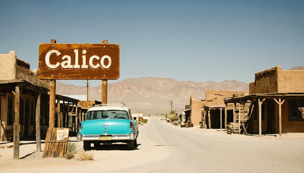
When you’re building a ghost-town road trip around Water Station, Calico Ghost Town Regional Park makes the strongest anchor stop you’ll find in the Mojave Desert. Located in Yermo, San Bernardino County, Calico grounds your route in real desert mining history. Study historical maps before you go so you understand how these settlements connected across the region.
Here’s what Calico delivers:
- Mining relics and preserved structures from the silver boom era
- Daily access from 9 AM to 5 PM, closed only on Christmas
- Guided context that makes surrounding ghost towns easier to interpret
- A fixed address at 36600 Ghost Town Road for reliable navigation
Use Calico as your base reference point, then push outward toward rawer, less managed desert stops.
Don’t Skip Cadiz: The Rail Water Stop That Still Stands
Though it’s easy to drive past without a second glance, Cadiz earns a stop on any honest desert road trip through San Bernardino County. This unincorporated Mojave community once served as a critical railroad water stop, keeping locomotiles moving through punishing heat and open terrain.
What remains tells a quiet but real story. The historical architecture here isn’t restored for tourists—it simply endures, weathered and functional in the way desert places tend to be.
The water infrastructure that once supported rail operations reflects how survival in this landscape depended on precise logistics and hard engineering decisions.
Stopping in Cadiz gives your trip context. You’ll understand why towns like Water Station existed at all—not for commerce or community, but because crossing the desert demanded it.
What the Drive to Water Station Actually Looks Like
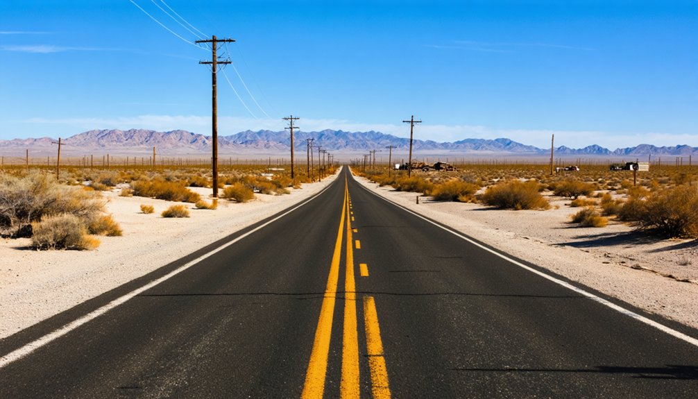
You’ll most likely start your desert route on I-40 East out of Barstow, where San Bernardino County’s open Mojave landscape sets the tone immediately.
As you push deeper into the desert, key stops like Calico Ghost Town and Cadiz break up the drive and layer in the railroad and mining history that makes this corridor worth exploring.
The final miles into Water Station trade convenience for authenticity, so top off your tank, pack extra water, and expect limited services the closer you get.
Starting Your Desert Route
How far are you willing to drive into the Mojave before the pavement starts to feel like a suggestion? Your desert route begins the moment you leave San Bernardino County’s main corridors behind.
Ghost town legends pull you deeper into landscapes where desert flora — creosote, Joshua trees, brittle brush — replace every familiar landmark.
Build your route around four anchors:
- San Bernardino — your last reliable fuel and supply stop
- Calico Ghost Town — structured history before the wild stretches begin
- Cadiz — a former railroad water stop worth a slow roll-through
- Water Station — your raw, unmanaged destination
Each stop deepens the story. You’re not just driving; you’re tracing the survival logic of an entire desert civilization.
Key Stops Along The Way
Four distinct stops shape the drive to Water Station, and each one shifts the landscape beneath your tires. You’ll pass through Yermo first, where Calico Ghost Town anchors the route with restored saloons and mine shafts worth exploring. Desert flora crowds the highway shoulders here — creosote, Joshua trees, and brittlebush marking the Mojave’s quiet authority.
Push east toward Cadiz, a former railroad water stop that still carries its rail-era bones. It’s sparse, honest, and worth the detour. Grab local cuisine in Barstow before you leave civilization behind — diners there serve hearty plates built for road-hungry travelers.
Each stop layers more context onto your trip. By the time you reach Water Station, you’ll understand exactly how the desert shaped everything that came before it.
Final Miles And Arrival
As the highway narrows past Cadiz, the desert stops pretending it has anything left to offer and just delivers itself raw. You’ll notice the desert flora thinning, the Joshua trees spacing out, and the silence thickening. These final miles demand your full attention.
Watch for these arrival markers:
- Pavement giving way to graded dirt roads
- Historical mining remnants appearing as rusted shapes against pale soil
- Desert flora shifting to sparse creosote and dry scrub
- Signage disappearing entirely — your navigation becomes instinct
Nobody’s managing this arrival for you. No park ranger, no ticket booth. You pull up, step out, and the wind does the talking. Water Station doesn’t welcome you — it simply allows you to be there.
What to Pack Before You Hit the Mojave
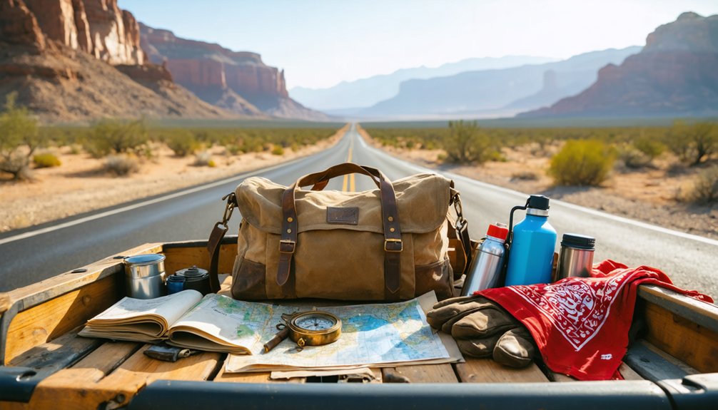
Before you load up the car and point it toward the Mojave, packing smart can make the difference between a memorable road trip and a dangerous one. Desert ghost towns carry historical anecdotes and local legends worth chasing, but the landscape doesn’t forgive careless preparation.
Bring more water than you think you’ll need — at least a gallon per person per day. Pack a paper map since cell service disappears fast out here. Sunscreen, a wide-brim hat, and layers for cold desert nights are non-negotiable.
Carry jumper cables, a tire repair kit, and extra fuel if you’re pushing deep into San Bernardino County’s remote corridors. A first-aid kit and emergency snacks round out your essentials.
Freedom out here rewards the prepared traveler.
How Road Conditions Change This Route by Season
Seasons reshape this route more than most drivers expect, and knowing what’s coming can save your trip before it starts. The Mojave shifts hard between extremes, and each season changes what you’ll find out there.
The desert doesn’t ease you in — it shifts hard, and every season rewrites the rules.
- Spring — Mild temps make desert flora pop with color; mining relics are most accessible on dry, firm roads.
- Summer — Heat exceeds 110°F; carry extra water and avoid midday driving entirely.
- Fall — Ideal conditions return; roads stabilize and visibility sharpens across the flats.
- Winter — Flash flooding and washouts can close remote access roads without warning.
Check San Bernardino County road conditions before you leave, not after you’re already committed to a stretch of dirt with no cell signal ahead.
Where to Sleep After a Day of Desert Ghost Town Driving
After a long day exploring desert highways and poking through mining ruins, you’ll want a real bed rather than a backseat compromise.
Yermo and Barstow sit close enough to Calico Ghost Town to make practical base camps, offering motels that put you back on the road quickly the next morning.
Barstow’s lodging strips give you reliable options without draining your budget for fuel and entry fees.
If you’d rather stay closer to the landscape itself, some campgrounds place you directly among desert flora — creosote, Joshua trees, and scrub that frames the terrain historical artifacts call home.
Book ahead during peak spring and fall weekends.
Desert travelers move fast, rooms fill faster, and nothing disrupts a ghost town itinerary like scrambling for shelter after dark.
Frequently Asked Questions
Can You Bring Pets to Calico Ghost Town Regional Park?
You can bring your pet to Calico Ghost Town, but you’ll need to follow leash regulations to guarantee pet safety. Keep your furry explorer on a leash and enjoy the adventure together!
Is There Cell Phone Coverage Along the Water Station Route?
Cell service along this route plays hard to get. You’ll find signal strength fading fast through San Bernardino County’s remote desert stretches, so download offline maps, charge your devices fully, and embrace the liberating disconnect before heading out.
Are Photography Permits Required at Any Stops on This Route?
At Calico Ghost Town, you’ll find no formal photography restrictions or permit requirements for personal use. Shoot freely! Remote stops like Cadiz don’t impose rules either, so you’re free to capture every dusty, historic moment.
What Is the Admission Fee for Calico Ghost Town Regional Park?
You’ll want to check Calico Ghost Town Regional Park’s current admission fees directly, as they can change. The park’s historical landmarks and visitor amenities make every dollar worthwhile for your adventurous, freedom-seeking desert exploration!
Are There Guided Tours Available Along the San Bernardino Ghost Town Route?
You’ll find a world of discovery waiting! Calico Ghost Town offers guided tour options led by knowledgeable staff, but you can also embrace self-guided exploration at your own pace along San Bernardino’s historic desert route.
References
- https://en.wikipedia.org/wiki/List_of_ghost_towns_in_California
- https://data.cnra.ca.gov/dataset/water-level-station-history
- https://parks.sbcounty.gov/park/calico-ghost-town-regional-park/
- https://www.sbmwd.org/
- https://en.wikipedia.org/wiki/Water_Station_(organization)
- https://en.wikipedia.org/wiki/Cadiz
- https://www.sbmwd.org/180/Water-Utility
- https://sdwis.waterboards.ca.gov/PDWW/JSP/WaterSystems.jsp
- https://cara.ucmerced.edu/page/timeline-water-infrastructure
- https://www.waterboards.ca.gov/rwqcb6/board_decisions/adopted_orders/2004/docs/r6t-2004-0041_pge_wdr.pdf



