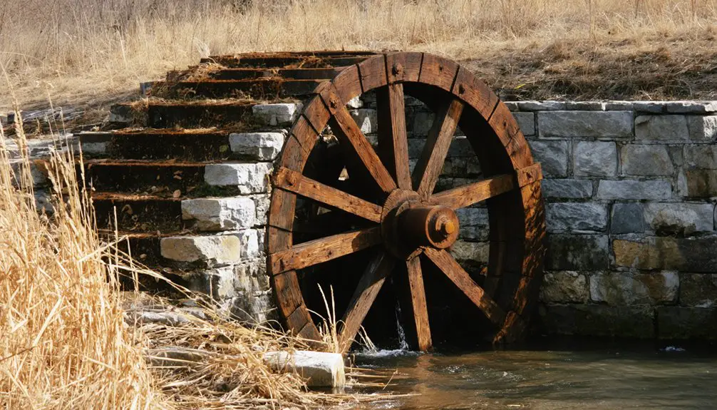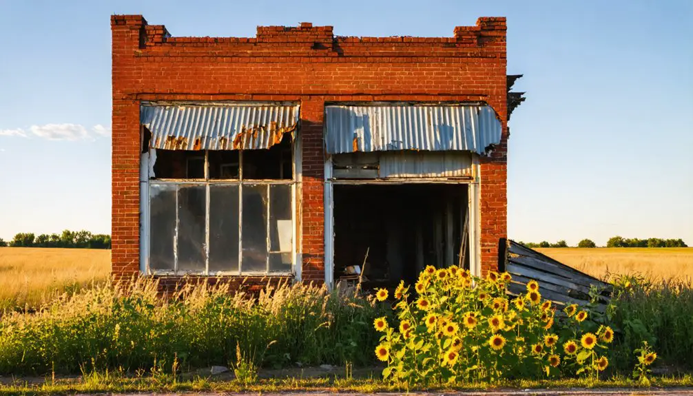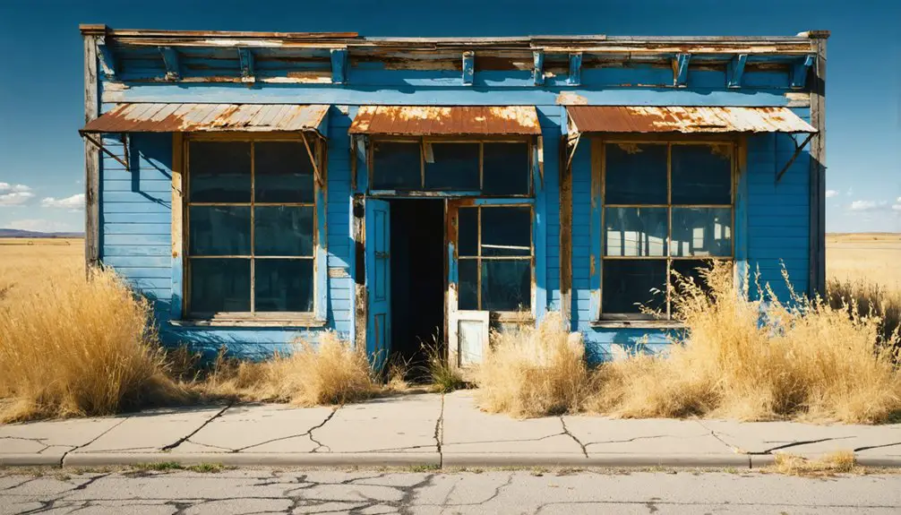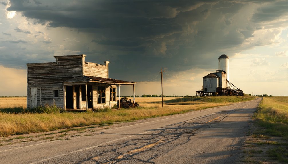
Planning a ghost town road trip to White Rock, Kansas, puts you on the trail of Republic County’s first permanent settlement, established in 1866 along the Republican River’s west bank. You’ll find it about 6 miles north of Courtland or 14 miles northwest of Belleville, sitting quietly on open prairie with no standing structures remaining. A native white rock memorial marks the spot. Stick around — there’s a fascinating story of boom, massacre, and abandonment waiting to unfold.
Key Takeaways
- White Rock is located in Republic County, Kansas, approximately 6 miles north of Courtland and 14 miles northwest of Belleville.
- No standing structures remain; the last buildings were removed in 1926, leaving open prairie land with river views.
- A memorial carved from native white rock marks the site, commemorating White Rock’s frontier history and early settlers.
- Spring or fall are the best seasons to visit, offering moderate weather and scenic views of the surrounding landscape.
- From Belleville, travel 14 miles northwest; from Courtland, drive 6 miles north to reach the Republican River bank.
What Is White Rock, Kansas?
White Rock, Kansas, is a ghost town tucked into Republic County, once standing on the west side of the Republican River as the first settlement in the county west of that waterway. Thomas Lovewell put down permanent roots here in 1866, and by 1873, the town had general stores, a sawmill, a hotel, and a corn mill.
It also carried a darker edge. Local legends tied to the White Rock Massacre of 1867 shaped its frontier identity, and historical artifacts like Native American records kept its story alive for researchers.
Today, no buildings survive. The last structures cleared out in 1926, leaving only a memorial marker carved from native white rock. You’re visiting a place that once mattered deeply and now stands as open, quiet history.
Where White Rock Sits in Republic County
When you head to White Rock, you’ll find the site tucked into Republic County, Kansas, about 6 miles north of Courtland and roughly 14 miles northwest of Belleville.
The town once stood on the west side of the Republican River in White Rock Township, making it the county’s first settlement west of that waterway.
Use Courtland or Belleville as your nearest landmarks when you’re plotting your route.
Republic County Location Details
Tucked into Republic County, Kansas, White Rock sits about six miles north of Courtland and roughly 14 miles northwest of Belleville. You’ll find it on the west side of the Republican River in White Rock Township, a location that carries deep historical significance as the county’s first settlement west of that river.
Native American conflicts, particularly with Cheyenne and Pawnee groups, shaped its rugged early identity.
Picture the setting with these landmarks in mind:
- The Republican River runs along the town’s eastern edge.
- Courtland serves as your nearest modern reference point, just six miles south.
- Belleville, a larger town, sits roughly 14 miles to the southeast.
Use these anchors to map your route before hitting the road.
Nearby Towns And Distance
Planning your route means knowing exactly where White Rock fits on the map relative to the towns still standing nearby. You’ll find the site about six miles north of Courtland and roughly fourteen miles northwest of Belleville. Both towns give you solid starting points for navigating Republic County’s open roads.
White Rock’s historical significance becomes clearer when you consider its placement on the west side of the Republican River. That position made it the county’s first settlement west of the river, directly shaping early land development patterns across the region.
Use Belleville or Courtland as your base, then head out with a full tank. The roads are straightforward, the landscape is wide open, and the ghost town marker rewards every mile you put in.
Republican River Proximity
White Rock sat on the west side of the Republican River, a position that made it the first permanent settlement in Republic County to take root beyond that natural boundary. That placement carried real historical significance — it marked the edge of explored territory and drew people pushing toward open land.
When you visit, picture what that crossing meant:
- A natural divide — the river separated known ground from frontier wilderness.
- A migration corridor — a leading emigrant route from Nebraska passed directly through this area.
- Cultural impact on the region — White Rock became a checkpoint where settlers, traders, and travelers paused before pressing deeper into homestead territory.
That river proximity shaped everything White Rock became — and ultimately, everything it lost.
The First Settlers and Why They Chose This Spot
Before Thomas Lovewell made White Rock a permanent settlement in 1866, others had already tried and failed to put down roots here.
Lovewell succeeded where earlier attempts hadn’t, drawn by the area’s strong land quality and its natural position along a busy emigrant route connecting Nebraska to homestead territory.
When you trace what pulled those first settlers in, you’ll find it wasn’t just open land — it was the right land, in the right place, at the right moment.
Early Settlement Attempts
Though the land along the Republican River drew more than one group of hopeful settlers before anyone managed to stay, it was Thomas Lovewell who finally put down permanent roots in 1866. The historical significance of this moment can’t be overstated — he secured what others couldn’t hold.
Settlement challenges pushed earlier attempts out before White Rock was formally laid out in 1871.
Here’s what shaped those early years:
- Multiple groups tried and failed to establish a lasting presence before Lovewell arrived.
- The land’s qualities made it worth the repeated attempts — fertile ground near a reliable river.
- 1871 marked a turning point, bringing both a formal town layout and the start of school instruction.
Land Quality Appeal
What pulled settlers back to this stretch of land again and again wasn’t stubbornness — it was the ground itself. The soil along the Republican River’s west side offered real promise, and early pioneers recognized it immediately. Thomas Lovewell saw enough potential to plant roots permanently in 1866, and others followed.
The land quality made White Rock feel worth fighting for, even on a raw frontier. That same appeal shaped the town’s formal layout in 1871 and drove early investment in schools and businesses.
Today, historical preservation efforts honor those instincts by keeping the town’s story alive for visitors. As tourism development brings more travelers down these rural Kansas roads, understanding why settlers chose this spot makes the journey feel grounded in something genuine.
Thomas Lovewell’s Arrival
When Thomas Lovewell arrived in 1866, he wasn’t guessing — he was choosing. He saw potential where others saw open wilderness, and he planted roots that would shape Republic County’s early identity. His arrival marks the true beginning of White Rock’s story, connecting historical architecture, local legends, and frontier ambition into one defining moment.
Picture what he was stepping into:
- No established town — just raw land beside the Republican River waiting to be claimed.
- A natural crossroads — an emigrant route from Nebraska ran directly through, bringing traffic and opportunity.
- Rich, workable land — the soil quality made permanent settlement not just possible, but logical.
You’re visiting the ground where one man’s decision launched an entire frontier community.
From Frontier Boomtown to Abandoned Townsite
By the early 1870s, White Rock had grown into a legitimate frontier hub, boasting three general stores, a sawmill, a corn mill, and a hotel. Land development moved fast, and settlers saw real opportunity here.
By the 1870s, White Rock was thriving — three stores, two mills, a hotel, and settlers hungry for more.
But historical disputes over railroad funding would seal the town’s fate. When voters rejected a $130,000 railroad bond in 1878, White Rock lost its lifeline. Without rail access, commerce dried up, residents left, and the town quietly unraveled.
By 1900, the post office closed. By 1912, only about 30 residents remained with no active businesses. In 1926, crews cleared away the last schoolhouse and final standing structure.
Today, you’ll find only a memorial marker carved from native white rock — a quiet tribute to everything that once stood there.
The White Rock Massacre and the Violence of Early Settlement
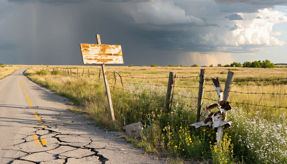
When you research White Rock’s past, you can’t ignore the violent frontier clashes that shadowed its earliest years, including attacks from both Cheyenne and Pawnee groups that kept settlers on edge.
The most haunting episode is the White Rock Massacre of April 1867, when a settler named Ward was killed and his family brutally attacked.
That single incident shaped the town’s early reputation and reminds you that survival, not prosperity, was the defining challenge of life on this remote Kansas frontier.
The 1867 Massacre
Though White Rock’s early years showed real promise, the frontier violence surrounding it left a dark mark on the settlement’s history. In April 1867, the White Rock Massacre cemented the town’s reputation as raw, unforgiving territory. Its historical significance reminds you that westward freedom came at a brutal cost.
The massacre unfolded with devastating clarity:
- A settler named Ward was killed during a Cheyenne or Pawnee attack near the township.
- Ward’s family was violently attacked, leaving survivors to face the aftermath alone on open land.
- The event entered local record, with K-State essays linking it to cultural preservation efforts documenting Native American and settler conflicts.
You’re not just visiting a ghost town — you’re standing inside a documented chapter of frontier history.
Cheyenne And Pawnee Violence
The Ward killing wasn’t an isolated incident — it reflected a broader pattern of conflict that shaped every settlement decision in early Republic County. Native American conflict involving both Cheyenne and Pawnee groups made frontier violence a constant reality for anyone staking a claim near White Rock.
You have to understand what settlers were walking into. This wasn’t just open land waiting to be claimed — it was contested territory, and people knew it. Every homestead decision carried real risk.
K-State records even link White Rock’s earliest years to Native American stories and encounters that defined the region’s character.
When you visit today, that memorial marker stands on ground where people chose to build anyway. That context makes the stop feel less like a history lesson and more like a reckoning.
Frontier Danger And Legacy
April 1867 brought one of the region’s most defining moments of frontier violence — the White Rock Massacre. A settler named Ward was killed and his family attacked, marking the brutal reality of life on this exposed Kansas frontier. This event carries deep historical significance, reminding you that early settlers risked everything for open land and independence.
When you visit today, consider what shaped this ground:
- Cheyenne and Pawnee conflicts created constant danger for homesteaders pushing west.
- The Ward attack became part of the town’s enduring frontier identity.
- Cultural preservation efforts, including K-State essays and Native American records, keep these stories alive.
You’re not just visiting a ghost town — you’re standing inside a chapter of raw American history.
Why the Railroad Killed White Rock
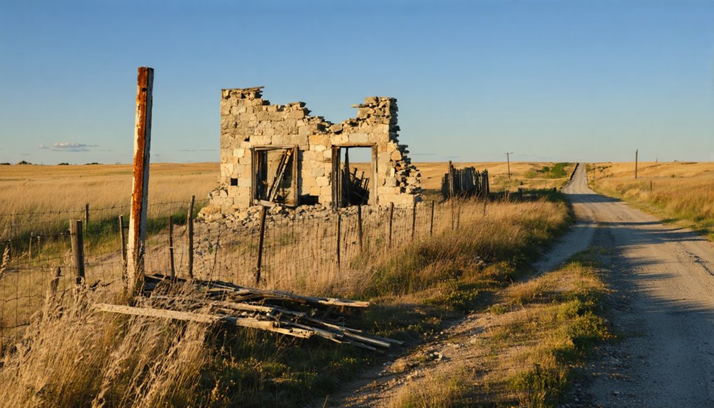
When Republic County voters killed a proposed $130,000 railroad bond issue in 1878, they sealed White Rock’s fate. The township’s own residents voted 95 against and just 2 in favor, effectively cutting the town off from the economic lifeline that kept frontier settlements alive.
Without rail access, businesses had no reason to stay. Trade dried up, residents moved on, and the town that once represented cultural significance on the overland emigrant route slowly emptied.
By 1900, the post office closed. By 1912, only about 30 residents remained with no businesses in sight.
Historical preservation efforts couldn’t save the structures themselves. By 1926, the last schoolhouse and final standing building were gone.
The railroad never came, and neither did White Rock’s future.
What’s Left at the White Rock Site Today
After more than a century of abandonment, almost nothing physical survives at the White Rock site. No historical artifacts, no visitor facilities, no standing structures — just open Kansas prairie where a frontier town once thrived. What you’ll find is raw, honest, and worth the drive.
After more than a century, almost nothing remains — just open prairie where a frontier town once thrived.
Here’s what greets you at the site:
- A memorial marker — carved from native white rock, it’s the sole remnant honoring the town’s existence.
- Open land — the last schoolhouse and final building were cleared away in 1926, leaving undisturbed ground.
- Unobstructed views — the Republican River landscape surrounds you, unchanged by commercial development.
You’re standing where Kansas history happened. Pair your stop with nearby Courtland or Belleville to complete the road trip.
Driving to White Rock From Belleville or Courtland
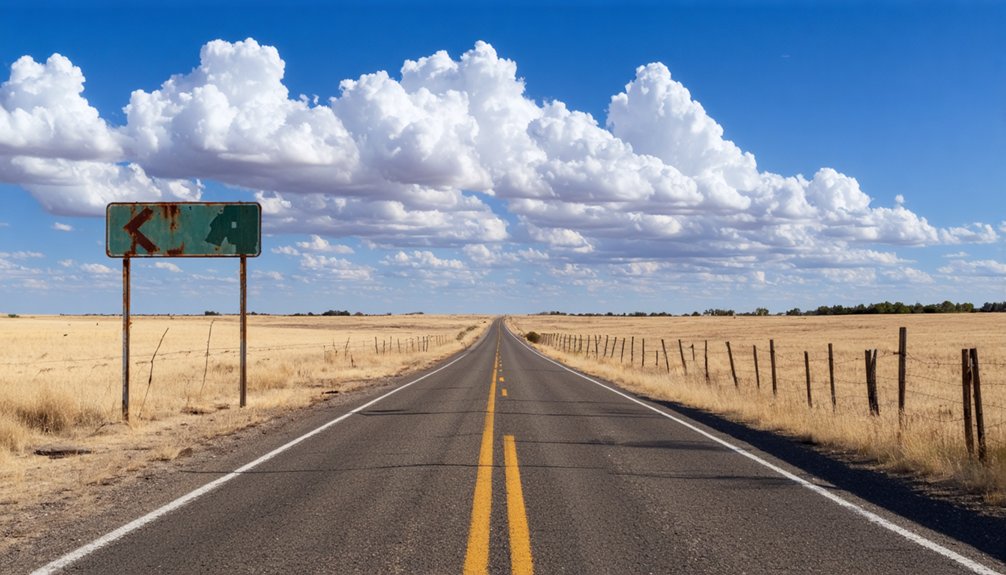
Now that you know what’s waiting at the site, getting there is straightforward. From Belleville, you’re looking at roughly 14 miles northwest, an easy drive through open Kansas countryside that feels fitting for a ghost town hunt.
From Courtland, head about 6 miles north and you’ll reach the west bank of the Republican River, where White Rock Township once thrived.
Neither route demands much planning, just a reliable vehicle and a curious mindset. As you drive in, imagine emigrants following this same corridor from Nebraska into homestead territory, chasing land and local legends about frontier promise.
There’s no historical architecture left standing, but the landscape itself tells the story. Park near the memorial marker, take it in, and let the silence do the rest.
The Best Season to Visit White Rock
Timing your visit well makes a real difference at a site like White Rock, where there’s nothing but open land and a stone marker to greet you. Seasonal weather shapes everything here, and visitor crowds are rarely a concern at a forgotten ghost town.
- Spring (April–May): Mild temperatures and green prairie grass make the landscape vivid and easy to explore on foot.
- Fall (September–October): Crisp air and golden fields create a naturally atmospheric backdrop, perfect for photography and reflection.
- Summer: Expect intense Kansas heat and open sun with zero shade — bring water and start early if you go.
Winter visits are possible but unpredictable. Your best freedom to roam comfortably lands squarely in spring or fall.
Other Republic County Ghost Towns Worth the Drive
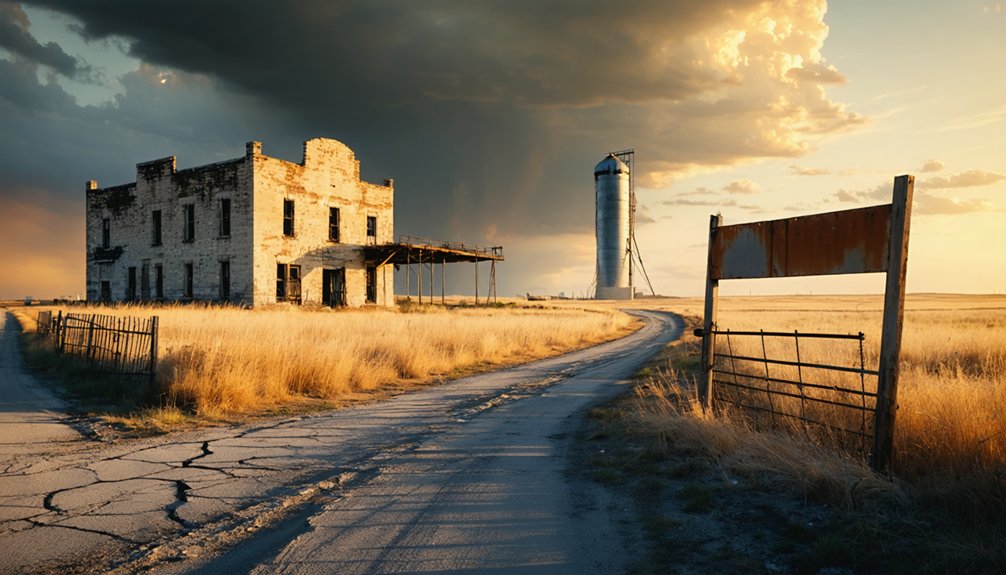
While White Rock makes a compelling anchor for your road trip, Republic County has other forgotten settlements worth folding into your route. Belleville and Courtland serve as practical base towns, but between them lie scattered sites carrying real cultural significance rooted in frontier migration, homesteading struggles, and Plains conflict.
You won’t always find historical artifacts standing upright — most traces exist in county records, old cemetery plots, and roadside markers hidden along gravel roads. That’s part of the draw. You’re piecing together a landscape that once hummed with ambition and faded quietly.
Bring a detailed county map, keep your tank full, and treat each unmarked stop as its own discovery. Republic County rewards the curious traveler willing to look beyond the obvious.
Frequently Asked Questions
Is There a Fee to Visit the White Rock Memorial Marker Site?
You’ll find no fee to visit the White Rock memorial marker! It’s freely accessible, honoring the site’s historical significance and preservation efforts, making it perfect for your spirit of open-road exploration and adventure.
Can You Drive Directly to the White Rock Site, or Hike In?
You can drive directly to the White Rock site along accessible pathways through Republic County’s open terrain. You’ll discover scenic viewpoints of the Republican River valley before reaching the native stone memorial marker awaiting your exploration.
Are There Any Guided Ghost Town Tours Available in Republic County?
No guided ghost town tours are confirmed for Republic County, but you’ll find local legends and historical preservation efforts worth exploring independently. Check with Belleville’s tourism office—they’re your best bet for uncovering organized excursions nearby.
Is the White Rock Site on Public or Private Land?
The knowledge doesn’t confirm if it’s public or private, so verify before you visit! You’ll find historical significance in local legends tied to the memorial marker carved from native white rock awaiting your exploration.
Are Restrooms or Parking Areas Available Near the White Rock Marker?
With only 2 voters supporting the 1878 railroad bond, White Rock faded fast. Restroom facilities and parking availability aren’t formally developed here, so you’ll want to plan ahead and embrace the raw, untamed freedom of this remote Kansas prairie stop.
References
- https://en.wikipedia.org/wiki/White_Rock
- https://legendsofkansas.com/white-rock-kansas/
- http://kansasoakland.blogspot.com/2012/11/white-rock-kansas.html
- https://www.ksgenweb.org/archives/1912/w/white_rock_massacre.html
- https://legendsofkansas.com/lovewell-kansas/
- https://www.youtube.com/watch?v=yVWWqwcGTt0
- https://en.wikipedia.org/wiki/List_of_ghost_towns_in_Kansas
- https://www.youtube.com/watch?v=wocJ7F-jdrs
- https://krex.k-state.edu/items/d5224c19-d683-4825-b39c-4d94c2c87257
- https://zh.wikipedia.org/zh-hans/懷特羅克_(堪薩斯州)