You’ll find northern Minnesota’s ghost towns scattered from Lake Superior’s shores to the Mesabi Range, where communities like Beaver Bay’s 1866 county seat and Forestville’s railroad-bypassed settlement tell stories of boom and abandonment. Over 75 mining towns emerged after the 1890 iron discovery, housing Finnish and Italian immigrants before resource depletion and the 1982 taconite collapse emptied them. Disasters struck hard—Helvetia’s 1884 diphtheria epidemic, the Milford Mine’s 41 fatalities, and federal wilderness designations that redrew property boundaries reveal how quickly thriving settlements became historical footnotes waiting to share their complete histories.
Key Takeaways
- Northern Minnesota ghost towns emerged from mining booms, fishing settlements, and logging operations established after the 1854 LaPointe Treaty.
- Transportation changes devastated towns like Forestville and Old Crow Wing when railroads bypassed them, causing rapid population loss and abandonment.
- Resource depletion closed mining communities such as Taconite Harbor, where workforce dropped from thousands to 100 during 1982’s industry collapse.
- Disasters including the Milford Mine tragedy, diphtheria epidemics, and floods forced permanent abandonment of vulnerable settlements like Helvetia.
- Over 75 immigrant townsites vanished after mines closed, with some dismantled entirely like Erie Mining Company’s operations in 1990.
North Shore Settlements Along Lake Superior
When the LaPointe Treaty of 1854 ceded Minnesota’s Lake Superior shoreline to the United States, white speculators moved quickly to preempt claims at promising locations along what would become known as the North Shore.
Richard Godfrey built a fishing shack at Grand Marais that same year, while McIntyre staked Knife River for the R.B. Carlton Company. By 1856, you’d find settlers scattered from Buchanan to Silver Creek.
Beaver Bay emerged as the region’s hub when surveyor Thomas Clark platted the settlement in June 1856. The steamer Illinois delivered its first permanent residents that same day.
Within three years, you’d see a functioning school and Ojibwe families establishing summer residences. Christian Wieland served as superintendent of the school when it first organized in 1859.
When Minnesota formed Lake County in 1866, Beaver Bay became county seat—a strategic position for guiding prospectors inland to Vermillion’s mineral wealth. For many years, Beaver Bay remained the largest community between Duluth and Port Arthur.
Mining Communities of the Iron Range
The discovery of iron-bearing rocks along the Mesabi Range transformed Minnesota’s northeastern wilderness into an industrial powerhouse. When J.A. Nichols and the Merritt brothers struck hematite near Mountain Iron in 1890, they ignited an economic boom that drew tens of thousands of immigrants seeking independence from Old World constraints.
These iron miners—Finns, Italians, Norwegians, and Jewish refugees from Russian pogroms—carved communities from the wilderness, building over 75 townsites near open pits and underground shafts.
The Range’s vanished communities reveal stories of community resilience:
- Locations like Kerr and Soudan housed workers in company-built housing, risking demolition when operations expanded.
- Milford Mine shipped premium ore from 1925-1932 before economic collapse forced closure.
- Over 1,000 Jewish families established synagogues and businesses before post-1960s decline scattered populations.
- By 1920, four synagogues served Jewish communities in Chisholm, Eveleth, Hibbing, and Virginia.
- The 1907 strike by the Western Federation of Miners lasted two months and resulted in thousands of workers being blacklisted after demanding better conditions.
Today, Cleveland-Cliffs and U.S. Steel maintain diminished operations across these storied grounds.
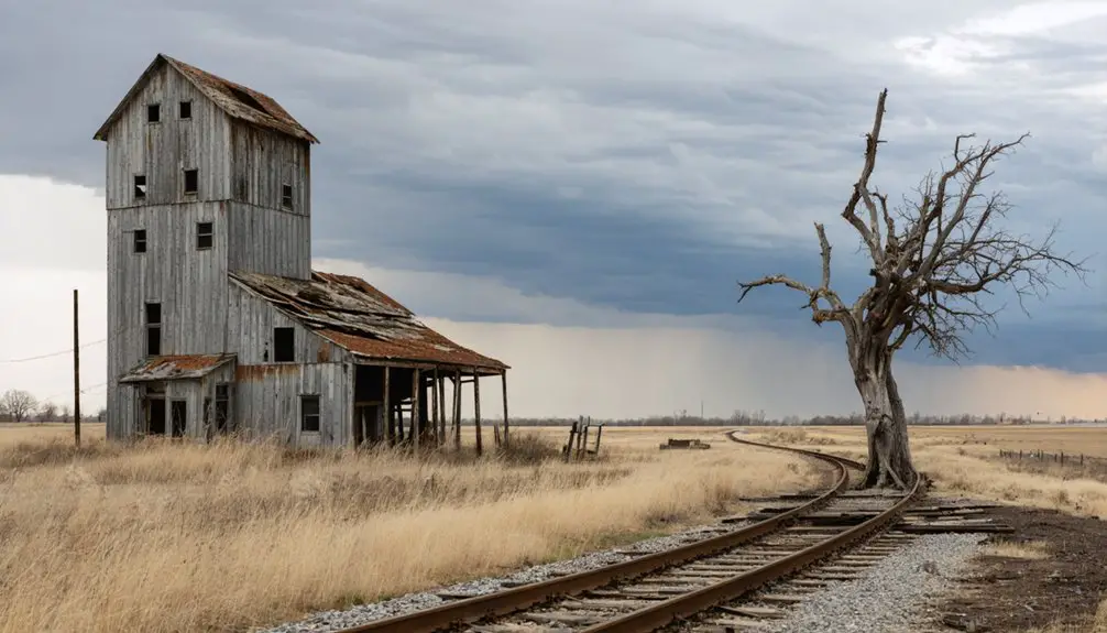
Towns Left Behind by the Railroad
While iron ore determined fortunes along the Mesabi Range, railroad decisions proved equally decisive across Minnesota’s prairies and river valleys.
You’ll find Forestville’s story particularly stark—bypassed in 1868, its population crashed to just 55 residents by 1880. The Meighen family eventually purchased the entire town.
Helvetia faced similar fate when Carver County’s 1871 line ran a mile south. Businesses relocated, then diphtheria devastated remaining residents before merger into Mayer Village in 1900.
Southwestern Minnesota’s Vicksburg and Winona County’s Lewiston experienced comparable town decline when major routes shifted elsewhere.
The effects of these transportation changes can also be seen in the abandoned places in northern Minnesota, where once-thriving communities have fallen silent over time. Many of these sites offer a haunting glimpse into the past, drawing curious explorers and photographers eager to capture their stories. As nature begins to reclaim these spaces, the remnants of human life slowly fade, leaving behind a poignant testament to eras gone by.
Transportation autonomy meant survival—communities couldn’t dictate where rails ran. Those bypassed watched commerce evaporate as connections vanished, leaving architectural remnants as evidence to routing’s power over prosperity. Hasty emerged alongside the Great Northern Railway line in 1881, but even towns born from the railroad weren’t immune to eventual decline. Old Crow Wing thrived as a major trading center in the 19th century until the railroad bypassed it, leading to its abandonment.
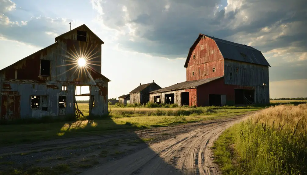
Resource Depletion and Economic Collapse
Unlike railroad routing decisions that struck communities swiftly, resource exhaustion imposed a slower death sentence on Minnesota’s extraction-dependent settlements.
Poor resource management and lack of economic sustainability doomed towns like Elcor near Gilbert when ore quality deteriorated in the 1950s.
You’ll find similar patterns at Rice Lake in St. Louis County, where logging’s departure left minimal structures behind.
Environmental and Economic Breaking Points:
- Taconite Harbor’s workforce plummeted from thousands to approximately 100 employees during 1982’s industry collapse.
- Erie Mining Company’s 1990 abandonment triggered systematic town dismantling, with residents purchasing homes for $1 before mandatory relocation.
- At its peak, the community shipped 10 million tons of taconite pellets annually before the industry downturn forced families to abandon the town.
- Taconite dust and noise pollution accelerated the 1970s-1980s exodus, as environmental degradation outweighed economic benefits.
- The Taconite Harbor Energy Center idled operations in 2016 and was fully decommissioned in 2023, marking the final chapter of industrial activity at the site.
Disease and Disaster-Stricken Villages
Disease and disaster delivered death blows to Minnesota settlements already vulnerable from isolation and rudimentary infrastructure.
You’ll find Helvetia’s tragic story exemplifies how disease outbreaks decimated frontier communities—the 1884 diphtheria epidemic killed most residents, forcing survivors to merge with neighboring Mayer by 1900.
Mining accidents proved equally devastating. The Milford Mine Disaster in Crosby claimed 41 miners in one of the state’s deadliest underground catastrophes, triggering the community’s abandonment.
When 41 miners perished in Crosby’s Milford Mine Disaster, the catastrophe shattered the community beyond recovery, forcing permanent abandonment.
Ely’s 1901 construction of Tanner Hospital reveals how prevalent illness threatened mining populations, necessitating dedicated medical facilities.
San Francisco faced a different nemesis—relentless flooding from its below-rapids location compounded its decline after losing county seat status in 1856. The 1863 flooding ultimately forced complete abandonment of this former county seat. Within five years, the once-promising settlement had become private farmland.
These settlements couldn’t recover when catastrophe struck their already-precarious foundations.
Wilderness Boundaries and Forced Relocations
When you examine the establishment of the Boundary Waters Canoe Area Wilderness in 1965, you’ll find entire communities erased from maps as federal authorities expanded protected lands.
The BWCA Portal Zone evacuation forced residents from Sawbill Landing and surrounding settlements to abandon homes, fishing camps, and small businesses they’d operated for generations.
Archival records from the Superior National Forest reveal how families received minimal compensation for their properties, leaving behind only overgrown foundations and rotting docks where thriving lake communities once stood.
BWCA Portal Zone Evacuation
Throughout the Boundary Waters Canoe Area Wilderness‘s 1,098,000-acre expanse along Minnesota’s International Boundary, portal zone evacuations have become critical management responses to wildfire threats that don’t respect permit schedules or wilderness boundaries.
When lightning ignited the Horse River wildfire, Forest Service officials closed Dog Sled Portage route entirely. You’ll find evacuation procedures now prioritize visitor safety over quota systems, as demonstrated when Cadotte Lake Campground cleared out ahead of the Jenkins Creek fire’s advance.
Recent fire management actions include:
- Spice Lake wildfire detection between Spice Lake and Ogishkemuncie Lake forced immediate route closures near Gunflint Trail’s terminus
- Greenwood Fire evacuations triggered after pyrocumulus clouds formed over 19,000 scorched acres
- Quetico Provincial Park partial closures along shared borders created cross-boundary relocation challenges
These aren’t temporary inconveniences—they’re sovereign decisions affecting your wilderness access.
Sawbill Landing Community Displacement
Federal wilderness designation in 1965 severed Sawbill Landing from its moorings, transforming this unincorporated Lake County community—ten miles northeast of Isabella—from a functioning settlement into administrative geography.
You’ll find no commemorative markers where BWCA boundaries sliced through portal zones, forcing residents to abandon structures their families built.
Sawbill history records George Arbogust’s premier resort erected in the early 1930s, later passing through Case ownership before the Senty family acquired it in 1977.
By then, dwindling occupancy and needed repairs signaled broader displacement. The Blanks family dismantled the lodge in October 1984, hauling logs via Caribou Trail toward Lutsen—until brake failure sent the truck careening off Highway 61.
Community resilience couldn’t overcome federal mandates. What remains are oral histories and rotted remnants.
1965 Boundary Establishment Impact
As congressional protection tightened around what would become the BWCAW, northern Minnesota residents watched administrative lines redraw their property rights across seven decades of incremental restrictions.
The boundary impact began subtly in 1902 when Forest Commissioner Andrews blocked logger sales, then escalated through Roosevelt’s 1909 proclamation claiming 644,114 acres.
Each wilderness preservation milestone—1926’s roadless designation, the 1930 Shipstead-Newton-Nolan Act’s shoreline logging ban, and finally 1978’s extensive restrictions—compressed existing communities into smaller legal spaces.
Cascading Restrictions That Reshaped Property Rights:
- 1926 roadless designation halted dam construction and eliminated 640,000 acres from development
- 1930 legislation prohibited activities within 400 feet of shorelines on all border lakes
- 1978 regulations added 50,000 acres while banning motors, snowmobiles, logging, and mining operations
Frequently Asked Questions
Can Visitors Legally Explore Ghost Town Sites in Northern Minnesota?
You’ll face legal restrictions at most northern Minnesota ghost town sites since they’re on private property requiring permission. Follow exploration guidelines at public locations like Forestville State Park, where you can freely access restored buildings through guided tours.
Many of these ghost towns located in Minnesota provide a glimpse into the past, showcasing remnants of early settlement life. Visiting such places can be an enriching experience, opening doors to fascinating stories and historical insights. Make sure to respect the site’s rules and leave no trace to preserve their beauty for future explorers.
In addition to Forestville State Park, there are numerous historic ghost towns of southern Minnesota that invite you to explore their intriguing histories. These sites often feature unique architecture and stories that reflect the region’s rich past. As you navigate through these forgotten places, take time to appreciate the natural beauty surrounding them, ensuring that your visit leaves a minimal impact on the environment.
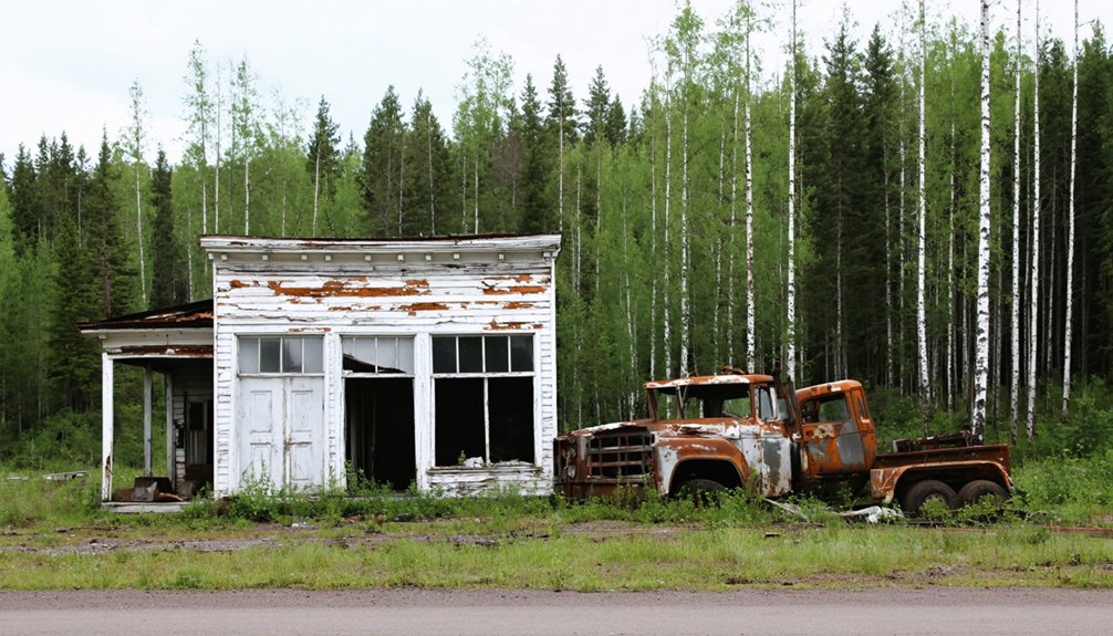
Are Any Original Buildings Still Standing in These Abandoned Towns?
No original buildings stand at these sites—you’ll find only foundations and scattered artifacts. Historic architecture succumbed to relocation or demolition, though preservation challenges persist. Old Wadena offers reconstructed structures, letting you freely explore Minnesota’s vanished settlements firsthand.
What Happened to Former Residents After Their Towns Were Abandoned?
Former residents scattered across Minnesota seeking work—you’ll find miners moved to active Mesabi operations, loggers followed timber north, while homesteaders claimed new land. Families rebuilt communities elsewhere, adapting to life changes beyond their ghost towns.
Many of these ghost towns in Minnesota history have become captivating destinations for those interested in the past. As time has faded the memories of bustling towns, remnants of their stories still linger in the landscape. Today, visitors can explore the ruins and imagine the lives that once thrived there, offering a glimpse into a chapter of Minnesota’s rich history.
The abandoned towns of Minnesota serve as poignant reminders of a bygone era, where each crumbling structure tells a story of resilience and adaptation. Many artists and historians are drawn to these sites, capturing their beauty through photography and literature, allowing the tales of the past to resonate in new forms. As exploration continues, these sites offer not only an adventure but also a connection to the legacies that shaped the state.
Which Ghost Town Is Easiest to Access for Tourists Today?
Taconite Harbor offers you the most accessible attractions off Highway 61—park roadside and walk freely through nature-reclaimed streets, viewing foundations and a small museum documenting this North Shore settlement’s industrial past and tourist experiences.
Do Any Ghost Towns Have Preservation or Restoration Efforts Underway?
You’ll find active preservation initiatives at Forestville, where restored buildings include Meighen General Store stocked as in the 1890s. Tenney faces restoration challenges while converting its 1904 fire hall into a museum, preserving authentic equipment.
References
- https://www.minnesotahistory.org/post/a-complete-guide-to-the-ghost-towns-of-hennepin-county
- https://thievesriver.com/blogs/articles/ghost-towns-in-minnesota
- https://exploringnorthshore.com/north-shore-ghost-towns/
- https://www.carvercountyhistoricalsociety.org/ghost_towns.php
- https://freepages.rootsweb.com/~gtusa/history/usa/mn.htm
- https://en.wikipedia.org/wiki/List_of_ghost_towns_in_Minnesota
- https://pbsnorth.org/show/minnesotas-lost-mining-towns/
- https://www.youtube.com/watch?v=5bCG6B2rzZY
- https://morrisoncountyhistory.org/?page_id=292
- https://www.youtube.com/watch?v=SK_qpflb_ao