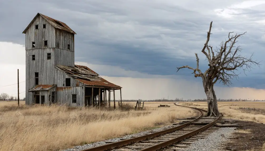
You’ll find at least fifteen ghost towns within 90 miles of Duluth, including Taconite Harbor (abandoned mid-1980s after shipping 10–11 million tons annually), Forest Center (a 1949–1964 logging town mostly erased by the 2011 Pagami Creek Fire), and Chippewa City (an 1880s settlement east of Grand Marais). Mining communities like Elcor vanished after the 1954 Corsica mine closure, while Mineral Center—founded 1909, population 350 by 1930—emptied during the Depression. These extractive-industry satellites along Highway 61 left foundations, cellar depressions, and historical markers documenting the region’s boom-and-bust economy.
Key Takeaways
- Ghost towns near Duluth emerged from logging and mining industries, declining when resources depleted or economic conditions changed.
- Taconite Harbor, built in the 1950s, shipped millions of tons annually before mid-1980s economic decline depopulated it.
- Forest Center operated from 1949-1964 as a logging town; the 2011 Pagami Creek Fire erased most traces.
- Chippewa City, east of Grand Marais, was abandoned due to highway realignment, fire, influenza, and economic collapse.
- Exploration requires topographic maps, county archives, and respect for private property; expect foundations and subtle remnants.
Taconite Harbor: A Planned Company Town Frozen in Time
The Erie Mining Company broke ground on Taconite Harbor in the early 1950s, constructing a purpose-built company town along Minnesota’s North Shore to house the workforce that would operate one of Lake Superior’s most ambitious industrial projects.
Between 1952–1953, the company established essential infrastructure just south of Schroeder in Cook County, trucking in 22–24 prefabricated homes starting in 1957.
Prefabricated homes arrived by truck in 1957, transforming bare North Shore land into functional worker housing within Taconite Harbor’s expanding company town footprint.
You’ll find this compact two-block neighborhood was strategically positioned between Highway 61 and Lake Superior, servicing an ore dock that shipped 10–11 million tons of taconite pellets annually during peak years.
The settlement included community facilities such as a town hall, fire hall, and a school that served the families who made Taconite Harbor their home.
Residents could purchase homes with affordable terms—just $400 down and $100 monthly payments—making homeownership accessible to the mining workforce.
The settlement thrived through the mid-1980s until economic decline struck—workforce numbers plummeted to roughly 100 employees by 1982, triggering depopulation that eventually transformed this once-vital company town into a haunting North Shore ghost settlement.
Forest Center and Sawbill Landing: Lost Logging Communities of the Interior
Deep in what’s now the Boundary Waters Canoe Area Wilderness, Forest Center emerged in 1949 as one of Minnesota’s last purpose-built logging towns—a 250-resident company settlement carved from the forest on Isabella Lake’s south shore after the U.S. Forest Service authorized large-scale timber sales in 1945.
Tomahawk Timber Company operated this mechanized hub until 1964, maintaining 53 homes, a sawmill, and complete community infrastructure connected by Duluth, Mesabi and Iron Range Railroad spur. The railroad spur reached Isabella Lake’s south shore in 1948, establishing the transportation link that would sustain the logging operation for the next sixteen years.
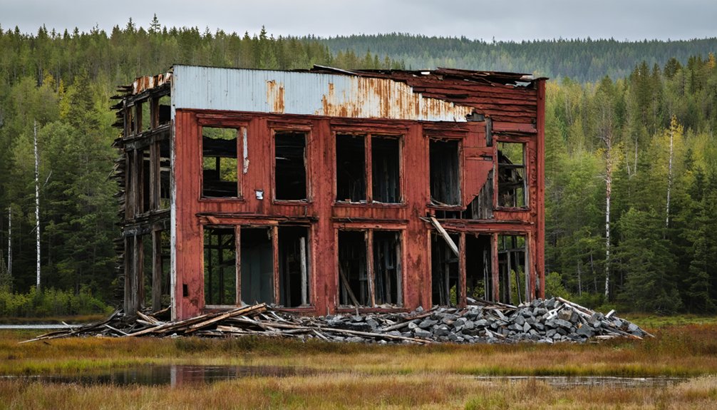
Today, Forest Center history survives only through scattered foundations and a single interpretive sign at BWCA Entry Points 35 and 86, with the 2011 Pagami Creek Fire erasing most remaining traces. Visitors seeking to understand this era of Minnesota’s logging heritage can explore an authentic 1900s logging camp in Grand Rapids, where period buildings and interpretive guides bring the forest industry’s history to life.
Similarly, Sawbill Landing remnants mark another vanished logging junction where road networks supporting postwar timber operations now form backcountry trails threading through second-growth wilderness.
Chippewa City: The Vanished Village Beyond Grand Marais
About 1.5 miles east of Grand Marais along what’s now Old Shore Road (County Road 58), Chippewa City emerged in the 1880s as one of the North Shore’s largest Ojibwe settlements—a permanent lakeshore village of roughly 100 families at its 1890s peak, built atop traditional seasonal camping grounds that had served Native communities for generations prior.
The settlement’s economy centered on commercial fishing, logging labor, and subsistence gardening, while its village architecture consisted of clustered log homes, frame houses, smokehouses, and fish sheds.
Chippewa history here revolves around the 1895 St. Francis Xavier Church—a hand-hewn, dovetailed timber structure reflecting French Catholic mission design.
Highway 61 realignment, a devastating 1907 fire, the 1918 influenza pandemic, and Depression-era collapse emptied the townsite. Only the church and cemetery remain standing today.
Mineral Center and Cook County’s Mining Heritage
While Chippewa City‘s story unfolded along Lake Superior’s shore, Cook County’s interior wilderness spawned its own doomed settlement. Malcolm Linnell’s 1909 homestead claim, fifteen miles inland from Hovland, launched Mineral Center after he discovered promising deposits.
The Nelson Act of 1889 had opened Grand Portage Indian Reservation lands, enabling Wisconsin settlers to pursue mineral exploration throughout the region. By 1930, 350 residents occupied 54 families’ homesteads, supporting three schools, a post office, and the United Congregational Church.
You’ll find traces of gold, silver, copper, and iron proved insufficient for profitable extraction. Minneapolis and St. Paul visitors sustained the economy through tourism impact—hunting expeditions, cart rides, and purchasing Native artisans’ goods along the roadside. Earlier American Indians had utilized chert and flint from the region to craft spearpoints, knives, and scrapers for daily life.
Economic collapse triggered abandonment during the 1930s. Today, descendants maintain a cemetery six miles up Mineral Center Road, where a wrought iron sign marks the final resting place of these pioneer families. Halbert Bockovich’s documentation preserved homestead records before wilderness reclaimed the townsite.
Lake County’s Forgotten Settlements Along Highway 61
Lake County’s Highway 61 corridor spawned four distinct ghost towns between the 1950s and late twentieth century, each tied to extractive industry cycles that mirrored earlier patterns across Minnesota’s Arrowhead.
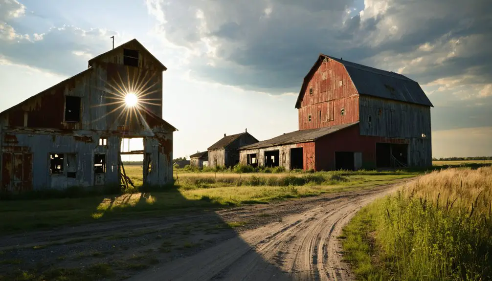
You’ll find Taconite Harbor’s most dramatic remains—22 pastel prefabs built in 1957 by Erie Mining Company, abandoned after the firm offered homes for $1 in 1986, leaving crumbling street grids and rusting infrastructure between the highway and Lake Superior’s fastest loading docks.
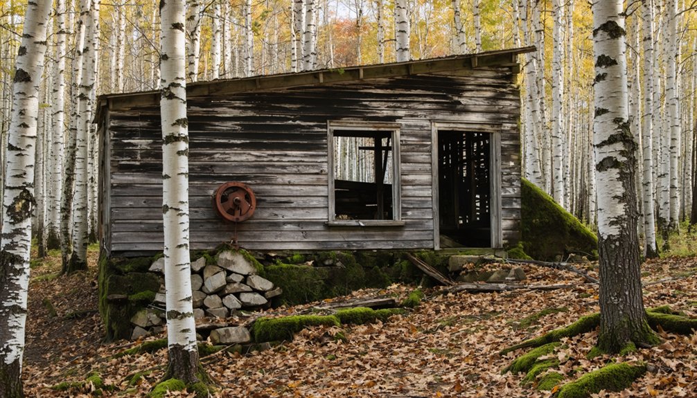
Inland, you’ll trace London and Cramer as logging-era forgotten settlements along back roads from Finland toward the shore, now reclaimed by forest. Cramer persists as a satellite community of Finnish settlers with old buildings still dotting the landscape.
Forest Center, Tomahawk Timber Company’s 1949 outpost near Lake Isabella, completes this chain of resource satellites that fed the Highway 61 economy before collapse.
At its height, the taconite operation shipped 10 to 11 million tons annually to Detroit’s automobile and steel manufacturers, making the harbor a critical link in the Great Lakes industrial network.
Iron Range Ghost Towns Connected to Duluth’s Port
As taconite pellets clatter down Duluth’s surviving ore docks today, you’re witnessing the endpoint of a shipping corridor that once sustained dozens of now-vanished iron range settlements whose sole purpose was feeding the port’s insatiable twentieth-century appetite for Mesabi, Vermilion, and Cuyuna ore.
Company-controlled locations like Elcor (1897–1956), Sparta, Genoa, and Penobscot existed strictly to house miners extracting iron ore that railroads—Duluth & Iron Range, Duluth, Missabe & Northern—funneled directly to Duluth’s docks.
When specific pits closed or operations consolidated into fewer taconite plants, these mining towns lost economic justification overnight. Elcor vanished after its Corsica mine shut in 1954; Pineville emptied when nearby Mesabi pits exhausted.
Today scattered foundations and reclaimed landscapes mark where autonomous communities once thrived on Duluth-bound ore traffic alone.
How to Explore North Shore Ghost Towns Today
Where do you actually start when the ghost town you’re hunting appears on a 1924 railroad survey but vanished from state highway maps by 1967?
Start with railroad surveys and county archives, then trace backward through topographic maps until the town reappears.
You’ll need historic USGS topographic maps and local historical society archives—Cook County’s collections document Chippewa City and Mineral Center with coordinates modern GPS recognizes.
Highway 61 serves as your baseline; gravel forest roads branch inland toward sites like Forest Center and Sawbill Landing.
Expect concrete foundations, cellar depressions, and scattered relics rather than Hollywood ruins.
Ghost town preservation here means respecting No Trespassing signs on private parcels and avoiding artifact removal—the historical significance lies in context, not souvenirs.
Plan 30–90 minutes per location, wear sturdy boots for brush and metal debris, and pack bear spray.
Superior National Forest boundaries shift, so verify current land status before exploring.
Frequently Asked Questions
Are There Any Haunted Ghost Towns Near Duluth Minnesota?
You’ll find Taconite Harbor and Chippewa City carry haunted history through eerie atmospheres and ghostly legends, though stronger documented hauntings appear at Split Rock Lighthouse and Stoney Point—landmarks rather than true depopulated towns.
Can You Camp Overnight at North Shore Ghost Town Sites?
You’d search forever for legal overnight spots—camping regulations flatly prohibit it at North Shore ghost town sites like Taconite Harbor and Chippewa City, which lack any ghost town amenities, infrastructure, or designated campsites whatsoever.
Which Ghost Town Is Closest to Downtown Duluth?
Mineral Center’s abandoned buildings stand closest at approximately 40 miles from downtown Duluth. Founded in 1909, you’ll find this Cook County settlement holds significant historical significance from Minnesota’s early mining exploration era, predating the 1940s lumber boom sites.
Do You Need Permits to Visit Ghost Towns Near Duluth?
You won’t need special permits for most sites—they’re not Forbidden Cities—but check visiting guidelines since state parks require vehicle passes and private parcels demand permission. Verify ownership through county GIS before exploring off-road remnants.
What Caused Most Ghost Towns Near Duluth to Be Abandoned?
Economic decline from mining and lumber industry collapses drove most abandonment—Taconite Harbor’s 1982 downturn, rail closures at Sawbill Landing in 1970, and mine shutdowns like Corsica. Natural disasters including fires accelerated depopulation you’ll find documented throughout.
References
- https://en.wikipedia.org/wiki/List_of_ghost_towns_in_Minnesota
- https://wjon.com/ghost-towns-stearns-county-towns-that-disappeared-from-the-map-our-top-five/
- https://exploringnorthshore.com/north-shore-ghost-towns/
- https://freepages.rootsweb.com/~gtusa/history/usa/mn.htm
- https://northernwilds.com/ghost-towns-in-northern-wilds/
- https://www.cascadevacationrentals.com/6953/taconite-harbor-a-ghost-town/
- https://maplewoodmn.gov/1522/The-Ghost-town-of-Gladstone
- https://kroc.com/abandoned-places-minnesota/
- https://nvtami.com/2022/07/16/duluth-minnesota/
- https://www.cbsnews.com/minnesota/news/the-story-behind-minnesotas-abandoned-mine-town-taconite-harbor/