East Fork Road District, PA
County:
Potter
Zip Code:
Latitude / Longitude:
Elevation:
Time Zone:
Eastern (EST) (UTC-5)
Established:
Disestablished:
Comments:
East Fork Road District was a sui generis municipality in Potter County, Pennsylvania, United States. The population was 14 at the 2000 census.
Remains:
The vast majority of the district was located within the Susquehannock State Forest, with only a narrow strip of property along East Fork Road being privately owned. East Fork was the only municipal division of its kind in Pennsylvania; comparable in geographic size to the townships of Potter County, but its encapsulation preventing it from normal growth. Its extremely low population prevented it from having the full municipal government of a Second Class Pennsylvania township.
Current Status:
On January 1, 2004, the district was dissolved and the area merged with Wharton Township.
Remarks:
Eckley, PA
County:
Zip Code:
Latitude / Longitude:
Elevation:
Time Zone:
Eastern (EST) (UTC-5)
Established:
Disestablished:
Comments:
Remains:
Current Status:
Remarks:
Edri, PA
County:
Indiana
Zip Code:
Latitude / Longitude:
Elevation:
Time Zone:
Eastern (EST) (UTC-5)
Established:
Disestablished:
Comments:
Remains:
Current Status:
Remarks:
Eleanora, PA
County:
Jefferson
Zip Code:
Latitude / Longitude:
Elevation:
Time Zone:
Eastern (EST) (UTC-5)
Established:
Disestablished:
Comments:
Remains:
Current Status:
Remarks:
Eriton, PA
County:
Clearfield
Zip Code:
Latitude / Longitude:
Elevation:
Time Zone:
Eastern (EST) (UTC-5)
Established:
Disestablished:
Comments:
Remains:
Current Status:
Remarks:
Fairbanks, PA
County:
Westmoreland
Zip Code:
Latitude / Longitude:
Elevation:
Time Zone:
Eastern (EST) (UTC-5)
Established:
Disestablished:
Comments:
Remains:
Current Status:
Remarks:
Ferrier, PA
County:
Indiana
Zip Code:
Latitude / Longitude:
Elevation:
Time Zone:
Eastern (EST) (UTC-5)
Established:
Disestablished:
Comments:
Remains:
Current Status:
Remarks:
Fillmore, PA
County:
Indiana
Zip Code:
Latitude / Longitude:
Elevation:
Time Zone:
Eastern (EST) (UTC-5)
Established:
Disestablished:
Comments:
Remains:
Current Status:
Remarks:
Flinns, PA
County:
Indiana
Zip Code:
Latitude / Longitude:
Elevation:
Time Zone:
Eastern (EST) (UTC-5)
Established:
Disestablished:
Comments:
Remains:
Current Status:
Remarks:
Fort Palmer, PA
County:
Westmoreland
Zip Code:
Latitude / Longitude:
Elevation:
Time Zone:
Eastern (EST) (UTC-5)
Established:
Disestablished:
Comments:
Remains:
Current Status:
Remarks:
Foster, PA
County:
Indiana
Zip Code:
Latitude / Longitude:
Elevation:
Time Zone:
Eastern (EST) (UTC-5)
Established:
Disestablished:
Comments:
Remains:
Current Status:
Remarks:
Foxtown, PA
County:
Westmoreland
Zip Code:
Latitude / Longitude:
Elevation:
Time Zone:
Eastern (EST) (UTC-5)
Established:
Disestablished:
Comments:
Remains:
Current Status:
Remarks:
French Azilum, PA
County:
Bradford
Zip Code:
Latitude / Longitude:
41° 44′ 9.6″ N, 76° 19′ 4.8″ W
Elevation:
Time Zone:
Eastern (EST) (UTC-5)
Established:
Disestablished:
Comments:
French Azilum (French: Asile français) was a planned settlement built in 1793 in Bradford County, Pennsylvania for French refugees fleeing the French Revolution and slave uprisings in Saint-Domingue. Several influential Philadelphians, including Stephen Girard, Robert Morris and John Nicholson, Pennsylvania’s comptroller general, were sympathetic to the exiles, and also saw a chance to profit financially.
Remains:
In 1793, they aided in the purchase of 1,600 acres (6 km2) of land in northeastern Pennsylvania, which was then wilderness. An area of 300 acres (1.2 km2) was laid out as a town plot including a 2-acre (8,100 m2) market square, a grid of broad streets and 413 lots, approximately one-half acre each. About 30 log houses were built. A small number of exiles arrived that fall. Some were royalists, loyal to King Louis XVI (guillotined in January 1793) and thus fleeing imprisonment and possible death during the French Revolution. Others came from the French colony of Saint-Domingue (Haiti) where slave uprisings had broken out in 1791, inspired by the Declaration of the Rights of Man and of the Citizen (1789) of the French Assembly. According to legend, Marie Antoinette (titular Queen of France until guillotined in October 1793) and her two surviving children were to settle here. Soon several small shops, a schoolhouse, a chapel and a theater appeared in the market square. A gristmill, blacksmith shop and a distillery were built, cattle and sheep were kept, and fruit trees and gardens were planted.
Current Status:
The quasi-aristocratic French court did not last. In the late 1790s, after Morris and Nicholson went into bankruptcy and money from French sources dried up, many of the exiles moved to southern cities including Charleston, Savannah and New Orleans. Some returned to Saint-Domingue, and after Napoleon (in power from 1799) made it possible for exiles to return to France, many did. The LaPortes, Homets, LeFevres, Brevosts and D’Autremonts remained in Pennsylvania and settled in local communities. By 1803 French Azilum had passed into history. None of the more than 50 structures of French Azilum remain. The house and garden plots were absorbed into larger tracts of farmland.
Remarks:
The largest building in the colony, La Grande Maison, a two-story log structure, stood 84 feet (26 m) long and 60 feet (18 m) wide. Unproven rumors see it as intended for the Queen. Major social gatherings took place there, and both Talleyrand (who lived in the United States from 1794 to 1796) and Louis Phillipe (who visited Pennsylvania in 1797 and later became King of the French from 1830 to 1848) were entertained here.
Frick’s Lock, PA
County:
Chester
Zip Code:
Latitude / Longitude:
40°13’21″N 75°35’47″W
Elevation:
Time Zone:
Eastern (EST) (UTC-5)
Established:
1824
Disestablished:
Comments:
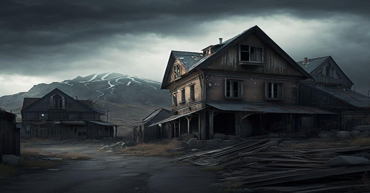
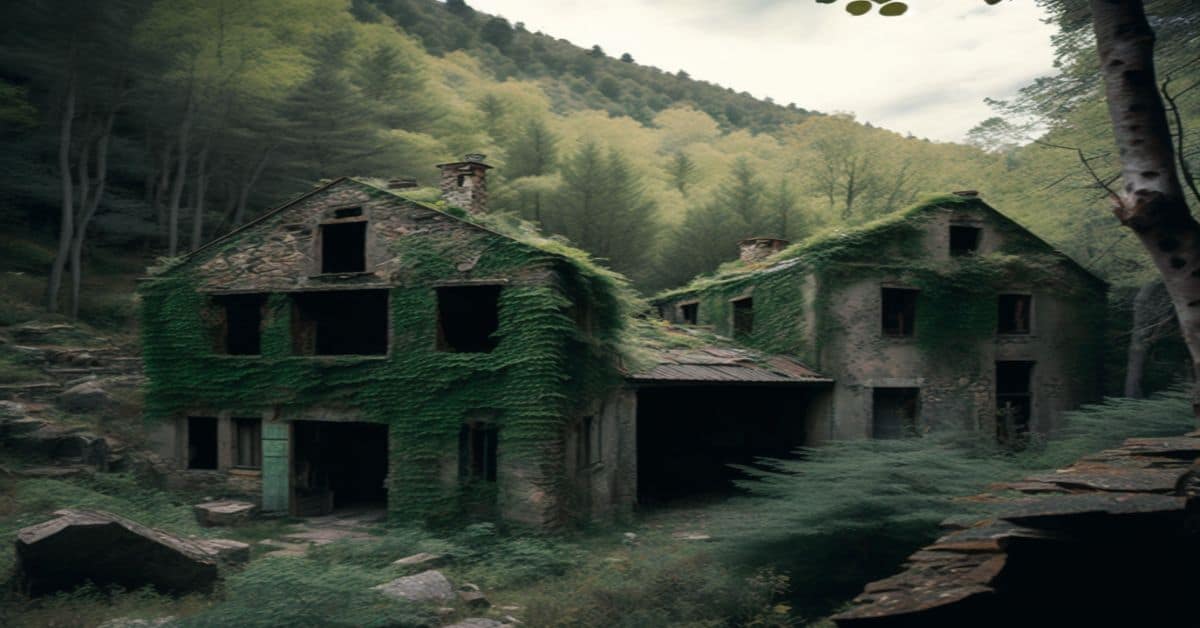
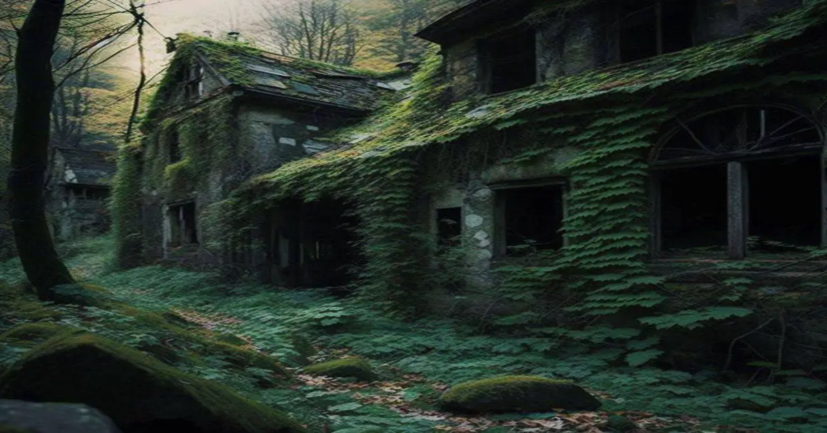
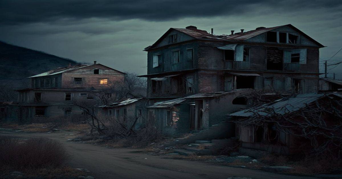
Fricks Locks Historic District or more simply Frick’s Lock is an abandoned village, along the also abandoned Schuylkill Canal, in the northeast portion of East Coventry Township, Chester County, Pennsylvania. This 18th-century village outlasted the canal, being abandoned in the late 20th century with the construction of the adjacent Limerick Nuclear Power Plant. The village on about 18 acres of land were listed as a historic district by the National Register of Historic Places in 2003. Frick’s Locks is considered a modern ghost town and, although private property, attracts visitors.
Remains:
While some buildings date from the American Revolutionary War era, the village name was a result of the “Schuylkill Navigation” canal. The canal required construction, in the early 1820s, of a set of locks at that point along the Schuylkill River. Locks #54 and #55 were built on farmland acquired from John Frick and the village became known as Frick’s Locks. The village thrived due to the economic stimulus of the canal. Eventually the commercial canal traffic declined toward the turn of the century and gave way to the railroad. Frick’s Locks had become the singular Frick’s Lock after the Pennsylvania Schuylkill Valley Railroad arrived and built a station with the latter name. The canal was filled in starting in 1942. While the railroad eventually declined after Conrail was formed on April 1, 1976, the village remained inhabited until near the end of the 20th century.
Current Status:
Because of its reputation as a modern ghost town, Frick’s Lock attracts many curious individuals and groups, including ghost hunters. Its isolated location and abandoned status also attracts vandals. The inclusion of the Frick’s Lock in the 2005 book, Weird Pennsylvania, and numerous web photo essays of the buildings have increased its popularity. The web sites have also documented its increased deterioration, including the aforementioned vandalism and the collapse of some porch structures. As of March 2008, Frick’s Lock remains a hotbed for many thrill seekers and vandals. Interest in the area has grown since a fire destroyed the Lock Tender’s House in February 2008. Since then, Exelon has made numerous attempts to clean up debris from the property and to close up open wells and open buildings. Vandals continue with their destruction of the buildings. Police are now attempting to discourage the continued vandalism by citing all unauthorized people found on the property with trespassing.
Remarks:
In the late 1990s Paul S. Frick (1925-2014), in an effort to preserve the property along with family history, began compiling all of the historical information and then hired Estelle Cremers who lived in the area, to assist him. Paul paid for all the costs and work that led to the property being listed on the National Register of Historic Places on November 21, 2003. In February 2011, East Coventry Township partnered with Exelon Corporation to preserve and protect the historic site. Under this new agreement, Exelon effectively donated the land and eleven historic structures at Frick’s Lock Village to East Coventry Township, valued at an estimated $1 million. In addition, Exelon will spend close to $2.5 million to stabilize and rehabilitate these historic structures.
Frogtown, PA
County:
Westmoreland
Zip Code:
Latitude / Longitude:
Elevation:
Time Zone:
Eastern (EST) (UTC-5)
Established:
Disestablished:
Comments:
Remains:
Current Status:
Remarks:
Fulton Run, PA
County:
Indiana
Zip Code:
Latitude / Longitude:
Elevation:
Time Zone:
Eastern (EST) (UTC-5)
Established:
Disestablished:
Comments:
Remains:
Current Status:
Remarks:
Garvers Ferry, PA
County:
Westmoreland
Zip Code:
Latitude / Longitude:
Elevation:
Time Zone:
Eastern (EST) (UTC-5)
Established:
Disestablished:
Comments:
Remains:
Current Status:
Remarks:
Gold Mine, PA
County:
Zip Code:
Latitude / Longitude:
Elevation:
Time Zone:
Eastern (EST) (UTC-5)
Established:
Disestablished:
Comments:
Remains:
Current Status:
Remarks:
Hart Town, PA
County:
Indiana
Zip Code:
Latitude / Longitude:
Elevation:
Time Zone:
Eastern (EST) (UTC-5)
Established:
Disestablished:
Comments:
Remains:
Current Status:
Remarks:
Helvetia, PA
County:
Clearfield
Zip Code:
Latitude / Longitude:
Elevation:
Time Zone:
Eastern (EST) (UTC-5)
Established:
Disestablished:
Comments:
Remains:
Current Status:
Remarks:
Hesbon, PA
County:
Indiana
Zip Code:
Latitude / Longitude:
Elevation:
Time Zone:
Eastern (EST) (UTC-5)
Established:
Disestablished:
Comments:
Remains:
Current Status:
Remarks:
Hicksville, PA
County:
Armstrong
Zip Code:
Latitude / Longitude:
Elevation:
Time Zone:
Eastern (EST) (UTC-5)
Established:
Disestablished:
Comments:
Remains:
Current Status:
Remarks:
Hookerstown, PA
County:
Indiana
Zip Code:
Latitude / Longitude:
Elevation:
Time Zone:
Eastern (EST) (UTC-5)
Established:
Disestablished:
Comments:
Remains:
Current Status:
Remarks:
Horatio, PA
County:
Jefferson
Zip Code:
Latitude / Longitude:
Elevation:
Time Zone:
Eastern (EST) (UTC-5)
Established:
Disestablished:
Comments:
Remains:
Current Status:
Remarks:
Huron, PA
County:
Westmoreland
Zip Code:
Latitude / Longitude:
Elevation:
Time Zone:
Eastern (EST) (UTC-5)
Established:
Disestablished:
Comments:
Remains:
Current Status:
Remarks:
Ingleby, PA
County:
Centre
Zip Code:
Latitude / Longitude:
40°50’40″N 77°26’6″W
Elevation:
Time Zone:
Eastern (EST) (UTC-5)
Established:
Disestablished:
Comments:
Ingleby is a ghost town located in Haines Township, Centre County, Pennsylvania, United States. Near Coburn along Penn’s Creek and surrounded by mountains, Ingleby was once a flag station on the Lewisburg and Tyrone Railroad. Lumber and lumber products were carried out of the mountains and railroad passenger service provided access to this scenic high valley. Dr. Frank Barker erected a large house near the tracks, two miles east of hunting and fishing cottages, and the spot quickly became a popular resort known as Ingleby. The section of railroad passing through Ingleby was abandoned in 1970. Today access is provided by Ingleby Road (State Route 2018, unpaved). It was at one time also named Fowler.
Remains:
It is located just up the road from the Woodward Camp, Woodward Cave, Chilcote Muscle Therapy, The Inglebean Coffeehouse, and the Elk Creek Cafe.
Current Status:
Although Ingleby has always been famous for its access to the amazing fly fishing on Penn’s Creek, most of the land in the area is privately owned. As one can see by the map the area is bordered by the Bald Eagle State Forest. While it is tempting to bike, hike, four wheel, etc. all over without permission, the roads of Lick Hollow and Rupp Hollow are privately owned and gated from access either from the State Forest OR Ingleby road. They are sufficiently posted to avoid any confusion both by landowners and the State Forest sign at the top of Lick Hollow Road defining it as a dead end. The Bald Eagle State Forest can be entered on numerous roads off of rt 45 and Poe Mountain. At one time a logging community and retreat, not much has changed, as it is a carefully watched over vacation and hunting ground with several year round residents.
Remarks:
Instanter, PA
County:
Elk
Zip Code:
Latitude / Longitude:
Elevation:
Time Zone:
Eastern (EST) (UTC-5)
Established:
Disestablished:
Comments:
Remains:
Current Status:
Remarks:
Johnetta, PA
County:
Armstrong
Zip Code:
Latitude / Longitude:
Elevation:
Time Zone:
Eastern (EST) (UTC-5)
Established:
Disestablished:
Comments:
Remains:
Current Status:
Remarks:
Keel Run, PA
County: Indiana
Zip Code: 15772
Latitude / Longitude: 40.8813° N, -78.8609° W
Elevation: 1,850 ft
Time Zone: Eastern (EST) (UTC-5)
Established: 1842
Disestablished:
Comments: Keel Run is located in Banks Twp. (Township) and is a coal mining ghost town. It is just a little short drive SE from the famous Punxsutawney, PA, and Gobbler’s Knob. From the Indiana Weekly Messenger (Indiana, Pennsylvania) on March 4th, 1926: “Miles Bouch, of Keel Run, who was injured in the mines at that place, last week, has his leg amputated on Saturday.”
Remains: According to Google Earth, there does not appear to be anything left at the location.
Current Status:
Remarks: Keel Run, PA has risen in search popularity since the release of the movie “News of the World” on December 25, 2020. Paul Greengrass’ News of the World is based mostly on Paulette Jiles’ novel the identical identity. “News of the World” stars Tom Hanks as Captain Jefferson Kyle Kidd, bringing the information of the world, he carries newspapers from Dallas, India, and Keel Run, PA.
Kelly’s Station, PA
County:
Indiana
Zip Code:
Latitude / Longitude:
Elevation:
Time Zone:
Eastern (EST) (UTC-5)
Established:
Disestablished:
Comments:
Remains:
Current Status:
Remarks:
Kinzua, PA
County:
Warren
Zip Code:
Latitude / Longitude:
41°47’0″N 79°1’0″W
Elevation:
1,916 ft (584 m)
Time Zone:
Eastern (EST) (UTC-5)
Established:
1801
Disestablished:
Comments:
Kinzua Township is a defunct township in Warren County, Pennsylvania in the United States. The township was merged in 1963 into Mead Township.
Remains:
Warren County was formed on March 12, 1800 out of Allegheny County, with the original township of Brokenstraw being formed in that October from everything in the county west of the Allegheny River and Conewango Creek; Conewango Township was formed in March 1808 and consisted of the unincorporated eastern half of Warren County. On March 8, 1821, the county divided the two townships into twelve townships; Kinzua Township was incorporated out of portions of Brokenstraw Township and was originally township “Number Eight”. On June 7, 1833, the southern half of Kinzua Township was used to create Sheffield Township. Portions of Kinzua, Pleasant, and Sheffield townships were incorporated on June 4, 1847 into Mead Township.
Current Status:
The township grew slowly at first, receiving a brief boom during the 1890s and 1900s as the lumber industry in the area surged. When the forests were depleted, population fell almost as rapidly. Kinzua Township hovered at around 500 residents from 1910 through the rest of its existence. Construction of the Kinzua Dam caused the resulting Allegheny Reservoir to submerge the majority of the communities in Kinzua Township. The township was merged into Mead Township in 1963. Kinzua’s Keystone Marker remains intact and has been relocated into the hands of a private collector.
Remarks:
Kinzua Township was located on the eastern border of Warren County, and was bounded by the Allegheny River on the northwest, Kinzua Creek (and on the other side of that, the Warren County portion of Corydon Township) to the northeast, McKean County on the east, Sheffield Township to the south, and Mead Township on the west.
Lackawanna No. 3, PA
County:
Indiana
Zip Code:
Latitude / Longitude:
Elevation:
Time Zone:
Eastern (EST) (UTC-5)
Established:
Disestablished:
Comments:
Remains:
Current Status:
Remarks:
Laquin, PA
County:
Bradford
Zip Code:
Latitude / Longitude:
41° 37′ 56″ N, 76° 39′ 3″ W
Elevation:
Time Zone:
Eastern (EST) (UTC-5)
Established:
Disestablished:
Comments:
Laquin, in Franklin Township, Bradford County, Pennsylvania, now a ghost town, was founded in 1902 as a lumber town, but when the forests played out and the mills could no longer be fed, the industry left, and the people soon followed. The population of Laquin at one time approached 2,000. (The nearby ghost town of Barclay was a coal mining town.)
Remains:
Laquin was home to five companies, all of which processed wood in one way or another. The Laquin Lumber Company (later the Central Pennsylvania Lumber Company) started out under the leadership of Watson L. Barclay, after whom Barclay Mountain was named. Laquin Lumber was under contract with the Union Tanning Company, a subsidiary of the United States Leather Company, one of the largest companies in the United States at that time. Four additional companies in operation in Laquin were Schrader Wood Company, Pennsylvania Hub & Veneer Company, Pennsylvania Stave Company, and Barclay Chemical Company.
Current Status:
In 1933, after the Barclay Mountain was clear cut and the lumber companies pulled out, a Civilian Conservation Corps (CCC) camp was established. The CCC was one of President Roosevelt’s New Deal programs. The CCC in Laquin was responsible for replanting trees on the mountain, building access roads, feeding game, and restoring the ecology. By 1941, after the CCC pulled out, Laquin was a ghost town. There are a few traces of the town today, though the last building disappeared sometime in the 1960s. The main street, which once sported a hotel, two churches, a school, a boarding house, store, depot, town building and several homes still exists in the form of the major access road.
Remarks:
The ghost towns of Laquin and Barclay are in close proximity to one another, but Laquin came into existence after Barclay, Pennsylvania. Both towns were served by the also long defunct Susquehanna and New York Railroad, which operated between Towanda, Pennsylvania and Williamsport, Pennsylvania. Most of the trackbed and bridges of the Susquehanna and New York are still in evidence throughout the valley of the Schrader Creek. The LeRoy Heritage Museum, off Rt. 414 in LeRoy, preserves the history of Laquin and Barclay Mountain through exhibits and walking tours. More information can be found at the museum website at www.leroyheritage.org.
Livermore, PA
County:
Westmoreland
Zip Code:
Latitude / Longitude:
Elevation:
Time Zone:
Eastern (EST) (UTC-5)
Established:
Disestablished:
Comments:
Remains:
Current Status:
Remarks:
Loop, PA
County:
Indiana
Zip Code:
Latitude / Longitude:
40° 53′ 59″ N, 79° 9′ 56″ W
Elevation:
Time Zone:
Eastern (EST) (UTC-5)
Established:
Disestablished:
Comments:
Loop is an unincorporated place and former town in West Mahoning Township, Indiana County, Pennsylvania. It is situated at a loop in the meandering Mahoning Creek. Lysander Barrett settled in the area around 1842; an iron furnace was erected in 1847.
Remains:
Current Status:
Before its eventual abandonment, the town had a post office, a schoolhouse, and a stop on the Buffalo, Rochester and Pittsburgh Railway.
Remarks:
Loraine, PA
County: Indiana
Zip Code:
Latitude / Longitude:
Elevation:
Time Zone: Eastern (EST) (UTC-5)
Established:
Disestablished:
Comments:
Remains:
Current Status:
Remarks: