You’ll find Maine’s ghost towns slowly disappearing beneath forest growth, from Flagstaff Lake’s submerged village foundations that surface during droughts to Askwith’s decaying post office vanishing under vegetation. Historical records document how communities like Freeman peaked at 838 residents in 1840 before complete abandonment by 1937, while Katahdin Iron Works’ stone furnaces stand as monuments to industrial decline. These settlements trace a pattern of boom-and-bust cycles—timber depletion claimed Davidson, pollution ended Swan Island’s shad fishing, and eminent domain erased entire villages—creating haunting landscapes where nature steadily reclaims humanity’s footprint.
Key Takeaways
- Flagstaff Lake’s submerged village reveals foundations when water levels drop, exposing structures burned in 1949 before flooding.
- Swan Island’s former Town of Perkins is now a wildlife refuge after abandonment in the 1940s ended industries like shipbuilding and fishing.
- Freeman’s stone foundations and cemeteries mark an 1840s sheep-farming community that disappeared by 1937 after population decline.
- Riceville’s mill ruins feature overgrown pathways and stone foundations from a demolished bark extract works with no preservation protection.
- Askwith’s abandoned post office and train station are vanishing under forest growth after the logging community’s 1930s decline.
Flagstaff Lake: A Submerged Village Beneath the Waters
When Benedict Arnold’s expedition planted a flagstaff along the Dead River in 1775, they unknowingly marked a site that would flourish for nearly 150 years before vanishing beneath the waters of Maine’s largest man-made lake.
You’ll find Flagstaff history reveals settlers arrived in the 1800s, building mills and communities that thrived until Central Maine Power acquired the land through eminent domain in the 1940s.
Despite resident outcry, crews burned remaining structures in 1949 after exhuming cemeteries and relocating gravestones.
Today, submerged memories surface when water levels drop, exposing stone foundations below. The Flagstaff Memorial Chapel in Eustis honors those displaced, while pontoon tours navigate above what became a legendary ghost town—sacrificed for hydroelectric progress and state revenue from flooded lands. The Northern Forest Canoe Trail runs across Flagstaff Lake, allowing paddlers to glide over the submerged village ruins.
The village’s prosperity stemmed from its rich soil and timber resources, which initially drew settlers and supported the establishment of both a gristmill and sawmill.
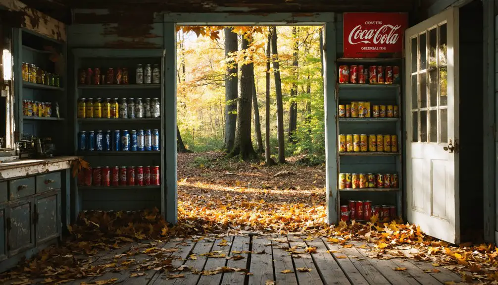
Riceville Mill: Crumbling Foundations of Industrial Heritage
While Flagstaff’s ghost town vanished beneath engineered floods, Maine’s abandoned industrial settlements met quieter ends through economic collapse and natural reclamation.
You’ll find Riceville’s crumbling foundations in Township 39 Middle Division, where F. Shaw’s bark extract works once processed tannins for industrial America. This company-built settlement exemplifies Riceville history—a self-contained community tied entirely to resource extraction’s boom-and-bust cycles.
What remains at Riceville today:
- Stone foundations and debris from the demolished mill structures
- Overgrown pathways where workers once traveled between homes and factory
- Forest vegetation reclaiming every trace of human occupation
Industrial decline erased Riceville completely after operations ceased.
Unlike preserved heritage sites, this ghost town received no National Register protection. By contrast, Waterville’s Lockwood Mill complex earned National Register designation in 2007, preserving its textile manufacturing legacy for future generations. The removal of mills and dams in the 21st century presents opportunities for ecological restoration at similar abandoned sites. The forest’s patient advance offers you unfiltered evidence of Maine’s unvarnished industrial past—raw, unreconstructed, and increasingly invisible.
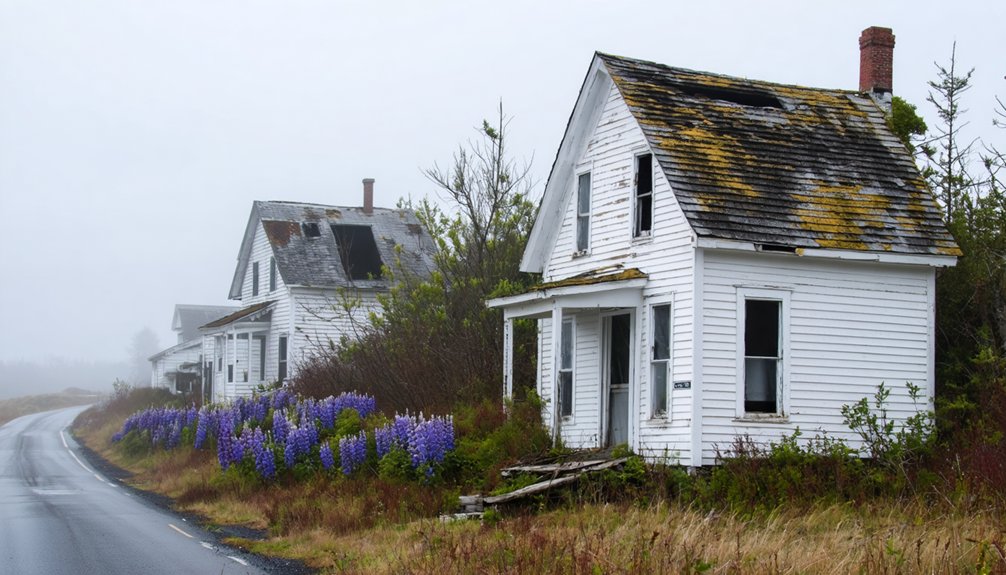
Perkins on Swan Island: Where Wildlife Now Roams
When you navigate to Swan Island today, you’ll find a landscape where agricultural fields from the 1700s merge with state-managed habitats, evidence of how Perkins Township evolved from a thriving settlement of over 100 residents to complete abandonment by the 1940s.
Historical records trace this transformation from incorporation in 1847 through disincorporation in 1918, marking the community’s gradual decline as economic pressures and environmental degradation emptied the island.
Now you can walk among preserved farmsteads and explore seven miles of trails where bald eagles nest above structures that once housed shipbuilders, ice harvesters, and fishing families. The Department of Inland Fisheries and Wildlife began acquiring land in the early 1940s, eventually managing approximately 900 acres of forest and 400 acres of open fields maintained to reflect the island’s 1940 appearance. The island was named after Steve Powell, one of the early state biologists who helped establish the wildlife management area.
Island’s Forgotten Community
Deep in the Kennebec River, where bald eagles now nest and deer roam through abandoned cellar holes, lies Swan Island—a 1,500-acre stretch that once sustained the thriving Town of Perkins.
This forgotten history began when residents incorporated independently in 1847, breaking free from Dresden’s tax burden.
By 1860, nearly 100 people had built a self-sufficient community through:
- Seven sea-going vessels launched from island shipyards
- Three ice houses harvesting winter ice for distant markets
- Shad fishing operations feeding families and commerce
The Great Depression and river pollution destroyed these industries.
By the 1940s, you’d find the last residents selling their farms to Maine’s Department of Inland Fisheries and Wildlife.
Swan Island transformed from populated township to uninhabited wildlife refuge—a reflection of nature’s patient reclamation.
Wildlife Management Today
You can access seasonal camping mid-May through mid-October, with year-round day-use options.
The Wildlife Division Director emphasizes facility maintenance alongside active management, ensuring this ghost town remains nature’s domain.
The island spans over 2000 acres in the Kennebec River, where nature continues to reclaim the remnants of the former Town of Perkins.
Public access is currently limited to personal boats or kayaks since the ferry service was discontinued in 2022.
Exploring Abandoned Structures
Since its abandonment in the 1940s, Perkins on Swan Island has stood as one of Maine’s most authentic ghost towns—a 1,500-acre island settlement in the Kennebec River where weathered structures from the 1750s onward remain frozen in time.
You’ll discover abandoned architecture that tells the story of shipbuilders, ice harvesters, and farmers who once thrived here.
Nature reclamation has accelerated as Maine’s harsh climate slowly dismantles what remains:
- Eight historic buildings from the National Register District still stand, including the Reed house exposed along overgrown roads.
- Ice house remnants from Consumer’s, Underwood’s, and Deering’s operations mark the eastern banks.
- Bald eagle nests now occupy former homesteads across the Steve Powell Wildlife Management Area.
Access requires ferry, canoe, or kayak—reservations essential for those seeking unfiltered exploration.
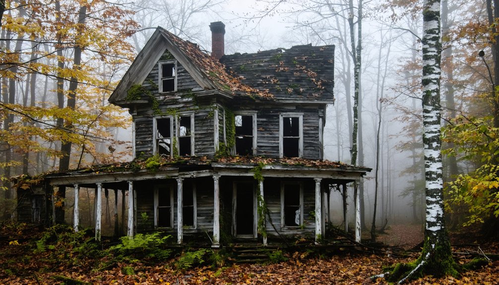
Freeman: From Revolutionary Refuge to Forgotten Farmland
If you trace Freeman’s story back to 1791, you’ll find it began as one of two Massachusetts land grants offered to survivors of Portland’s burning during the Revolutionary War.
The town’s handwritten charter documents this promise to resettle displaced colonists, who by 1797 had surveyed the wilderness and established what would become one of Maine’s most extensive sheep-farming communities.
Today, you can still locate Freeman’s stone foundations and old cemeteries in Franklin County, physical evidence of a settlement that peaked at 838 residents in 1840 before declining into abandonment by 1937.
Revolutionary Origins and Settlement
When Captain George Popham led over 100 colonists to establish a settlement at the mouth of the Kennebec River in 1607, he couldn’t have anticipated that his Popham Colony would become the first in a long pattern of failed Maine outposts.
These early settlement challenges defined Maine’s volatile colonial history, where survival meant maneuvering through both environmental hardships and colonial conflicts.
Critical Factors in Early Settlement Failures:
- King Philip’s War (1675-1678) devastated the coastline through brutal fighting with the Wabanaki Confederacy, depopulating established communities.
- Fort Loyal’s 1689 siege at Casco Bay resulted in massacre during King William’s War, forcing survivors into fortified garrisons.
- Christopher Levett’s 1623 venture near Portland ended mysteriously when settlers vanished after he departed.
Stone Remnants Mark History
While coastal settlements vanished under the pressures of warfare and displacement, inland Maine communities faced a different kind of erasure—the slow fade of agricultural abandonment.
You’ll find this transformation carved into the landscape of what was once Lot 55, platted in 1791 in Gray’s third division. The Freeman family’s 150-year stewardship left permanent marks: stone foundations emerging from reclaimed forest, cellar holes where farmsteads stood, and walls defining boundaries long since forgotten.
Their Federal-style house from 1812 anchors a National Register site that survived where others didn’t. The Windham Land Trust’s preservation easement now protects these twelve acres, ensuring this agricultural heritage remains visible.
Stone remnants don’t just mark history—they’re historical preservation in its rawest form, resisting nature’s patient reclamation.
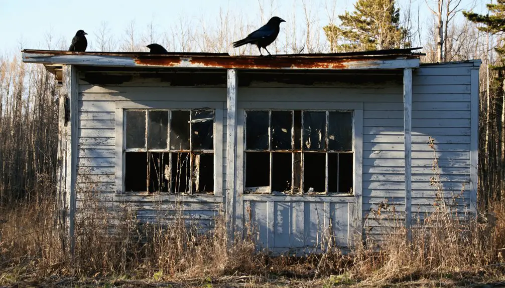
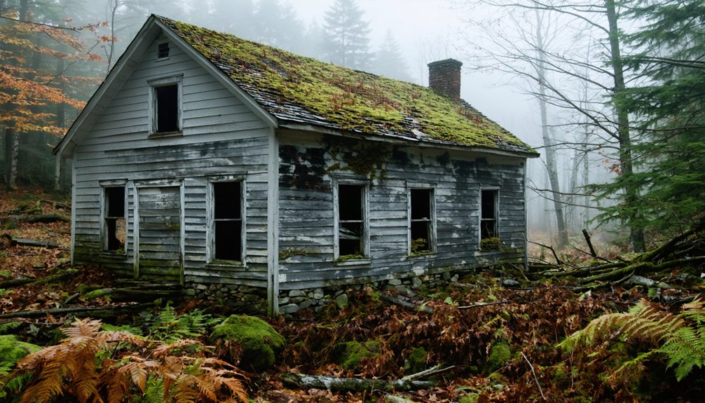
Askwith: The Settlement That Vanished Into the Wilderness
Deep within Piscataquis County—Maine’s least populous region—the forgotten settlement of Askwith once thrived between the present-day communities of Greenville and Rockwood.
Askwith history reveals a community built on timber and abundant wildlife that warranted its own post office and railway station. By the 1930s, only 56 residents remained as opportunities elsewhere beckoned.
At its peak, Askwith supported a thriving timber economy with essential infrastructure before economic decline scattered its small population.
What You’ll Find Today:
- The former post office site, abandoned since 1895
- A decaying train station along what’s now an ATV trail
- Scattered structural remnants disappearing beneath forest growth
The Tarratine transformation erased Askwith’s identity entirely—you won’t find it on modern maps.
Nature’s reclaimed this wilderness outpost, leaving only ghostly traces for those willing to venture into Piscataquis County’s isolated depths.
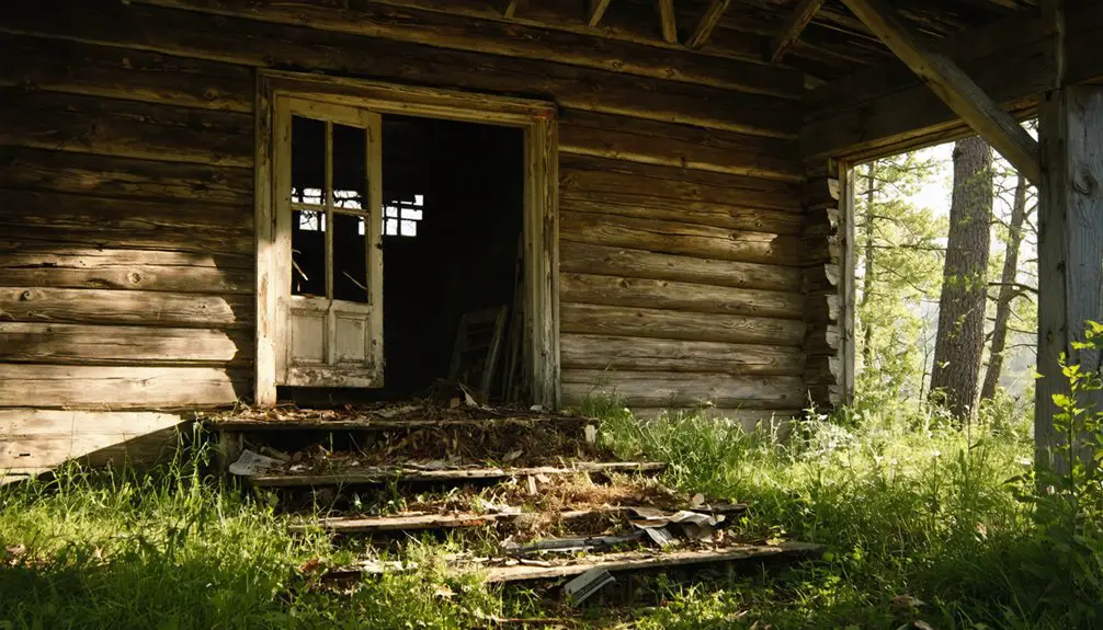
Davidson: Lumber Town Lost to the Forest
A bold gamble on Maine’s timber wealth launched Davidson in 1901 when Ora Gilpatrick—Houlton bank president and established businessman—purchased an entire township to create a logging empire.
You’ll find this logging legacy represents the classic boom-and-bust cycle that shaped northern Maine’s economy. Railway infrastructure connected the thriving mill town to regional markets, employing lumberjacks and carpenters in a timber transformation that seemed boundless.
Yet by the mid-1890s, depleted forests revealed the fatal flaw in resource-extraction communities. The town’s decline accelerated around 1931 as residents sought opportunities elsewhere, particularly in emerging mining towns.
Today, you can drive into remote woodlands to discover abandoned foundations, rusting equipment, and overgrown roads—minimal remnants of a once-prosperous settlement reclaimed by the forest it consumed.
Katahdin Iron Works: Forges Gone Cold in the Wilderness
Beneath Ore Mountain’s slopes near Dover-Foxcroft, Moses Greenleaf’s 1843 discovery of iron ore deposits triggered Maine’s most ambitious industrial venture in the wilderness.
The Katahdin Iron Works transformed raw bog ore into 2,000 tons of pig iron annually through a 55-foot blast furnace and eighteen beehive kilns, supporting 200-400 workers until 1890.
Iron production reached its zenith through:
- Swedish engineering expertise reducing silicon content for railroad car wheels and wire manufacturing
- The 1881 Bangor railway connecting wilderness operations to broader markets
- Company scrip circulating through Brownville to Bangor, creating self-sufficient economic freedom
Today, you’ll find Maine’s preserved industrial monument amid 37,000 reclaimed acres—stone furnace towers standing as evidence to the historical significance of frontier independence, now silenced by encroaching forest.
Ligonia: The Coastal Community Consumed by Time
Where South Portland’s Main Street curves toward the Veteran’s Bridge, Ligonia Village once hummed with the rhythm of Cumberland Mill’s machinery before dissolving into Maine’s industrial past.
You’ll find oil tanks where workers’ homes stood, a cemetery marking territory that Henry Bodge’s 1866 building once anchored. The mill that drove this community’s prosperity has vanished through redevelopment, leaving scattered foundations as evidence of what thrived here.
Industrial nostalgia permeates the sparse landscape you’ll navigate today. This ghost neighborhood reveals how coastal Maine’s manufacturing centers collapsed when economic currents shifted elsewhere.
Reports of ghostly encounters at the former mill site suggest memories linger beyond physical structures. You’re walking through a transformation that erased Ligonia’s industrial identity, replaced by storage facilities and memorial grounds.
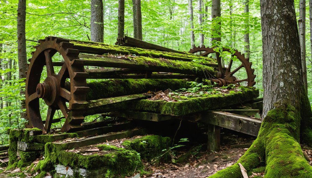
Masonville: Railroad Dreams Left to Decay
While Ligonia’s ghost emerged from coastal urbanization, Masonville tells a different story of abandonment—one written in rust and iron deep in the Allagash wilderness.
You’ll find railroad relics from Ed Lacroix’s 1926 enterprise scattered across this remote logging history site. His 13-mile railroad hauled pulpwood until 1933, when locomotives were simply left cooling in the woods—too expensive to retrieve from such isolation.
What remains accessible over 120 miles down dirt roads:
- 90-ton steam locomotives standing frozen among overgrown forest
- 1500-foot steel trestle sections from the original construction
- Conveyor systems that once moved pulpwood in 90-second intervals
These ghost locomotives require high-clearance vehicles and Maine atlas navigation—no GPS reaches here.
The wilderness reclaims Masonville slowly, preserving logging history beneath Northern Maine’s canopy.
Frequently Asked Questions
Can You Legally Visit and Explore These Ghost Towns in Maine?
You’ll face legal restrictions unless you’ve secured permission—Maine’s ghost town history shows trespassing prosecutions dating back decades. Check property records, contact owners directly, and obtain written consent before exploring. Freedom requires respecting boundaries while uncovering abandoned places.
Are There Any Guided Tours Available for Maine’s Abandoned Ghost Towns?
You won’t find guided excursions specifically for abandoned ghost towns in Maine. Most tours focus on active communities’ historical significance rather than decaying settlements. You’re free to explore independently, though documentation of these remote sites remains limited.
What Safety Precautions Should Visitors Take When Exploring These Sites?
You’ll need sturdy footwear for terrain hazards like crumbling floors and overgrown paths, plus carry bear spray for wildlife encounters. Bring respirators for mold, flashlights for dark spaces, and always maintain clear exit routes from unstable structures.
Are There Other Ghost Towns in Maine Not Mentioned in This Article?
Yes, you’ll find other abandoned settlements across Maine with historical significance. Records reveal numerous forgotten lumber camps, failed farming communities, and defunct railroad towns throughout the state’s wilderness, each representing long-term economic shifts.
How Do I Get Permission to Photograph or Film These Locations?
You’ll find most Maine ghost town filming locations require no photography permits on public lands. Contact Maine’s Department of Inland Fisheries and Wildlife for Swan Island access, but casual shooting elsewhere remains unrestricted unless posted otherwise.
References
- https://wcyy.com/maine-underwater-ghost-town-flagstaff-lake/
- https://www.mooseriverlookout.com/post/ghost-towns-in-maine-9-fascinating-places-that-rose-fell
- http://strangemaine.blogspot.com/2012/02/ghost-towns-of-maine.html
- https://www.bbcearth.com/news/abandoned-places-reclaimed-by-nature
- https://www.geotab.com/ghost-towns/
- https://www.youtube.com/watch?v=iX5zjixvUTo
- https://www.youtube.com/watch?v=dtTh_H9tR9k
- https://www.onlyinyourstate.com/experiences/maine/abandoned-swan-island-me
- https://maineboats.com/print/issue-194/flagstaff-lake-what-lies-below
- https://www.onlyinyourstate.com/nature/maine/lost-city-flagstaff-lake-me