You’ll find Missouri’s ghost towns slowly disappearing beneath forest canopy, from Melva—where a 1920 tornado killed eleven residents and left timber fragments exposed by Turkey Creek flooding—to Bloodland, which became Fort Leonard Wood target practice ranges. Flory Trading Post vanished without photographic evidence, while Hamburg, Howell, and Toonerville were erased for WWII ordnance production. Trees now dominate former mining districts like Menden, and reclamation projects have transformed contaminated sites into wildlife habitat, revealing how nature systematically reclaims abandoned settlements through ecological succession.
Key Takeaways
- Melva was destroyed by a 1920 tornado and never rebuilt, with Turkey Creek flooding exposing wooden fragments from former structures.
- Flory Trading Post closed within years due to lack of growth, leaving only overgrown remnants difficult for locals to locate.
- Bloodland was erased for Fort Leonard Wood’s WWII expansion, with only a cemetery remaining after homes became military target ranges.
- Abandoned mining towns like Menden and Lichfield show complete forest regeneration with trees dominating former districts and consuming buildings.
- Environmental restoration efforts since 1977 have transformed abandoned mine lands into wildlife habitats across former Missouri settlement areas.
Scattered Remnants Across Missouri Counties
Across Missouri’s rural landscape, ghost towns emerge as scattered puzzle pieces of failed aspirations and forgotten communities. You’ll find Melva’s ghostly echoes in timbers surfacing after storms—remnants from the 1920 tornado that permanently depleted its population.
Railroad decline removed its economic foundation, leaving only fragments as evidence human achievement once existed here.
Flory disappeared when its post office closed after expected growth never materialized. Farmers migrated toward larger towns, abandoning structures now buried under nature’s reclamation.
Longtime locals struggle pinpointing exact building locations beneath overgrown vegetation hiding rusted equipment and broken pottery.
These settlements vanished before cameras documented their existence. Children never inherited community origin stories.
Zeta persisted as little more than a railroad siding, providing minimal facilities for passing trains and crew rest before shifting traffic patterns erased its purpose. Climbing vines now adorn walls where brick dominated, creating jarring juxtaposition with nearby tourist areas—freedom’s frontier dreams consumed by relentless vegetation. Modern towns like Maranville maintain populations around 2,100 people, avoiding the fate of communities that completely disappeared from Missouri’s landscape.
When Federal Bulldozers Erased Entire Communities
You’ll find no monuments marking where Bloodland once stood before military bulldozers cleared entire neighborhoods for Fort Leonard Wood’s World War II expansion.
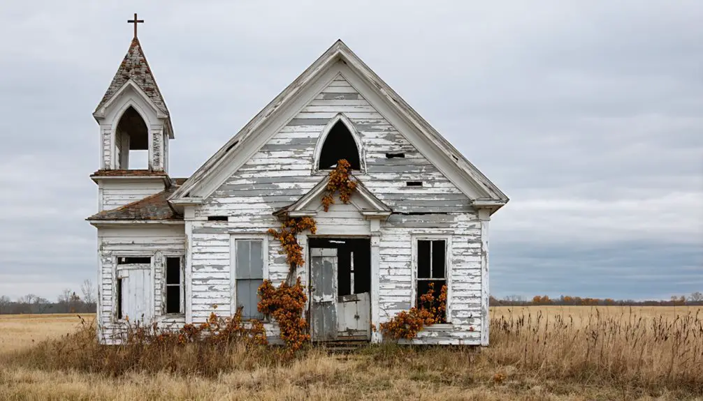
Federal authorities displaced families whose grandparents had built these homes, claiming not just fields and houses but churches and cemeteries for national defense.
At Weldon Spring, a similar pattern emerged when the government requisitioned farmland for uranium processing, leaving scattered gravestones in the underbrush as the only evidence communities had existed there.
Times Beach met its end through federal buyout offers in 1983, with the government acquiring properties based solely on square footage before disbanding the town entirely by 1986.
The cleanup operation removed 265,000 tons of contaminated soil from Times Beach before the entire community was bulldozed and buried on site.
Bloodland’s Military Displacement
When the War Department announced plans for Fort Leonard Wood in 1940, Bloodland’s approximately 100 residents had no way of knowing their community would soon exist only in memory.
Federal acquisition consumed 68,000 acres, erasing six primary towns including Bloodland, which featured a high school, two general stores, and multiple churches.
Within months, your neighbors’ homes became target ranges—windows and doors stripped for military training exercises.
The displacement initially devastated families who’d worked these small farms for generations.
Yet when Pearl Harbor thrust America into war, residents reframed their loss as patriotic sacrifice.
This community resilience transformed grief into purpose.
The post’s construction, completed in just six months, demonstrated the military’s urgency as global tensions escalated.
Bloodland also operated three filling stations, serving travelers and locals before the government’s forced relocation.
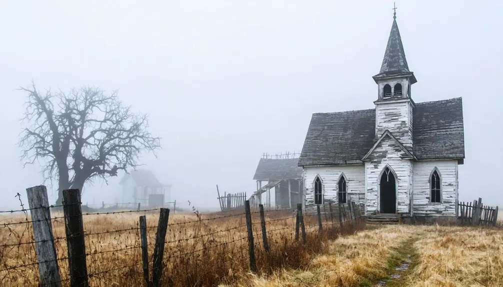
Today, only a cemetery marks where Bloodland once stood, while local folklore speaks of ghostly encounters among the ranges—a haunting Bloodland legacy that refuses erasure despite federal bulldozers.
Weldon Spring Transformation
In late 1940, letters from the United States War Department arrived at homes throughout Howell, Hamburg, and Toonerville with a stark ultimatum: residents had 45 days to abandon communities their families had built over generations.
The Weldon Spring community displacement forced 576 people from over 17,000 acres in St. Charles County. Within months, federal bulldozers erased every trace of these towns—homes, churches, schools, businesses—all demolished or burned to clear land for the Weldon Spring Ordnance Works.
The transformation was swift and absolute:
- Three entire towns vanished between 1940-1941 for explosives production
- Rolling wooded hills became America’s largest TNT and DNT manufacturing facility
- Cold War uranium processing followed WWII explosives, layering radioactive contamination atop community memories
Where neighbors once gathered, toxic waste now accumulated. Between 1941 and 1945, the facility produced over 750 million pounds of TNT and DNT before operations ceased. The factory employed over 5,000 people at its peak, transforming the razed communities into a massive industrial complex.
Tornado-Flattened Melva and Its Buried Timbers
South of Hollister, the 1920 tornado obliterated Melva so completely that cartographers removed it from Missouri maps within a year.
The Ozark hills reclaimed the flattened townsite through successive growing seasons, burying splintered timbers and building remnants beneath decades of leaf litter and topsoil.
You’ll find these wooden fragments exposed temporarily after heavy rains scour the hillsides, revealing cross-cut beams and foundation posts that mark where structures once stood.
Lucy Woods’ stone fireplace stands among the scattered debris, the sole monument to survival in a landscape where the schoolhouse and general store vanished entirely.
Abandoned buildings throughout the site continue to draw urban explorers seeking glimpses of the town’s obliterated past.
1920 Tornado Destruction
On March 11, 1920, a tornado obliterated Melva, Missouri—a thriving railroad community nestled in the hills south of Branson. The storm’s fury erased the town from existence, claiming eleven lives including nine children.
Buildings collapsed into rubble, their timbers buried beneath debris as the twister scattered remnants across Turkey Creek.
The tornado aftermath revealed nature’s unrestrained power:
- Flooded Turkey Creek prevented rescuers from retrieving bodies, forcing families to wait while waters receded.
- Victims like those suffering fractured skulls and broken thighs demonstrated the storm’s devastating impact on survivors.
- The town’s complete destruction meant no rebuilding—Melva vanished permanently.
Despite community resilience elsewhere in Missouri’s history, Melva never recovered. Heavy rains compounded the tragedy, transforming the landscape forever.
Timbers Resurface After Rains
After decades of concealment beneath creek sediment, Melva’s tornado-shattered timbers resurface when heavy rains scour Turkey Creek’s banks.
You’ll find nature’s paradox at work here—the same flooding impact that buried these 1920 remnants now exposes them. Creek erosion strips away protective soil layers, revealing wooden fragments from structures that once housed this railroad community.
The cycle repeats seasonally: storms wash over the ghost town site, currents shift sediment, and forgotten timbers emerge from their earthen graves. Timber preservation beneath wet soil has kept these pieces remarkably intact, though vegetation quickly reclaims each exposure.
You’re witnessing an ongoing archaeological process where water simultaneously destroys and reveals, conceals and uncovers. The creek itself serves as both burial ground and excavator for Melva’s vanished past.
The Vanishing Traces of Flory Trading Post
Around the turn of the twentieth century, Flory Trading Post emerged on Missouri’s frontier as a commercial hub named after a prominent state politician. This outpost promised settlers independence through essential supplies and mail services, connecting isolated homesteaders to distant markets and loved ones.
Yet Flory history reveals how quickly frontier dreams could evaporate.
Frontier aspirations proved fragile—Flory’s promise of independence vanished as swiftly as settlers abandoned its isolated trading post for distant opportunities.
The trading post’s decline came swiftly when expected population growth never materialized:
- Farmers chose larger towns offering greater commercial freedom
- The post office shuttered within just a few years
- Abandoned structures surrendered to nature’s reclamation
Today, you’ll struggle to locate where this settlement stood. Perhaps a ground depression marks the trading post site, but vegetation has consumed nearly all evidence.
No photographs document its brief existence—only archival records prove Flory once offered frontier communities a chance at self-sufficient living.
Three Towns Lost to Weldon Spring Ordnance Works
When the United States entered World War II, the Army’s urgent need for explosives manufacturing capacity erased three St. Charles County communities from Missouri’s map.
Between 1940 and 1941, federal acquisition claimed 17,232 acres of rural land, displacing Hamburg, Howell, and Toonerville—along with approximately 700 citizens who’d built lives there.
These lost histories included twenty-seven cemeteries, even Indian burial grounds, relocated to make way for Atlas Powder Company’s TNT production lines.
The forgotten communities vanished so completely that today’s visitors to the Weldon Spring site find little trace of their existence.
What remains are contaminated soils and groundwater—echoes of both the Ordnance Works’ wartime urgency and the uranium processing that followed, transforming homeland into hazardous industrial sacrifice zone.
From Coal Mine Wastelands to State Parks
Missouri’s coal mining legacy left behind a pockmarked landscape of environmental hazards that state regulators wouldn’t address systematically until 1974, when the Department of Natural Resources established its Abandoned Mine Lands Program.
Missouri’s scarred mining landscape remained unaddressed by state regulators until 1974’s systematic intervention through the Abandoned Mine Lands Program.
The 1977 Surface Mining Control and Reclamation Act provided federal funding, and by 1982, Missouri gained approval to conduct reclamation work on pre-1977 sites.
Nature’s resilience transformed these wastelands through ecological restoration efforts combining revegetation, soil improvement, and water quality remediation:
- Abandoned mines now provide wildlife habitat and recreational opportunities for hunting and fishing
- Major reclamation projects completed between 2000-2014 eliminated physical safety hazards across depleted ore sites
- FY 2018 initiatives prioritized enhancing ecological benefits beyond basic land recovery
You’ll find these reclaimed lands integrated into watersheds, demonstrating how targeted intervention accelerates environmental recovery.
Healing Contaminated Land Through Reclamation Projects
Beyond the legacy of abandoned mines, Missouri’s contaminated sites demanded different interventions—ones that targeted chemical hazards rather than physical voids in the landscape.
You’ll find remediation techniques evolved to address dioxin-contaminated soils at Sutton Branch Creek, where workers excavated 26,420 tons for off-site incineration between 1985 and 1997.
The Newton County project removed 1.5 million cubic yards of lead- and zinc-tainted earth across 300 square miles, coordinating with private landowners throughout the region’s mining belt.
Ecological restoration followed these cleanups. Over 1,000 trees now thrive on capped floodplains.
The Brownfields Voluntary Cleanup Program transformed industrial wastelands like Century Electric’s foundry into vibrant public spaces, proving contaminated ground doesn’t stay poisoned forever when you apply science and persistence.
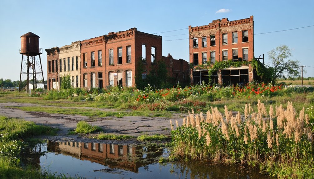
Nature’s Slow Return to Abandoned Settlement Sites
Unlike remediation sites where human intervention drives restoration, abandoned settlements across Missouri surrender to natural succession at their own pace.
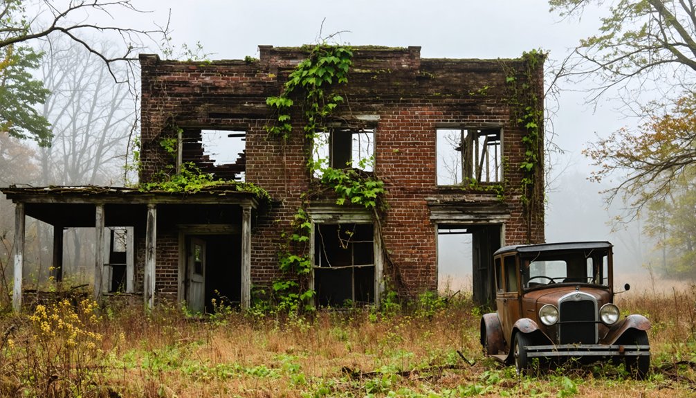
You’ll find coal towns like Menden and Lichfield where trees now dominate former mining districts, while Route 66 ghost towns showcase nature reclamation transforming crossroads into wilderness.
Urban decay progresses differently here—vines climb walls methodically, roots crack foundations, and forests reclaim what industry once held.
Nature dismantles human structures with quiet determination—roots splitting concrete, vines erasing walls, forests swallowing what civilization left behind.
Visible patterns of natural takeover include:
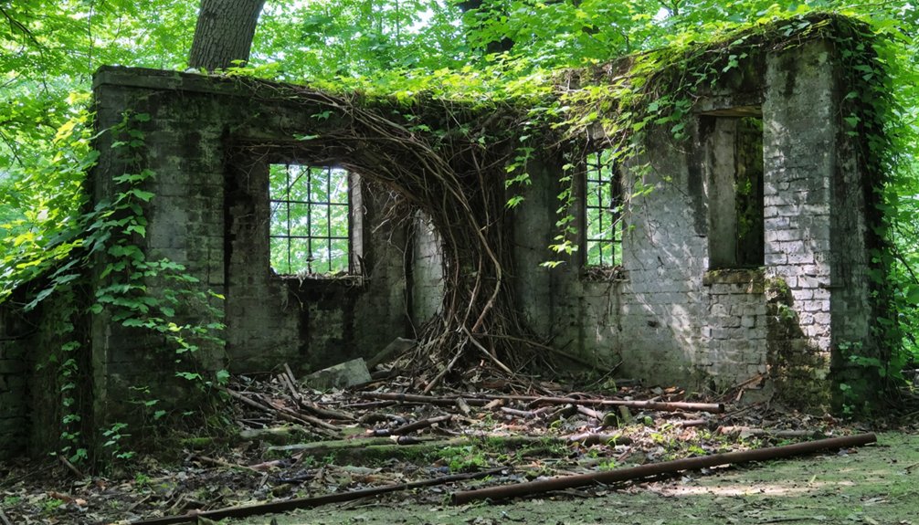
- Trees growing through roofs of Spencer’s restored buildings and Red Oak’s general store
- Vegetation consuming central Missouri farm structures, from collapsed porches in Ste. Genevieve to vine-covered garages in Huntsville
- Complete forest regeneration at former coal sites, leaving only railroad bridges as archaeological markers
This unmanaged return demonstrates nature’s patient persistence.
Transforming Ghost Towns Into Public Recreation Areas

When preservation intersects with public access, Missouri’s ghost towns gain new purpose as cultural recreation sites.
You’ll find Shoal Creek Living History Museum in Kansas City’s Hodge Park exemplifies this transformation—historic 1800s structures relocated since 1975 now anchor free public recreation spaces open dusk to dawn. The weekday closures preserve an authentic ghost town atmosphere while reenactors animate settlement-era narratives during special events.
Beyond single sites, historical societies coordinate self-guided driving tours connecting multiple ghost towns across 90-minute routes threading rural landscapes and suburban sprawl. Ten ghost towns exist within 25 miles of Kansas City alone.
Freedom Rings art installations and historic markers transform these abandoned settlements into accessible cultural corridors, where railroad tracks and pastures maintain agricultural heritage alongside modern recreational amenities.
Frequently Asked Questions
What Artifacts Can Visitors Legally Collect From Missouri Ghost Town Sites?
You can’t legally collect any artifacts from Missouri ghost town sites. Ghost town sites carry legal restrictions with $2,000 fines protecting them. Artifact preservation requires you leave everything undisturbed, as state law claims ownership of all items.
Are There Guided Tours Available to Explore These Reclaimed Ghost Towns?
No guided tours exist for Missouri’s reclaimed ghost towns. You’ll find self-guided historic explorations only, as nature’s overtaken Bloodland, Melva, and Flory without preservation efforts. Military restrictions and ecological reclamation prevent organized访问.
How Do Property Rights Work for Land Where Ghost Towns Existed?
Missouri’s ten-year adverse possession rule means you’ll face complex land ownership battles over ghost town sites. Legal implications include proving continuous use, though government parcels remain immune, preserving historical landscapes from private claims.
Can Former Residents or Descendants Visit Gravesites at These Locations?
Grave site access remains severely restricted across these locations. You’ll find descendants’ rights fundamentally unrecognized—military installations and environmental remediation projects block entry, while nature’s reclamation has obscured unmarked burial grounds, leaving families unable to honor ancestors.
What Wildlife Species Now Inhabit These Former Ghost Town Areas?
You’ll find diverse species thriving there—armadillos, zebra swallowtails, and screech owls demonstrate remarkable wildlife adaptation. Historical records show species diversity increased post-abandonment, with nocturnal pollinators and cave-dwelling bats reclaiming these liberated landscapes naturally.
References
- https://dnr.mo.gov/document-search/missouri-department-natural-resources-top-accomplishments-pub2960/pub2960
- https://everafterinthewoods.com/abandoned-ghost-towns-in-missouri-that-history-buffs-love-to-explore/
- https://en.wikipedia.org/wiki/List_of_ghost_towns_in_Missouri
- https://www.bbcearth.com/news/abandoned-places-reclaimed-by-nature
- https://www.lovemoney.com/gallerylist/86648/americas-empty-ghost-towns-and-why-theyre-abandoned-today
- https://www.osmre.gov/sites/default/files/inline-files/OSMRE FY 2018 Annual Report_0.pdf
- https://dnr.mo.gov/land-geology/hazards/abandoned-mine-lands/viewer
- https://www.nature.org/content/dam/tnc/nature/en/documents/1/1/11.3.25_TNC_Mining_the_Sun_Report.pdf
- https://ruralresurrection.com/ghost-towns-times-beach-missouri/
- https://www.youtube.com/watch?v=ApiGf0lxnSo