You’ll find Missouri’s ghost towns transformed each spring as wildflowers carpet abandoned streets and crumbling foundations. Times Beach State Park offers trails along the Meramec River where 800 homes once stood before 1983’s evacuation, while Arlington’s riverside ruins bloom with native flowers near 1926 Route 66 pavement. Devil’s Elbow still serves travelers at historic cafes, and Avilla’s stone walls tell stories of frontier commerce. Rosati’s century-old vineyards frame Italian heritage sites, creating perfect springtime exploration where each location reveals deeper connections between Missouri’s Route 66 legacy and nature’s seasonal renewal.
Key Takeaways
- Arlington offers riverfront ruins, original 1926 Route 66 pavement, and wildflower trails amid spring blooms along Little Piney Creek.
- Times Beach, evacuated in 1983, now features Route 66 State Park with 7 miles of riverside trails and spring wildflowers.
- Avilla showcases crumbling 1830s-1880s stone structures, abandoned storefronts, and Civil War legends along Missouri Route 96.
- Rosati preserves Italian American heritage with 175 acres of vineyards, historic churches, and 80-year-old vines blooming in spring.
- Spring highlights scenic river bluffs, panoramic cliff views, and lush greenery throughout Missouri’s historic Route 66 ghost town corridor.
Arlington: Riverside Ghost Town With Wildflower Trails
Tucked where the Little Piney Creek spills into the Gasconade River, Arlington sits three and a half miles down a dead-end stretch of original Route 66—so remote that most drivers blast past on I-44 without knowing it exists.
You’ll find riverfront ruins worth the detour: collapsed John’s Modern Cabins with standing outhouses, a brick store, and foundations where Vernelle’s Motel once served fried chicken to travelers.
Spring transforms the flood-prone bottomland into wildflower trails winding through native blooms.
The original 1926 pavement—Missouri’s last paved Route 66 section—leads through wooded riverside corridors exploding with color.
The town thrived in the 1860s when wealthy hunters and fishers arrived by private railroad cars from Chicago and St. Louis, drawn to the pristine river confluence.
Arlington once served as a stop on the Pacific Railroad, later becoming part of the St. Louis & San Francisco Railroad network that shaped its development as a transit hub.
Six miles north, prehistoric stone cairns perch on cliffs overlooking the Gasconade Valley, offering hiking routes with panoramic spring views nobody’s rushing you to leave.
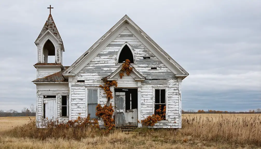
Times Beach: Evacuated Community Turned State Park
How does an entire town vanish from a toxic threat you can’t see or smell? Times Beach’s 2,000 residents discovered their streets harbored dioxin from Agent Orange production—invisible poison that forced a complete 1983 evacuation.
The EPA bought out 800 homes using Superfund money, and by 1985, the town ceased to exist.
You’ll find redemption in its transformation. After environmental cleanup incinerated 265,374 tons of contaminated soil, the 409-acre Route 66 State Park emerged in 1999.
Spring brings you trails along the Meramec River, where wildflowers now grow on ground once too dangerous to touch.
The visitor center occupies the 1935 Bridgehead Inn—historic preservation meeting nature’s resilience. The park includes the historic Meramec River bridge, listed on the National Registry of Historic Places, connecting you to Route 66’s storied past. Over 7 miles of trails for hiking, biking, and horseback riding wind through the park along old roads and historical paths.
It’s proof that even America’s most contaminated places can become sanctuaries of freedom again.
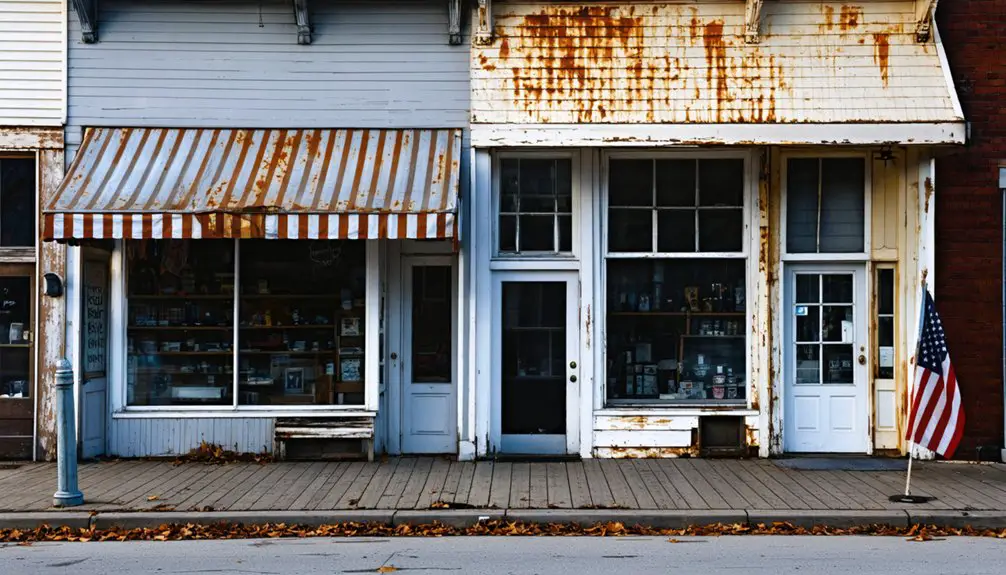
Halltown: Antique Shops Among Preserved Route 66 Buildings
While Times Beach disappeared entirely, Halltown chose a different path—preserving its Route 66 bones as antique treasure.
You’ll find this semi-ghost town thirteen miles west of Springfield, where vintage architecture tells stories of travelers who once rolled through on their way to California dreams.
The town’s resilience shines through preserved buildings:
- Whitehall Mercantile – Former IOOF Lodge turned antique shop (storm-damaged April 2025)
- Cameron’s Antiques at 130 Main Street
- Victorian wood-frame structures from circa 1900
- False-front buildings with modernized sheet metal
- Rock Prairie Cemetery (1838) – 0.7 miles south on Highway Z
With 170 residents serving Springfield commuters and local farmers, Halltown’s antique shopping scene breathes life into what I-44’s 1965 bypass tried to kill.
You’re walking authentic Main Street America here, where the community once earned the nickname “Antique Capital of the U.S.” with seven antique stores during its peak.
Just west of town, the Halltown Bridge spans Billies Creek with its 1923 riveted Pratt Pony Truss design, a testament to the engineering that first connected Route 66 travelers to this corner of Missouri.
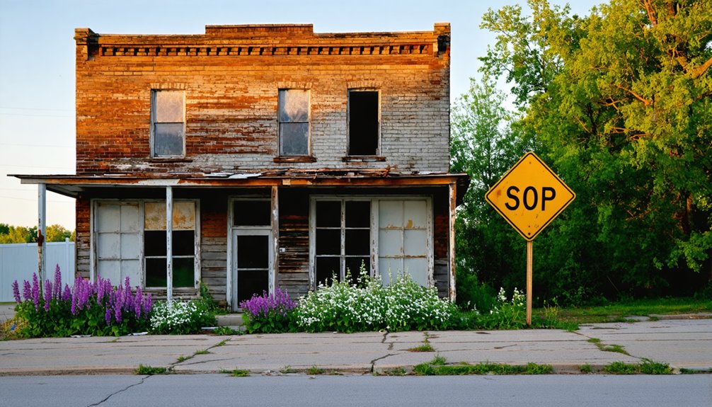
Avilla: Former Trading Hub With Crumbling Structures
The crumbling stone walls of French’s grocery store mark your arrival in Avilla, where 1830s prosperity dissolved into rural silence. You’ll wander past the weathered two-story Odd Fellows Lodge and empty lots where storefronts once thrived, serving 500 residents during the 1880s boom.
Stone walls whisper of vanished merchant dreams, where five hundred souls once bargained beneath hand-painted signs now surrendered to Missouri wind.
The town’s abandoned architecture tells stories of bypassed opportunities—first when railroads chose other routes, then when I-44 replaced Route 66 in the 1960s. A devastating 1971 lumberyard fire destroyed multiple structures, accelerating the town’s decline into the ghost town you see today.
Spring exploration reveals haunted legends threading through these 120 acres. The “Death Tree” commemorates a Civil War execution, while shadow figures reportedly drift through vacant buildings. This Missouri ghost town shares its name with several other geographic locations across the United States.
You can still trace Missouri Route 96 through town, imagining the 1932 O’Malley Gang robbery or Clyde Barrow casing the former bank. Today’s 100 residents share space with echoes of wagon trains and forgotten commerce.
Rosati: Little Italy’s Vineyards and Heritage
From Avilla’s ghostly silence, Route 66 leads you northeast to Rosati, where weathered grape arbors replace abandoned storefronts. This unincorporated settlement preserves its Italian American heritage through 175 acres of working vineyards and faded landmarks from the 1890s immigration wave.
You’ll discover Rosati’s viticultural legacy along the Mother Road:
- St. Anthony Catholic Church (1906) anchors the community’s spiritual center
- Cardetti general store stands weather-beaten, refusing to surrender
- Former Rosati Winery operates as a museum honoring 70+ years of production
- Concord grape stands dot Route 66, some vines exceeding 80 years
- Historic schoolhouse hosted spaghetti suppers and nuns teaching morning religion classes
The town earned its current name in 1934, honoring Bishop Joseph Rosati who served the region’s growing Catholic population. Italian immigrants arrived from Sunnyside Plantation, bringing their expertise in grape cultivation that would transform the region. Spring brings renewed life to these century-old vines. The Knobview Boys Club building still hosts wedding receptions, proving this “Little Italy” won’t completely fade.
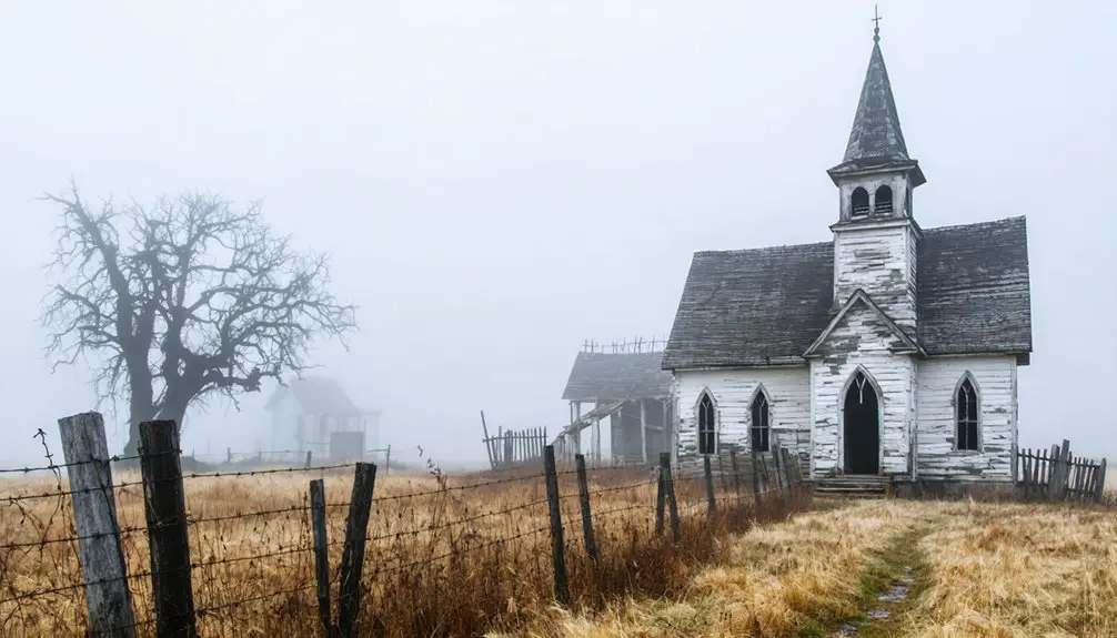
Devil’s Elbow: Abandoned River Bend on Historic Route 66
Where Big Piney River twists into one of Missouri’s sharpest bends, Devil’s Elbow clings to Route 66’s original 1926 alignment like a stubborn memory.
You’ll find the 1923 steel truss bridge—restored in 2013 through architectural preservation efforts—still spanning water that once carried timber to St. Louis.
The notorious S-curve they called “Bloody 66” claimed lives before wooden barriers appeared in 1928.
Spring brings the river landscape alive: bluffs tower over crystal water, and you can still drive the authentic 1920s pavement.
The Elbow Inn and Devil’s Elbow Cafe remain open, serving travelers who seek what Missouri Life magazine recognized in 2019 as the state’s Best Route 66 Location.
It’s untouched, unincorporated, and utterly yours to explore.
Frequently Asked Questions
What Permits or Fees Are Required to Explore Missouri Ghost Towns?
You’ll find freedom from fees—forgotten ghost towns typically don’t require permits for exploring. However, respect historical preservation efforts and legal restrictions on private property. Always seek landowner permission before wandering through weathered, abandoned structures beckoning adventurous souls.
Are Missouri Ghost Towns Safe to Visit With Children in Spring?
Most Missouri ghost towns aren’t safe for children due to contamination risks, unstable structures, and wildlife encounters. Times Beach remains restricted, while conservation areas lack historical preservation oversight. You’ll face ticks, snakes, and hidden hazards unsuitable for young explorers.
However, for those keen on adventure, there are several ghost towns to explore in Missouri that offer a glimpse into the past while being more accessible. Travelers should prepare with appropriate gear, as some locations can be challenging to reach, but the experience can be rewarding. Exploring these towns can provide fascinating insights into Missouri’s history and the stories of those who once lived there.
What Photography Equipment Works Best for Capturing Abandoned Structures?
Like preserving fragments of time in amber, you’ll capture historical preservation best with a mirrorless camera (Sony A7R III), wide-angle lens (16-35mm f/2.8), sturdy tripod, and powerful flashlight—essential photography tips for documenting Missouri’s vanishing architectural stories.
Can Visitors Camp Overnight Near Missouri Ghost Town Sites?
You’ll find excellent camping near Missouri’s ghost towns, particularly along Route 66 and at Maramec Spring Park. Remember wildlife safety protocols and respect historical preservation efforts while exploring these atmospheric sites under starlit skies.
Annual events in Missouri ghost towns often bring together local communities and history enthusiasts alike. These gatherings showcase unique crafts, storytelling, and guided tours, allowing visitors to immerse themselves in the rich heritage of these once-thriving areas. Be sure to check local listings for specific dates and activities that capture the spirit of Missouri’s fascinating past.
Which Ghost Towns Have Nearby Restaurants or Facilities for Visitors?
You’ll find fabulous facilities at Times Beach’s visitor center and Arlington’s Stony Dell restaurant. Red Oak II’s restored diner serves travelers exploring historical preservation sites. These stops blend local legends with practical amenities, letting you roam freely between ghost town adventures.
References
- https://en.wikipedia.org/wiki/List_of_ghost_towns_in_Missouri
- https://www.ghosttowns.com/states/mo/mo.html
- https://www.legendsofamerica.com/mo-ghosttowns/
- https://www.youtube.com/watch?v=ERFnlJ5pjBg
- https://www.youtube.com/watch?v=eXBMX4O1-pQ
- https://www.visitmo.com/articles/missouris-most-haunted-places
- https://www.geotab.com/ghost-towns/
- https://abandonedmo.com/amo-map/
- https://www.youtube.com/watch?v=Xrht4eEms6o
- https://www.frrandp.com/2020/09/the-ghost-town-of-arlington-missouri.html