You’ll find Rhode Island’s most accessible abandoned sites emerging from winter’s grip each spring: Hanton City’s colonial stone foundations dating to 1676, Fort Wetherill’s concrete bunkers spanning Revolutionary to WWII eras, and Rocky Point‘s 120-acre amusement park ruins along Narragansett Bay. The season offers ideal conditions—melting snow reveals archaeological features while vegetation remains manageable for exploration. Napatree Point’s Fort Mansfield remnants and the Enchanted Forest’s fairy-tale structures provide additional discovery opportunities. The following sections preserve detailed histories, access information, and contextual significance for each location.
Key Takeaways
- Hanton City offers colonial-era stone foundations, cemetery ruins, and artifacts hidden in dense vegetation from a 1676 settlement abandoned by 1800.
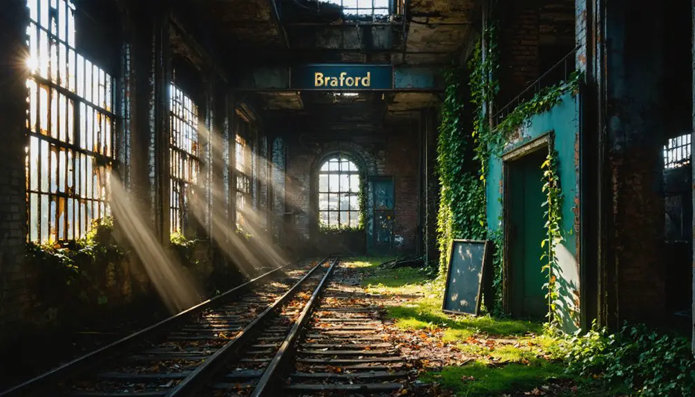
- Ramtail Factory features 1813 industrial ruins beside Ponagansett River, accessible from Ramtail Road, designated Rhode Island’s only officially haunted location in 1885.
- Rocky Point Amusement Park preserves 170 years of history with carousel and roller coaster remnants along Narragansett Bay, closed since 1995.
- Napatree Point combines Fort Mansfield ruins from 1902 with spring bird sanctuary access, ideal for wildlife observation and exploring recovered dunes.
- Fort Wetherill displays three centuries of military history through concrete bunkers, underground tunnels, and panoramic Narragansett Bay views on Conanicut Island.
Hanton City: A Colonial Settlement Lost to Time
Deep in Smithfield’s woodlands lies Hanton City, a colonial-era settlement that vanished from Rhode Island’s landscape centuries ago. You’ll find stone foundations, crumbling walls, and the Alfred Smith Cemetery hidden beneath dense vegetation—archaeological discoveries that reveal a community of tanners and bootmakers who settled here around 1676.
The Paines, Hantons, and Shippees families carved out lives in this isolated trading stop, only to abandon it by the early 1800s when industrial mills offered better prospects. The settlement’s economy relied heavily on stone quarries, which provided essential materials before being replaced by mechanized factories.
Spring’s emerging foliage makes navigation challenging, but you’re free to explore the Hanton City Trail on Dow Chemical’s land. Metal detector enthusiasts have uncovered old bottles and cans, some still sealed, scattered among the ruins alongside ceramic pieces and discarded artifacts from various eras.
Ghost stories swirl around this “Lost City,” with legends claiming it harbored loyalists, fugitives, or plague victims—though evidence suggests economic hardship simply drove residents away.
Napatree Point: Hurricane-Ravaged Coastal Community
Since 1614, Napatree Point has witnessed dramatic transformations—from Dutch trader Adriaen Block’s “Nap of Trees” observation to today’s windswept barrier beach where no trees have grown since the Great Gale of 1815.
From Adriaen Block’s forested peninsula to a treeless barrier beach—four centuries of coastal transformation in one windswept landscape.
You’ll find crumbling Fort Mansfield remains hidden in vegetation, a coastal defense installation commissioned in 1902 but decommissioned just five years later after war games revealed fatal design flaws. The fort once housed three large canon batteries and was staffed by up to 100 soldiers before its abandonment.
Spring offers ideal conditions for exploring this accessible peninsula while observing storm recovery processes—dunes and beachgrass naturally rebounding from winter damage.
The 1938 Hurricane obliterated all 39 cottages and killed 15 residents, demonstrating barrier beach vulnerability.
Today’s preserved landscape emphasizes historical preservation over development, letting you freely explore gun emplacements and underground chambers while witnessing ongoing ecological resilience. The area functions as a bird sanctuary during nesting season, protecting the natural environment along this remote coastal point.
Rocky Point Amusement Park: Echoes of Laughter and Fun
Where Napatree Point tells its story through absence, Rocky Point Amusement Park whispers through decaying infrastructure—170 years of American leisure history concentrated on 120 acres of Narragansett Bay shoreline.
You’ll find vintage amusement nostalgia embedded in this “Coney Island of Rhode Island,” where carousel horses once spun from 1852 onward and the Wildcat roller coaster thrilled working-class families.
Spring reveals haunted ghost stories within the skeletal remains: Colonel Harrington’s ten-story observation tower site, the vanished Utopia Ballroom foundations, arches salvaged from the 1964 World’s Fair.
Twin hurricanes in 1938 and 1954 devastated structures, yet the park persisted until financial collapse in 1995.
You’re walking where President Hayes made history’s first presidential telephone call in 1877—a freedom-seeking destination now reclaimed by nature since 2008.
The grounds once hosted minor and major league baseball at Rocky Point Grounds stadium from 1891 to 1917, where Babe Ruth famously launched a ball into the bay in 1914.
The New York Times praised the location in 1872 as a delightful and popular seaside destination, cementing its reputation among East Coast resorts.
Fort Wetherill: Military Ruins Overlooking the Sea
You’ll discover Fort Wetherill‘s concrete bunkers and gun emplacements rising from Jamestown’s granite cliffs, where military operations ceased in 1946 after serving from Revolutionary War earthworks through World War II.
The 61.5-acre site, acquired by Rhode Island in 1972, preserves underground corridors, ammunition tracks, and disappearing rifle mounts from the 1905 Endicott Defense system that once guarded Narragansett Bay’s East Passage. Before its transformation into modern coastal defenses, the original Fort Dumpling tower was systematically destroyed in 1898, ending its century-long existence as both a functional fortification and romantic scenic landmark.
Spring visitors can trace the fort’s evolution from the 1776 Dumpling Rock Battery through successive occupations by American, British, and French forces, culminating in its 1900 dedication to Captain Alexander M. Wetherill. The circular cannon placements feature mounting tracks that allowed artillery pieces to rotate for harbor surveillance, with some bases now collapsed or damaged from decades of abandonment.
Historic Military Fort Structure
Perched atop dramatic granite cliffs on Conanicut Island’s eastern tip, Fort Wetherill stands as Rhode Island’s most substantial military ruin—a layered archaeological record spanning from Revolutionary War earthworks to World War II coastal defenses.
The site’s military history began in 1776 with an 8-gun battery protecting Narragansett Bay.
It evolved through multiple occupations by American, British, and French forces.
The 1898 Endicott-era expansion transformed these coastal defenses into a formidable fortification featuring:
- 12-inch and 10-inch disappearing rifles designed against ironclad warships
- Underground labyrinths with ammunition corridors and cable passages
- Concrete gun emplacements from 1905-1906 construction
- WWII-era barracks serving coastal artillery units and POW training
During 1945, the fort housed nearly 2,900 German POWs in a classified reeducation program focused on police training to prepare anti-Nazi prisoners for postwar German administrative roles.
The fortification was named for Captain Alexander Macomb Wetherill, killed at the Battle of San Juan Hill, honoring his service during the Spanish-American War.
You’ll discover stripped concrete structures—doorways leading to shadowy passages where military infrastructure once hummed with purpose, now reclaimed by time and Rhode Island’s spring vegetation.
Scenic Coastal Views
From Fort Wetherill’s 100-foot granite precipices, you’ll command sweeping views across Narragansett Bay’s East Passage—the same strategic vantage point that made this location militarily indispensable for over two centuries.
Spring transforms these cliffs into prime territory for observing marine wildlife migrations and scanning horizons once watched for enemy vessels.
You’ll discover multiple overlooks accessible via the park loop, each revealing different perspectives of the thrashing waters below and Fort Adams across the channel.
The crystalline cove waters invite kayaking and snorkeling adventures, though coastal erosion continually reshapes these jagged formations.
Navigate carefully—no barriers protect you from the precipitous drops.
Between May and October, you’ll find facilities supporting your exploration of these 61.5 acres, where photography captures both natural grandeur and decaying military remnants against endless maritime vistas.
Exploring Abandoned Fortifications
Beyond the scenic overlooks, Fort Wetherill’s concrete fortifications reveal 169 years of American coastal defense evolution, beginning with the 8-gun earthwork battery patriots constructed at Dumpling Rock in 1776.
You’ll navigate underground tunnels connecting ammunition tracks and gun emplacements—remnants of the Endicott-era modernization that replaced medieval cannons with 12-inch disappearing rifles designed against ironclad warships.
The preserved military infrastructure includes:
- Solid concrete batteries from 1890s construction
- Underground labyrinths with intact doorways and passages
- Cable conduits and ammunition transport corridors
- WWII-era wooden barracks foundations
Renamed for Captain Alexander M. Wetherill in 1900, the fortifications served through 1946 before 25 years of abandonment.
Rhode Island’s 1972 acquisition transformed these stripped emplacements—once bristling with coastal artillery—into accessible ruins where you’ll trace America’s defensive architecture from Revolutionary earthworks through World War II.
Enchanted Forest Amusement Park: A Fairytale Frozen in Time
You’ll find this 31-acre fairytale village carefully integrated into its wooded landscape, where original owners Marcus Jones and Philip Herlle preserved existing trees and mountain laurels to create an authentic natural setting rather than a roadside attraction.
The park’s structures—including Humpty Dumpty’s brick wall, the House That Jack Built, and the Old Woman’s Shoe—now stand abandoned among overgrown paths since the 2005 closure.
However, the property remains privately owned with no-trespassing enforcement as of July 2021, making legal exploration impossible despite the site’s historical significance to southern New England families.
Natural Fairytale Park Design
When Marcus Jones and Philip Herlle opened Enchanted Forest on June 17, 1972, they didn’t bulldoze the landscape into submission—they built around it. The founders preserved existing trees, shrubs, and mountain laurels, creating a fairy tale village that felt organic rather than manufactured.
A central pond anchored the design, with waterfalls at each end providing a natural soundtrack to childhood adventures.
The park’s environmental integration included:
- Wildflower meadows woven between attractions
- Hidden waterfalls that masked the sounds of nearby civilization
- Native vegetation protecting the site’s ecological character
- Minimal grading that respected the land’s original contours
Chariho High School vocational students constructed the structures, ensuring local craftsmanship honored the natural setting.
This preservation-focused approach created an intimate scale that distinguished it from corporate theme parks.
Exploring the Abandoned Grounds
Since 2005, the Enchanted Forest’s 31 wooded acres have transformed from a meticulously maintained fairy tale village into a cautionary tableau of institutional decay.
You’ll find nature reclaiming asphalt parking lots while overgrown weeds shroud the iconic Humpty Dumpty sign.
Buried brush conceals remnants of the petting zoo and mini-golf course, though two structures still stand among the encroaching forest.
While haunted stories and urban exploration enthusiasts might find this site compelling, the property’s private ownership strictly prohibits trespassing—prosecution awaits violators.
As of 2021, new gates and No Trespassing signage reinforce restricted access.
The 2015 sale promised restoration efforts, yet the grounds remain largely abandoned.
Document this vanishing landscape through archived photographs and oral histories rather than risking legal consequences for unauthorized entry.
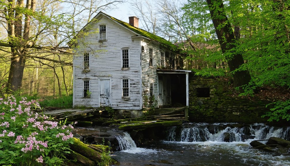
Ramtail Factory: Industrial Heritage in Decay

Deep in Foster’s woodlands, the remnants of Ramtail Factory mark one of Rhode Island’s most documented industrial tragedies. Established in 1813 by William Potter’s family partnership, this woolen mill thrived until Peleg Walker’s mysterious 1822 death ended its prosperity.
Workers abandoned the cursed site, leading to its 1850 closure and eventual 1873 burning.
Spring exploration reveals:
- Foundation walls beside the Ponagansett River where machinery once operated
- Stone remnants from the original 1790 settlement structures
- Forest-reclaimed pathways connecting scattered village ruins
- The 1885 Census designation as Rhode Island’s only officially haunted location
You’ll find these industrial decay markers just five minutes into the woods off Ramtail Road. The haunted legends persist through paranormal investigations, though nature’s reclamation offers its own compelling narrative of abandonment.
Frequently Asked Questions
What Permits or Permissions Are Required to Visit Rhode Island Ghost Towns?
Like wandering through open archives, you’ll find historical preservation sites on public trails need no permits. However, permission regulations require you to obtain landowner consent before accessing privately-owned ghost town locations—respecting property rights protects these vulnerable historic resources.
Are Ghost Town Sites in Rhode Island Safe for Children to Explore?
Most Rhode Island ghost town sites aren’t safe for children due to structural collapse risks and hazardous debris. You’ll find preservation efforts haven’t secured these locations for urban exploration. Consider documented historical sites with maintained access instead.
If you’re interested in the eerie charm of abandoned places, you might be tempted to explore Rhode Island’s ghost towns. However, for a safer alternative, there are guided tours that delve into the rich history of these forgotten communities. These experiences offer a glimpse into the past without the risks associated with exploring derelict sites.
What Should I Bring When Visiting Abandoned Locations in Spring Weather?
Don’t overpack—you’ll need layered clothing for variable spring temperatures, sturdy hiking boots for rocky terrain, and a camera for wildlife photography. Bring water, navigation tools, and respect for these historically significant sites during your spring hiking adventures.
Can I Camp Overnight Near Any Rhode Island Ghost Town Sites?
You can’t legally camp overnight at Rhode Island’s abandoned sites due to historical preservation rules and safety concerns. Only the Conjuring House offers authorized GHamping seasonally, providing unique photography opportunities while respecting the property’s documented history.
Are There Guided Tours Available for Rhode Island’s Abandoned Places?
Yes, you’ll find guided tours exploring Providence’s historic landmarks and Newport’s haunted sites, covering over 385 years of history. However, abandoned locations like Hanton City remain un refuge—accessible for independent exploration rather than organized commercial tours.
References
- https://podcasts.apple.com/us/podcast/57-ghost-town-hanton-city/id1554896421?i=1000563483124
- https://carte-urbex.com/en/blogs/infos/top-10-abandoned-places-in-rhode-island
- https://newenglandwithlove.com/ghost-towns-in-rhode-island/
- https://www.youtube.com/watch?v=kpy7zlXYrAU
- https://www.rhodeislandredfoodtours.com/2024/10/28/haunted-sites-of-rhode-island/
- https://www.rimonthly.com/haunted-places-rhode-island/
- https://kids.kiddle.co/Hanton_City
- https://www.youtube.com/watch?v=3bFcmv7IH40
- https://www.chowdaheadz.com/blogs/news/new-england-myths-legends-the-ruins-of-hanton-city-rhode-island
- https://smithapplebyhouse.org/arethereghosts/