You’ll find Missouri’s underwater ghost towns primarily beneath Table Rock Lake and Lake of the Ozarks, where dam construction between 1931 and 1962 deliberately submerged dozens of communities. Table Rock Lake flooded settlements like Oasis (now 100 feet deep) and Ragtown in 1959, while Lake of the Ozarks claimed eight towns including Old Linn Creek starting in 1931. The flooded Bonne Terre Mine, operational until 1962, created a 457,000-square-foot underground lake with preserved industrial artifacts. These sites now serve as archaeological diving locations with visibility exceeding 100 feet, offering documented evidence of Missouri’s submerged heritage.
Key Takeaways
- Lake of the Ozarks flooded eight towns including Old Linn Creek, which was rebuilt on higher ground after systematic demolition in the 1930s.
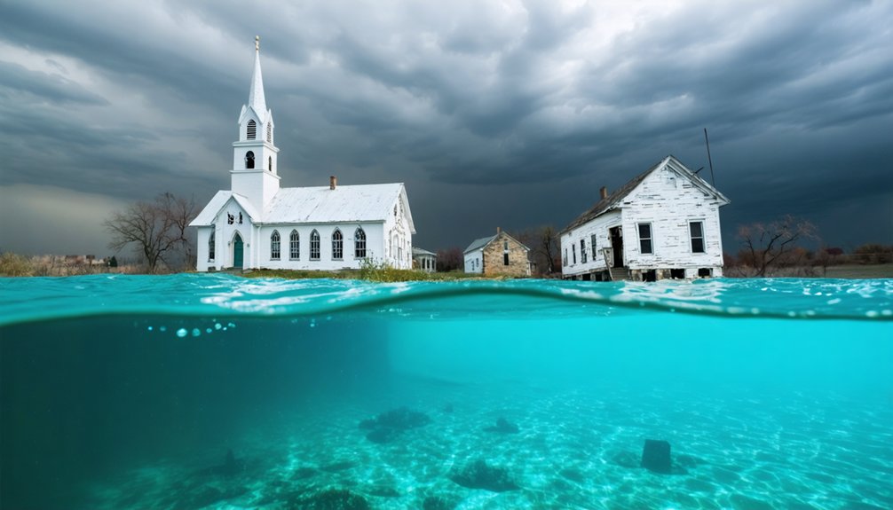
- Linn Creek, founded in 1841, now lies 40 feet underwater with a relocated cemetery and folklore about submerged church bells.
- Bonne Terre Mine contains a 457,000 sq ft flooded lake with preserved industrial artifacts accessible via 20+ dive trails.
- Ragtown, a White River settlement, was completely submerged in 1958 after residents relocated homes before dam completion.
- Oasis rests 100 feet beneath the lake with intact foundations from structures like mills and stores visible to divers.
The Creation of Table Rock Lake and Its Drowned Communities
Although World War II and the Korean War delayed its implementation, the Table Rock Dam project received congressional authorization under the Flood Control Act of 1941.
Table Rock Dam’s authorization came in 1941, though global conflicts postponed construction for over a decade.
The Little Rock District of the U.S. Army Corps of Engineers commenced construction in October 1954 on Missouri’s White River, completing the $65.42 million structure by August 1958.
Record rainfall filled the reservoir in mere days during 1959, submerging entire communities beneath 52,300 acres of water.
You’ll find that some struggling towns were abandoned before inundation, while others relocated structures to higher ground.
The archaeological significance of these submerged settlements remains documented only through historical records.
Environmental impacts included the permanent loss of 857 miles of original shoreline habitat and homesteads, creating 3,462,000 acre-feet of flood control storage where valleys once existed.
The dam’s construction involved hundreds of workers and millions of tons of concrete to transform the landscape and control the White River’s destructive flooding patterns.
The completed dam features a concrete gravity section measuring 1,602 feet long alongside a 4,821-foot earthen embankment extending from the main structure.
Oasis: A Village Frozen in Time Beneath the Waves
The hamlet of Oasis, originally designated Cedar Valley, occupied a narrow valley along Long Creek in Taney County’s Ozark terrain south of Branson, Missouri. You’ll find this submerged settlement resting 100 feet beneath Table Rock Lake’s surface, completely inundated during the 1958-1959 reservoir filling.
The community comprised fewer than 10 structures, including a three-story mill with dam and a general store that doubled as the voting precinct.
Engineers constructed a one-lane bridge at considerable expense, though it remained non-functional for a decade due to incomplete road connections.
Today, technical divers explore these ancient artifacts of Missouri’s agrarian past, documenting structures preserved in cold lake waters. Foundations and main street structures remain partially visible even after decades underwater. The name Oasis itself entered English from Greek, borrowed from the ancient Egyptian word wḥ3t, originally referring to fertile areas with water sources in desert regions.
The site exemplifies how federal dam projects permanently altered Ozark communities, transforming accessible settlements into underwater archaeological sites.
Ragtown: The Town That Vanished Without a Trace
Unlike Oasis, which retained structural remnants at depth, Ragtown operated as a functioning White River valley settlement until Table Rock Dam’s 1958 completion forced complete abandonment.
You’ll find no preserved buildings or documented dive sites at this location near modern Kimberling City—the town disappeared entirely beneath the reservoir’s surface.
Historical records and local folklore now constitute Ragtown’s sole legacy, as erosion eliminated physical evidence of the community that once served traders and workers in Missouri’s early 20th-century economy. The reservoir’s waters reach depths of up to 200 feet in areas where communities like these once stood. The White River flood control project ultimately created over 50,000 acres of water, submerging multiple settlements in the region.
Ragtown’s Active Community Era
During its peak years, Ragtown’s infrastructure included:
- Supply depots stocking essential goods for traders and fortune-seekers steering Ozark pathways.
- Lodging establishments serving travelers moving through the expanding regional economy.
- Social venues functioning as gathering spaces for residents and visitors.
- Commercial operations supporting the boom period’s sustained visitor influx. Similar to St. Thomas’s role as a transportation hub with railway access, Ragtown facilitated commerce through its strategic positioning along trade routes. Towns like Cedar Mills once thrived with grain and lumber mills that capitalized on natural resources before economic shifts altered their fortunes.
This bustling activity contrasted sharply with declining nearby settlements, cementing Ragtown’s role as a crucial economic node before submersion.
Complete Disappearance and Legacy
As Table Rock Dam construction neared completion in the late 1950s, Ragtown’s businesses closed systematically while rising waters claimed the valley floor.
You’ll find residents relocated homes to higher ground near Kimberling City, attempting partial historical preservation before total submersion occurred by 1959.
Unlike other settlements, some structures were physically moved rather than abandoned entirely, though most businesses failed to rebuild successfully.
Today, no visible markers remain above water.
Foundations and roads lie buried in the lakebed, eroded beyond recognition.
The name persists only in historical records and outdated maps, representing Missouri’s forgotten boomtown.
Cultural impact endures through Kimberling City’s integration of relocated elements and local lore.
Legends claim intact underwater settlements exist, though research confirms rapid deterioration.
You’re witnessing a broader pattern: 1950s dam projects systematically erasing independent communities.
Lake of the Ozarks and the Eight Towns Lost to Progress
The construction of Bagnell Dam by Union Electric Company transformed Missouri’s landscape when it flooded the Osage River Valley between 1931 and 1939, submerging eight complete communities beneath what became Lake of the Ozarks.
This hydroelectric project eliminated established settlements without adequate cultural preservation efforts, fundamentally altering regional geography.
The environmental impact displaced entire populations from:
- Old Linn Creek – 1841 county seat with courthouse now under 40 feet of water
- Irontown – Industrial company town where iron smelter remains visible above waterline
- Arnholdt’s Mill – Late nineteenth-century grist mill complex on Big Niangua River
- Nonsuch, Passover, and Zebra – Rural communities razed before inundation
Before the waters rose in early 1931, wooden structures burned while masonry buildings were systematically knocked down to clear the townsite.
The dam’s control of water resources fundamentally shifted regional power dynamics and economic development patterns in central Missouri.
You’ll find New Linn Creek rebuilt on higher ground, while original cemeteries remain questionably relocated beneath the reservoir’s surface.
Lynn Creek: From Steamboat Hub to Underwater Ruins
Founded in 1841 as Camden County’s governmental center, Linn Creek established itself as a strategic settlement along the Osage River before steamboat commerce transformed it into a regional economic hub during the 1850s.
You’ll find its remains beneath 40 feet of water in Linn Creek Cove, where Union Electric Company’s 1929 Bagnell Dam project necessitated systematic demolition. The company cleared everything below 660-foot sea level through purchase or condemnation.
Residents relocated their wooden structures in early 1931; authorities burned what remained and demolished stone buildings. This submerged architecture now represents Missouri’s most significant underwater archaeology site from the dam era.
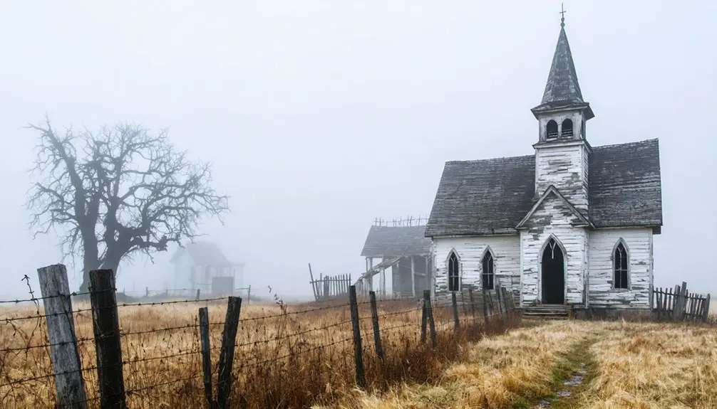
The original cemetery survives on higher ground, though folklore persists about hearing church bells from below—a testament to forced displacement when infrastructure development superseded community autonomy.
Bonterra Mine: A Century of Lead Production Now Submerged
The St. Joe Lead Company’s Bonne Terre mine operated from 1864 to 1962, producing lead ore from an underground system that extended miles beneath southeastern Missouri communities.
When pumps ceased operation in 1962, groundwater flooded the three lowest levels, creating a one-billion-gallon subterranean lake spanning one mile in length.
You’ll find this flooded mine now serves as a scuba attraction featuring underwater artifacts, while the site maintains its 1974 National Register of Historic Places designation.
Historic Mining Operations
Before 1860, A. LeGrave owned what would become St. Joseph Lead Co.’s property at Bonne Terre. When St. Joe acquired the mines in 1864, superintendent C.B. Parsons deployed diamond drilling—mining technology that revealed ore deposits 280 feet deep, transforming unprofitable surface operations into century-long industrial production.
The operation’s scale demanded transportation infrastructure:
- Mule teams hauled lead to Cadet until 1880
- Narrow gauge railroad connected Summit to I.M.R.R. in the 1880s
- Standard gauge line later linked Riverside to Doe Run
- Mississippi River & Bonne Terre Railroad shipped ore to Herculaneum smelters by 1890
Mining galena ore until 1962, Bonne Terre anchored Missouri’s Lead Belt, producing 70% of U.S. lead.
Its environmental impact emerged decades later when contaminated tailings infiltrated Big River and residential areas.
Underwater Dive Site
When mining operations ceased in 1962, groundwater flooded the abandoned Bonne Terre Mine workings, creating what would become the world’s largest subterranean lake—a 457,000-square-foot body of water spanning 10.5 acres beneath Missouri’s Lead Belt.
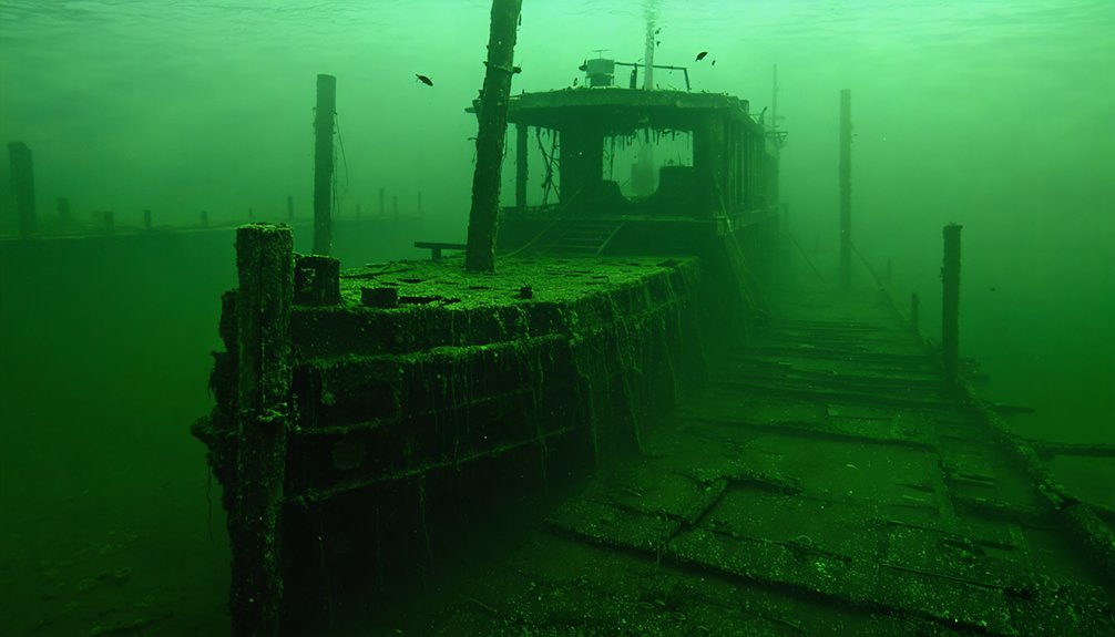
You’ll find crystal-clear mineral water maintaining a constant 58°F, offering 100+ feet visibility through depths ranging from 40 to 90 feet. The site functions as an active marine archaeology laboratory where you can document submerged industrial artifacts—ore carts, drills, massive piping, and the preserved No. 1 elevator.
Twenty sequential dive trails provide systematic underwater mapping opportunities through pillars, shafts, and archways.
Advanced routes like The City at 90 feet and pitch-black Transformer Tunnel demand precise buoyancy control through 550-foot passages, offering unrestricted exploration of America’s industrial heritage.
Moving Entire Communities: Relocation Efforts Before the Floods
As reservoir construction projects advanced across Missouri, communities faced systematic dismantling of their physical landscapes through carefully orchestrated demolition protocols.
You’ll find that community architecture underwent deliberate destruction rather than submersion—wooden structures burned, stone buildings razed, and hazards eliminated before waters rose.
Historical preservation took unexpected forms as residents salvaged what they could.
The relocation process followed distinct patterns:
- Demolition campaigns: Old Linn Creek residents systematically destroyed dozens of buildings in early 1931, burning wooden churches and residential structures while knocking down masonry constructions.
- Selective salvage: Communities relocated viable buildings, businesses, and schools to elevated ground despite logistical constraints.
- Infrastructure redesign: Railroads, highways, and utilities required complete repositioning around new water boundaries.
- Cemetery challenges: Burial ground relocations proved inconsistent—some survived on bluffs, others remain permanently submerged.
Exploring the Depths: Scuba Diving Missouri’s Sunken History
Beneath Bonne Terre, Missouri, the world’s largest subterranean freshwater lake occupies 10 acres of abandoned lead mine tunnels—a National Historic Site that transformed from industrial closure in 1962 into the premier freshwater dive destination in North America.
You’ll navigate 20-50 sequential trails through crystal-clear water with 100-foot visibility, illuminated by a 500,000-watt overhead system.
The archaeological significance becomes tangible as you explore 150-year-old mining artifacts: submerged carts, scaffolding, slurry pipes, and an elevator shaft preserved in mineral-rich conditions.
Unlike marine ecology, this billion-gallon freshwater environment maintains undisturbed historical elements within “The City”—a ghost-town atmosphere featuring abandoned buildings and 200-foot limestone pillars.
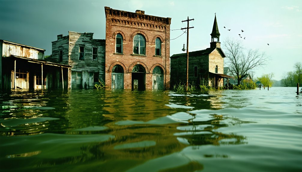
Exploring the submerged landscape reveals abandoned towns beneath Mississippi waters, slowly being reclaimed by nature. Divers often share tales of eerie encounters with remnants of a once-thriving community, where time stands still. Each dive not only uncovers a glimpse into the past but also highlights the delicate balance between history and the ever-changing environment.
With Open Water certification, you’ll access depths averaging 40-60 feet, experiencing technical-like conditions while professional guides ensure safe exploration of this unique subterranean frontier.
Frequently Asked Questions
Are There Any Other Underwater Ghost Towns in Missouri Besides These?
Beyond the documented sites, you’ll find additional submerged settlements throughout Missouri’s reservoir systems. Their historical preservation and archaeological significance remain largely unexplored, offering you opportunities to discover evidence-based documentation of these lesser-known flooded communities independently.
Can Recreational Divers Explore All the Submerged Towns or Just Some?
You can’t freely explore every submerged town—recreational diving restrictions limit access severely. Only Table Rock Lake’s Oasis offers confirmed submerged town accessibility. Most sites were razed pre-flooding, denying you the underwater exploration freedom you’d expect.
What Happened to Residents Who Refused to Leave Their Homes?
You won’t find evacuation stories or personal accounts of holdouts—no records document residents refusing to leave. Everyone relocated before flooding, though their individual reasons and experiences weren’t systematically preserved for posterity.
Have Any Artifacts Been Recovered From the Underwater Ghost Towns?
Divers’ve documented numerous historical artifacts submerged in Table Rock Lake, though most remain buried under sediment. You’ll find ancient relics like farming tools and furniture fragments preserved in nearby museums, while concrete foundations still persist on the lakebed below.
Do Water Levels Ever Drop Low Enough to Walk Through the Towns?
No, you can’t walk through Missouri’s submerged towns. Seasonal water fluctuations only drop levels several feet, not the 40-100+ feet needed. Decades of sediment accumulation have buried most structures, making surface exposure virtually impossible even during droughts.
References
- https://thesojournerscompass.com/vanished-under-table-rock-the-towns-that-time-erased/
- https://cedarbayoumarina.com/four-ghost-towns-under-lake-texoma/
- https://www.youtube.com/watch?v=rE1Wnvh_fIY
- https://simple.wikipedia.org/wiki/Oasis
- https://encyclopediaofarkansas.net/entries/table-rock-dam-and-lake-6610/
- https://en.wikipedia.org/wiki/Table_Rock_Lake
- https://www.thousandhills.com/branson-attractions/branson-trilakes-area/branson-lakes-history/
- https://www.westgateresorts.com/blog/fun-facts-table-rock-lake/
- https://www.swl.usace.army.mil/Missions/Recreation/Lakes/Table-Rock-Lake/Dam-and-Lake-Information/
- https://kids.kiddle.co/Oasis