Maine’s ghost town count ranges from five to ten fully abandoned settlements, depending on your definition, though you’ll find approximately 90 communities with fewer than 300 residents that preserve echoes of busier times. Somerset County holds the most documented ghost towns with three confirmed sites, while places like Flagstaff—deliberately flooded in 1950 for hydroelectric development—represent Maine’s most dramatic community erasures. These abandoned settlements span coastal villages, logging camps, mining towns, and farming communities, each telling distinct stories about the environmental and economic forces that shaped Maine’s historical landscape.
Key Takeaways
- Maine has between five to ten fully abandoned settlements classified as ghost towns, with the count varying by source.
- Somerset County contains the highest concentration with three documented ghost towns within its boundaries.
- Maine’s 2010 Census recorded 90 towns with fewer than 300 residents, indicating significant rural depopulation.
- Flagstaff is Maine’s most notable ghost town, deliberately flooded in 1950 to create the state’s largest man-made lake.
- Common abandonment causes include economic downturns, industrial collapse, Civil War depopulation, and hydroelectric dam projects.
Counting Maine’s Abandoned Settlements
Maine’s 2010 U.S. Census documented 615 town areas, with 90 containing fewer than 300 residents. You’ll find the state’s ghost town count varies by source—typically ranging from five to ten fully abandoned settlements.
Somerset County claims three of these documented sites, while scattered locations span from York to Hancock counties. The challenge lies in distinguishing true ghost towns from Maine’s 429 unorganized territories, where roughly 9,000 permanent residents still maintain presence.
Five territories officially register zero population. These archaeological sites reveal patterns of economic decline: failed early settlements, Civil War-era depopulation, and industrial collapse. Land leasing to workers created precarious settlements where owners could reclaim land suddenly, forcing rapid abandonment.
Preservation efforts face unique obstacles when communities vanish beneath reservoirs like Flagstaff Lake or become absorbed into urban expansion, erasing tangible evidence of Maine’s settlement history. Notable among Maine’s ghost towns is Perkins Township on Swan Island, which supported fishing and ice industries throughout the 1700s before abandonment in the 1930s.
Somerset County: The Ghost Town Capital
You’ll find Somerset County holds the distinction of harboring three ghost towns—more than any other county in Maine’s documented inventories.
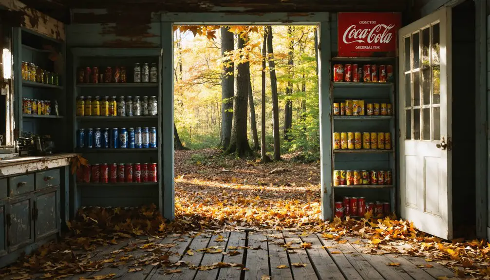
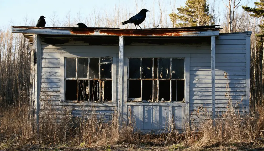
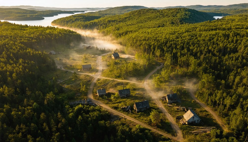
These ghost towns in coastal Maine each tell a unique story of the past, attracting explorers and history enthusiasts alike. As you wander through the remnants of these abandoned communities, you’ll encounter crumbling structures and overgrown landscapes that evoke a sense of nostalgia. The eerie beauty of the coastline adds to the allure, making these towns a fascinating subject for both photographers and historians.
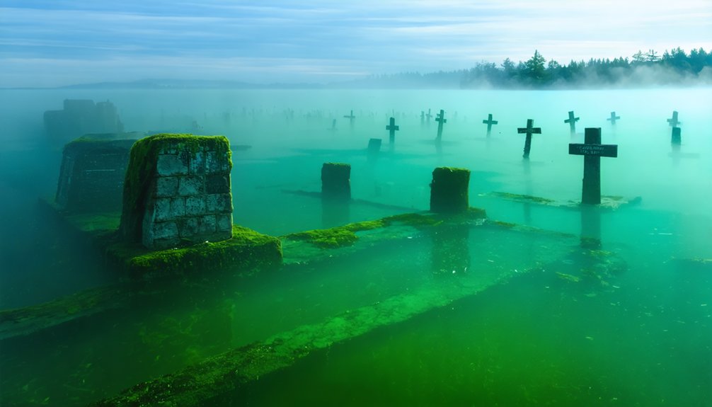
The most significant loss remains Flagstaff, a complete Dead River Valley plantation deliberately flooded in 1950 to create a reservoir for hydroelectric power. This wasn’t gradual abandonment through economic decline; authorities ordered an entire community erased, forcing residents to relocate while their homes were either moved or burned before the waters rose. During periods of low water levels, underwater remnants of the submerged town become visible beneath Flagstaff Lake.
These abandoned settlements often developed near old mining or logging areas that once supported thriving economic activity before being deserted.
Three Ghost Towns Total
When historians tally Maine’s ghost towns, Somerset County emerges as the undisputed leader with three documented sites—the highest concentration in the state. You’ll find Flagstaff as the primary example, deliberately flooded in 1950 for Flagstaff Lake’s hydroelectric project.
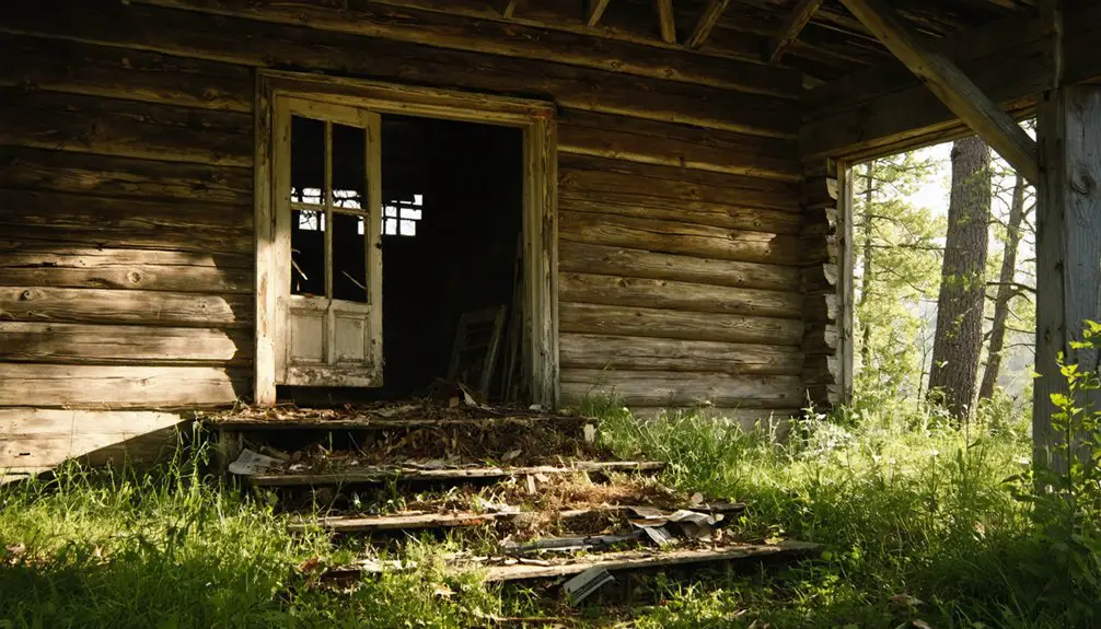
The county’s lumber and milling heritage created settlements that couldn’t survive economic shifts, leaving behind structures that fuel urban legends among explorers seeking untold stories. Madrid flourished with schools, railways, churches, a newspaper, and hotels before disincorporating in 2000, its remaining structures now open to wanderers.
Preservation efforts face unique challenges here since Flagstaff lies beneath water, making traditional conservation impossible. The submerged town’s old site sometimes visible during extremely dry periods when water levels drop significantly. Yet Somerset’s ghost town capital designation reflects Maine’s broader pattern—sources document between five and nine abandoned communities statewide, with Somerset claiming three of those sites.
This concentration reveals how quickly 19th-century prosperity vanished when industries collapsed, leaving you with empty townscapes that preserve authentic glimpses of frontier independence.
Flagstaff’s Intentional Flooding History
Among Somerset County’s abandoned settlements, Flagstaff stands apart—not as a community that withered from economic decline, but as a village deliberately erased by human decision.
Central Maine Power initiated land purchases in 1930, planning a dam at Long Falls to generate hydroelectric power. Despite resident protests, eminent domain seized the townships in the 1940s.
You’ll find minimal historical preservation here—crews burned homes and cleared the flowage area in 1948-1949.
Residents held their final gathering on July 4, 1949, before evacuation. The celebration united Flagstaff and Dead River villages with parades, music, food, and fireworks marking their last communal event.
When Long Falls Dam’s gates closed in 1950, floodwaters submerged both Flagstaff and Dead River.
The environmental impact created Maine’s largest man-made lake, spanning 27 miles.
Today, when water levels drop 24+ feet seasonally, submerged foundations and rusting equipment emerge—physical remnants of governmental overreach.
Dead River Plantation Loss
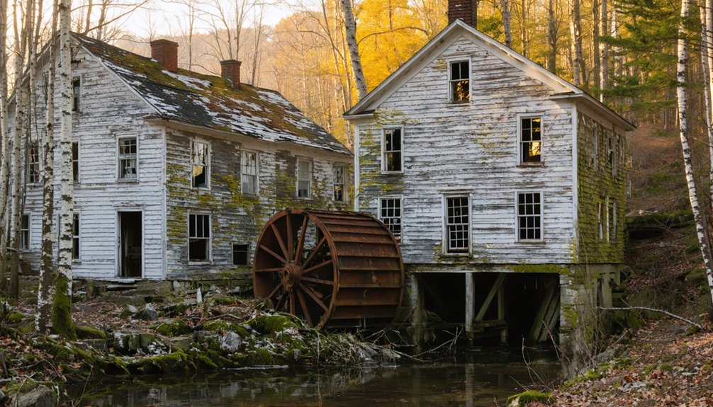
Dead River Plantation shared Flagstaff’s fate beneath the rising waters of Long Falls Dam, though its story begins decades earlier when Miles Standish—descendant of the famous Pilgrim—harnessed Mill Stream’s power for grist and sawmills in the 1840s.
The plantation’s rich floodplain soil and timber resources built a thriving logging community that flourished into the 1940s.
When Central Maine Power targeted this area for hydroelectric development, you’ll find no meaningful historical preservation efforts were made.
The environmental impact was irreversible—entire communities erased for electricity generation.
By 1950, both settlements had vanished underwater.
Some residents who refused compensation offers left their homes standing, which now rest intact beneath the lake’s surface.
Before the flooding, 300 residents held a farewell event in July 1949 to honor their community one last time.
Today, the Dead River Area Historical Society fights to keep these submerged communities’ memories alive, while foundation stones occasionally emerge during low water periods, haunting reminders of what progress cost.
Why Communities Disappeared Across Maine
Resource exhaustion sealed many communities’ fates after initial land-clearing booms couldn’t sustain long-term prosperity. Franklin County towns lost thousands of acres of cleared sheep pastures that proved economically unviable.
Over 400 unorganized townships now house fewer than 9,000 permanent residents across Maine’s backcountry. You’ll find these abandoned settlements reflect your ancestors’ struggles against an unforgiving economic reality that valued industrial progress over rural self-sufficiency.
Flagstaff and the Flooded Towns
How could an entire village simply vanish beneath the waters of progress? You’ll find one of Maine’s most haunting ghost town legends at Flagstaff Lake in Somerset County. Named after Benedict Arnold’s 1775 Quebec expedition, this thriving community disappeared when Central Maine Power completed Long Falls Dam in 1950.
A thriving Maine community vanished forever when the Long Falls Dam flooded Flagstaff Lake in 1950, erasing generations of history.
The flooding erased centuries of history:
- Mills powered by Flagstaff Pond since the early 1800s
- Dead River Plantation settlements and farmsteads
- The village center 20 miles north of Rangeley
Central Maine Power began purchasing properties in 1930, forcing residents from land they’d cultivated for generations.
Notable Abandoned Sites Worth Exploring
While Flagstaff’s story represents Maine’s most dramatic disappearance, dozens of smaller settlements across the state tell quieter tales of abandonment.
You’ll find Riceville’s mill foundations hidden in Hancock County woods, where buffalo leather operations once thrived.
Freeman’s stone remnants and cemeteries mark Franklin County’s farming decline, while Askwith in Piscataquis County has transformed into its own cemetery-like historic landmark.
Madrid’s 19th-century mining operations left accessible tunnels and building foundations in Oxford County—underground tunnels that reveal the industry’s collapse.
Ligonia Village, now beneath South Portland’s Calvary Cemetery and industrial sites, represents Cumberland County’s lost waterfront heritage.
These sites offer you tangible connections to Maine’s industrial and agricultural past, preserving stories that official records often overlook.
Each location provides freedom to explore authentic historical landscapes.
Geographic Spread of Deserted Maine Communities
- Coastal absorption – Cumberland’s Ligonia Village vanished under Calvary Cemetery and industrial development.
- Hydraulic submersion – 1950s dam projects flooded entire Bigelow and Dead River Plantations.
- Remote integration – Piscataquis County’s Askwith traces blend into cemetery landscapes.
Each county’s abandoned sites reveal different forces driving communities toward extinction.
Frequently Asked Questions
Can You Legally Visit Ghost Towns in Maine?
Yes, you can legally visit Maine’s ghost towns with proper access permissions. Historical preservation sites like Swan Island require reservations, while others like Tarratine remain openly accessible. You’ll find most locations welcome exploration through established public routes and trails.
Are There Any Preserved Buildings in Maine’s Ghost Towns?
You’ll find preserved buildings mainly at Perkins Township on Swan Island, where historic preservation efforts maintain early settlement structures. Freeman and Flagstaff offer abandoned structures like foundations and ruins, though most buildings have succumbed to time and flooding.
What Happens to Property Ownership in Abandoned Maine Towns?
Property ownership typically transfers through outright sales to companies or reverts to state control after abandonment. You’ll find historic land rights weren’t protected, as property transfer regulations allowed utility companies and corporations to acquire then abandon entire communities without resident safeguards.
Do People Still Live Near Maine’s Ghost Town Sites?
Yes, you’ll find living communities surrounding most ghost town sites—Fort William Henry thrives in Bristol, while Skowhegan maintains residents despite its “ghost” label. Haunted legends and abandoned structures coexist with modern neighborhoods, preserving Maine’s layered heritage for curious explorers.
Which Maine Ghost Town Disappeared Most Recently?
Freeman disappeared most recently in 1973, offering you rich historical artifacts in its cemetery. You’ll find tourism opportunities exploring this Franklin County site, where preserved remnants let you independently discover Maine’s vanished communities without restrictions.
References
- https://en.wikipedia.org/wiki/List_of_ghost_towns_in_Maine
- https://www.hotels.com/go/usa/ghost-towns-maine
- http://strangemaine.blogspot.com/2012/02/ghost-towns-of-maine.html
- https://greyhavens.com/haunted-places-in-maine/
- https://b985.fm/6-maine-ghost-towns-you-never-knew-existed/
- https://kids.kiddle.co/List_of_ghost_towns_in_Maine
- https://www.geotab.com/ghost-towns/
- http://freepages.rootsweb.com/~gtusa/history/usa/me.htm
- https://www.youtube.com/watch?v=t2SkSwrAQCw
- https://www.loveexploring.com/gallerylist/188219/the-us-state-with-the-most-ghost-towns-revealed