You’ll find Las Palomas ghost town 7 miles south of Truth or Consequences, where the Garcia and Tafoya families established an essential Rio Grande settlement in the 1850s. The town thrived as a transportation hub with profitable toll roads until the 1930s, when Caballo Dam’s construction forced residents to relocate. Today, San Isidro Catholic Church, period homes, and the historic cemetery stand as silent witnesses to this once-bustling frontier community’s rich heritage and dramatic transformation.
Key Takeaways
- Las Palomas was established in the 1850s by Garcia and Tafoya families before becoming a ghost town due to Caballo Dam construction.
- The 1930s Caballo Dam project forced residents to relocate, transforming the original settlement into an abandoned site.
- Historic structures including San Isidro Catholic Church and period homes remain as architectural remnants of the former community.
- The town served as a vital transportation hub with toll roads until railroad development in the 1880s diminished its economic importance.
- Descendants of original settlers maintain connections to Las Palomas’s heritage through preserved cultural traditions and religious ceremonies.
The Birth of a Rio Grande Settlement (1850s-1880s)
While many settlements along the Rio Grande emerged organically, Las Palomas began with a deliberate establishment by the Garcia and Tafoya families in the 1850s.
These founding families brought with them numerous peons who initially worked as indentured laborers until laws mandated their release, creating one of the most significant settlements in the region.
You’ll find the town’s origins reflected in its poetic name, “The Doves,” inspired by the abundant dove populations in nearby cottonwood groves.
The settlement challenges faced by these pioneer families didn’t deter their progress – by the 1880s, Las Palomas had grown into a crucial supply point.
Despite early hardships, Las Palomas’ determined settlers transformed their fledgling community into a vital regional hub by the 1880s.
The mild winters and warm summers of Sierra County proved ideal for this frontier community, which established itself roughly 7 miles south of what’s now Truth or Consequences.
Near the settlement, visitors can explore fascinating Indian pueblo ruins that date back to around 500 A.D.
The community constructed a central plaza that served as protection for livestock during raids and hosted gatherings for various communal activities.
Religious and Cultural Heritage Along the River
The spiritual heart of Las Palomas beats through San Isidro Catholic Church, a tribute to the deep Roman Catholic roots that shaped this Rio Grande settlement.
You’ll find evidence of cultural festivals and religious rituals that blended Spanish colonial traditions with indigenous practices dating back to 500 A.D., creating a unique heritage along the river’s edge.
Near San Isidro Church, the cemetery tells stories of early settlers while preserving the town’s history. The town’s agricultural heritage flourished through fertile farming land that sustained generations of families.
The Rio Grande served as more than just water – it was a spiritual lifeline where ceremonies marked seasonal changes and agricultural cycles.
In the plaza and churchyards, you’ll discover how Hispanic and Native American influences merged in religious iconography, music, and community celebrations, reflecting centuries of cultural exchange in this historic riverside settlement.
The Our Lady of Las Palomas organization continues to promote interfaith community service and contemplative action in the region today.
Transportation Hub and Regional Commerce
Las Palomas’s strategic position at the gap in the Caballo Mountains made it a natural hub for east-west traffic, enabling the development of profitable toll roads that connected regional trade routes.
Much like the Santa Fe Trail that revolutionized commerce after 1846, these pathways were vital arteries for moving goods and people across the territory.
Today, visitors can explore The Pink Store and other merchants that continue this legacy of cross-border commerce.
You’ll find evidence of this commerce in the historic road segments and reinforced concrete bridges from the 1930s that facilitated year-round transportation through the area’s challenging terrain.
The town’s location near Parajito Creek Valley at 4,300 feet elevation created an ideal corridor for both overland transport and the movement of goods along river networks, establishing Las Palomas as a crucial link in New Mexico’s early transportation infrastructure.
Toll Road Economic Impact
During the late 1800s, toll roads near Las Palomas served as essential economic arteries, generating substantial revenue through a structured fee system that charged based on vehicle type and cargo.
You’d have paid 35 cents for a buggy, 40 cents for a two-horse team, or 75 cents for a four-horse wagon to traverse these significant routes.
These toll fees funded important infrastructure investment, enabling proprietors like Baz Metcalf to develop and maintain roads while building supporting businesses.
The roads required extensive engineering, including bridge construction and hillside cutting, which facilitated heavier traffic and boosted regional trade.
This economic impact positioned Las Palomas as a key transportation hub, though the prosperity wouldn’t last – by the late 1880s, the arrival of railroads began rendering toll roads obsolete. The Santa Fe Trail routes were particularly vital for moving military supplies and commercial goods until 1885.
Strategic Trading Route Location
Situated at an essential nexus between southern New Mexico and northern Mexico, Las Palomas flourished as an important transportation hub due to its strategic position along historic trade corridors.
You’ll find this location’s significance deeply rooted in its proximity to El Camino Real de Tierra Adentro, a crucial route that connected Mexico City to Santa Fe for nearly three centuries.
The town’s border commerce thrived as it capitalized on established transportation networks linking major highways on both sides of the border.
These trade dynamics were further enhanced when Mexico’s independence in 1821 opened northern markets to U.S. traders.
Las Palomas’ role as a checkpoint between nations helped establish lasting commercial relationships, while modern infrastructure improvements, including paved roads and bridges, have continued to support cross-border economic activity.
The area’s strategic importance was reinforced by the presence of U.S. Army forts established in 1848 to protect travelers along major trade routes.
Today, the nearby Columbus-Puerto Palomas crossing serves as one of three official Ports of Entry between New Mexico and Mexico.
River Transportation Networks
Although riverine transport along the Rio Grande proved limited for large-scale navigation, the Las Palomas area established crucial crossing points through an intricate network of ferries that facilitated the movement of people, livestock, and freight wagons.
When water levels were low, you’d find travelers wading across or using log canoes, but ferry services revolutionized river crossings, integrating with stagecoach routes for seamless transportation. With fares around $200 per passenger, stagecoach services from Kansas City to Santa Fe provided vital connections to the ferry crossings.
While the Rio Grande’s depth of 60 feet restricted commercial steamboat traffic beyond the Texas border, these local ferry operations became essential links in the territory’s trade network.
Early attempts to extend river navigation to El Paso never materialized, but the ferry system at Las Palomas kept commerce flowing, connecting New Mexico’s critical agricultural regions to expanding markets before bridges and railroads transformed the landscape.
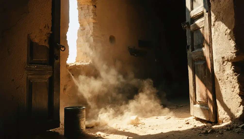
The Impact of Caballo Dam on Town Life
The construction of Caballo Dam in the 1930s forced many Las Palomas residents to relocate as federal land acquisition claimed significant portions of the town’s agricultural holdings.
You’ll find that the dam’s development disrupted traditional farming practices along the Rio Grande floodplain, where families had cultivated crops for generations using seasonal flood patterns.
The federal government’s purchase of land for the reservoir and associated irrigation infrastructure permanently altered the town’s physical and social landscape, contributing to its eventual decline into a ghost town.
Community Displacement and Relocation
When construction of Caballo Dam began in the late 1930s, it set in motion a dramatic transformation of Las Palomas that would permanently alter the community’s physical and social fabric.
You’ll find that most residents were forced to relocate about a mile west of their original homes, while others moved north to Hot Springs or settled upstream along Palomas Creek. This dispersal severely weakened community cohesion as traditional social networks were torn apart.
The economic transformation was equally profound, as farmland disappeared beneath reservoir waters and long-established trade routes lost their significance.
While some families stayed to preserve their heritage, maintaining the relocated San Isidro Church and historical artifacts, the displacement scattered a once-tight-knit community across the region, forever changing its character and way of life.
Federal Land Acquisition Impact
Following construction of Caballo Dam, environmental changes drastically transformed Las Palomas’s natural landscape and living conditions.
Federal land acquisition effects rippled through the region as the dam’s presence altered the Rio Grande’s natural flow and created Caballo Reservoir, extending upstream to your former community.
You’ll find the area’s hydrology permanently changed, with seasonal water fluctuations creating new littoral zones that increased mercury contamination near Las Palomas.
The government’s aggressive clearing of floodplain vegetation, both mechanically and chemically, further disrupted the natural ecosystem.
They’ve installed 130 miles of levees and modified channels, controlling water flow between 110 and 500 feet wide.
These federal interventions haven’t just changed the land – they’ve fundamentally altered the environmental chemistry and natural rhythms that once defined Las Palomas.
Architectural Remnants and Historical Sites
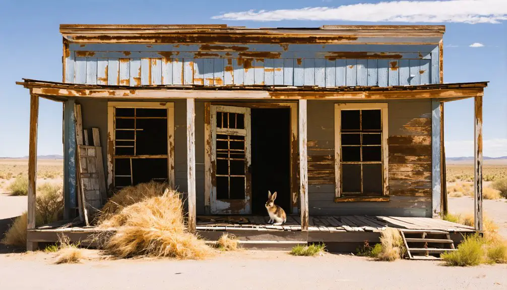
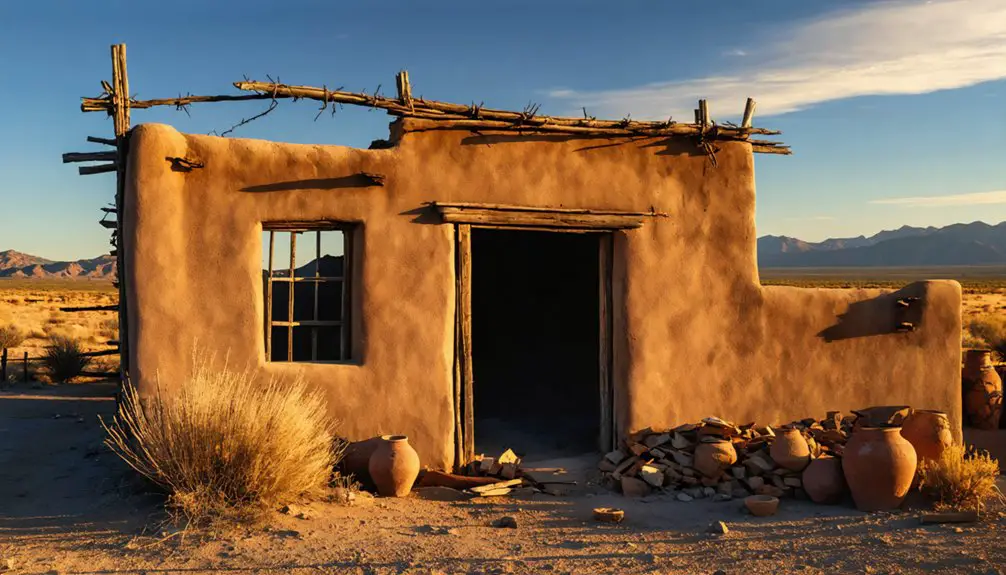
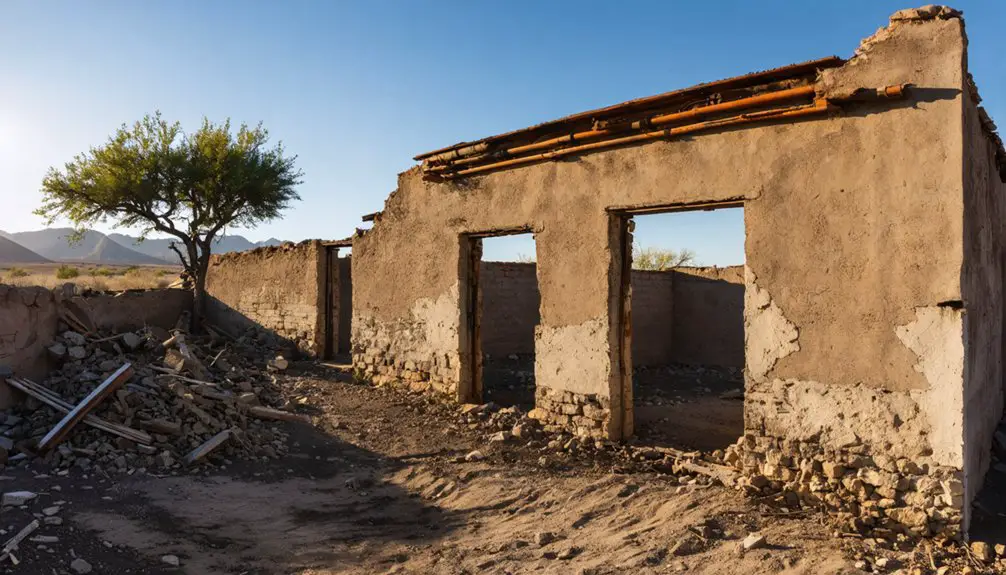
While many ghost towns fade into obscurity, Las Palomas retains significant architectural treasures that chronicle its vibrant past.
You’ll find the San Isidro Catholic Church still actively serving the community, its architectural styles reflecting traditional New Mexican religious design. Original homes from the late 19th and early 20th centuries showcase period construction methods using adobe and local stone, while the historic schoolhouse stands as a testament to the town’s educational heritage.
Of particular historical significance is the old cemetery with its stone markers, offering insights into generations of families who shaped Las Palomas.
The nearby Indian pueblo ruins, dating to 500 A.D., add remarkable depth to the area’s story, featuring foundational structures that connect ancient Puebloan culture to later Hispanic settlements.
Legacy of the Dove Town in Sierra County
The legacy of Las Palomas, aptly named “The Town of Doves,” echoes through Sierra County’s history as a reflection of New Mexican colonization and resilience.
You’ll find its influence in the agricultural traditions that persist through descendants of original settlers who still farm the fertile Rio Grande floodplain, carrying forward centuries-old cultivation practices.
The town’s community resilience shines through its adaptability, from surviving Apache raids to relocating after the Caballo Dam’s construction in 1938.
While the original settlement has largely faded, San Isidro Catholic Church remains active, serving as a symbol of the enduring spiritual foundation of this historic community.
The town’s strategic location near Palomas Gap shaped regional commerce and transportation, leaving an indelible mark on Sierra County’s development.
Frequently Asked Questions
Are Any of the Original Tafoya or Garcia Descendants Still Living Nearby?
You’ll find the Tafoya lineage and Garcia heritage still thriving in nearby towns like Silver City and Las Cruces, though they’ve moved from Las Palomas over generations of family dispersal.
What Wildlife Besides Doves Can Still Be Found in the Area?
You’ll discover abundant desert wildlife, from roadrunners and coyotes to hawks and quail. Over 300 bird species thrive here, including waterfowl near Caballo Reservoir and songbirds in the cottonwood bosques.
How Deep Underwater Are Parts of the Original Settlement Today?
Like a submerged parking garage, you’ll find the original settlement rests 40-50 feet underwater at full pool, though exact depth varies seasonally with Caballo Lake’s water level fluctuations.
Is Paranormal Activity Reported at the Abandoned Buildings or Cemetery?
You won’t find documented ghost sightings at these specific abandoned buildings or cemetery, though nearby haunted locations in New Mexico’s ghost towns commonly report shadowy figures, unexplained sounds, and mysterious lights.
Can Visitors Legally Collect Artifacts From the Ghost Town Site?
You can’t legally collect artifacts from historic sites due to strict preservation laws and federal regulations. Instead, document your discoveries through photos while helping protect these irreplaceable pieces of heritage.
References
- https://en.wikipedia.org/wiki/San_Ygnacio_de_la_Alamosa
- https://www.youtube.com/watch?v=DRflnFuiArw
- https://www.ghosttowns.com/states/nm/laspalomas.html
- https://www.lapalomahotspringsandspa.com/history-and-other-info.html
- https://www.instagram.com/cityofdustnm/p/DHz1gp-ufFM/
- https://en.wikipedia.org/wiki/Alamocita
- https://sites.rootsweb.com/~nmscgs2/Palomas.html
- https://southwest.audubon.org/news/notes-rio-0
- https://www.hcn.org/articles/south-water-the-history-behind-the-new-mexico-texas-rio-grande-settlement/
- https://thomas.church/us-location/st-thomas-church-in-las-palomas-new-mexico/