You’ll find Monark Springs, a former railroad town in Newton County, Missouri, established in the early 1900s by Truman Elmore and the Missouri and North Arkansas Railroad. The settlement thrived around its natural spring and railway depot until a devastating 1956 typhoid outbreak during a Church of God camp meeting. While the town declined due to reduced rail travel and urban migration, its scattered remnants and historical markers tell compelling stories of religious gatherings, transportation networks, and rural life.
Key Takeaways
- Monark Springs was established in the early 1900s as a railroad town by the Missouri and North Arkansas Railroad (M&NA).
- The town centered around a natural spring that provided water for residents, agriculture, and industry.
- A devastating typhoid outbreak in 1956 during a church camp meeting contributed to the town’s decline.
- The community’s abandonment was hastened by reduced railroad dependence and urban migration in the mid-20th century.
- Today, only scattered remnants and historical markers remain of the once-thriving Newton County settlement.
The Birth of a Railroad Town
While many railroad towns emerged organically along existing rail lines, Monark Springs came into existence through deliberate planning by the Missouri and North Arkansas Railroad (M&NA) in the early 1900s.
You’ll find its origins tied to the railroad’s strategic expansion, which aimed to establish passenger service hubs and boost regional development.
The town’s creation reflected a partnership between individual initiative and corporate planning. Truman Elmore founded the settlement, while the MONARK Townsite Company, the railroad’s development arm, platted and sold the lots. The company’s influence extended to donating land for a City Park near the depot.
Located five miles east of Neosho, Missouri, the town’s very name – derived from “MoNArk” – showcased its railroad identity. The railway extended to Neosho via trackage rights through agreements with other rail companies.
The railroad expansion brought economic opportunities as the depot became the community’s anchor, connecting local farmers and businesses to broader markets.
Life Around the Natural Spring
The natural spring southeast of Monark Springs served as the town’s lifeblood, providing essential water for drinking, cooking, and cleaning to residents and railroad workers alike.
You’d find townspeople gathering daily at this crucial water source, located roughly 500 feet from the main settlement in the Hickory Creek floodplain, where they’d exchange news and maintain social connections.
The spring’s reliability shaped the community’s daily routines, as families would coordinate their water collection times, creating an informal social network that strengthened neighborhood bonds. Tragically, this water source became the center of a devastating typhoid fever outbreak in 1956 during a church gathering.
Spring’s Daily Uses
Natural springs played an essential role in sustaining daily life at Monark Springs, serving as the community’s lifeblood for agricultural, domestic, and industrial purposes.
You’d find farmers relying on spring irrigation to maintain crop moisture, while their livestock gathered at the spring for watering throughout the day. The spring’s pure, cold water proved invaluable for household tasks – from drinking and cooking to washing clothes and preserving food in the cool stream.
Beyond domestic uses, you’d see the spring powering local mills and supporting craftsmen who needed clean water for their trades. The spring’s ecosystem provided fish for your table and supported the growth of useful plants like abundant watercress growth. The slightly acidic rainwater filtered through the dolomitic rock mass created the perfect conditions for the spring’s formation.
You could join your neighbors at the spring for social gatherings, where the cool water offered relief during hot summer days.
Community Water Gathering Place
Situated approximately 500 feet southeast of Monark Springs’ main settlement, the spring emerged as a vibrant social nucleus where you’d find residents and travelers converging throughout the day.
Positioned near the Missouri and North Arkansas Railroad, this natural water source drew people from multiple states, especially during large religious camp meetings and community gatherings.
You’d witness a constant flow of activity as people shared stories, traded goods, and refreshed themselves with the spring’s water.
While the spring water quality initially seemed reliable, concerns about community health surfaced dramatically during the 1956 typhoid outbreak.
This crisis, traced to contamination by an unknowing carrier, revealed the vulnerabilities of depending on natural water sources for large gatherings without proper sanitation measures.
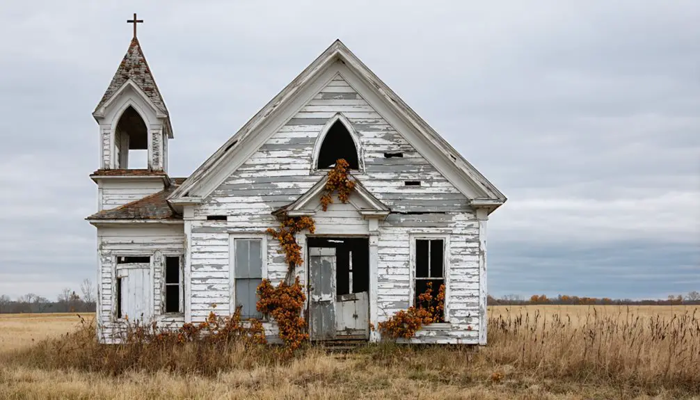
The Devastating Typhoid Outbreak of 1956
During a Church of God camp meeting in August 1956, Monark Springs became the epicenter of a devastating typhoid fever outbreak that affected at least 16 people across Missouri and Kansas.
The CDC quickly launched an investigation, discovering that an unknowing typhoid carrier had contaminated the camp’s central water well through fecal transmission. The outbreak was extensively documented using digital archives to preserve historical records.
The outbreak’s impact extended far beyond the initial site, as over 400 attendees from various states, including California and Kentucky, had gathered for the religious meeting. Health officials searched for 500 exposed individuals from several states, including Oregon residents from Jefferson, Madras, and Nyssa.
Key findings from the public health investigation revealed:
- The well served as the primary drinking source for all campers
- Contamination spread rapidly through the communal water supply
- CDC officials confirmed waterborne transmission as the cause
- The incident led to enhanced camp water safety protocols
Transportation Hub and Regional Connections
You’ll find that Monark Springs’ importance as a transportation nexus centered on its Missouri & North Arkansas Railroad depot, which served both regional travelers and religious gatherings of “the saints.”
The rail line connected the town to broader networks and supported local mining operations through ore shipments, while complementary road infrastructure linked Monark Springs to nearby clear water Neosho and other regional hubs. The town was also historically significant as the home of Hermann Jaeger, the renowned grape expert who helped save French vineyards from disease.
The community’s strategic location in the four-state area made it a natural convergence point for rail and road transportation, though these networks would later face challenges during economic downturns and the Great Depression.
Railroad Role Evolution
As the Missouri and North Arkansas Railroad (M&NA) expanded from its Eureka Springs Railway origins in 1883, Monark Springs emerged as an essential transportation hub linking the St. Louis-San Francisco Railway at Seligman.
The railroad’s impact transformed this Ozark community into a crucial junction for both commerce and social connections. The line was part of a historic route that stretched from Helena to Joplin, establishing vital transportation corridors across multiple states.
You’ll find the transportation evolution reflected in these key developments:
- Fast mail and package delivery via Railway Post Office connected you to the wider world
- Passenger trains brought health seekers to mineral springs and congregations to religious gatherings
- Freight service moved thousands of timber and mining product carloads through the region
- Track extensions to Joplin via Kansas City Southern Railway created broader market access
The M&NA’s strategic expansion, though never reaching Little Rock as planned, positioned Monark Springs within a complex network that sustained local economies and communities across the Ozarks.
Historic Highway Patterns
The historic road networks around Monark Springs tell a rich story of evolving transportation patterns in the Ozarks.
You’ll find the area’s historic roadways were shaped by the Old Wire Road, formerly known as the Osage Trail, which played a significant role in regional connectivity. During the Civil War, telegraph lines installed along this route transformed it into an essential military and communication artery.
As transportation evolved, Monark Springs emerged as a notable hub where rail and road networks intersected.
You’ll discover how the town’s location along these historic routes enabled it to serve as a gathering point for religious meetings and community events. The transportation infrastructure, including the Monark Springs depot, supported daily passenger service and facilitated the development of local facilities like the tabernacle and dining hall.
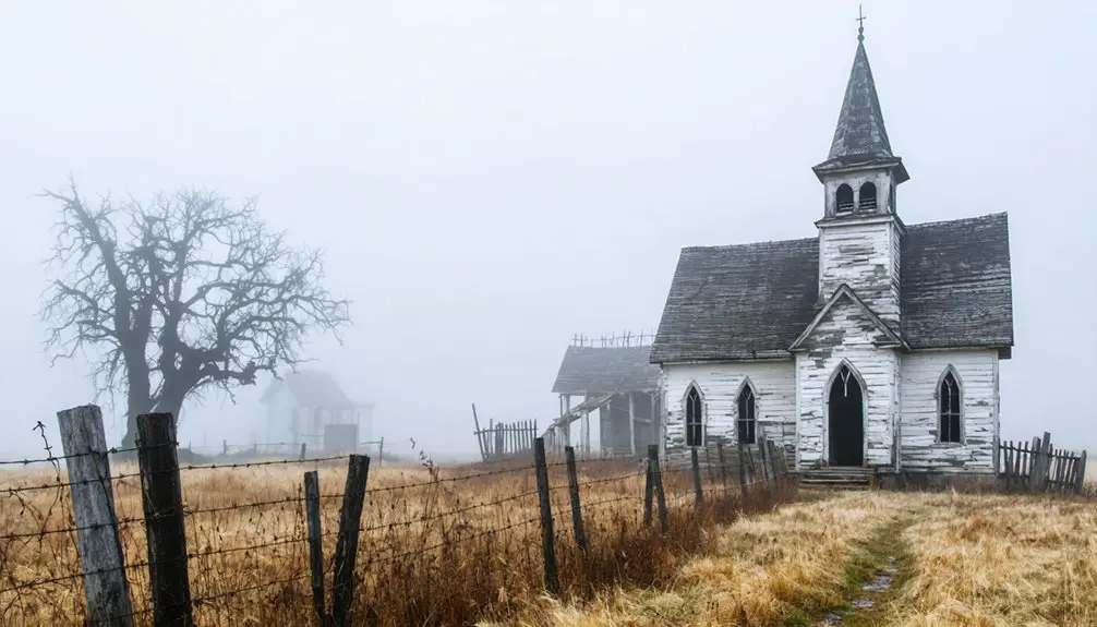
From Bustling Community to Abandoned Settlement
Once a thriving railroad community founded by Truman Elmore, Monark Springs transformed from a bustling settlement into a desolate ghost town through a series of devastating events.
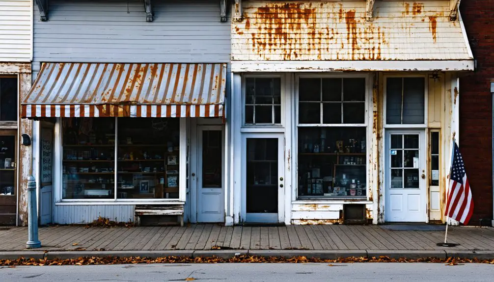
The history of Saint Annie, Missouri, reveals how the town once flourished with vibrant communities and local businesses. However, as industries moved away and opportunities dwindled, the decline mirrored that of Monark Springs. Today, remnants of its past stand as a testament to the resilience of those who called it home.
In its heyday, you’d have found vibrant community interactions centered around the railroad and natural spring, with cultural gatherings drawing hundreds for church camp meetings.
However, the town’s decline accelerated due to several critical factors:
- A devastating typhoid outbreak in 1956 that shattered community confidence
- Diminishing reliance on railroad transportation
- Migration of residents to more prosperous urban areas
- Inability to modernize aging infrastructure
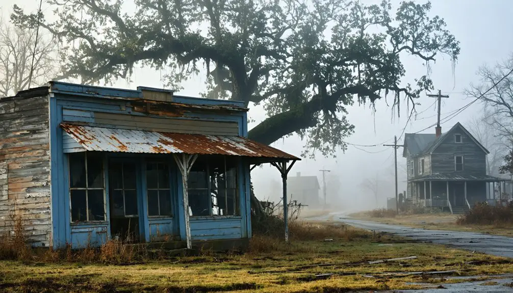
Today, you’ll find little remaining of this once-active settlement beside scattered remnants and historical markers, serving as a stark reminder of how quickly a thriving community can fade into memory.
Natural Features and Geographic Significance
Nestled in Newton County, Missouri, Monark Springs occupies a distinctive geographical position approximately five miles east of Neosho at an elevation of 1,158 feet.
You’ll find the settlement positioned strategically on Hickory Creek‘s north bank, where natural springs once provided essential water resources for the community.
The area’s natural biodiversity thrives within the karst topography typical of southwestern Missouri’s Ozark Plateau.
The floodplain ecology creates a dynamic environment where seasonal water flows shape the landscape and support local wildlife.
The spring’s location, roughly 500 feet southeast of the town site, historically influenced settlement patterns and supported community activities.
The site’s proximity to U.S. Route 60 and the former Missouri and North Arkansas Railroad enhanced its connectivity, while the surrounding conservation areas preserve the region’s unique ecological characteristics.
Legacy in Missouri’s Rural History
Beyond its natural features, Monark Springs carved out a significant place in Missouri’s rural history through its religious and cultural impact.
You’ll find its legacy deeply woven into the fabric of rural Missouri life, particularly through the religious gatherings that drew pilgrims from across multiple states. The site’s cultural significance extends beyond its physical remnants, serving as a reflection of rural community development and faith-based connections.
- The 1940 tabernacle construction united believers through divinely inspired architecture
- Railway connections transformed the site into a hub for interstate spiritual fellowship
- The campground’s influence shaped regional religious travel patterns for decades
- Financial support from multiple states demonstrated the community’s far-reaching impact
Today, while Monark Springs exists as a ghost town, its historical importance continues to resonate through preserved records and oral histories.
Frequently Asked Questions
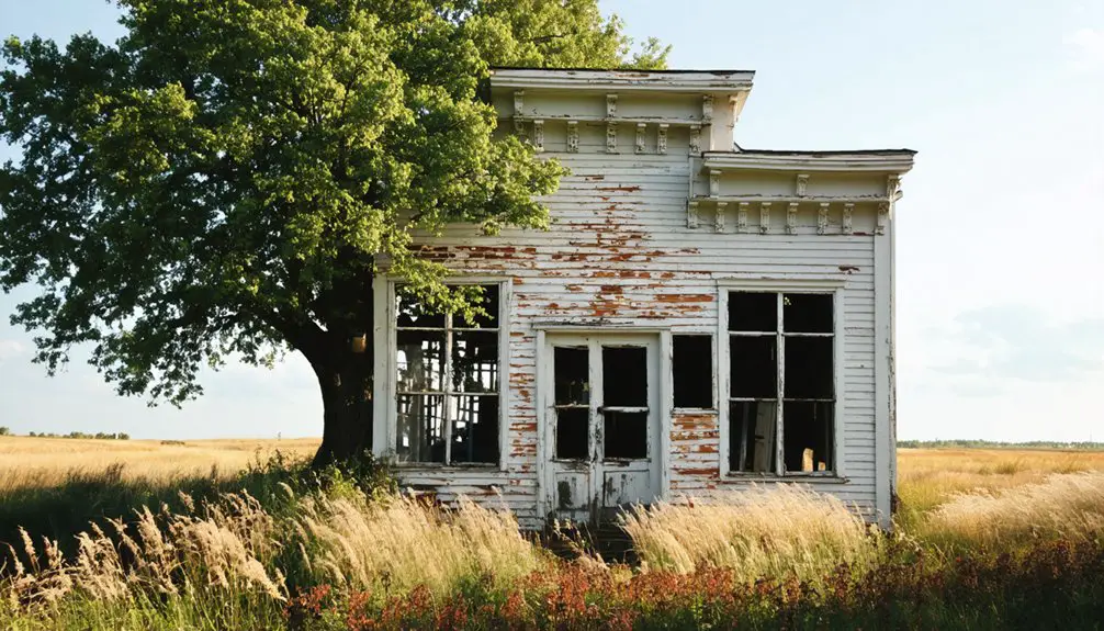
Are There Any Remaining Structures or Buildings Still Standing in Monark Springs?
You’ll find several abandoned mansions and resort buildings with historical significance still standing, though they’re deteriorating. The remaining architecture includes high-arched doorways, third-floor dormers, and some intact roofs.
What Was the Peak Population of Monark Springs During Its Heyday?
You won’t find exact peak population records in Monark Springs history or demographics, but historical evidence suggests a few hundred permanent residents, with seasonal spikes during resort gatherings reaching several hundred more.
When Was the Last Permanent Resident Known to Live There?
You won’t find definitive records of the last resident, though local ghost stories suggest the final inhabitants left by the mid-1950s, following the devastating typhoid outbreak at the church camp.
Can Visitors Legally Access and Explore the Monark Springs Site Today?
After 70+ years as a ghost town, you can’t freely access this site today. Site exploration requires verifying land ownership and obtaining proper permissions, as no public access regulations exist.
Were There Any Schools or Churches Established in Monark Springs?
You’ll find limited educational history beyond a 1956 Church of God camp meeting that drew 400+ attendees. While temporary religious gatherings occurred, there’s no evidence of permanent schools or churches established.
References
- https://kids.kiddle.co/Monark_Springs
- https://www.youtube.com/watch?v=wiF41PIwD74
- https://www.youtube.com/playlist?list=PL4jqwLUrhjNScUWj03mXzSKyBNMNqZHGw
- https://en.wikipedia.org/wiki/List_of_ghost_towns_in_Missouri
- https://alchetron.com/Monark-Springs
- https://en.wikipedia.org/wiki/Missouri_and_North_Arkansas_Railroad
- http://www.cityofwheaton.mo.citygovt.org/Default.aspx?tabid=5548
- https://www.loquis.com/en/loquis/6658392/Monark+Springs+Missouri
- https://www.watershedcommittee.org/wp-content/uploads/2011/04/missouri-springs-final-edits-april-11-2.pdf
- https://www.npca.org/articles/4700-is-big-spring-the-biggest-spring