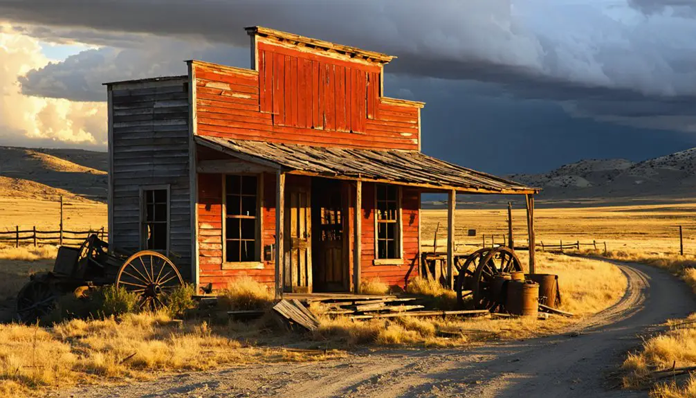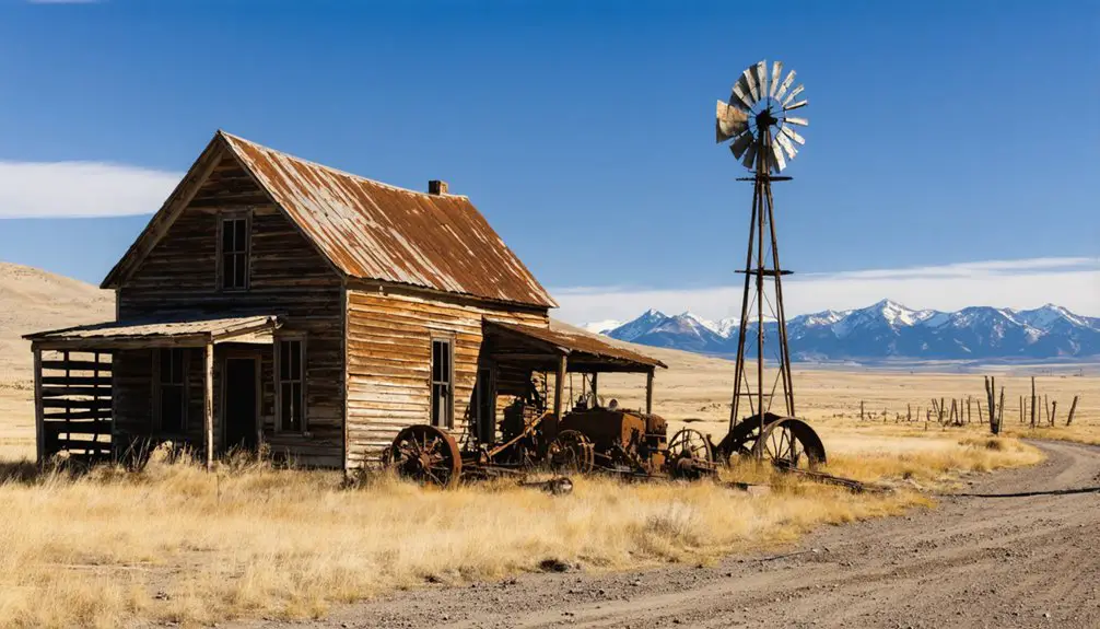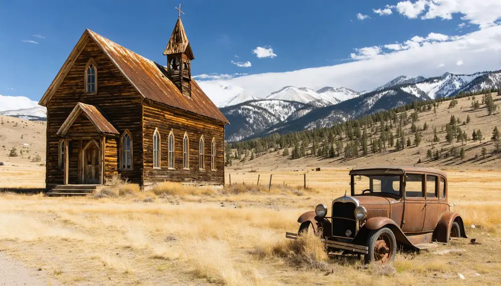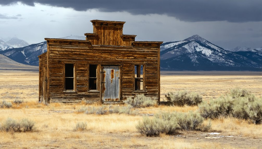
Wyoming has over 430 documented ghost town sites you can explore without barriers or guided tours. These towns rose fast around gold, coal, oil, and railroads, then collapsed just as quickly once resources dried up or rail routes shifted. You’ll find log ruins, roofless walls, old graveyards, and wagon trails still visible across the landscape. If you want to know which sites are worth your time and how to reach them safely, keep going.
Key Takeaways
- Wyoming has over 430 documented ghost town sites featuring original structures, wagon trails, and graveyards accessible without barriers.
- Nearly all ghost towns formed around resources like gold, coal, oil, or railroads, then collapsed once those resources were exhausted.
- Notable sites like Dana No. 1 and Rudefeha retain strong atmospheric authenticity, preserving frontier history beyond written records.
- Many sites are remote with no cell service, requiring offline maps, survival gear, and careful route planning before visiting.
- Visitors must follow legal restrictions against artifact removal and avoid disturbing foundations, graveyards, or fragile standing structures.
Wyoming Ghost Towns: Why the Ruins Hit Differently Than Any Other State
What separates Wyoming from other states is scale and rawness. With over 430 documented sites and most still unverified, the scope of what remains uncatalogued is striking.
Wyoming’s scale is unmatched — over 430 documented sites, with countless more still waiting to be found.
Original log structures, worn wagon trails, and unmarked graveyards survive without barriers or guided tours.
But preservation challenges are serious. Sites revert to pasture, structures collapse, and records stay incomplete.
You get the freedom to explore — but also the responsibility to recognize what’s quietly disappearing.
The Boom-and-Bust Cycles That Built and Buried These Wyoming Towns
When you trace Wyoming’s ghost towns back to their origins, you’ll find that nearly every one of them rose on the strength of a single resource—gold, coal, oil, or railroad traffic.
Once that resource thinned out or rerouted, the population followed, leaving structures, graveyards, and wagon trails behind as the only record of what once stood.
One compiled map identifies 430 such vanished or historical sites across the state, each marking a cycle that built fast and collapsed faster.
Resource Rushes Sparked Growth
Throughout Wyoming’s history, resource rushes ignited rapid settlement that collapsed just as fast as it formed. When gold, coal, or oil surfaced, workers flooded in, built camps overnight, and extracted what they could before moving on.
You’ll find mining relics scattered across Carbon County and South Pass country that document exactly how quickly fortunes reversed. Railroad history tells a parallel story — towns platted along Union Pacific’s mainline thrived only while rail traffic justified them.
Once the resource thinned or the route shifted, populations evaporated within a single season. These weren’t failures of ambition; they were the predictable outcomes of extraction-driven economies with no secondary foundation.
Understanding that cycle explains why roughly 430 documented sites across Wyoming now exist only as ruins, foundations, or entries on a ghost-town map.
Bust Cycles Emptied Towns
Boom-and-bust cycles didn’t just shape Wyoming’s ghost towns — they determined their entire lifespan. When resources dried up, populations vanished almost overnight, leaving behind structures that now serve as historical preservation anchors for Wyoming’s frontier identity.
Local legends grew around these sudden collapses, keeping community memory alive long after residents left.
Four patterns consistently emptied these towns:
- Mineral depletion forced miners to chase better deposits elsewhere
- Railroad rerouting cut off towns from economic lifelines instantly
- Oil field exhaustion collapsed 1920s boom camps within years
- Homestead failures drove settlers out after harsh conditions overwhelmed weak economics
You can still walk these sites today and read the bust cycle’s aftermath directly through foundations, roofless ruins, and abandoned graveyards scattered across Wyoming’s landscape.
Ruins Mark Boom Legacies
What the ruins scattered across Wyoming’s ghost towns preserve isn’t decay — it’s physical evidence of how fast extractive economies could build and then abandon entire communities. Log structures, roofless walls, graveyards, and worn wagon trails each carry cultural significance that standard historical records can’t fully replicate.
Sites like Dana No. 1 near Hanna and Rudefeha in Carbon County hold atmospheric weight precisely because they remain largely untouched. But preservation challenges are real — foundations crumble, structures collapse, and some sites have already reverted to pasture or been submerged entirely.
When you visit these places, you’re reading a landscape that documents both ambition and failure. Wyoming’s boom cycles left material traces that no written account matches for raw, immediate impact.
Best Wyoming Ghost Towns to Visit Right Now
Wyoming’s ghost towns offer some of the most tangible connections to the Old West still accessible today, and a handful of sites stand out for their preserved remains and documented heritage value. Historic preservation efforts and community stories embedded in these landscapes make them worth prioritizing:
- Benton – Carbon County’s first documented ghost town, anchoring Wyoming’s frontier timeline.
- Battle – A small abandoned settlement near Encampment with visible structural remains.
- Rudefeha – An abandoned Carbon County mining town tied directly to extractive boom cycles.
- Dana No. 1 – Located near Hanna, noted for its heavy atmosphere and raw authenticity.
You’ll find these sites reward exploration through ruins, graveyards, and trails that document exactly how fast frontier economies collapsed.
What You’ll Actually Find When You Arrive at These Sites
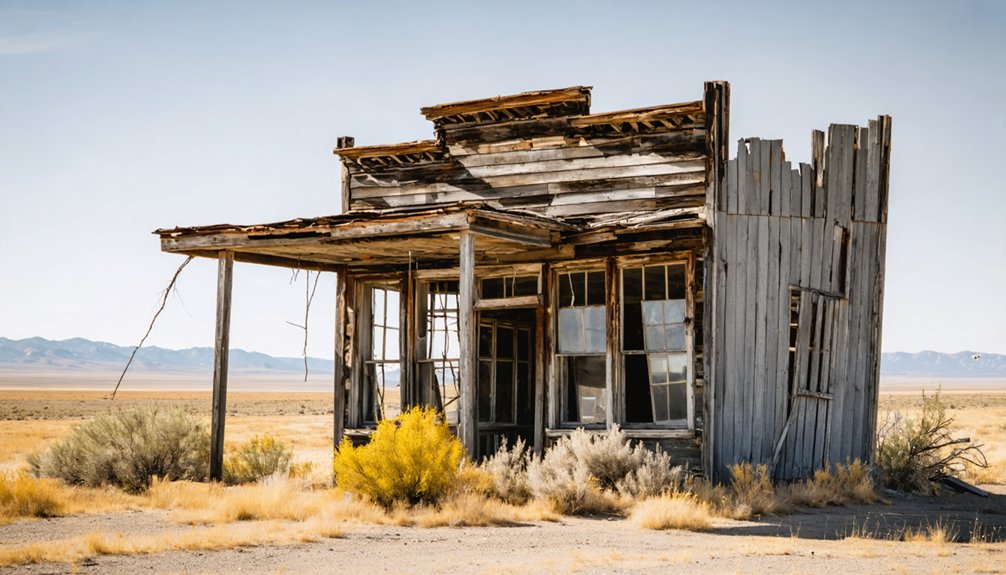
Arriving at Wyoming’s ghost towns, you’ll encounter a spectrum of physical remains that varies sharply by site. Some locations preserve original log structures, roofless ruins, and abandoned artifacts scattered across open ground. Others have reverted entirely to pasture, leaving only foundations or scattered footings.
Each ghost town delivers something different — intact log walls, crumbled foundations, or simply open pasture where a community once stood.
Historic graveyards appear at select sites, offering direct documentation of the communities that once operated there. Worn wagon trails remain visible where foot traffic once connected settlements.
You won’t find polished restorations at most of these places — what you’ll find instead are raw, unmediated landscapes shaped by extraction economies that collapsed quickly. Conditions range from structurally intact buildings to completely submerged or demolished sites.
Research your target location beforehand, because physical accessibility and remaining features differ considerably across Wyoming’s 430 recorded historical sites.
How to Explore Wyoming Ghost Towns Without Getting Stranded
Before you head out to any of Wyoming’s 430 documented ghost-town sites, you’ll want to map your route carefully, since many locations sit along remote forest roads or unmarked terrain with no cell service.
You should pack essential survival gear—water, food, a first-aid kit, and navigation tools—because these sites often lack infrastructure and conditions can shift fast.
Check local land-access rules and road conditions through county or forest service resources before you leave, so you don’t find yourself stranded miles from help.
Plan Your Route Ahead
Reaching Wyoming’s ghost towns without incident starts with one non-negotiable step: map your route before you leave pavement. Many sites tied to historical preservation sit along unmaintained forest roads with zero cell service. Local legends surrounding places like Dana No. 1 or Rudefeha draw curious explorers deep into Carbon County’s backcountry—terrain that punishes the unprepared.
Before you head out:
- Download offline maps covering your full route, including alternate exits.
- Confirm road conditions with the Wyoming Department of Transportation or local ranger stations.
- Identify the nearest town with fuel and emergency services relative to each site.
- Note GPS coordinates for each ghost town stop, not just the general area.
Precision here protects your freedom to explore without becoming a rescue statistic.
Pack Essential Survival Gear
Getting stranded in Wyoming’s backcountry isn’t a remote possibility—it’s a documented risk that reshapes quickly when temperatures drop, roads wash out, or a vehicle breaks down miles from the nearest town. Travel safety demands you carry water, food, a first-aid kit, maps, and a charged communication device before reaching any ghost-town site.
Cell service disappears fast in Carbon County’s remote corridors and South Pass terrain.
Preservation tips apply here too—pack out everything you bring in, and avoid disturbing foundations, graveyards, or standing structures. Ruins are fragile, and human interference accelerates deterioration.
Bring layers, sturdy boots, and sun protection regardless of season. Wyoming’s weather shifts without warning. Your freedom to explore these heritage landscapes depends entirely on your preparation before you leave pavement behind.
Know Before You Go
Exploring Wyoming’s ghost towns without preparation invites real consequences. Terrain is uneven, cell service is unreliable, and weather shifts fast. Local legends may romanticize these sites, but the physical reality demands respect. Preservation challenges mean structures are unstable and legally protected in many cases.
Before you go, confirm these four things:
- Research land ownership — sites sit on federal, state, or private land with different access rules.
- Check road conditions — many access roads become impassable after rain or snow.
- Verify legal restrictions — removing artifacts violates federal preservation law.
- File a travel plan — tell someone your route, destination, and expected return time.
Your freedom to explore depends on your willingness to prepare intelligently before leaving pavement behind.
Wyoming Ghost Towns Worth the Dirt Road Drive
Preservation challenges are real here. Structures face weather exposure, vandalism, and neglect without formal protection.
You’ll find roofless ruins, stone foundations, and occasionally intact log buildings. Bring a map, since signage is minimal.
These sites function as heritage landscapes rather than curated attractions, which means you experience history on its actual terms, unfiltered and unrestored.
Frequently Asked Questions
How Many Ghost Towns Have Been Officially Documented Across Wyoming?
You’ll find 430 documented ghost towns across Wyoming, though only 6 have full verified records. These sites drive ghost town preservation and historic site tourism, letting you explore Wyoming’s raw, freedom-filled frontier heritage firsthand.
Which Wyoming Ghost Town Is Considered the Very First One?
Benton’s your answer — it’s Wyoming’s very first ghost town, documented by Carbon County. You’ll find haunting stories tied to its abandoned buildings, echoing a raw, free frontier era that’s as compelling as it is historically significant.
Are Wyoming Ghost Towns Connected to Union Pacific Railroad History?
Yes, you’ll find railroad expansion directly shaped Wyoming’s ghost towns, especially along the Union Pacific mainline corridor. Coal and rail settlements thrived then vanished, making historic preservation of these documented sites essential for understanding that transformative era.
Can Geocaching Activities Be Done at Wyoming Ghost Town Sites?
Like treasure hunters following an old map, you can absolutely geocache at Wyoming’s ghost town sites, blending outdoor adventure with historical preservation as you explore ruins, artifacts, and landscapes that document the frontier’s fascinating, documented past.
Have Any Wyoming Ghost Towns Been Submerged or Completely Destroyed?
Yes, you’ll find that some sites have been submerged, destroyed, or reverted to pasture, ending any abandoned mining remnants. Historic preservation efforts couldn’t save every location, so you’re exploring a documented but increasingly fragile record.
References
- https://en.wikipedia.org/wiki/List_of_ghost_towns_in_Wyoming
- https://travelwyoming.com/blog/stories/post/5-wyoming-ghost-towns-you-need-to-explore/
- https://takingthekids.com/long-abandoned-wyoming-ghost-towns-where-the-old-west-still-lingers/
- https://www.youtube.com/watch?v=B5gB_sNt9A0
- https://www.wyomingcarboncounty.com/blog/123-5-ghost-towns-to-explore
- https://ghosttowntrails.com/wyoming