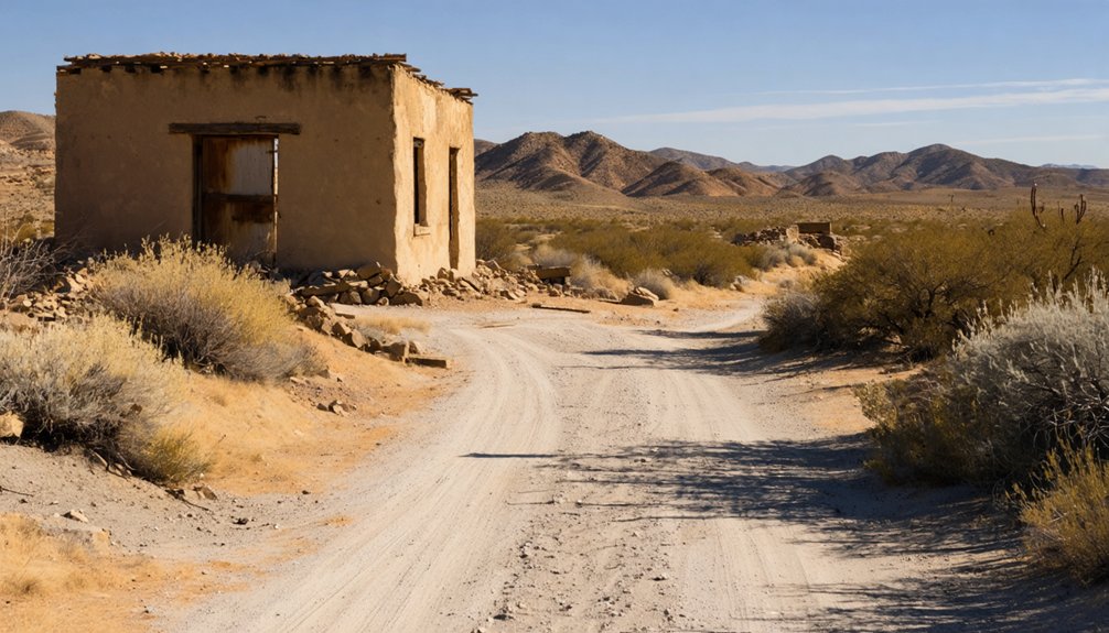
You’ll find Agua Fria’s ghost town marker along Highway 140, about 3.2 miles west of Mariposa—a simple roadside stop hiding a remarkable story. In 1849, Sonoran miners built a booming camp of 75 structures here, and by 1850 it was Mariposa County’s first county seat. Then a single fire on June 22, 1866, erased everything. No buildings survived. Stick around, and you’ll uncover exactly what made this vanished town so worth remembering.
Key Takeaways
- Agua Fria is located at 4189 State Highway 140, roughly 3.2 miles west of Mariposa, accessible via standard 2WD vehicle.
- California Historical Landmark 518 marks the site; no historic buildings remain after a devastating fire destroyed the entire town in 1866.
- Spring offers the best visit conditions, with mild temperatures, wildflowers, and scenic creek views along Highway 140.
- The marker sits on private property, so visitors should plan for a brief roadside stop rather than extended exploration.
- Combine Agua Fria with Mariposa’s 1854 courthouse and local museum for a fuller Gold Rush road trip experience.
How to Find the Agua Fria Ghost Town on Highway 140
Finding Agua Fria is invigoratingly straightforward: the California Historical Landmark 518 marker sits at 4189 State Highway 140, roughly 3.2 miles west of Mariposa, close enough to the road that you won’t need to venture into backcountry terrain. Pull over, step out, and let the landscape speak.
The original townsite lies approximately one-quarter mile north of Carson Creek, where Sonoran miners once worked placer mining techniques along Agua Fria Creek’s graveled banks.
Seventy-five structures once defined the town’s architecture — stores, a hotel, gambling halls — all now erased by an 1866 fire.
The land carries private-property restrictions, so the roadside marker becomes your portal. Highway 140’s standard 2WD access means nothing stands between you and this forgotten slice of Gold Rush California.
Agua Fria’s Rise and Fall: Gold Rush Camp to Ghost Town
When Sonoran miners stumbled onto Agua Fria Creek in the early summer of 1849, they didn’t just find cold water — they ignited a settlement that would briefly anchor California’s political landscape. Within months, you’d have found a dozen stores, gambling tables, a hotel, and a bowling alley packed into roughly 75 buildings.
Agua Fria’s mining history ran deep enough to make it Mariposa County’s first county seat in 1850.
Then the unraveling began. The county seat shifted to Mariposa in 1852, pulling commerce and ambition with it.
Ghost town legends often end with a slow fade, but Agua Fria didn’t get that luxury — on June 22, 1866, fire consumed everything. Nobody rebuilt.
What the flames left behind, time erased completely.
What You’ll Actually See at the Agua Fria Historic Marker
Roadside markers rarely announce themselves with much drama, and the California Historical Landmark 518 sign along Highway 140 is no exception. You’ll pull off near mile marker 4189 and find a modest plaque standing where roughly 75 buildings once crowded together—stores, gambling halls, a hotel, a bowling alley. That’s the quiet power of the spot.
No historic architecture survives. Fire erased it all in 1866, and nature reclaimed the rest. What you’re really reading into is absence—a landscape that holds mining history without displaying it.
The surrounding hills and creek corridor give you enough atmosphere to let your imagination do the work. Since the townsite sits on private property, the marker itself is your access point. It’s enough.
Best Time to Visit Agua Fria and What to Expect Seasonally
Timing your visit to Agua Fria is straightforward—Highway 140 stays accessible year-round, and snow rarely closes the route. Still, seasonal weather shapes your experience considerably.
Highway 140 runs open year-round, but the season you choose will quietly shape everything you find there.
- Spring (March–May): Wildflowers soften the Gold Rush landscape, temperatures stay mild, and the creek context that drew Sonoran miners here in 1849 feels alive.
- Summer (June–September): Heat builds quickly in these Sierra foothills. Remember, a June fire erased Agua Fria’s mining history entirely in 1866—summer sun still dominates this terrain.
- Fall and Winter (October–February): Cooler air, thinner crowds, and sharp light make roadside reflection easier. The quiet suits a ghost town.
Whatever season pulls you west on Highway 140, arrive with water, expect a brief stop, and move freely toward your next destination.
Nearby Gold Rush Sites Worth Adding to Your Mariposa Route
Agua Fria sits at the center of a region that generated some of California’s most dramatic Gold Rush history, so you’d be shortchanging yourself by treating it as a standalone stop.
Mariposa itself rewards exploration — its 1854 courthouse still stands, anchoring local legends about frontier justice and mining-era politics. The town’s museum documents preservation efforts that keep this layered history accessible rather than forgotten.
Push further along Highway 140 and you’ll find yourself tracing routes that Sonoran miners, speculators, and fortune-seekers once walked with genuine desperation. Each settlement tells a slightly different story about who struck it rich, who lost everything, and who simply moved on.
String these stops together and the Gold Rush stops feeling like a textbook chapter — it starts feeling lived-in.
Frequently Asked Questions
Is Agua Fria Ghost Town Accessible by a Standard Two-Wheel-Drive Vehicle?
You don’t need off-road vehicle requirements here — your standard 2WD handles it easily. Highway 140 delivers you straight to Historical Landmark 518, where historical preservation efforts guard Agua Fria’s memory along this freely roaming, open road.
Can Visitors Legally Enter the Agua Fria Townsite Beyond the Roadside Marker?
You likely can’t enter beyond the marker, as the townsite sits on private property. Respect historical preservation and your own visitor safety — the roadside view connects you powerfully enough to Agua Fria’s vanished, fire-swept world.
What Does the Name Agua Fria Actually Mean in English?
You might think it’s just a name, but “Agua Fria” means “cold water” in Spanish — a historically significant name origin honoring the invigorating springs that once drew weary Sonoran miners seeking freedom and fortune westward.
Were Upper Agua Fria and Lower Agua Fria Considered Separate Towns?
Yes, they were! You’ll find that Upper and Lower Agua Fria carried separate historical significance, sitting about a mile apart. Local legends suggest each community had its own distinct frontier spirit, pulse, and independent identity worth discovering.
How Long Did Agua Fria Serve as Mariposa County’s Official County Seat?
Agua Fria held Mariposa County’s seat for just 21 months—from February 1850 to November 1851. You’re walking through historic mining ground thick with local legends, where fleeting power once shaped California’s wild, free frontier.
References
- https://en.wikipedia.org/wiki/Agua_Fria
- https://www.exploratography.com/blog-49/agua-fria-california-hwy49
- https://www.ghosttowns.com/states/ca/aguafria.html
- https://westernmininghistory.com/towns/california/agua-fria/
- https://pt.wikipedia.org/wiki/Agua_Fria_(Califórnia)
- https://santafenm.gov/Historic-Agua-Fria-village.pdf
- https://noehill.com/mariposa/cal0518.asp
- https://janmackellcollins.wordpress.com/2021/05/
- https://ohp.parks.ca.gov/ListedResources/Detail/518
- http://www.nextexithistory.us/explore/historical-sites/the-townsite-of-agua-fria-california/



