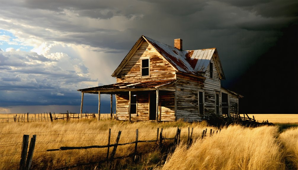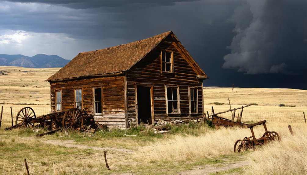
Planning a ghost town road trip to Anchor, South Dakota means venturing deep into Lawrence County’s Black Hills, near the historic Ragged Top mining district. There’s no signage, so you’ll need GPS, offline maps, and a high-clearance vehicle to navigate the rugged forest tracks. Once a booming gold rush settlement with nearly 1,000 residents, Anchor’s structures were completely demolished by 1967, leaving only open hillside terrain. Stick around to uncover the fascinating story behind this vanished frontier community.
Key Takeaways
- Anchor is located in Lawrence County, Black Hills, South Dakota, at approximately 5,801 feet elevation within the Ragged Top mining district.
- No signage or marked access points exist; bring GPS, offline maps, and historical survey records to navigate the site.
- High-clearance vehicles are essential for traversing rough forest tracks leading to the remote, unmarked location.
- The site has no standing structures or ruins, as buildings were deliberately demolished by 1967, leaving open hillside terrain.
- Deadwood serves as an ideal staging point, with over 600 regional ghost towns offering additional exploration opportunities nearby.
What Was Anchor, South Dakota?
Once a thriving Black Hills mining town, Anchor, South Dakota sat at roughly 5,801 feet elevation in Lawrence County, drawing hundreds of hopeful settlers during the 1870s gold rush. It likely took its name from the Balmoral and Anchor mining claims and built its economy around gold and silver extraction.
At its peak, Anchor housed nearly 1,000 residents, many of them Northern European immigrants chasing opportunity in the rugged wilderness. Its cultural significance runs deep, representing a defining chapter in Black Hills settlement history.
Yet preservation challenges have been severe — structures were deliberately demolished, transportation shifts accelerated abandonment, and by 1967 the town had completely vanished. Today, you’ll find open landscape where a bustling community once stood, making Anchor a ghost town site rather than a traditional ruins destination.
Where Exactly Is the Anchor Ghost Town Site?
You’ll find the Anchor ghost town site tucked into the Black Hills of Lawrence County, South Dakota, sitting at roughly 5,801 feet elevation within the old Ragged Top mining district.
Getting there puts you deep in one of the most historically rich mining corridors in the American West, where more than 600 ghost towns are scattered across the surrounding landscape.
Don’t expect signage or a marked destination — the former townsite leaves virtually no physical traces, so you’re fundamentally steering toward a place that exists more in historical record than on the ground.
Anchor’s Black Hills Location
Tucked into Lawrence County in South Dakota’s Black Hills, the Anchor ghost town site sits at roughly 5,801 feet elevation within the historic Ragged Top mining district. You’re stepping into terrain shaped by the 1870s gold rush, where mining history runs as deep as the old shafts once carved into these hills.
The Black Hills hold well over 600 ghost towns, and Anchor ranks among the most completely vanished. Ghost town preservation isn’t really the story here — no structures survive, and few foundations remain.
What you’ll find instead is open landscape carrying the quiet weight of a community that once nearly reached 1,000 residents. Pack your curiosity, set your GPS for Lawrence County, and prepare for a raw, unfiltered encounter with the Black Hills’ forgotten past.
Lawrence County Geographic Context
Lawrence County stretches across the northern Black Hills, bordering Wyoming to the west and anchoring some of South Dakota’s most storied mining terrain. Anchor sits within this rugged landscape at roughly 5,801 feet elevation, tucked inside the Ragged Top mining district. You won’t find a marked exit or a welcome sign pointing you toward the site.
What you’ll find is open country with deep historical roots demanding your attention.
Urban archaeology becomes your primary tool here, since few foundations survive and cultural preservation efforts haven’t prioritized this particular site. You’re practically reading the land itself.
Lawrence County’s dramatic terrain rewards explorers willing to navigate without guarantees of dramatic ruins. Bring maps, study the district’s mining history beforehand, and approach the site with genuine curiosity rather than expecting a polished destination.
Reaching The Former Townsite
Finding the Anchor ghost town site demands patience, since no official markers or maintained access roads guide you to the former townsite within Lawrence County’s Ragged Top mining district. You’re traversing terrain where mining history dissolved into open landscape, leaving almost nothing behind at roughly 5,801 feet elevation.
Your best approach combines historical maps, GPS coordinates, and local knowledge gathered from Lawrence County resources or Black Hills ghost town lore communities online.
Experienced explorers recommend cross-referencing old survey records against current topographic maps before you head out. Don’t expect foundations or signage — Anchor’s structures were deliberately demolished, and the land reclaimed whatever remained.
You’ll find open hillside rather than dramatic ruins. That raw emptiness, though, carries its own reward for travelers chasing authentic frontier history rather than curated experiences.
How the 1870s Gold Rush Built Anchor
When you trace Anchor’s roots, you land squarely in the chaotic energy of the 1870s Black Hills gold rush, the same wave of mineral fever that reshaped the entire region. Prospectors staked claims across Lawrence County, and Anchor likely took its name directly from the Balmoral and Anchor group of mining claims that anchored the settlement’s identity and purpose.
Gold Rush Origins
How did a remote stretch of the Black Hills transform into a bustling mining settlement almost overnight? Gold did it. When prospectors flooded Lawrence County during the 1870s rush, they didn’t just dig holes — they built a world. Anchor emerged from that fever, its roots tied directly to the Balmoral and Anchor mining claims first recorded around 1878.
Town development followed the ore. Workers arrived, support services took shape, and a community of Northern European immigrants planted themselves at 5,801 feet elevation. Mining technology drove everything forward — underground extraction methods and quartz crushing mills turned raw hillsides into economic engines.
Gold and silver weren’t just resources; they were the blueprint for Anchor’s entire existence. You can trace every street and structure back to that original mineral discovery.
Mining Claims Shaped Anchor
The Balmoral and Anchor mining claims didn’t just give this town its name — they gave it a reason to exist. When gold and silver pulled prospectors into the Black Hills during the 1870s, settlement patterns followed the ore — and Anchor was no exception. Workers clustered where the extraction happened, building a community around underground mining techniques and quartz crushing mills.
What makes Anchor especially compelling is its mining innovations. Operators eventually adopted heap leaching systems, pushing productivity beyond traditional methods. Those technological choices shaped how long the town survived and who stayed to work it.
Northern European immigrants answered the call, filling the hillsides with labor and ambition. You’re not just visiting a ghost town — you’re standing where bold decisions carved a settlement from raw wilderness.
How Anchor Grew to Nearly 1,000 Residents
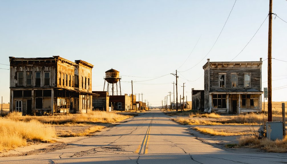
During the 1870s gold rush, Anchor pulled in a remarkably diverse wave of Northern European immigrants who came chasing gold and silver in the Black Hills. Advanced mining technology fueled rapid growth, pushing population toward nearly 1,000 residents at its peak. Ghost town preservation efforts later confirmed what early records suggested — this was once a thriving, self-sustaining community.
At its peak, Anchor’s gold rush drew nearly 1,000 Northern European immigrants chasing Black Hills riches.
The town’s growth followed a clear pattern:
- Mine workers arrived first, establishing underground operations
- Quartz crushing mills created steady employment opportunities
- Support services and businesses followed the labor force
- Community infrastructure expanded alongside mining output
You’d have witnessed a bustling settlement carved from rugged terrain at 5,801 feet. That raw frontier energy defined Anchor’s identity, making its eventual disappearance all the more striking to explore today.
What Mining Methods Powered the Anchor Economy
When you explore Anchor’s history, you’ll find that miners powered the local economy through a combination of underground extraction, quartz crushing mills, and heap leaching systems.
You can picture crews working deep beneath the Black Hills terrain, pulling gold and silver ore from underground shafts before feeding raw rock through crushing mills that separated precious metals from waste.
These layered techniques made Anchor a serious industrial operation, not just a prospector’s camp, and they explain how the settlement supported nearly 1,000 residents at its peak.
Underground Gold Extraction Techniques
Buried beneath the rugged Black Hills terrain, Anchor’s miners relied on underground extraction techniques to pull gold and silver from the earth. You’re stepping into a world where raw determination met evolving mining technology to access the region’s mineral wealth.
Workers carved through solid rock using methods that defined the era:
- Shaft sinking to reach deep ore veins beneath the surface
- Drift mining to follow horizontal gold-bearing quartz seams
- Timbering systems to stabilize tunnels against collapse
- Ore processing through quartz crushing mills that refined raw rock into sellable material
These techniques demanded skilled hands and relentless effort. Every ton of ore pulled upward represented both danger and possibility.
Understanding this underground world deepens your appreciation for Anchor’s remarkable, if fleeting, chapter in Black Hills history.
Quartz Crushing Mill Operations
Once raw ore left Anchor’s underground tunnels, it entered the crushing mill — the economic engine that transformed worthless rock into gold and silver revenue. Massive stamp mills, the dominant mining equipment of the era, pulverized quartz rock into fine powder, releasing precious metals locked inside. You’d have heard that rhythmic pounding echoing across Lawrence County’s ridgelines long before spotting the town itself.
Workers fed raw quartz continuously into the ore processing system, where water and mechanical force separated gold and silver from crushed material. Every ton processed meant wages paid, supplies purchased, and Anchor’s community sustained.
Without the mill running, the mines themselves became meaningless. That crushing operation wasn’t just machinery — it was Anchor’s heartbeat, driving nearly 1,000 residents through their daily lives at 5,801 feet elevation.
Heap Leaching Mining Systems
Heap leaching gave Anchor’s miners a second chance at ore that stamp mills couldn’t fully process. This mining technology extracted residual gold and silver by trickling chemical solutions through crushed rock piles, pulling value from material once considered waste. You’re fundamentally looking at industrial ingenuity born from necessity.
When you visit this ghost town preservation site, picture these operational stages once active across the landscape:
- Crushed ore spread across lined pads
- Chemical solutions applied systematically overhead
- Precious metals collected from drainage points
- Refined material processed for transport
This layered approach stretched Anchor’s economic lifespan considerably. You won’t find equipment today, but understanding heap leaching helps you read the terrain differently. The land itself carries the memory of a community that refused to quit too early.
Why There’s Nothing Left to See at the Anchor Townsite
Unlike many ghost towns that leave behind crumbling walls or rusted machinery, Anchor offers you nothing but open landscape. The structures were deliberately demolished rather than left to decay, and no preservation efforts ever protected the site.
What once housed nearly 1,000 residents simply disappeared, erased by human hands rather than natural disaster.
By 1967, Anchor had completely vanished. Transportation shifts from rail to truck gutted the town’s purpose long before demolition finished the job.
You won’t find foundations, footings, or even the urban legends that typically haunt abandoned mining settlements.
What you do get is raw Black Hills terrain sitting at 5,801 feet, where the wind moves freely across land that once buzzed with gold rush ambition.
That open silence tells its own story.
How Rail Decline and Mining Collapse Erased Anchor
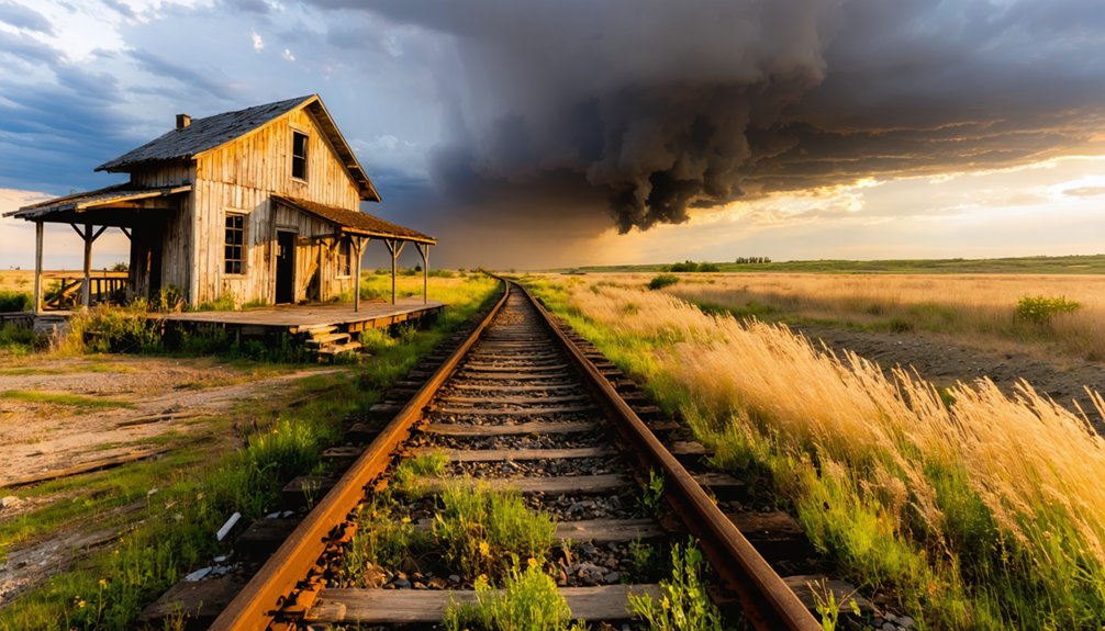
Anchor’s fate arrived in two waves, and neither gave the town a fighting chance. Mining technology shifted, ore yields dropped, and transportation decline cut the town’s lifeline entirely. When trucks replaced rail lines, Anchor lost its economic backbone overnight.
You’re looking at a collapse driven by cold, hard logistics:
- Underground mining costs outpaced gold and silver returns
- Heap leaching systems couldn’t rescue falling ore grades
- Rail abandonment made supply routes impractical and expensive
- Truck transport favored larger, better-connected settlements
Once those forces combined, residents didn’t linger. They packed up and moved toward towns that still had a pulse. Anchor didn’t burn or flood — it simply became unnecessary. That quiet erasure makes it one of the Black Hills’ most honest ghost town stories.
Anchor vs. Anchor City: Two Different Places
Before you load up the truck and head into Lawrence County, there’s one mix-up worth clearing before it costs you a wasted afternoon: Anchor and Anchor City aren’t the same place. They’re separate settlements with distinct histories.
Anchor City recorded 291 residents back in 1881 and operated independently from the Ragged Top mining district site you’re actually chasing. Confusing the two could send you miles in the wrong direction.
Neither location offers tourist amenities or historical preservation infrastructure, so don’t expect interpretive signs or maintained trails at either spot.
Anchor itself sat at 5,801 feet and has left virtually no physical trace.
Know exactly which coordinates you’re targeting before you leave pavement behind, because the Black Hills don’t forgive careless navigation.
How to Get to Anchor From the Black Hills
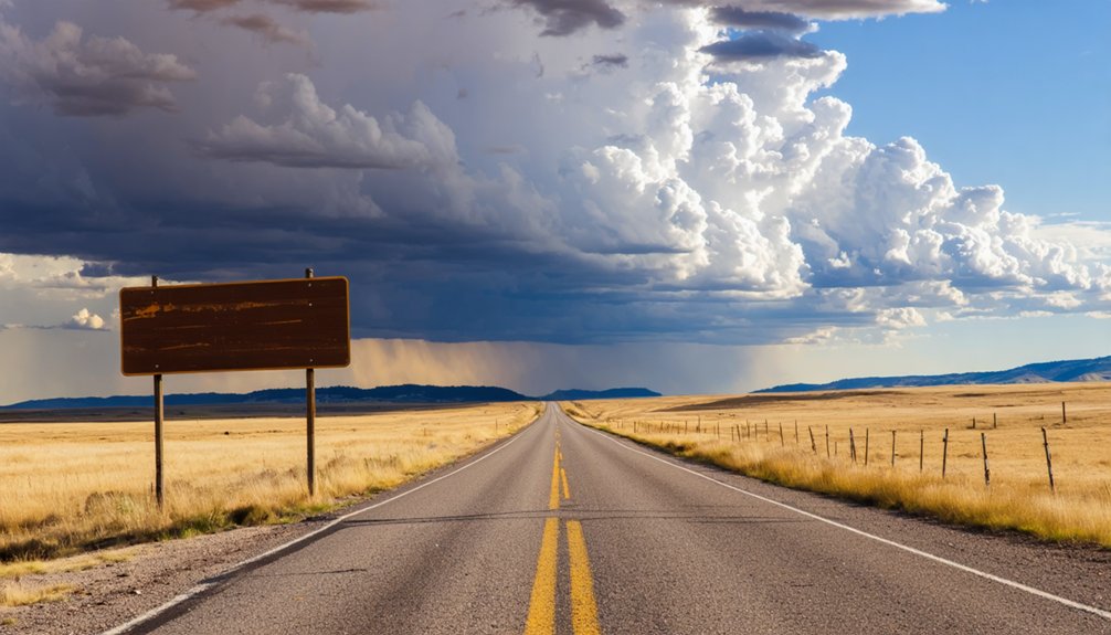
Getting to Anchor means committing to a back-roads push through the Black Hills, where paved roads eventually give way to rough forest tracks cutting through Lawrence County’s higher elevations. You’re heading into the Ragged Top mining district at roughly 5,801 feet, so plan accordingly.
Reaching Anchor demands commitment — rough forest tracks, high elevation, and the Black Hills backcountry on its own terms.
Before you roll out, lock down these essentials:
- High-clearance vehicle — forest tracks won’t forgive low-profile rides
- Offline maps — cell service disappears fast in Lawrence County’s backcountry
- Ghost town preservation mindset — nothing remains to disturb, but leave the landscape untouched
- Research on mining technology history — understanding heap leaching and quartz milling adds depth to what feels like empty terrain
Deadwood serves as your best staging point. From there, push southwest into the hills and let the landscape tell Anchor’s story.
Other Black Hills Ghost Towns Near Anchor
Once you’ve walked Anchor’s empty ground, the Black Hills open up fast with more ghost town stories worth chasing — and there are well over 600 of them scattered across this corner of South Dakota.
Don’t confuse nearby Anchor City, a separate settlement that recorded 291 residents back in 1881, with Anchor itself. Both sites reward curious travelers differently.
Some Black Hills ghost towns offer stronger historic preservation efforts, with visible foundations and interpretive signage supporting modern tourism. Others, like Anchor, deliver raw, unfiltered landscape where imagination does the heavy lifting.
You’re free to build your own route through the Ragged Top mining district and beyond, connecting mining-era dots across Lawrence County and chasing the restless, vanished world the 1870s gold rush left behind.
Frequently Asked Questions
Is There Any Admission Fee to Visit the Anchor Ghost Town Site?
You’ll find no admission fee at Anchor’s ghost town site! It’s an open landscape where historical preservation meets raw freedom. Don’t expect visitor amenities — just wide, adventurous terrain and the echoes of South Dakota’s gold rush past.
What Is the Best Time of Year to Visit Anchor?
Like a open road calling you forward, summer’s your best bet! You’ll enjoy mild seasonal weather perfect for exploring, and local festivals nearby add to the adventure, making your Black Hills ghost town journey truly unforgettable.
Are There Any Guided Tours Available at the Anchor Townsite?
You won’t find formal guided tours at Anchor’s vanished townsite, but you’re free to explore its rich historical preservation legacy independently. Chase local legends of the gold rush era and let your adventurous spirit guide you through this open landscape.
Is the Anchor Ghost Town Site on Public or Private Land?
The knowledge doesn’t confirm whether Anchor’s land is public or private. Among 600+ Black Hills ghost towns, historical preservation varies wildly. You’ll want to verify local legends and land ownership before you venture out exploring freely.
Can You Camp Overnight Near the Former Anchor Townsite?
You’ll find camping options near Anchor’s former townsite, though you should verify land access first. Embrace the freedom of Black Hills nights, perfect for scenic photography and honoring historical preservation while exploring this vanished gold rush settlement.
References
- https://en.wikipedia.org/wiki/List_of_ghost_towns_in_South_Dakota
- https://www.youtube.com/watch?v=hgjKxukYW5w
- https://www.sdpb.org/rural-life-and-history/2023-08-21/some-black-hills-ghost-towns-and-their-origins
- https://www.youtube.com/watch?v=CoExEOOpobg
- https://kids.kiddle.co/List_of_ghost_towns_in_South_Dakota
- https://espnsiouxfalls.com/ixp/481/p/south-dakota-ghost-towns-2/
- https://www.sdhspress.com/journal/south-dakota-history-2-2/some-black-hills-ghost-towns-and-their-origins/vol-02-no-2-some-black-hills-ghost-towns-and-their-origins.pdf