Planning a road trip to Autwine, Oklahoma means visiting a ghost town where no buildings remain—just open fields and a weathered Santa Fe railroad bed marking where a thriving agricultural community once stood. You’ll need a private vehicle, good GPS coordinates (36.72194°N, 97.23000°W), and a visit timed for spring or fall to avoid brutal summer heat. Pair your stop with nearby Ponca City attractions for the full experience. There’s far more to this forgotten place than first meets the eye.
Key Takeaways
- Autwine is located in Kay County, Oklahoma, west of Ponca City, accessible only by private vehicle using GPS coordinates 36.72194°N, 97.23000°W.
- Visit during spring or fall for mild weather, wildflower blooms, and ideal road trip conditions; avoid summer heat and winter ice storms.
- The only remaining landmark is the weathered Santa Fe railroad bed; no structures, signage, or designated trails exist.
- Bring water, sturdy shoes, layered clothing, a camera, and a printed map, as the site offers no shade or shelter.
- Pair your visit with nearby Ponca City attractions like the Pioneer Woman Museum and Ponca City Cultural Center for historical context.
What Is Autwine, Oklahoma?
Tucked away in Kay County, Oklahoma, Autwine is a ghost town that’s faded so completely from the landscape that you won’t find a single building, ruin, or foundation marking its former existence — only open agricultural fields and the weathered bed of an old Santa Fe railroad track remain.
Sitting at an elevation of 971 feet, west of Ponca City, this vanished community once served as a thriving agricultural hub before closing its last store in 1922.
Historical artifacts lie buried beneath the soil, silent witnesses to a town that once had its own post office, railroad station, and residents.
Local legends surrounding its unusual name — honoring Antoine Roy of the Ponca Nation — give Autwine a compelling identity that outlasted every structure it ever held.
Autwine Oklahoma’s Rise and Collapse as an Agricultural Hub
Before Autwine became a ghost town buried under farmland, it thrived as a working agricultural center that drew settlers, commerce, and railroad activity to Kay County’s rolling plains.
Before it vanished into farmland, Autwine thrived — a true agricultural heartbeat of Kay County’s rolling plains.
Farmers relied on it as their primary hub for goods and services, and the Santa Fe Railroad kept trade moving through the region.
That momentum didn’t last. Better roads gave farmers access to larger towns, and businesses couldn’t compete.
The last store closed around 1922, the same year the post office shut down permanently.
The town simply emptied out.
Today, its archaeological significance lies hidden beneath cultivated fields, making historical preservation nearly impossible through traditional means.
You won’t find ruins or foundations, but you’ll find freedom in that open landscape — raw, honest, and unapologetically forgotten.
The Story Behind Autwine’s Unusual Name
Few ghost towns carry a name with as much layered history as Autwine, and tracing it back reveals a story of cultural tribute, clerical confusion, and small-town compromise.
Historical anecdotes surrounding the name point directly to Antoine Roy, a respected Ponca Nation leader.
Local legends offer two competing explanations for how “Antwine” shifted to “Autwine”:
- A clerical error permanently altered the original spelling during official registration.
- Railroad and post office naming conflicts forced residents into a compromise meeting.
- The resulting unified name blurred the original cultural tribute beyond recognition.
Before settling on Autwine, the town answered to Pierceton and Virginia City.
You’re fundamentally visiting a place where identity was debated, lost, and frozen in time — a genuinely compelling ghost town detail worth knowing.
What’s Left at the Autwine Townsite Today?
When you arrive at the Autwine townsite, you’ll find almost nothing standing — and that absence tells its own story. This ghost town has surrendered entirely to agriculture. Farmers have reclaimed every inch of land where stores, homes, and gathering places once stood. No foundations peek through the soil, no walls hint at former structures — just open fields stretching quietly in every direction.
Your best reward here is the old Santa Fe railroad remnants, the one tangible thread connecting you to Autwine’s past. That weathered railroad bed still cuts through the landscape, inviting you to walk its length and imagine freight moving through a once-active community.
Pair your visit with nearby Ponca City to give your journey meaningful context beyond the empty fields.
How to Get to Autwine, Oklahoma
To reach Autwine, head west from Ponca City using local roads that cut through Kay County’s agricultural landscape. Plug the GPS coordinates 36.72194°N, 97.23000°W into your navigation app for precision.
You’ll want to arrive in a private vehicle since no public transportation serves this remote location. Roadside parking near the old Santa Fe railroad bed gives you direct access to the site.
From there, you can follow the abandoned rail corridor on foot, which remains the only clearly distinguishable feature of what was once a thriving rural town.
Starting Location and Navigation
Nestled west of Ponca City in Kay County, Oklahoma, Autwine sits at coordinates 36°43′19″N, 97°13′48″W, making it straightforward to plug into your GPS before hitting the road. You’ll find this forgotten agricultural ghost town accessible only by private vehicle, so plan accordingly.
Follow these steps to navigate successfully:
- Set your GPS to 36.72194°N, 97.23000°W for precise routing from any starting point.
- Use Ponca City as your base, combining your trip with broader regional exploration to uncover local legends surrounding the Ponca Nation’s history.
- Arrive prepared to search for historical artifacts buried beneath agricultural fields along the abandoned Santa Fe railroad bed.
You won’t find signage marking Autwine’s location, so trusting your coordinates completely is essential.
Roads Leading To Autwine
Since Autwine lacks road signs or any visible markers, you’ll rely entirely on your GPS and a solid understanding of the surrounding road network to find it. Set your coordinates to 36.72194°N, 97.23000°W and head west from Ponca City along the regional highway network cutting through Kay County’s open agricultural landscape.
Rural county roads grid the area in classic Oklahoma fashion, giving you the freedom to approach from multiple directions. As you drive, consider the historical anecdotes surrounding this forgotten community — once a bustling agricultural hub with competing names and local legends about how “Antwine” mysteriously became “Autwine.”
The old Santa Fe railroad bed serves as your most reliable landmark once you’re close, cutting visibly through the surrounding farmland marking Autwine’s exact former footprint.
Parking And Trail Access
Once you’ve reached the GPS coordinates, you’ll find no designated parking lot or trailhead — just open farmland and the quiet remnant of the old Santa Fe railroad bed stretching across the landscape. Pull safely off the road, respect the surrounding agricultural land, and you’re ready to explore.
Here’s how to make the most of your visit:
- Park along the road’s shoulder where it won’t obstruct traffic or damage crops.
- Walk the abandoned railroad bed — it’s your clearest path through land where historical artifacts lie buried beneath the fields.
- Listen for local legends about Autwine’s naming confusion and its Ponca heritage as you hike.
You’re stepping into living history here — no barriers, no crowds, just open Oklahoma sky and forgotten ground beneath your boots.
The Best Time to Visit Autwine, Oklahoma
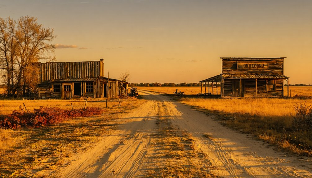
Spring and fall offer you the most comfortable conditions for exploring Autwine’s open agricultural fields and the old Santa Fe railroad bed, with mild temperatures making the hike genuinely enjoyable.
You’ll want to avoid Oklahoma’s brutal summer heat, which can push temperatures well above 100°F with little shade to protect you across the exposed terrain.
Winter visits are possible but unpredictable, as ice storms and freezing winds can make the trek along the railroad track both miserable and dangerous.
Ideal Visiting Seasons
Although Autwine sits quietly beneath Oklahoma’s open skies year-round, spring and fall offer the most rewarding visits to this agricultural ghost town. Mild temperatures make exploring the old Santa Fe railroad bed comfortable, while clear skies sharpen the landscape’s historical significance.
- Spring (March–May): Wildflowers bloom across former townsite fields, making the abandoned railroad track visually striking and ideal for hiking.
- Fall (September–November): Cooler air and harvest-season atmosphere connect you to Autwine’s agricultural roots and cultural preservation legacy.
- Summer and Winter: Extreme Oklahoma heat or occasional ice storms create challenging conditions, limiting your exploration freedom markedly.
You’ll want comfortable walking shoes, water, and a camera regardless of season. Pair your visit with nearby Ponca City to maximize your road trip experience.
Weather Considerations For Hikers
Knowing when to visit Autwine shapes the quality of your hike along that historic Santa Fe railroad bed far more than most travelers expect. Oklahoma’s summers punish unprepared hikers with brutal heat and humidity, making spring and fall your smartest windows.
April through early June delivers mild temperatures, wildflower blooms, and ideal conditions for wildlife observation along the agricultural edges bordering the old rail corridor.
September and October offer crisp air and golden light that transforms even a simple agricultural field into something worth photographing.
Winter visits remain possible during mild stretches, though muddy ground can make footing treacherous.
Whenever you go, bring water, wear layered clothing, and respect the quiet solitude this site of historical preservation deserves.
Oklahoma weather shifts fast, so check forecasts before departure.
Avoiding Harsh Oklahoma Conditions
Oklahoma’s climate doesn’t forgive poor planning, so timing your visit to Autwine makes all the difference between an enjoyable hike and a miserable slog. You’re exploring open agricultural fields and an exposed railroad bed — zero shade, zero shelter.
Avoid these conditions when chasing local legends and historical landmarks:
- Summer heat (June–August): Temperatures regularly exceed 100°F, turning a simple walk into a dangerous endurance test.
- Tornado season (April–June): Oklahoma’s severe weather peaks during spring, exposing hikers on open terrain to serious risk.
- Ice storms (December–February): Winter precipitation creates treacherous driving and walking conditions across Kay County roads.
Your ideal window is September through November — mild temperatures, clear skies, and firm ground make exploring Autwine’s remnants genuinely rewarding.
Things to Do at the Autwine Townsite
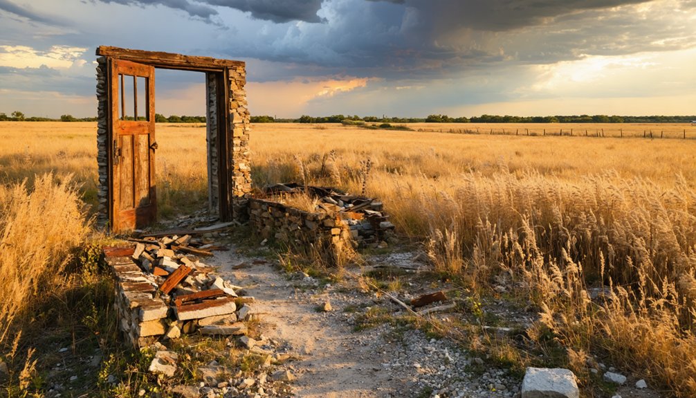
Agricultural fields now cover whatever historical artifacts might remain buried beneath the soil. You’re fundamentally walking through an open-air archive with no exhibits.
Pair your visit with a trip to nearby Ponca City, where museums and landmarks can fill in the regional context that Autwine’s silent fields cannot.
Exploring Ponca City After Your Autwine Visit
Just a short drive east of Autwine’s quiet fields, Ponca City offers the historical depth that the ghost town can’t. You’ll find tangible connections to the region’s past, including the Ponca people who gave Autwine its name.
Make the most of your visit with these three stops:
- Pioneer Woman Museum – Explore prairie-era artifacts that reflect the agricultural lifestyle once centered around towns like Autwine.
- Ponca City Cultural Center – Discover local folklore and the historical significance of the Ponca Nation, directly tied to Autwine’s naming origins.
- Marland Estate Mansion – Walk through Oklahoma’s oil-boom grandeur, a striking contrast to Autwine’s vanished storefronts.
Together, Autwine and Ponca City create a complete picture of Kay County’s layered, fascinating history.
What to Pack and Know Before Visiting Autwine
Before you head out to Autwine, know that you’re visiting a site with no amenities, no signage, and no infrastructure of any kind — just open agricultural fields and the ghost of a Santa Fe railroad bed cutting through the landscape.
No amenities, no signage, no infrastructure — just open fields and the ghost of a Santa Fe railroad bed.
Pack water, sturdy boots, sunscreen, and a printed map since cell service can be unreliable. Bring a camera to document the terrain without disturbing it — follow preservation tips like staying on the railroad bed and avoiding agricultural property without permission.
Watch for local wildlife, including hawks, deer, and ground-nesting birds common to Kay County’s open plains.
Coordinates 36.72194°N, 97.23000°W will guide you directly to the site.
Come prepared to explore independently, respect the land, and embrace the raw, unfiltered stillness of a town that time erased.
Frequently Asked Questions
Are There Any Guided Ghost Town Tours Available Near Autwine, Oklahoma?
No guided tours exist, but you’ll uncover haunted legends yourself! Abandoned buildings lie buried beneath fields, and the eerie Santa Fe railroad bed awaits your exploration — your freedom to discover Autwine’s mysteries is entirely your own.
Is the Land at Autwine Privately Owned or Publicly Accessible?
You’ll find Autwine’s land is privately owned agricultural fields, so respect landownership disputes by staying on the old Santa Fe railroad bed — your best historic preservation-friendly path to freely explore this fascinating ghost town.
Were Any Artifacts Recovered From the Buried Autwine Townsite Foundations?
No records confirm any artifact discovery from Autwine’s buried foundations. You won’t find documented excavations here, as agricultural activity continuously works the land, likely disturbing whatever remnants once lay hidden beneath these historically rich Oklahoma fields.
Did Autwine Ever Have a School or Church During Its Existence?
The available ghost town history doesn’t confirm whether Autwine community had a school or church. You’d need deeper local records to uncover those details, as documented sources focus primarily on its post office, railroad, and agricultural decline.
How Many Residents Lived in Autwine at Its Peak Population?
You won’t find exact peak population figures for Autwine, but its historical significance as a small agricultural hub suggests modest numbers. Embracing ghost town preservation means acknowledging these rural communities thrived briefly before fading into Oklahoma’s forgotten landscape.
References
- https://en.wikipedia.org/wiki/Autwine
- https://en.wikipedia.org/wiki/List_of_ghost_towns_in_Oklahoma
- https://www.youtube.com/watch?v=cbpX0RpALjM
- https://www.houseofhighways.com/usa/southwest/oklahoma/autwine
- https://www.kaypratt.com/autwine-ghost-towns-of-oklahoma/
- https://opendata.renenyffenegger.ch/Wikimedia/Wikidata/entity/Q4827208
- https://mapcarta.com/21404958