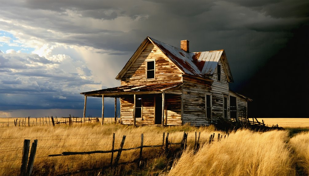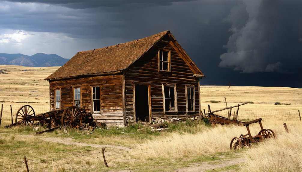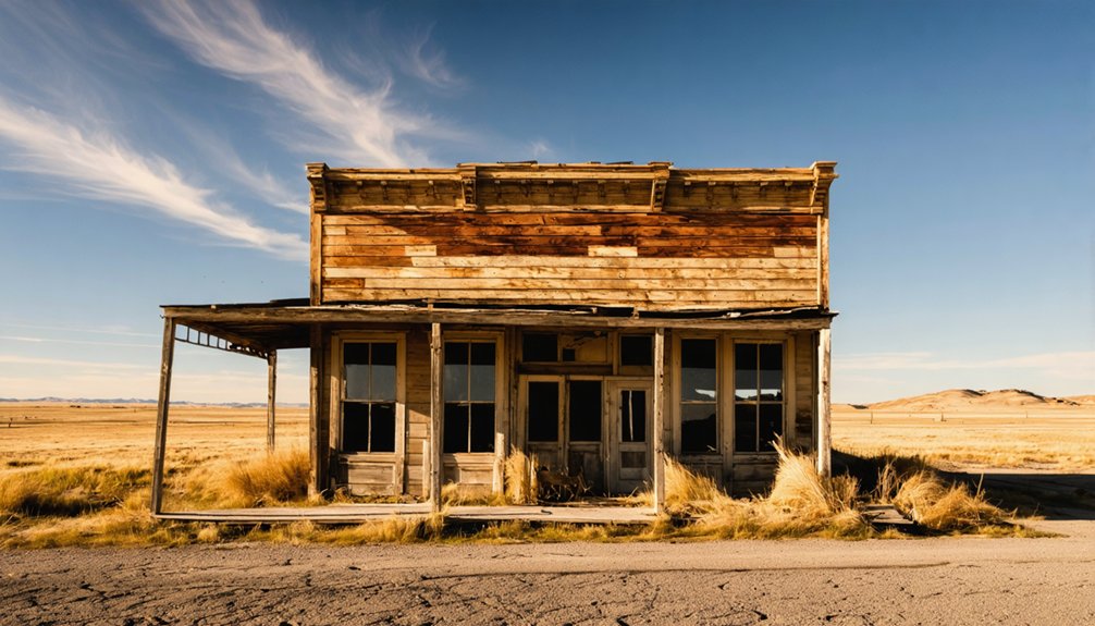
Gopher, South Dakota won’t greet you with standing structures or roadside markers—it’s a ghost town reclaimed entirely by prairie grass in Corson County’s remote backcountry. You’ll need a 4WD vehicle, GPS coordinates (45.402708°, -100.534475°), and supplies from Mobridge or McLaughlin before turning onto unpaved rural roads. Summer and fall offer the best access. Once you arrive, subtle depressions hint at what a post office and homesteaders left behind—and there’s far more to this vanished community’s story.
Key Takeaways
- Gopher Ghost Town is in Corson County, South Dakota, reachable via unpaved rural roads requiring a 4WD vehicle from nearby towns like Mobridge or McLaughlin.
- No standing structures remain; subtle ground depressions and possible buried foundations mark where the community once stood.
- Visit in summer or fall for optimal road access, favorable weather, and better visibility of terrain features.
- Bring essential supplies including navigation tools, emergency gear, ample water, and documentation equipment, as cell service is unavailable.
- Combine Gopher with nearby ghost towns to build a comprehensive road trip exploring South Dakota’s prairie settlement history.
What’s Left to See at Gopher, South Dakota?
When you arrive at the site of Gopher, South Dakota, you’ll find nothing but open land — no crumbling walls, no weathered storefronts, no rusted relics hinting at the lives once lived here. The abandoned structures that once defined this settlement have completely vanished, reclaimed by prairie grass and time.
Don’t expect historical artifacts lying exposed on the surface; whatever remained has long since disappeared beneath the soil or been hauled away entirely.
Yet there’s something powerful about standing on ground where a community once breathed. If you look carefully, subtle depressions or old foundations might reveal themselves underfoot.
Gopher demands that you engage your imagination rather than your camera. It’s raw, unfiltered history — a freedom-seeker’s reminder that even the boldest human ambitions eventually surrender to the land.
Where Exactly Is Gopher Ghost Town?
You’ll find Gopher ghost town tucked away in Corson County, South Dakota — not Walworth County, as some sources mistakenly claim — at GPS coordinates 45.402708 latitude and -100.534475 longitude.
It sits at an elevation of 1,791 feet above the rolling prairie.
Plug those coordinates in before you leave, because you’ll need a 4WD vehicle to navigate the rough rural roads leading to the site.
The nearest zip code region is 57601, so use that as your anchor point when planning your route through the sparse South Dakota backcountry.
Corson County Exact Location
Tucked into the rugged expanse of Corson County, South Dakota, Gopher ghost town sits at latitude 45.402708 and longitude -100.534475, roughly 1,791 feet above sea level. Some databases mistakenly place it in Walworth County, but don’t let that error send you down the wrong road.
Corson County’s sweeping plains define this forgotten settlement, where the cultural significance of a vanished community lingers despite zero standing structures remaining. You won’t find historical artifacts scattered across the surface, but beneath the grasses, old foundations may still hide.
This remote coordinates pinpoint a place that once pulsed with pioneer ambition. Knowing exactly where you’re headed matters out here, where rural South Dakota roads demand both a 4WD vehicle and a spirit ready for genuine discovery.
GPS Coordinates And Elevation
Pinpointing Gopher ghost town means locking in two precise coordinates: latitude 45.402708 and longitude -100.534475, placing you deep within Corson County’s windswept plains at an elevation of 1,791 feet above sea level. Save these coordinates before you leave civilization behind, because cell service won’t save you out here.
Standing at nearly 1,800 feet, you’ll scan terrain where land restoration has quietly erased every structure that once defined this community. Nature reclaimed what settlers abandoned, leaving no historical artifacts visible above ground.
What you’re really *steering* toward is a feeling, the raw freedom of standing precisely where a town lived and died on South Dakota’s unforgiving grasslands. Those GPS numbers aren’t just data points; they’re your personal invitation to witness history’s honest silence firsthand.
Nearest Towns And Access
Those GPS coordinates mean nothing without knowing how to actually reach them, and getting to Gopher demands respect for South Dakota’s rural distances and rugged roads. You’ll need a 4WD vehicle — the terrain doesn’t negotiate.
Nearby Mobridge serves as your best launching point, sitting within Corson County‘s sprawling landscape where paved roads eventually surrender to raw earth.
That shift from highway to rough trail mirrors Gopher’s own historical significance: a place civilization briefly claimed, then abandoned. You’re not just driving toward a dot on a map; you’re retracing a forgotten community’s final miles.
Preservation challenges become obvious once you’re out here — no markers guide you, no infrastructure welcomes you.
Summer and fall offer the safest window. Come prepared, or don’t come at all.
Do You Really Need a 4WD to Get There?
When you’re chasing a ghost town with nothing left standing, the road itself becomes part of the story — and Gopher doesn’t make it easy. Yes, you really do need a 4WD vehicle.
The unpaved rural roads cutting through Corson County can turn treacherous, especially after rain or early snowfall. Don’t test your luck with a sedan.
The historical significance of Gopher lies buried beneath overgrown fields where architectural remains have long since vanished. Getting there demands the right machine.
Summer and fall offer your best window — frozen winters and muddy springs will stop you cold before you reach the coordinates.
Treat the drive as part of the experience. Out here, reaching the destination is the achievement. The land doesn’t reward the unprepared.
The Best Time of Year to Visit Gopher
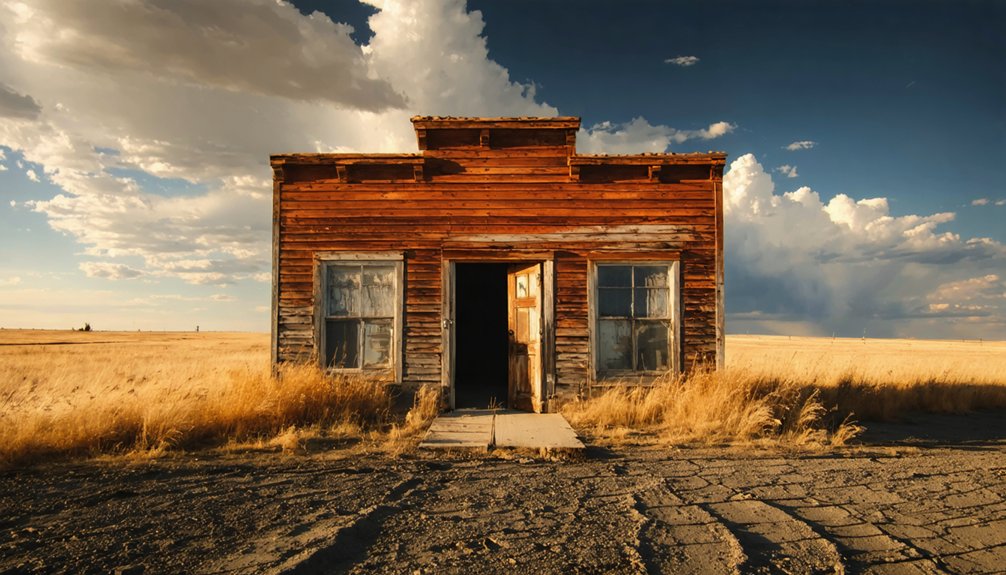
Timing your visit to Gopher matters more than you’d expect for a place with nothing left to see. The landscape itself becomes the historical artifact, and reading it clearly depends on when you arrive.
Timing your visit to Gopher matters — the landscape itself is the artifact, and when you arrive determines what you’ll read.
- Summer opens the roads and lets you survey the ground for foundations that preservation efforts never prioritized protecting.
- Fall delivers cooler temperatures and lower vegetation, making subtle terrain features easier to spot beneath the grass.
- Winter and spring close access entirely — snow buries the site and mud defeats even capable 4WD rigs.
You’re chasing a story written in empty fields, so give yourself the best conditions possible. Choose summer or fall, load up, and let the open road deliver you somewhere history quietly erased.
How to Reach Gopher From the Nearest South Dakota Towns
Gopher sits in Corson County near the 57601 area, so you’ll want to plot your route from nearby towns like Mobridge or McLaughlin, following rural South Dakota highways that cut through open prairie.
Once you leave the pavement behind, you’re steering unpaved roads that demand a 4WD vehicle, not a suggestion but a hard requirement.
Road conditions can shift fast in this region, so check weather and road reports before you go, since what looks passable on a map can swallow a standard car whole.
Nearest Towns To Gopher
Reaching the ghost town of Gopher means traversing the wide-open rural landscape of Corson County, South Dakota, where paved roads eventually give way to the kind of rough, unpaved tracks that demand a 4WD vehicle. Land restoration has reclaimed nearly everything here — no historical artifacts remain standing, just open sky and quiet earth.
The nearest launch points for your journey include:
- Mobridge, SD – roughly 40 miles south, your last reliable fuel and supply stop
- McLaughlin, SD – a close western anchor town with basic amenities
- Lemmon, SD – northwest of the site, offering lodging before you head out
Plan your approach carefully. These towns are your lifelines before the pavement ends and the real adventure begins.
Best Routes To Take
With your supply towns locked in, the next step is mapping the actual roads that’ll carry you from civilization’s edge to the quiet fields where Gopher once stood.
From Mobridge, head north on US-12, then navigate the rural county roads cutting through Corson County’s open grasslands.
McLaughlin offers a more direct northern approach via SD-63.
Either way, you’ll eventually surrender the pavement for gravel and dirt tracks demanding 4WD capability.
These aren’t roads built for casual Sunday drives — they’re working ranch corridors where local legends still circulate about homesteaders who once moved supplies across this same broken terrain.
Keep your coordinates locked at 45.402708, -100.534475, since no signage marks where historical artifacts and forgotten foundations quietly wait beneath South Dakota’s wide, unforgiving sky.
Road Conditions And Access
Once the pavement ends, the real journey to Gopher begins — and you’ll want a 4WD vehicle locked in before you leave either Mobridge to the south or McLaughlin to the north. These rural Corson County roads shift dramatically with seasons, so time your run for summer or fall.
Before you roll out, remember:
- 4WD isn’t optional — soft shoulders and unpaved stretches will strand a standard vehicle fast.
- Local legends suggest longtime ranchers nearby can point you toward subtle ground depressions where historical artifacts or old footings still hide beneath the grass.
- Seasonal timing matters — winter snow closes access completely.
You’re chasing a place that erased itself. That freedom to explore what’s fundamentally invisible history makes reaching Gopher entirely worth the rough ride.
The Post Office That Started Gopher: and the Closure That Ended It
By 1917, the post office had officially opened.
By 1923, it had moved.
By 1942, it was gone entirely.
You can trace Gopher’s heartbeat through those three dates alone.
No historical artifacts survive above ground today, and local legends have largely faded with the last residents.
But standing at those coordinates, you’re walking the same ground where mail once connected isolated homesteaders to the outside world.
That connection mattered — until it didn’t.
Why Gopher Emptied Out After 1942
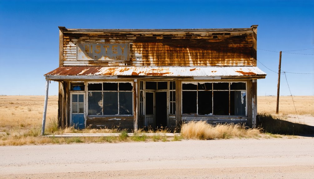
The post office closing in 1942 didn’t just cut mail service — it severed the last institutional thread holding Gopher together. When economic decline strips a settlement of its purpose, people don’t linger. Gopher’s historical population simply scattered, chasing opportunity elsewhere.
Three forces erased Gopher from the map:
- Railroad indifference — no rail connection meant no reliable commerce pipeline
- Agricultural hardship — harsh South Dakota conditions punished settlers who stayed
- Post office closure — without mail service, community identity collapsed entirely
You’re now free to wander a landscape that swallowed an entire town whole. No walls stand. No foundations announce themselves easily. Nature reclaimed every board and brick. Gopher didn’t fade — it vanished, leaving only open sky and your imagination to reconstruct what once existed here.
What to Pack for a Ghost Town Site With No Remaining Structures
Since Gopher’s site offers no standing structures to shelter you or signal your position, you’ll want to pack smart before heading into Corson County’s remote terrain — bring a 4WD-ready emergency kit, sturdy boots, and plenty of water alongside a compass and paper maps.
Carry documentation tools like a camera, GPS unit, and a field notebook to capture any ground-level remnants such as foundations or footings that might still whisper the town’s 1910 origins.
Don’t underestimate the isolation: a first-aid kit, satellite communicator, and weather-appropriate layers are non-negotiable when you’re tracing the ghost of a settlement that vanished without a trace.
Essential Gear For Exploration
Packing smart makes the difference between a rewarding visit and a frustrating one, especially when you’re heading to a site like Gopher where nothing stands above ground. You’re chasing history across open prairie, so gear up accordingly.
- Metal detector and hand trowel – Uncover historical artifacts hiding beneath decades of South Dakota soil where foundations once anchored an entire community.
- Camera with wide-angle and macro lenses – These photography tips matter: wide shots capture the haunting emptiness while macro lenses reveal subtle ground disturbances telling Gopher’s forgotten story.
- Detailed topographic map and compass – GPS fails in remote Corson County; analog navigation keeps you oriented across unmarked terrain.
Pack light, move freely, and let curiosity drive every step across this vanished townsite.
Documentation Tools To Bring
When nothing stands above ground, your documentation tools become the most important items in your pack. Gopher left no walls standing, no rooftops catching light — just open prairie where lives once unfolded. That’s precisely why historical preservation starts with you.
Bring a quality camera and practice low-angle photography techniques to capture subtle ground depressions or foundation outlines that overhead shots miss. A GPS unit lets you log exact coordinates for any feature you discover. Pack a notebook for sketching layouts and recording observations that photos can’t fully convey.
Consider bringing a drone if regulations permit — aerial angles reveal field patterns invisible at ground level. You’re not just visiting a vanished place; you’re actively documenting it. Every image and note you take keeps Gopher’s fragile story alive.
Safety Supplies For Remote Sites
Reaching a remote, unpopulated site like Gopher means you’re your own rescue team — so pack accordingly. No structures remain here, but the spirit of historical preservation and responsible urban exploration demands you arrive prepared, not reckless.
- First aid kit and emergency blanket — Corson County’s rural roads offer zero nearby medical help, and temperatures shift fast.
- Water and high-calorie food — You’re charting 4WD terrain miles from civilization; dehydration ends adventures quickly.
- Navigation tools (paper maps plus GPS) — Cell service disappears in this part of South Dakota, and getting lost here means real consequences.
Gopher’s silence is its own reward — but only if you return home to tell the story.
Nearby Ghost Towns Worth Combining Into One Corson County Trip
Corson County rewards the determined explorer, and since you’re already traversing rough 4WD roads to reach Gopher, you’d be leaving opportunity on the table by stopping there alone. The surrounding region harbors several forgotten settlements where historical artifacts occasionally surface — rusted equipment, crumbled foundations, fence lines running nowhere.
Preservation challenges are real here; harsh winters and indifferent time have erased much, but enough ghost town clusters exist to justify a multi-stop itinerary. Cross-reference South Dakota Historical Society records before departing, since trail conditions shift seasonally and some sites sit on private land requiring permission.
String together three or four locations across a single day, and you’ll piece together a vivid, ground-level picture of how quickly ambition bloomed and withered across this unforgiving northern plains landscape.
Why Gopher Followed the Same Path as Hundreds of Prairie Settlements
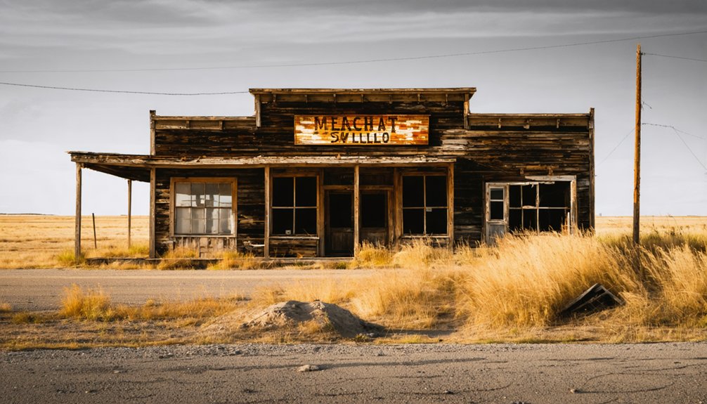
Gopher’s story didn’t unfold in isolation — it followed a script written across hundreds of prairie settlements that rose and collapsed within a single generation. When the economic driver vanished, so did the people, the buildings, and eventually every trace of daily life.
Gopher’s collapse wasn’t unique — hundreds of prairie towns vanished just as completely, following the same brutal, inevitable script.
Three forces sealed Gopher’s fate, just like countless others:
- Post office closure — once mail stopped flowing in 1942, community identity dissolved completely
- No historical artifacts remain — without objects anchoring memory, places vanish faster from cultural consciousness
- Zero preservation efforts — nobody intervened, so nature reclaimed everything methodically
You’re standing at a location where ambition once burned bright. That erasure isn’t tragic — it’s honest. The prairie doesn’t lie about what survives when human determination meets economic reality.
Frequently Asked Questions
Is Gopher, South Dakota Listed Correctly in All Online Databases?
No, you’ll find errors in ghost town history databases—some incorrectly place Gopher in Walworth County. It’s actually in Corson County. These inaccuracies hinder preservation efforts, so verify your sources before adventuring out to explore its vanished past.
What Time Zone Does the Gopher Ghost Town Location Observe?
You’ll observe Central Time (GMT -06:00) with daylight saving time when you explore this ghost town history. Chase tourist attractions on your own schedule — freedom awaits you across Corson County’s wide-open, untamed South Dakota landscape!
Were Gopher’s Original Buildings Demolished or Lost to Natural Processes?
Since 1910’s first structure, you can’t find a single abandoned structure standing — natural erosion and time claimed everything. Gopher’s buildings vanished completely, leaving only buried foundations beneath open, free South Dakota sky.
What Area Code Covers Corson County Where Gopher Is Located?
You’ll dial 605 to reach Corson County, where Gopher’s historical architecture has vanished into the plains. Chase local legends through this free, wild landscape — that area code connects you to South Dakota’s most hauntingly adventurous ghost town territory.
Did Gopher Share Characteristics With Black Hills Gold Rush Towns?
Gopher’s ghost town history mirrors black hills gold rush towns — you’ll find it shared that same boom-and-bust cycle, where economic dreams sparked rapid settlement, then vanished just as fast, leaving nothing but open, untamed land behind.
References
- https://www.ghosttowns.com/states/sd/gorpher.html
- https://places.us.com/south-dakota/gopher
- https://kids.kiddle.co/List_of_ghost_towns_in_South_Dakota
- https://www.sdhspress.com/journal/south-dakota-history-30-1/the-discontented-gopher
- https://www.sdhspress.com/journal/south-dakota-history-2-2/some-black-hills-ghost-towns-and-their-origins/vol-02-no-2-some-black-hills-ghost-towns-and-their-origins.pdf