You’ll find Boyd, Oregon about 10 miles south of The Dalles on U.S. 197 — no formal signage, just open wheat country and a weathered grain elevator marking what’s left. This quiet ghost town once supported 200 residents, built around flour mills, freight wagons, and gold rush traffic. A 1923 highway reroute started its slow erasure. Pack a lunch, keep your tank full, and everything Boyd has left to tell you is waiting just ahead.
Key Takeaways
- Boyd is located 9–12 miles south of The Dalles on U.S. Route 197, with no formal signage marking the ghost town.
- Key landmarks include a weathered wooden grain elevator and an 1883 granary still standing above Fifteenmile Creek.
- The town declined after a 1923 highway reroute, railroad abandonment in the 1930s, and a school closure in 1938.
- The route naturally follows U.S. 197, linking multiple historical stops in one corridor without backtracking or detours.
- Pack a lunch, keep your tank full, and allow a half to full day for this immersive historical road trip.
What’s Left to See at Boyd, Oregon Today
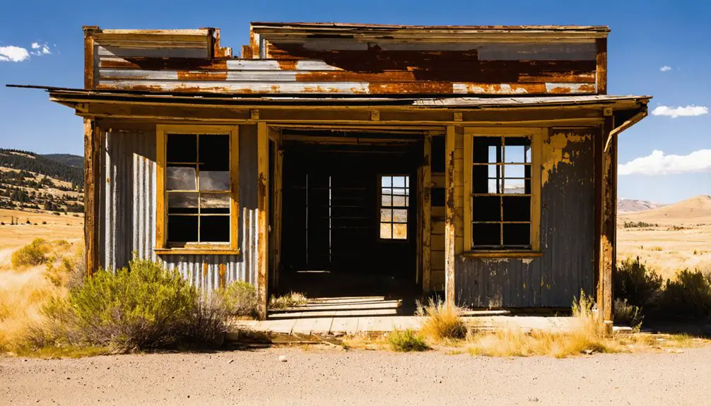
Although Boyd once supported up to 200 residents, what you’ll find there today is a quiet scatter of ruins slowly being reclaimed by farmland. A derelict wooden grain elevator stands as the most striking landmark, visible from U.S. Route 197 without even pulling off the road.
The old wooden granary from 1883 still holds its ground above Fifteenmile Creek, connecting you directly to Boyd’s milling past.
These historical artifacts aren’t behind velvet ropes — they’re raw, open, and honest. Local legends tied to the freight era and gold rush traffic add texture to what might otherwise look like simple decay.
Where the church and school once stood, cherry orchards now grow. Boyd rewards curious travelers who appreciate history worn openly on the landscape.
How Boyd Grew Around Wheat, Wagons, and a Flour Mill
When you picture Boyd’s early days, think wheat fields, heavy wagons, and a busy flour mill working together to build a functioning community from the ground up.
Settler Daniel Bolton had already claimed land along Fifteenmile Creek by 1854, and the fertile soil made wheat farming the backbone of the local economy.
T.P. Boyd and his sons eventually purchased the flour mill operating in the area, and that single business transaction left its mark permanently — the town took their name.
Wheat Fields and Mills
Before Boyd had a name, it had wheat. As early as 1854, settler Daniel Bolton had already staked a claim along Fifteenmile Creek, turning the land into productive wheat farming territory.
The fertile soil and steady freight traffic created the perfect conditions for a mill to follow.
T.P. Boyd and his sons eventually purchased that flour mill, and in doing so, gave the town its name. The operation anchored the community, drawing businesses, residents, and wagon traffic that kept the local economy moving.
Today, you won’t find the mill standing, but the mill ruins and surrounding wheat fields still tell the story. The land hasn’t forgotten what it once supported, and standing there, neither will you.
Wagons Shaped Early Boyd
Long before Boyd had a post office or a platted street, it had wagon wheels cutting deep into the dirt along Fifteenmile Creek. Historic wagon routes funneling miners toward John Day and Canyon City after the 1861 and 1862 gold strikes turned this corridor into a lifeline.
You’re looking at early settlement patterns built entirely around movement — blacksmiths, wheelwrights, and livery stables sprouted here because travelers needed them.
Freight traffic hit staggering numbers: up to 150 miners, 200 pack animals, and a dozen wagons rolling through daily.
Daniel Bolton had already staked a wheat claim by 1854, and when T.P. Boyd’s family purchased the local flour mill, the town finally had both a name and an economy worth building around.
How Boyd Lost Its Railroad, Its School, and Its Post Office
The same highway that killed Boyd’s foot traffic also set off a chain reaction that stripped the town of its remaining lifelines one by one. When the 1923 Dalles–California Highway rerouted travelers away from Boyd, businesses collapsed and residents followed.
Any hope of historic preservation or community rebuilding faded quickly as economic gravity pulled everything toward Dufur and The Dalles.
The railroad held on briefly, but the Great Southern line through Boyd was abandoned in the 1930s, silencing the freight and passenger runs that had once kept the town relevant.
The school closed in 1938, erasing the last gathering point for families.
How to Reach Boyd From The Dalles on U.S. 197
To reach Boyd, start in The Dalles and head south on U.S. Route 197, the same highway that ironically helped drain the town of its significance decades ago.
You’ll drive roughly 9.5 to 12 miles before the site comes into view, its weathered grain elevator and scattered structures rising above the surrounding wheat fields.
Keep your eyes on the east side of the road, since Boyd announces itself visually rather than with any formal signage.
Starting Point In The Dalles
Before hitting the open road, you’ll want to start in The Dalles, the historic Columbia River city that puts you within striking distance of Boyd. This river town carries its own local legends, from Lewis and Clark’s passage to the westward wagon migrations that shaped the entire region.
From downtown The Dalles, head south on U.S. 197, and you’ll cover roughly 9 to 12 miles before Boyd’s grain elevator and scattered ruins come into view.
The drive itself sets the mood, rolling through open wheat country that tells the same agricultural story as Boyd’s rise and fall.
While preservation efforts in The Dalles protect its historic core, Boyd tells the rawer version of that same history, abandoned and quietly reclaimed by the land.
Driving South On U.S. 197
Once you’re ready to leave The Dalles behind, heading south on U.S. 197 is straightforward — just point your vehicle toward open wheat country and let the road do the work. You’ll cover roughly 9 to 12 miles before Boyd appears on the east side of the highway, its surviving historical architecture rising quietly against the rolling landscape.
The drive itself sets the mood. Wheat fields stretch in every direction, and the isolation reminds you why local legends of bustling freight wagons and gold rush travelers feel so distant now.
Keep your eyes open as you approach — the weathered grain elevator and scattered outbuildings are visible from the road. You won’t need to hunt for a parking lot; Boyd announces itself on its own terms.
Spotting Boyd From The Road
As you roll south on U.S. 197, Boyd appears on the east side of the highway roughly 9 to 12 miles from The Dalles — no turnoff required to spot it. The derelict grain elevator rises above the surrounding wheat fields, making it your clearest landmark.
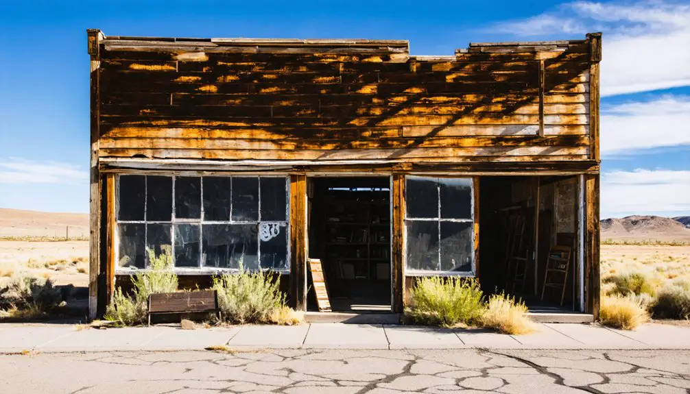
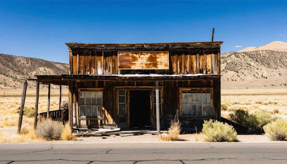
Weathered outbuildings and abandoned homes reinforce the local architecture that defines Boyd’s ghost-town character. You won’t find bold historic signage marking the site, so stay alert — it’s easy to pass without recognizing what you’re seeing.
The creek-side setting near Fifteenmile Creek adds context, connecting the visible ruins to Boyd’s milling and freight history. Pull over safely along the shoulder, take in the landscape, and let the quiet agricultural surroundings tell the story of a town that time gradually absorbed.
What You’ll Find on the Ground When You Visit Boyd
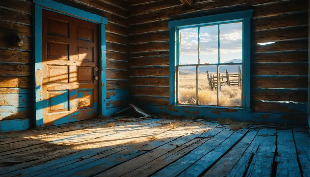
Though Boyd won’t greet you with a preserved main street or interpretive signs, what remains tells a quiet but vivid story of the town’s past. You’ll find abandoned homes, weathered outbuildings, and a derelict wooden grain elevator that anchor the site’s historic architecture to its milling and freight-hauling roots.
No preserved main street, no interpretive signs — just ruins that speak plainly to anyone willing to listen.
The 1883 wooden granary still stands above Fifteenmile Creek, offering one of the most tangible connections to Boyd’s peak years. Where the church and school once stood, cherry orchards have taken over.
The surrounding wheat fields shape the landscape just as they did for early settlers. Local wildlife moves through the open terrain, adding life to the stillness.
It’s a roadside stop best experienced slowly, with your eyes open to what the ruins suggest rather than spell out.
Other Ghost Towns Near Boyd on the U.S. 197 Corridor
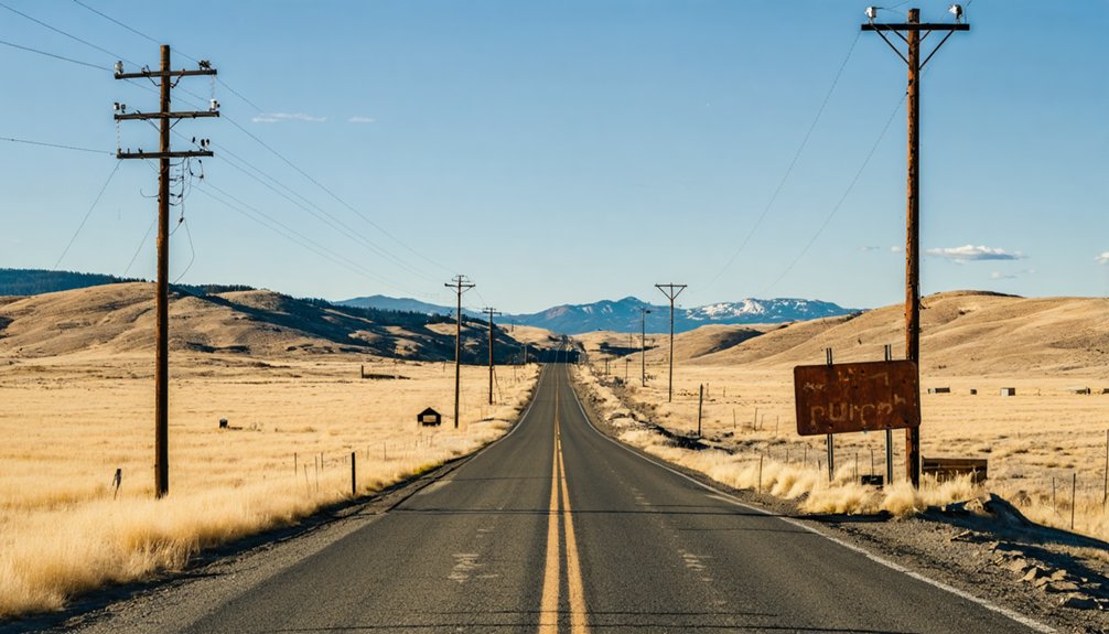
Boyd makes a natural launching point for a wider ghost-town sweep along U.S. 197, and two nearby stops—Dufur and Friend—fit easily into the same day’s drive.
Dufur sits just south and retains more visible local architecture than Boyd, giving you a clearer picture of how early Wasco County towns were built and organized.
Friend, deeper into the corridor, reflects the same agricultural history that shaped Boyd—wheat farming, freight hauling, and eventual decline once transportation patterns shifted.
Together, the three stops trace a connected story across the same landscape. You won’t need to backtrack or detour markedly, since the route runs naturally along U.S. 197.
Pack a lunch, keep your tank full, and you’ve got a focused half-day or full-day drive through Oregon’s high desert past.
Frequently Asked Questions
Is Boyd, Oregon Officially Recognized as a Ghost Town?
Boyd doesn’t carry an *official* ghost town designation, but you’ll find its historical preservation screams abandonment louder than any title could. Local legends and crumbling ruins make it undeniably, spectacularly ghostly in every sense that matters.
Can You Legally Access the Boyd Town Site on Foot?
You’ll want to check public access regulations before visiting, as the Boyd town site’s been converted to private farmland. Historical preservation isn’t guaranteed here, so respect boundaries while enjoying the visible ruins from U.S. 197.
What County Is Boyd, Oregon Located In?
Imagine chasing local legends through wheat fields — you’ll find Boyd, Oregon nestled in Wasco County. Its historical landmarks, from grain elevators to abandoned homes, are waiting for free spirits ready to explore Oregon’s forgotten past.
When Did Boyd, Oregon Officially Disincorporate as a Town?
Boyd officially disincorporated in 1955, and you’ll find its historical preservation tells local legends of a once-thriving wheat town. Today, you’re exploring repurposed farmland where freedom-seekers once built something remarkable along U.S. 197.
Are There Any Guided Tours Available at Boyd, Oregon?
Among haunted legends and abandoned structures, you’ll find no guided tours waiting — Boyd’s silent ruins are yours to explore freely, standing alone along U.S. 197, where wheat fields and weathered remnants tell their own eerie story.
References
- https://traveloregon.com/things-to-do/culture-history/ghost-towns/oregon-ghost-towns-boyd-dufur-and-friend/
- https://en.wikipedia.org/wiki/Boyd
- https://traveloregon.com/things-to-do/culture-history/ghost-towns/boyd/
- https://www.youtube.com/watch?v=YN_v3AsKbI0
- https://crookcountyhistorycenter.org/2025/04/boom-bust-and-silence-the-story-of-boyd-oregon/
- https://en.wikipedia.org/wiki/List_of_ghost_towns_in_Oregon
- https://sites.google.com/view/recreatingdalles-californiahwy/the-dalles-to-dufur-us-197/boyd-loop-junction-starveout-creek-route-4/boyd-oregon-boyd-loop-road