If you’re planning a ghost town road trip, add Humphreys, Oklahoma, to your list. You’ll find this forgotten railroad settlement about 7.5 miles southeast of Altus in Jackson County, where an abandoned 1961 elementary school stands as the town’s last real landmark. Pack water, wear sturdy shoes, and download offline maps before heading out — cell service is spotty. Stick around, and you’ll uncover the full story behind Humphreys’ quiet collapse and what surrounds it.
Key Takeaways
- Humphreys, Oklahoma, lies 7.5 miles southeast of Altus, making Altus the ideal base for fuel, food, and lodging.
- The abandoned elementary school, closed in 1961, is the primary remaining landmark worth visiting in Humphreys.
- Combine Humphreys with nearby ghost towns like Headrick, Elmer, and Olustee for a fuller Jackson County itinerary.
- Download offline maps before traveling, as cell service is limited throughout rural Jackson County roads.
- Pack water, snacks, sturdy footwear, a camera, and a notebook to document remnants and local stories.
What Is Humphreys, Oklahoma?
Tucked into the southeastern corner of Jackson County, Oklahoma, Humphreys is an unincorporated community sitting roughly 7.5 miles southeast of Altus and 6 miles northeast of Tipton. Founded in 1909 and named after local rancher James Humphreys, this quiet settlement once hummed with activity along the old Missouri–Kansas–Texas Railroad line.
Today, you’ll find a community that exists more in memory than in infrastructure. Its historic architecture centers on a former elementary school, one of the last tangible anchors of civic life before the town faded.
Local legends kept by longtime residents fill the gaps where buildings once stood. If you’re drawn to places where history lingers just beneath the surface, Humphreys offers exactly that kind of raw, unpolished story waiting for you to discover it.
How Humphreys Lost Its Town Status
Like many Oklahoma communities, Humphreys didn’t collapse overnight—it faded through a slow unraveling of the economic and civic threads that once held it together. Railroad dependence, shifting economic patterns, and rural depopulation each chipped away at what James Humphreys’ namesake town had built since 1909.
You can trace the clearest turning point to 1961, when the elementary school closed. In small Oklahoma towns, losing your school isn’t just an inconvenience—it’s a signal that the community can no longer sustain itself.
The teacherages that once stood across the street have since been razed, leaving urban decay where civic life once thrived.
Historical preservation efforts now center on what little remains, particularly the former school building. Humphreys persists in name, but most of its infrastructure has quietly disappeared.
What’s Left in Humphreys Today: The School and the Silence
When you pull up to what’s left of Humphreys, the former elementary school stands as the town’s most tangible survivor, anchoring a landscape that’s otherwise gone quiet.
The school closed in 1961, and the three teacherages that once lined the street across from it have since been torn down, leaving only absence where community life once gathered.
You’ll notice quickly that the silence here isn’t emptiness — it’s the particular stillness of a place that once held something and no longer does.
The Former School Building
What remains of Humphreys today centers on one quiet landmark: the former elementary school. It closed in 1961, a casualty of rural consolidation and fading population. When you stand near it, you’re standing inside decades of community memories — children arriving on dusty roads, teachers living in the three teacherages that once lined the street across the way. Those buildings are gone now, razed without ceremony.
The school itself survives as the town’s most tangible connection to its past. Local legends and oral histories fill the gaps where records fall short.
If you’re road-tripping through Oklahoma’s ghost towns, this site rewards the detour. It’s not dramatic, but it’s honest — a single structure holding the weight of everything Humphreys once was.
Silence After Civic Loss
Civic loss doesn’t announce itself — it simply accumulates until a place like Humphreys is left holding its own silence. When the school closed in 1961, it took the community’s last real anchor with it.
The teacherages that once stood across the street are gone, razed like so many other structures swallowed by urban decay and indifference. Population decline didn’t happen overnight here — it crept in slowly, following railroad shifts and economic exhaustion.
What you’ll find today is a landscape that speaks through absence. The former school building still stands, but the civic life it once supported has dissolved completely.
When you visit, you’re not just seeing a forgotten town — you’re reading the quiet, honest story of rural Oklahoma’s transformation.
Is Humphreys Worth the Drive From Altus?
If you’re already passing through Altus, the short 7.5-mile drive southeast to Humphreys is an easy detour worth making. You won’t find urban development or a bustling downtown, but that’s exactly the point.
Humphreys offers something rarer: quiet, open land where local legends and community memory outlasted the buildings themselves. The former school site stands as the clearest anchor for your visit, giving you something tangible to find and photograph.
The old Missouri–Kansas–Texas Railroad corridor adds another layer for travelers drawn to transportation history. You’re fundamentally reading a landscape rather than touring a destination.
If Oklahoma ghost towns interest you, Humphreys fits naturally into a broader regional itinerary without demanding much time. It’s a small stop with a surprisingly complete story behind it.
How to Reach Humphreys, Oklahoma
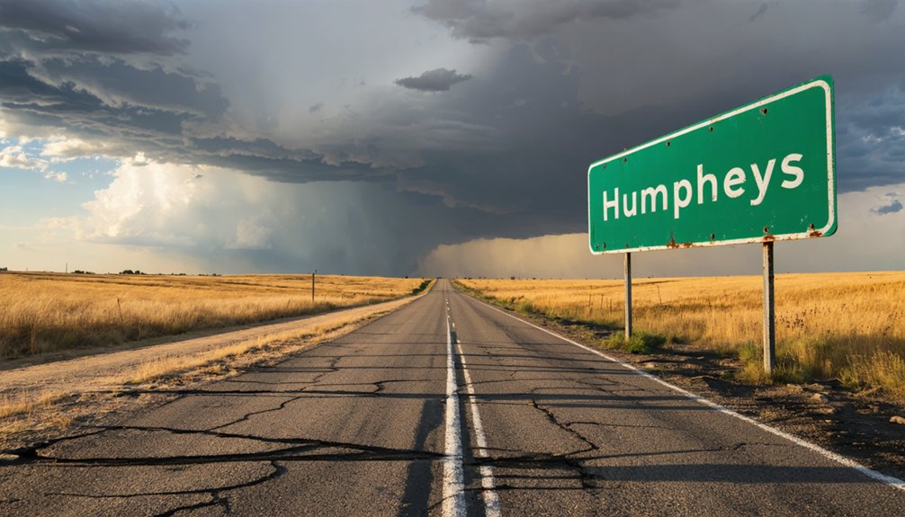
Reaching Humphreys is straightforward once you orient yourself around Altus, the nearest reference town in Jackson County. Head southeast roughly 7.5 miles, and you’ll land in this quietly fading community where local legends and hidden landmarks reward curious travelers.
Orient yourself in Altus, drive southeast roughly 7.5 miles, and Humphreys quietly reveals itself.
Follow these four steps to get there efficiently:
- Start in Altus – Use it as your fuel-up and planning base.
- Head southeast – Drive approximately 7.5 miles toward southeastern Jackson County.
- Watch for the railroad line – The old Missouri–Kansas–Texas Railroad corridor confirms you’re close.
- Locate the former school building – It’s your primary landmark once you arrive.
You won’t need elaborate navigation. Just point your vehicle southeast from Altus and let the open Oklahoma road do the rest.
Three Oklahoma Ghost Towns to Pair With Humphreys
Oklahoma’s ghost-town landscape stretches well beyond Humphreys, and pairing your visit with a few nearby forgotten communities turns a short detour into a full regional itinerary worth planning around.
Consider adding Headrick, roughly 20 miles north, where collapsed storefronts still invite community storytelling from longtime locals.
Elmer, near the Texas border, rewards travelers interested in historic preservation, with remnants that quietly document southwestern Oklahoma’s railroad-era ambitions.
Olustee, another Jackson County community, offers a deeper look at how regional economic shifts dismantled once-promising towns.
Each stop adds texture to what you’re already discovering in Humphreys.
Together, these communities paint a vivid picture of rural depopulation, railroad dependence, and resilience.
Map your route from Altus, keep your tank full, and let Oklahoma’s forgotten places tell their own story.
Practical Tips for Visiting Humphreys and Similar Railroad Communities
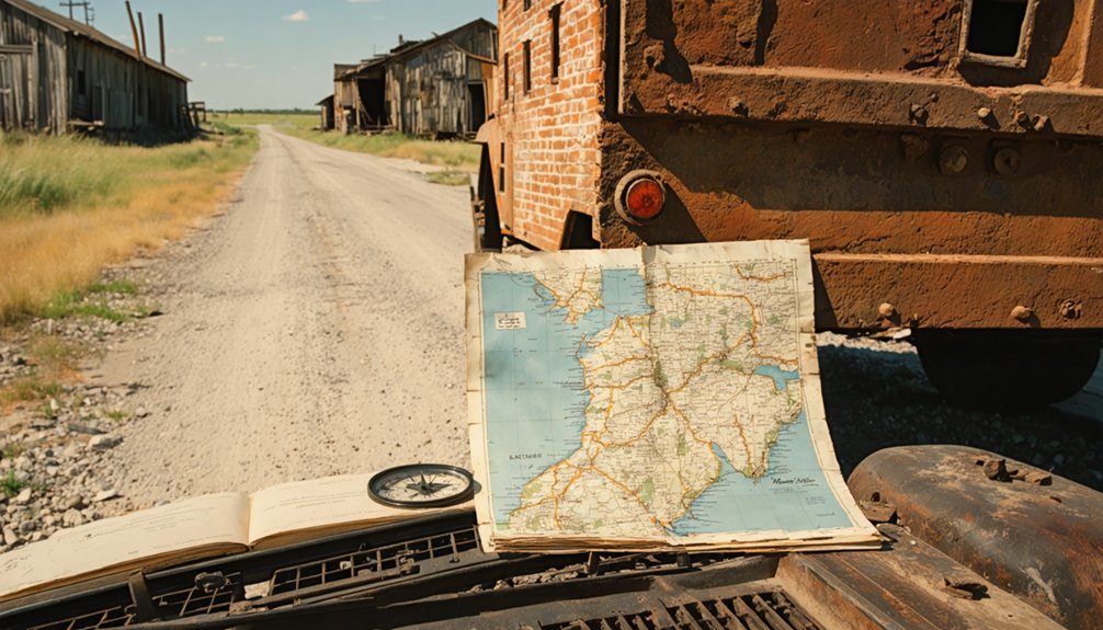
Start your trip in Altus, the closest town with reliable fuel, food, and lodging before you head southeast into rural Jackson County.
As you drive out, watch for traces of the old Missouri–Kansas–Texas Railroad corridor, which shaped Humphreys’ founding and ultimately contributed to its decline.
Pack water, sturdy shoes, and a paper map, since cell service gets spotty fast once you leave the main roads behind.
Starting From Altus
If you’re planning a visit to Humphreys, Altus is your best jumping-off point, sitting roughly 7.5 miles northwest of this quiet unincorporated community in Jackson County. From Altus, you’ll have everything you need before venturing into southeastern Jackson County‘s open rural landscape.
Community memory lives strongest when you arrive prepared and curious. Here’s how to make the most of your departure:
- Fill your tank in Altus — fuel options disappear fast heading southeast.
- Download offline maps — cell coverage thins quickly in rural Jackson County.
- Research the former school site — it anchors historical preservation efforts in Humphreys.
- Note Tipton’s location — sitting six miles southwest, it makes a worthwhile secondary stop on your route.
Travel light, stay curious, and let the road reveal the rest.
Railroad History On Route
Tracing the old Missouri–Kansas–Texas Railroad corridor through this part of Oklahoma adds a rewarding layer to your Humphreys visit. The Katy line once drove settlement across southeastern Jackson County, pulling towns like Humphreys into existence almost overnight.
Today, railroad relics scattered along the route tell a quieter story of economic withdrawal and urban decay — weathered infrastructure that reveals how completely a community’s fate tied to its rail connection. As you drive out from Altus, watch for grade remnants and old right-of-way lines cutting through the landscape.
These physical traces help you read the land like a map of lost ambition. Connecting railroad history to Humphreys’ founding in 1909 gives your road trip genuine context, transforming a simple rural detour into a sharper, more meaningful exploration of Oklahoma’s past.
Packing For Rural Exploration
Knowing what’s out there along the old Katy corridor sharpens your appreciation for Humphreys — but getting there comfortably takes a little preparation. Southeast Jackson County offers no convenience stops, so pack smart before leaving Altus.
- Water and snacks — rural Oklahoma roads stretch farther than maps suggest.
- A camera — document the former school site and support local preservation efforts through visual storytelling.
- A notebook — local legends surface when you talk to longtime residents; record what you hear.
- Sturdy footwear — uneven ground surrounds abandoned sites where teacherages once stood.
Cell service gets spotty fast, so download offline maps before you leave. You’re chasing history on your own terms — arrive prepared and you’ll leave with something worth remembering.
Frequently Asked Questions
Who Was James Humphreys, the Rancher the Town Was Named After?
You’ll find that James Humphreys was a local rancher deeply rooted in historic ranching and Oklahoma pioneers culture — and the town of Humphreys, founded in 1909, proudly carries his legendary name as its lasting tribute.
What Did the Three Teacherages in Humphreys Look Like Before Demolition?
Unfortunately, no detailed records describe the historic architecture or teacherage design of Humphreys’ three structures. You won’t find surviving photos or accounts capturing their exact appearance before they were razed, leaving their look lost to time.
Did Louise Snodgrass’s Role as County Clerk Connect to Humphreys’ Decline?
No direct link connects Louise Snodgrass’s local government role to Humphreys’ decline, but her historical significance reminds you that real people shaped this fading community’s story, giving Humphreys a human heartbeat beyond its crumbling infrastructure.
Were There Any Businesses or Stores Operating in Humphreys After 1909?
The knowledge doesn’t confirm specific local businesses or store closures after 1909, but you’ll find that Humphreys once buzzed with small-town life before railroad decline and rural depopulation quietly erased nearly every trace of its commercial past.
Is the Former Humphreys School Building Privately Owned or Publicly Accessible?
The available records don’t confirm the historic building ownership or public access regulations for Humphreys’ former school. You’ll want to contact Jackson County officials directly before visiting, ensuring you’re respecting any private property boundaries you might encounter.
References
- https://www.redriverhistorian.com/post/humphreys-history
- https://www.okhistory.org/publications/enc/entry?entry=GH002
- https://en.wikipedia.org/wiki/List_of_ghost_towns_in_Oklahoma
- https://www.travelok.com/articles/oklahomaghosttowns
- https://en.wikipedia.org/wiki/Humphreys
- https://www.youtube.com/watch?v=OF-bpvVR6-I
- https://www.okielegacy.net/journal/tabloid/?ID=4171&vol=11&iss=7
- https://gateway.okhistory.org/ark:/67531/metadc2123396/
- https://oktttp.genealogyvillage.com/ghost_towns/ghost_towns.htm
- https://academic.oup.com/whq/article/56/4/343/8267799