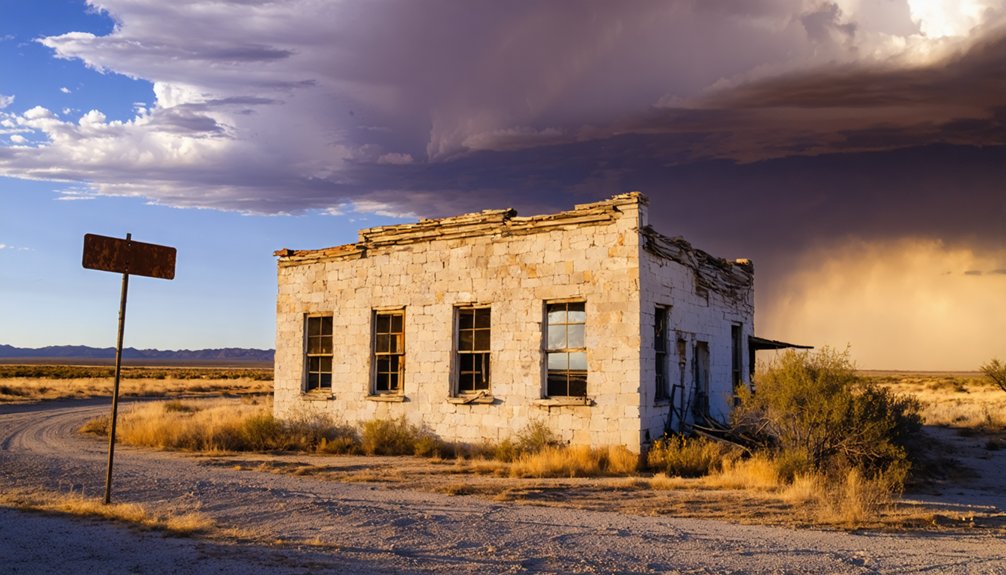
Cap Rock, Texas sits about 27 miles east of Lubbock along State Highway 207, where the High Plains drop sharply into canyon country. You’re heading into ghost town territory — a community that peaked in the 1920s and faded to near silence. Bring water, a full tank, and offline maps, because services disappear fast out here. The escarpment, the empty roads, and the layered canyon walls tell a story that’s only just getting started.
Key Takeaways
- Cap Rock is located along State Highway 207 in Crosby County, Texas, roughly 27 miles east of Lubbock and accessible within an hour.
- Established in 1925, Cap Rock declined into a ghost town with a population of just 25 by 2000, leaving behind silent, haunting remnants.
- State Highway 207 serves as the main route, offering scenic escarpment viewpoints, canyon walls, and access to farm roads for deeper exploration.
- Nearby Caprock Canyons State Park spans 17,500 acres, featuring striking red and tan canyon walls, bison herds, and trails worth adding to your route.
- Essential travel preparations include carrying extra water, a full gas tank, offline maps, and a camera for this remote, self-reliant destination.
What Makes Cap Rock, Texas Worth the Drive?
Cap Rock, Texas isn’t much to look at on a map — a pinprick on State Highway 207 in Crosby County, about 27 miles east of Lubbock — but that’s exactly what makes it worth finding. You’re not chasing a tourist attraction. You’re chasing the edge of the world — specifically, the Caprock escarpment, where the High Plains drop sharply into the rolling lowlands below.
This dramatic geological boundary shaped ranching empires, invited local legends, and still draws wildlife encounters you won’t find in busier corners of Texas. Cap Rock was carved out of ranchland in 1925, and it’s been quietly fading ever since. That slow disappearance is the draw. You come here for the silence, the red-rock cliffs, and the feeling that you’ve found something most people drove right past.
Where Cap Rock, Texas Actually Is
Tucked along State Highway 207 in Crosby County, Cap Rock sits about 27 miles east of Lubbock — close enough to reach in under an hour, remote enough to feel like you’ve crossed into a different era.
You’re riding the edge of the Caprock escarpment here, where the High Plains drop sharply into the lower rolling plains of West Texas. That abrupt geological shift defines everything — the landscape, the light, even the mood of the drive.
The High Plains don’t ease into the lower rolling plains — they fall away, suddenly and without apology.
Cultural landmarks along this corridor connect ranching heritage to early farming settlements that once thrived after ranchlands broke apart in 1925.
Wildlife encounters are common where the escarpment cuts open into canyon terrain.
This isn’t a destination you stumble onto — it’s one you deliberately seek out.
Why the Caprock Escarpment Dominates Everything You See
Once you reach the escarpment’s edge, everything else organizes itself around that single fact. The Caprock rises abruptly — sometimes 1,000 feet — separating the flat High Plains above from the rolling terrain below. Erosion carved this wall between one and two million years ago, and rivers have been cutting into it ever since, producing canyons like Palo Duro.
You’re standing at one of West Texas’s most powerful cultural landmarks, a boundary that shaped ranching routes, settlement patterns, and survival itself. The red and tan rock face stretches in both directions, demanding your attention.
These scenic viewpoints aren’t manufactured overlooks — they’re raw edges where the land simply drops away. Drive slowly here. The escarpment rewards patience, and the view belongs entirely to you.
The Ghost Town History That Put Cap Rock on the Map
When you roll into Cap Rock today, you’re looking at what was once a working farm community carved out of open ranchland in 1925. Ranchers sold off their holdings, settlers broke the soil, and for a time the place had enough life to earn a spot on the map.
But the population had already dropped to just 25 by 2000, leaving behind little more than a ghost town clinging to State Highway 207.
Ranchland Breaks Into Farms
Before the farms arrived, this stretch of Crosby County was open ranchland—wide, quiet, and mostly unchanged. Then 1925 arrived, and the land shifted. Ranchers sold off parcels, settlers broke ground, and a community called Cap Rock took shape along State Highway 207.
You can still feel that shift when you drive through. The geological formations along the escarpment edge tell one story—ancient, indifferent, enduring. The wildlife encounters tell another—jackrabbits cutting across fields that once fed cattle.
The farms that replaced open range brought brief prosperity, then slow decline.
Cap Rock never grew large. By 2000, only 25 people remained. What you’re visiting now is the skeleton of an ambitious era—a reminder that breaking new ground doesn’t always mean staying put.
Settlement Slowly Fades
Settlements like Cap Rock don’t vanish overnight—they thin out, quietly, one family at a time. By 2000, only 25 people remained, a number that tells you everything about what happened after the farming boom faded. The land stayed, but the community didn’t hold.
What you’ll find now are the cultural landmarks of absence—old structures, worn roads, and the kind of silence that carries history. Any historical artifacts still scattered across the area speak to lives built on hard soil and harder odds.
That’s exactly what makes Cap Rock worth the drive. You’re not chasing a preserved town. You’re reading a landscape that recorded its own slow departure, layer by layer, the same way the Caprock escarpment records geological time.
Ghost Town Remains Today
Though little physical infrastructure survives, Cap Rock’s ghost town status is exactly what draws curious travelers down State Highway 207 today. You’re chasing something real here — a place where historical architecture crumbled quietly and cultural relics dissolved into ranchland. What remains tells the story honestly.
When you visit, keep these realities in mind:
- The population dropped to just 25 residents by 2000
- Established in 1925, the community lasted barely a generation before fading
- No museums preserve the site — the land itself is the exhibit
- The escarpment backdrop gives the ghost town its dramatic, unscripted context
You won’t find a welcome center. You’ll find open sky, cracked earth, and the kind of silence that makes history feel immediate rather than distant.
The Best Roads to Drive Through Caprock Country
Driving through Caprock country means reading the land as much as the map. State Highway 207 cuts straight through the heart of this escarpment territory, dropping you off the High Plains edge with little warning. You’ll catch scenic viewpoints where the canyon walls fall away sharply, exposing layers of red and tan rock shaped over a million years.
Farm roads branching off the main route reward slower exploration, connecting you to historical artifacts from early twentieth-century settlements built after ranchlands broke apart. These forgotten crossroads tell the story better than any museum.
Push south through Crosby County, then loop toward Caprock Canyons State Park in Briscoe County for the escarpment’s most dramatic reveal. The land changes fast out here, and that’s exactly the point.
Ghost Towns Near Cap Rock Worth Adding to Your Route
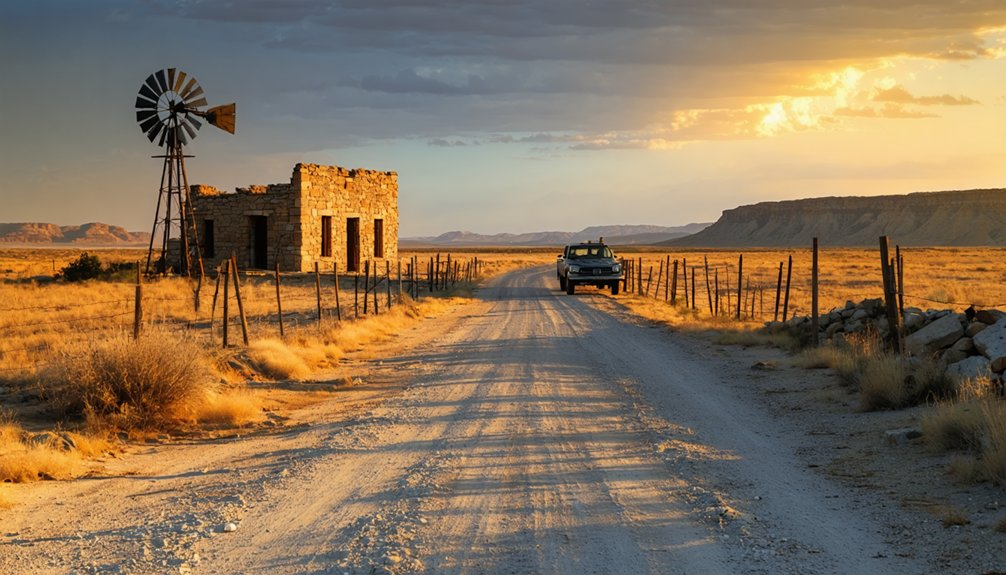
Cap Rock isn’t the only community in Crosby County that time has nearly erased. Just to the south, Canyon Valley stands as another ghost town along the escarpment’s edge, where the land outlasted the people who tried to settle it.
If you’re already driving this stretch of West Texas, adding these lost communities to your route turns a scenic drive into a deeper reckoning with the region’s vanished past.
Canyon Valley Ghost Town
While you’re tracing the Caprock’s edge, southern Crosby County holds another forgotten settlement worth tracking down: Canyon Valley. Like Cap Rock, it faded as agricultural dreams outpaced the land’s limits.
Its cultural heritage survives in the landscape itself — eroded draws, quiet roads, and the escarpment watching over everything.
Make your stop count:
- Photograph the terrain — canyon cuts here reveal raw geological history hidden from highway travelers.
- Note the silence — these historical landmarks speak loudest when you slow down.
- Study the road patterns — old settlement grids hint at where community life once organized itself.
- Connect the dots — Canyon Valley and Cap Rock together tell a fuller story of West Texas’s stubborn, fading frontier.
Nearby Abandoned Settlements
The Caprock’s edge didn’t surrender its settlements quietly — ghost towns cluster along this stretch of West Texas like faded mile markers, each one a chapter in the same unfinished story. Beyond Canyon Valley, similar communities dot Crosby, Garza, and Borden counties, their historical architecture slowly returning to caliche and dust.
You’ll find collapsed storefronts, forgotten grain elevators, and crumbling foundations that locals still navigate by name. Local legends attach themselves to these places — stories of droughts that broke families, booms that never arrived, and ranchers who simply walked away.
If you’re building your route, follow Highway 207 south and push into the surrounding counties. The landscape rewards curiosity, and every ghost town you find adds another honest layer to this unvarnished corner of Texas.
Crosby County Lost Communities
Crosby County holds more ghost towns than most travelers expect when they turn off the highway and start paying attention. The land swallowed communities whole after farming economics shifted.
Historical anecdotes around every bend connect you to settlers who bet everything on this escarpment country.
Here are four lost communities worth plotting on your route:
- Cap Rock – Founded 1925, population collapsed to 25 by 2000
- Canyon Valley – Southern Crosby County ghost town tied to ranching decline
- Escarpment edge settlements – Small camps lost when geological formations made farming unsustainable
- Former ranch divisions – Subdivided ranchlands that briefly became communities before emptying out
You’re not just driving through emptiness. You’re reading a landscape that outlasted the people who tried to claim it.
What Caprock Canyons State Park Offers Visitors
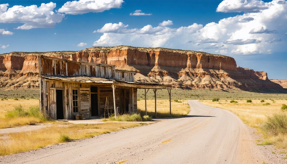
Sitting along the eastern edge of the Llano Estacado in Briscoe County, Caprock Canyons State Park spreads across roughly 17,500 acres of rugged escarpment country that’ll stop you in your tracks.
Caprock Canyons sits where the Llano Estacado drops away — 17,500 acres of escarpment country that earns every mile.
Canyon walls of red and tan rock rise dramatically from the plains, giving you some of the most striking scenic overlooks in West Texas.
You’ll hike trails that cut through terrain shaped by millions of years of erosion, tracing the same landscape that once defined ranching boundaries across the region.
Wildlife encounters here are genuine — the park protects a state bison herd, and mule deer move freely through the canyon breaks.
The Trailway adds miles of off-road access, pulling you deeper into escarpment country where the land tells its own unfiltered story.
What to Bring for Driving the Caprock Escarpment Route
Once you’ve taken in what Caprock Canyons offers, the drive along the escarpment route demands its own preparation — this isn’t suburban highway country. The terrain shifts fast, scenic stops appear without warning, and services disappear for miles. Pack your travel gear with intention.
- Water — carry more than you think you’ll need; towns like Cap Rock have almost nothing left standing.
- Paper maps or downloaded offline routes — cell signals drop across Crosby County’s open stretches.
- Camera or binoculars — the red and tan cliff walls rise 50 to 100 feet and reward a slow look.
- Full fuel tank — gas stations thin out quickly once you leave the main corridors.
Freedom out here means self-reliance. Prepare accordingly.
Frequently Asked Questions
Is Cap Rock, Texas an Officially Recognized Ghost Town?
Cap Rock isn’t officially a ghost town, but it’s practically swallowed by time. You’ll find its historical significance alive in local legends, with a population that’s dwindled to almost nothing since its 1925 founding.
What County Is Cap Rock, Texas Located In?
You’ll find Cap Rock, Texas nestled in Crosby County, where history exploration rewards the free-spirited traveler. Chase its scenic viewpoints along State Highway 207, and you’re living the open-road adventure West Texas was made for.
Are There Any Services or Gas Stations Near Cap Rock?
With only 25 residents recorded in 2000, you’ll find virtually no local dining options or roadside attractions in Cap Rock itself — so fuel up beforehand and embrace the raw, untamed freedom of this hauntingly sparse West Texas frontier.
What Is the Best Time of Year to Visit?
Spring and fall offer you the best seasonal weather for exploring Cap Rock’s rugged escarpment. You’ll capture stunning best photography in softer light, and the mild temperatures keep your adventurous spirit roaming freely across West Texas’s open ghost-town country.
Can You Camp Overnight Anywhere Along the Caprock Escarpment Route?
You can camp overnight at Caprock Canyons State Park, where camping regulations keep the wild spirit intact. Fall asleep beneath canyon walls at scenic viewpoints, connecting you to the rugged freedom this ancient escarpment has always promised.
References
- https://www.tshaonline.org/handbook/entries/caprock
- https://en.wikipedia.org/wiki/Caprock_Canyons_State_Park_and_Trailway
- https://en.wikipedia.org/wiki/Canyon_Valley
- https://www.tshaonline.org/handbook/entries/cap-rock-tx
- https://www.texasmonthly.com/travel/texas-primer-caprock/



