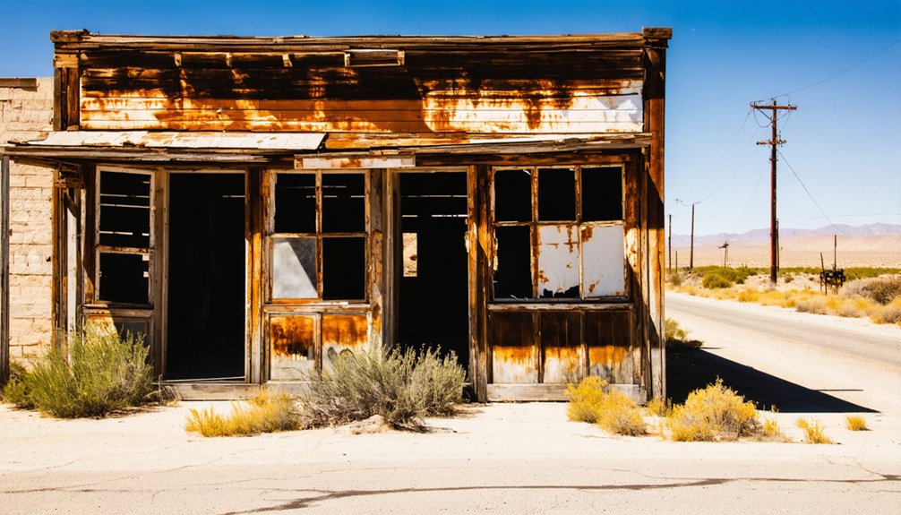
Planning a ghost town road trip to Chinquapin, California means visiting a forgotten Gold Rush settlement tucked inside Yosemite National Park. You’ll find it about 8.5 miles north-northwest of Wawona, accessible via Highway 41 along Wawona Road. No structures remain, but historical signage marks the site. Trails, campgrounds, and stunning Sierra Nevada scenery surround the area. There’s far more to this unusual destination than most travelers expect.
Key Takeaways
- Chinquapin, California, is a mid-1800s abandoned mining settlement in Yosemite National Park, accessible via Highway 41 along Wawona Road.
- No original structures remain, but historical signage marks the site, offering insight into its frontier mining past.
- Visitors must hike to reach the site, with shuttle services available from nearby park entrances to trailheads.
- Trails from Chinquapin Junction connect to Pohono Trail, Badger Pass, and granite vistas through dense Sierra Nevada forests.
- Nearby stops include Tunnel View, Mariposa Grove, and Wawona Hotel, enriching the ghost town road trip experience.
What Is Chinquapin and Why Does It Exist Inside Yosemite?
Tucked within Yosemite National Park’s boundaries in Mariposa County, Chinquapin is a former 19th-century settlement that’s since faded into ghost town status, leaving behind little more than historical signage and hiking trails where a community once stood. It sits midway between Yosemite Valley and Wawona, roughly 8.5 miles north-northwest of the Wawona community, placing you at approximately 4,000 feet elevation in the Sierra Nevada.
Mining history shaped this settlement during California’s mid-1800s boom era, drawing people into these mountains chasing opportunity. Local legends still echo through the park’s archives, connecting Chinquapin to Mariposa County’s broader mineral heritage.
Today, you won’t find standing structures here — just trails, trees, and the quiet satisfaction of walking ground that once buzzed with frontier ambition.
Where Is Chinquapin, California Located?
Nestled in Mariposa County at roughly 37.65°N, 119.71°W, Chinquapin sits midway between Yosemite Valley and Wawona at around 4,000 feet elevation in the Sierra Nevada — placing it squarely within Yosemite National Park’s boundaries, adjacent to the community of Yosemite West.
Chinquapin rests at 4,000 feet, carved into Sierra Nevada wilderness midway between Yosemite Valley and Wawona.
You’ll reach it primarily via Highway 41 along Wawona Road, with no direct vehicle access to the ghost town site itself.
This elevation sweet spot rewards you with mountain air and dense conifer forest, framing a location that once buzzed with mining history activity during California’s mid-19th century boom. Today, the Sierra Nevada landscape swallows most traces of that era whole.
You’re fundamentally standing at a crossroads where wilderness and forgotten heritage collide — roughly 8.5 miles north-northwest of Wawona, waiting to be explored on foot.
Why Chinquapin Was Built: and Why Everyone Left
Once you understand where Chinquapin sits, the next question comes naturally: why did anyone bother building a settlement in such rugged, remote terrain in the first place? The answer is pure Wild West ambition fueled by California’s Mining Boom.
Prospectors chased opportunity into the Sierra Nevada, establishing Chinquapin as a foothold in Mariposa County’s mineral-rich landscape. But the settlement couldn’t survive what came next:
- Exhausted mineral deposits leaving workers with nothing to extract
- Brutal mountain winters cutting off supply routes for months
- Better opportunities pulling settlers toward more accessible regions
- No infrastructure to sustain a permanent, thriving community
How to Get to Chinquapin Inside Yosemite National Park
Getting to Chinquapin means committing to Highway 41, the primary artery that cuts through Yosemite National Park toward Yosemite Valley. From there, Wawona Road serves as your secondary option, giving you flexibility depending on your starting point.
Once inside the park, you’ll rely on hiking trails to reach the former settlement site — no vehicles service Chinquapin directly. Shuttle services operate from park entrances, dropping you closer to the trailheads.
The trails themselves benefit from ongoing trail maintenance efforts, keeping routes safe and navigable through Sierra Nevada terrain.
Keep wildlife preservation in mind as you move through the landscape — stay on marked paths and respect posted boundaries.
Chinquapin sits roughly 8.5 miles north-northwest of Wawona, midway between Wawona and Yosemite Valley, making it an ideal stop on a longer park route.
Which Roads Actually Reach Chinquapin From Outside the Park
Highway 41 is your main approach to Chinquapin from outside Yosemite National Park, connecting travelers from Fresno and the San Joaquin Valley directly into the park’s southern corridor. Road access to this ghost town feels like peeling back California’s wild history layer by layer.
Here’s what you’ll encounter along your route:
- Highway 41 North cuts through pine-covered foothills, climbing steadily toward Yosemite’s southern entrance.
- Wawona Road branches inward, threading past meadows and granite outcroppings.
- South entrance gate marks your official crossing into park territory.
- The junction near Yosemite West positions you perfectly for Chinquapin’s historical signage.
Once inside, you’ll trade open highway freedom for narrower mountain roads.
Plan your fuel stops before entering, because services disappear quickly beyond the park boundary.
What You’ll Actually See at the Chinquapin Site Today
When you arrive at the Chinquapin site, you won’t find any standing structures from the former settlement — the ghost town has truly vanished into the landscape.
What you’ll find is historical signage that marks the site and offers context about its 19th-century past.
From there, you can pick up hiking trails that wind through the area, connecting you to the broader Yosemite West trail system.
No Remaining Structures
If you’re hoping to find crumbling buildings or remnants of a 19th-century settlement at Chinquapin, you’ll need to adjust your expectations. Unlike classic abandoned ruins, nothing structural survives here. What you’ll encounter instead is a quiet, forested landscape that tells its story through historical markers rather than weathered walls.
Still, the site offers its own raw beauty:
- Towering Sierra Nevada conifers reclaiming land where settlers once walked
- Dappled light filtering through dense forest canopy
- Historical markers identifying where the settlement once stood
- Trail junctions offering views into Yosemite’s untouched wilderness
The absence of structures doesn’t diminish the experience — it amplifies it. You’re standing where history happened, surrounded by nature that’s fully taken back what was once borrowed from it.
Historical Signage Present
Though no buildings remain, historical signage does the heavy lifting at Chinquapin — grounding you in the site’s past without requiring a single standing wall. The markers tell the story of a mid-19th century settlement that once carved out a life in this rugged Sierra Nevada terrain, surrounded by geological formations that shaped both the land and the people who worked it.
You’ll read about Mariposa County’s mining heritage while standing in what’s now thriving wildlife habitat, where native species have fully reclaimed the landscape. The signs connect you directly to Yosemite’s layered history without filtering it through a museum.
You’re standing on the actual ground — that’s the difference. Bring time to read carefully, because these panels carry more weight than their size suggests.
Accessible Hiking Trails
The hiking trails that lead through the Chinquapin site are your real entry point into what this place used to be. Trail access here puts you directly in the footsteps of a genuine ghost town, moving through Sierra Nevada terrain that hasn’t changed much since the settlement went quiet.
You’ll walk through:
- Pine-shaded paths that open into clearings where structures once stood
- Rocky switchbacks revealing sweeping views toward Yosemite Valley
- Forested corridors dense with the same chinquapin trees that named this place
- Quiet intersections where historical signage connects you to the trail system
No crowds, no pavement, no hand-holding. Just open wilderness and the freedom to explore a forgotten California corner entirely on your own terms.
Which Hiking Trails Pass Through the Chinquapin Junction Area
Nestled within Yosemite National Park, Chinquapin Junction serves as a key trailhead connecting several popular hiking routes through the Sierra Nevada. From here, you’ll access the Pohono Trail, a breathtaking ridge-line route offering stunning scenic viewpoints across Yosemite Valley.
The Wawona Road corridor also branches toward Badger Pass, where wildlife encounters with black bears and mule deer are common sightings. You can follow the Four-Mile Trail extension heading northward, threading through dense mixed-conifer forest before opening onto granite-framed vistas.
Each trail radiates outward from the junction like spokes on a wheel, giving you total freedom to customize your adventure. Whether you’re chasing panoramic overlooks or quiet forest solitude, Chinquapin Junction puts multiple unforgettable Sierra Nevada experiences directly within your reach.
Where to Camp Near Chinquapin in Yosemite
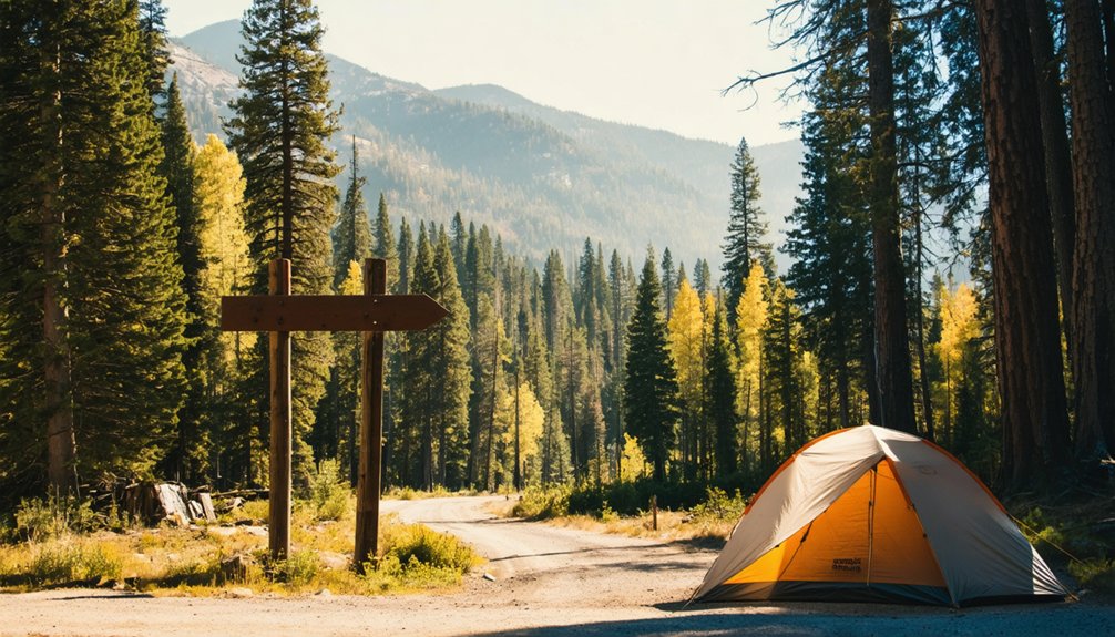
After hiking those trails radiating from Chinquapin Junction, you’ll want a comfortable basecamp nearby to rest and recharge before your next adventure. Yosemite’s surrounding campgrounds put you close to wildlife encounters and stunning scenic viewpoints throughout the park.
Consider these nearby camping options:
- Bridalveil Creek Campground – A quiet, forested retreat at 7,200 feet, offering cool nights and meadow wildlife encounters at dawn
- Wawona Campground – A classic riverside setting just 8.5 miles south, surrounded by towering pines
- Yosemite West Rentals – Private cabins adjacent to Chinquapin for those craving comfort over tent life
- Hodgdon Meadow Campground – Open year-round near the Big Oak Flat entrance, featuring expansive scenic viewpoints
Book reservations well in advance, especially during peak summer months.
Yosemite Stops Worth Adding Near Chinquapin
While you’re already midway between Yosemite Valley and Wawona, it’d be a shame to miss the iconic stops clustered along this corridor. Tunnel View delivers one of California’s most breathtaking scenic viewpoints, framing El Capitan, Half Dome, and Bridalveil Fall in a single sweeping panorama.
Tunnel View frames El Capitan, Half Dome, and Bridalveil Fall in one unforgettable California panorama.
Head south toward Wawona and you’ll find the historic Wawona Hotel and a covered bridge worth photographing. The Mariposa Grove of Giant Sequoias sits just beyond, offering humbling scale and quiet forest trails.
Throughout this stretch, wildlife encounters are practically guaranteed — deer graze roadside meadows at dusk, and black bears occasionally wander near wooded pullouts. Keep your camera ready and your speed low.
This corridor rewards curious travelers who take time to stop rather than simply pass through.
Frequently Asked Questions
What Is the Best Time of Year to Visit Chinquapin?
You’ll find summer’s the best time for Chinquapin history exploration, when trails are clear and accessible. Plan your ghost town exploration between June and September for ideal hiking conditions within Yosemite’s stunning Sierra Nevada landscape.
Are Pets Allowed on Hiking Trails Near Chinquapin Junction?
Over 90% of Yosemite’s trails restrict pets. You’ll find trail regulations near Chinquapin Junction limit pet friendly hikes considerably — dogs must stay on paved roads and campgrounds, so plan your adventure accordingly!
Does Chinquapin Have Any Cell Phone or Wifi Signal Available?
Don’t count on cell service or Wi-Fi availability at Chinquapin — you’re deep within Yosemite National Park’s wilderness. Embrace the disconnection; it’s your chance to fully immerse yourself in nature’s freedom and adventure!
What Wildlife Might Visitors Encounter Around the Chinquapin Area?
You’ll encounter rich wildlife diversity despite Chinquapin’s remote setting! Spot deer, black bears, and coyotes roaming freely. Bird watching opportunities thrive here, with eagles, owls, and woodpeckers filling the Sierra Nevada air with untamed wilderness sounds.
Are There Entrance Fees Specifically for Accessing the Chinquapin Site?
You won’t pay separate fees for Chinquapin history access — it’s covered by Yosemite’s standard park entrance fee. There aren’t specific access restrictions beyond the park’s general admission, so you’re free to explore!
References
- https://en.wikipedia.org/wiki/List_of_ghost_towns_in_California
- https://en.wikipedia.org/wiki/Category:Former_populated_places_in_California
- https://primitiveways.com/Chinquapin.html
- https://a.osmarks.net/content/wikipedia_en_all_maxi_2020-08/A/List_of_ghost_towns_in_California
- https://en.wikipedia.org/wiki/Chinquapin
- https://matchpro.org/Archives/2014/Ghost Town2.pdf
- https://www.campchinquapin.org/
- https://www.tripadvisor.com/ShowUserReviews-g33155-d113582-r284498833-Chinquapin-Tahoe_City_Lake_Tahoe_California_California.html
- https://www.ghosttowns.com/states/ca/caalpha.html
- https://www.fs.usda.gov/nsl/Wpsm/Chrysolepis.pdf



