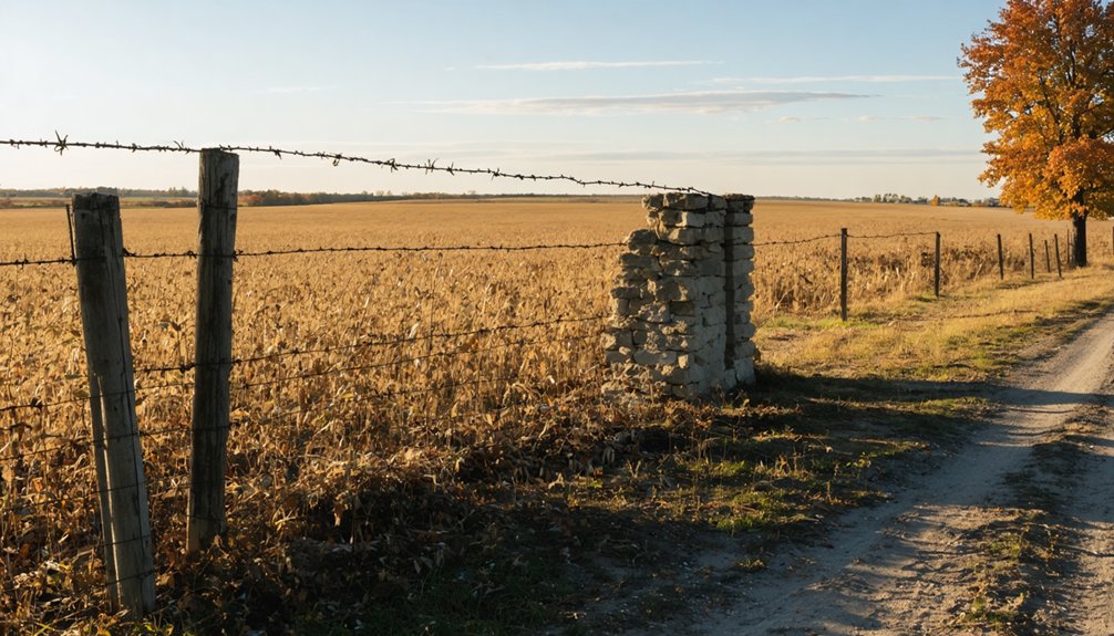
Planning a ghost town road trip to Civer, Illinois puts you just three miles west of Canton in Fulton County‘s sweeping prairie landscape. Established in 1869, Civer once had a railroad depot, general store, and post office before fading into history by 1906. Today, you’ll find open grassland, a few historical markers, and a powerful sense of quiet abandonment. Use coordinates 40° 31′ 27″ N, 90° 06′ 27″ W to find it. There’s plenty more to uncover about this forgotten settlement.
Key Takeaways
- Civer, Illinois, is a ghost town in Fulton County established in 1869, now featuring only open prairie and a few historical markers.
- Start your trip from Canton, Illinois, just three miles east, following the former TP&W Railroad corridor west to the site.
- Use coordinates 40° 31′ 27″ N, 90° 06′ 27″ W for precise navigation, as no surviving buildings mark the location.
- Visit during late September through October for mild weather, scenic fall foliage, and optimal photographic conditions.
- Stock all supplies beforehand, as Civer has no amenities; nearby Canton offers accommodations and dining options.
What Was Civer, Illinois: and Is It Worth the Drive?
Once a modest prairie settlement in Fulton County’s western Illinois heartland, Civer earned its place on 19th-century maps as a small agricultural hub complete with a railroad depot, general store, and post office established in 1869.
Canton’s industrial growth eventually overshadowed it, and by 1906, even the post office had closed its doors.
Today, only historical markers remain, making Civer a compelling stop for those passionate about historical preservation and vanishing American landscapes.
Don’t expect local legends or haunted lore — Civer’s story is quieter, defined by economic reality rather than folklore.
But if you’re drawn to wide-open prairies, forgotten coordinates, and the raw honesty of a place time erased, Civer absolutely rewards the drive.
It’s history without embellishment — and that’s precisely what makes it worth finding.
How to Get to Civer From Canton
If you’re starting your trip in Canton, you’ll find Civer just three miles to the west, making it an easy half-day detour. Follow the former TP&W Railroad line — now operated as the KJRY — which cuts through the flat Illinois prairie and traces the same route that once connected these two communities.
When you arrive, don’t expect a town; you’ll find only historical markers standing quietly where a post office and general store once served local farmers.
Starting Point In Canton
Canton, Illinois serves as your natural launching pad for reaching Civer, sitting just three miles to the east of the ghost town site. Before heading out, spend a moment appreciating Canton‘s own historical significance — this thriving town fundamentally absorbed Civer’s population as economic opportunities shifted westward during the early 20th century.
Stock up on supplies at Canton’s local shops before hitting the road. The drive west along the former TP&W Railroad corridor connects you directly to prairie land where Civer once stood. You’ll travel through open farmland that preserves the same agricultural character defining this region for centuries.
Preservation efforts have maintained historical markers at the site, so you won’t arrive empty-handed for context. Canton’s central location also makes it an ideal base for exploring other Fulton County ghost towns nearby.
Route Along Railroad Line
Heading west out of Canton, you’ll follow the historic TP&W Railroad corridor — now operated as the KJRY line — through open prairie farmland that stretches toward the Civer site roughly three miles out.
The railway alignment runs parallel to your route, and its historical significance becomes tangible as you trace the same path that once connected small agricultural communities to broader markets.
Watch for the subtle flattening of the landscape where tracks and road converge — that’s your clearest navigational cue.
The drive is short but rewarding, offering wide-open views that explain why settlers originally chose this corridor.
Keep your coordinates handy: 40° 31′ 27″ N, 90° 06′ 27″ W will pinpoint exactly where Civer once stood among these sweeping Illinois prairies.
Arriving At Civer
Once you’ve traced that railroad corridor west from Canton, the final stretch to Civer is straightforward. Drive roughly three miles west along the former TP&W Railroad line, now operated as KJRY, and you’ll arrive at coordinates 40° 31′ 27″ N, 90° 06′ 27″ W — elevation 679 feet above the sweeping Illinois prairie.
Don’t expect historical architecture or bustling streets. Civer surrendered those long ago. What greets you instead are open fields, historical markers, and silence. No local legends haunt this place either — Civer carries no documented folklore, just the quiet weight of abandonment.
Park where the land permits, step out, and let the markers tell the story. You’re standing where a functioning 19th-century community once served farmers before Canton simply swallowed its future whole.
What’s Actually Left at the Civer Ghost Town Site?
When you arrive at the Civer site today, you’ll find little more than open prairie and a handful of historical markers standing as the only evidence to what once existed here. Unlike other Illinois ghost towns rich with local folklore and crumbling abandoned structures, Civer offers nothing so dramatic.
No buildings survived the town’s quiet erasure from the landscape. Even the original cemetery is gone — a coal mining company relocated every body and gravestone to Shield’s Chapel Cemetery in nearby Buckheart Township.
What remains is fundamentally wind, grass, and open sky. For the freedom-seeking road tripper, that stark emptiness tells its own powerful story. You’re standing where a community once lived, worked, and faded — leaving almost nothing behind but a name on an old map.
Where Did the Civer Cemetery End Up?
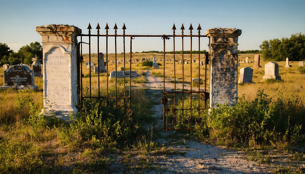
If you’re piecing together Civer’s full story, you can’t overlook the fate of its original cemetery — a coal mining company’s interest in the land forced the relocation of all bodies and gravestones to Shield’s Chapel Cemetery in Buckheart Township.
That nearby cemetery now serves as the final resting place for Civer’s former residents, preserving burial records that might otherwise have disappeared entirely.
Add Shield’s Chapel to your road trip itinerary, and you’ll gain a deeper, more complete connection to the community that once thrived here.
Cemetery Relocation Story
Perhaps the most unsettling chapter in Civer’s story isn’t its abandonment — it’s what happened to its cemetery. When a coal mining company set its sights on the land where Civer’s buried rested, the graves couldn’t stay.
Every body and every headstone was relocated to Shield’s Chapel Cemetery in neighboring Buckheart Township, just a few miles away.
That relocation carries real historical significance for anyone tracing cemetery stories across Illinois ghost towns. You won’t find a single grave marker at the original Civer site today — the coal company claimed that ground completely.
If you want to connect with Civer’s human history, Shield’s Chapel Cemetery is where you’ll find it. It’s a sobering reminder that even the dead weren’t spared from the forces that erased this town.
Shield’s Chapel Cemetery Today
Where did Civer’s displaced dead ultimately come to rest? Shield’s Chapel Cemetery in Buckheart Township became their final, permanent home. When a coal mining company claimed the original Civer burial ground, every body and gravestone made the journey to this quieter resting place just a few miles away.
Today, Shield’s Chapel Cemetery stands as a living example of historic preservation, honoring lives once rooted in a town that no longer exists. If local legends interest you, walking among these relocated markers connects you directly to Civer’s forgotten story.
You’re not just visiting graves — you’re reading the last physical chapter of an erased community.
Make Shield’s Chapel Cemetery part of your road trip itinerary. It’s accessible, meaningful, and quietly powerful for anyone who values authentic historical discovery.
Which Other Fulton County Ghost Towns Are Worth Visiting?
While Civer’s story stands as a fascinating slice of Illinois history, it’s not alone in Fulton County‘s collection of vanished communities — Bybee is another ghost town worth adding to your itinerary. Like Civer, Bybee faded as economic opportunities shifted toward larger settlements, leaving behind little more than a name on aging maps.
As you explore these forgotten places, you’ll uncover local legends that color the region’s past and remind you how quickly thriving communities can disappear.
Preservation efforts in Fulton County remain modest, so visiting now means witnessing these sites before time erases them further.
Combining Civer and Bybee into a single road trip gives you a richer picture of western Illinois’ 19th-century rural landscape and the forces that shaped — and ultimately abandoned — it.
Where to Eat and Sleep on a Civer Road Trip

Since Civer itself offers no amenities — no restaurants, no lodging, no services of any kind — you’ll want to base yourself in nearby Canton, roughly three miles to the east. This small Illinois city gives you the freedom to explore on your own terms, with hotel accommodations ranging from budget-friendly chains to comfortable independent options.
After a morning at the ghost town site, you can refuel with local cuisine at Canton’s diners and family-owned restaurants, where hearty Midwestern cooking keeps road trippers satisfied.
Stock up on supplies before heading out, since the Civer site sits on open prairie with nothing nearby.
Canton’s central location also makes it a smart overnight hub if you’re combining this stop with visits to other Fulton County ghost towns like Bybee.
Best Time of Year for a Civer Road Trip
Timing your visit to Civer can make the difference between a rewarding prairie excursion and a miserable slog through mud or bitter cold. Late spring and early fall offer the sweetest windows for exploring this Fulton County ghost town. You’ll find mild temperatures, manageable road conditions, and golden light that maximizes your photography opportunities among the historical markers and sweeping prairie landscape.
Summer works if you tolerate heat, but overgrown vegetation can obscure site details and limit visibility. Winter strips the land bare, which actually sharpens the historical significance of the sparse markers against an empty horizon. Though, frozen ground and icy rural roads create real hazards.
September through October remains the top recommendation — comfortable weather, stunning colors, and fewer crowds on the backroads connecting Civer to nearby Canton.
Frequently Asked Questions
When Did Civer’s Post Office Officially Open and Close?
You’ll find Civer’s post office opened in 1869 and closed in 1906—a piece of historical preservation worth exploring. Though community legends fade, these dates mark the town’s vibrant past and quiet surrender to time.
What Railroad Line Originally Ran Through Civer, Illinois?
Like a lifeline through the prairie, the TP&W Railroad originally ran through Civer. You’ll find its historical railway routes central to ghost town preservation, connecting this vanished settlement to nearby Canton along what’s now the KJRY line.
Why Was Civer’s Cemetery Relocated From Its Original Location?
A coal mining company’s expansion forced Civer’s cemetery relocation—you’ll find it’s a striking case of historical preservation in action. They moved all bodies and gravestones to Shield’s Chapel Cemetery in Buckheart Township, ensuring respectful cemetery relocation.
What Are Civer’s Exact Geographic Coordinates and Elevation?
You’ll find Civer at 40° 31′ 27″ N, 90° 06′ 27″ W, sitting at 679 feet elevation. While exploring its historic landmarks, grab local cuisine nearby in Canton before venturing into these sweeping, freedom-filled Illinois prairies!
Does Civer Have Any Local Ghost Stories or Haunting Legends?
You’ll find no supernatural sightings or haunted tales lurking here — Civer’s silence runs deeper than legends. Unlike other ghost towns, it holds no documented hauntings, leaving you free to write your own eerie story.
References
- https://kids.kiddle.co/Civer
- https://en.wikipedia.org/wiki/Civer
- http://cantontornado36.blogspot.com/2017/05/waterford-tuscumbia-civer-three.html
- https://drloihjournal.blogspot.com/2022/04/lost-towns-of-illinois-civer-illinois.html
- https://kids.kiddle.co/List_of_ghost_towns_in_Illinois