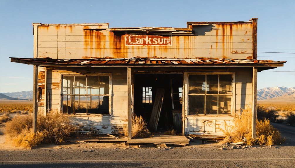
If you’re planning a ghost town road trip to “Clarkson,” California, you’re actually looking for Clarksville — a Gold Rush relic hiding along White Rock Road in El Dorado County. This forgotten settlement served as a trading post, Pony Express station, and early Lincoln Highway stop before highway realignment left it to decay. You can view original concrete slabs and crumbling ruins from the roadside without crossing onto private property. There’s far more layered history here than most travelers ever expect.
Key Takeaways
- Clarkson (also called Clarksville) is a Gold Rush ghost town in El Dorado County, accessible via a short detour off U.S. 50.
- The site is private property, so sightseeing is limited to roadside viewing along White Rock Road and Old White Rock Road.
- Visit during spring or fall for the best conditions; summer visits should occur early morning to avoid heat.
- Allocate 20–30 minutes for the stop and combine it with nearby El Dorado County heritage sites or a Lake Tahoe road trip.
- Original Lincoln Highway concrete slabs and crumbling ruins are visible from the roadside, offering authentic Gold Rush and early road history.
What Was Clarksville: and Why Do Old Maps Call It “Clarkson”?
Tucked into the Sierra Nevada foothills of El Dorado County, Clarksville started as a scrappy Gold Rush settlement built around a tavern, a trading post, and a steady stream of miners pushing toward the mountains.
Founded around 1848 or 1849, it grew quickly into a legitimate stop along the stagecoach corridor connecting the foothills to Sacramento.
By the late 1840s, Clarksville had already planted itself firmly along the stagecoach route linking foothill gold country to Sacramento.
Here’s where historical accuracy gets interesting. If you’re cross-referencing old documents, you’ll spot map variations that label the town “Clarkson” rather than “Clarksville.” That discrepancy traces back to the town’s namesake, a Mr. Clarkson, whose name got recorded inconsistently across different sources.
An 1857 map uses “Clarkson” outright. Whether you call it Clarksville or Clarkson, you’re talking about the same forgotten foothill community worth tracking down.
Where Is the Clarksville Ghost Town Site?
You’ll find the Clarksville ghost town site tucked into El Dorado County, California, just off White Rock Road and Old White Rock Road. The location sits close enough to modern U.S. 50 that you can reach it as a quick detour without markedly disrupting your drive.
That convenient proximity makes it an easy add-on if you’re already heading toward Lake Tahoe or cruising through the Sacramento foothills.
El Dorado County Location
Where exactly do you find a ghost town that most drivers unknowingly pass every day? Clarksville sits in El Dorado County, California, tucked just off modern U.S. 50 near White Rock Road and Old White Rock Road. You’re fundamentally driving parallel to it without realizing it.
The site rests along a corridor once traveled by Gold Rush miners, Pony Express riders, and early automobile adventurers following the Lincoln Highway. Historical artifacts scattered across the property hint at those layered eras, though preservation efforts remain limited given the land’s private ownership status.
You won’t find welcome signs or parking lots here. Instead, you’ll spot ruins from the road, a quiet reminder that El Dorado County’s history doesn’t always come neatly packaged for tourists.
Near White Rock Road
Finding the exact spot requires a small but deliberate detour off U.S. 50 onto White Rock Road, then onto Old White Rock Road, where the ghost town’s remnants quietly line the roadside.
You’ll notice crumbling concrete slabs from the original South Lincoln Highway alignment still embedded in the landscape, offering a rare, unfiltered glimpse into early automotive history.
Don’t expect signage or infrastructure — historical preservation here remains minimal, and tourism development hasn’t touched this corridor in any meaningful way.
That rawness is precisely what makes it compelling.
You’re fundamentally reading the landscape on your own terms, piecing together a story of Gold Rush ambition and highway-era commerce from fragments visible along the right-of-way.
Park safely, scan the treeline, and let the ruins speak for themselves.
Close To U.S. 50
The ghost town of Clarksville sits close enough to U.S. 50 that you can reach it without a significant detour, yet far enough off the main corridor that most drivers blow past it without a second thought. Exit toward White Rock Road and Old White Rock Road, and you’ll find yourself tracing a route that predates the modern highway entirely.
U.S. 50 fundamentally replaced this older alignment, and that bypass is precisely what sealed Clarksville’s fate. Historical preservation efforts here remain minimal, leaving ruins exposed rather than interpreted.
Tourism development hasn’t touched this corner of El Dorado County the way it has flashier Gold Rush sites. That neglect is actually part of the appeal — you’re seeing a forgotten stop on your own terms, without crowds or guardrails softening the experience.
How Clarksville Went From Gold Rush Boomtown to Ghost Town
Once a buzzing stop for Gold Rush miners and stagecoach travelers, Clarksville built its early identity around a tavern, a trading post, and the steady stream of fortune-seekers pushing through the Sierra Nevada foothills in the late 1840s.
By the later 1800s, you’d have found four hotels and active businesses lining its streets. The town even served as a Pony Express remounting station between 1860 and 1861.
Then the highway moved. When road realignments in the 1940s rerouted traffic onto what became U.S. 50, Clarksville lost its lifeline.
Repeated fires accelerated the decline. Today, historical artifacts and scattered ruins are all that remain, with preservation efforts largely absent. The freedom to explore fully is limited too, since the land sits privately owned.
Clarksville’s Forgotten Role in Lincoln Highway History
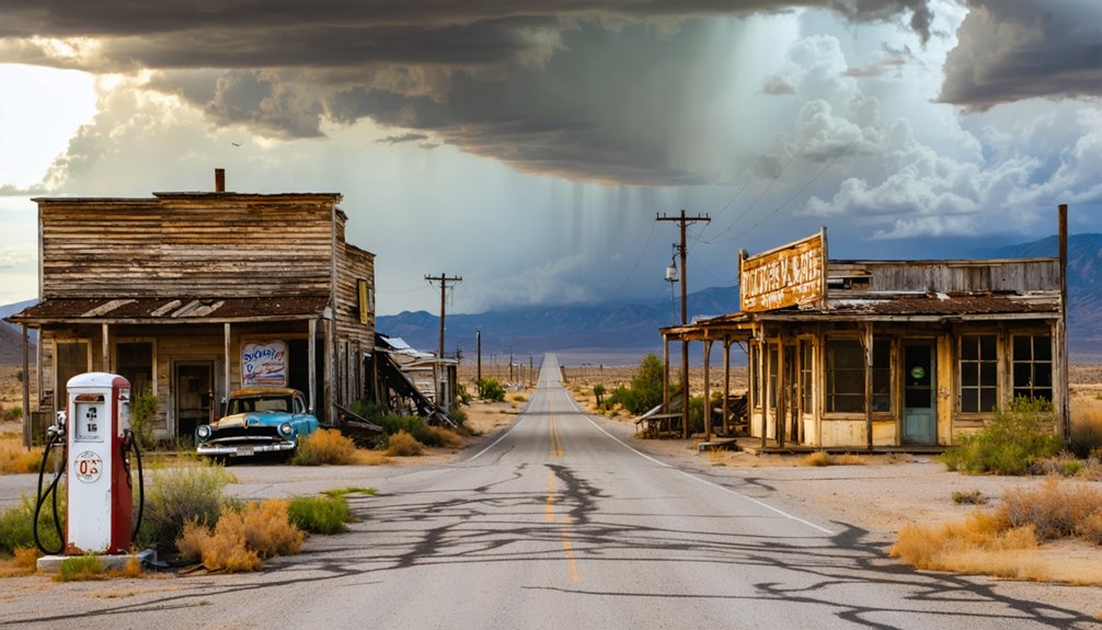
Before U.S. 50 became the dominant artery through El Dorado County, Clarksville sat along the Lincoln Highway—America’s first transcontinental road—pulling in early automobile travelers the same way it had once drawn stagecoach passengers and Gold Rush miners. That roadside energy kept the town alive well into the twentieth century.
Then came the 1940s realignment. Highway planners rerouted traffic, and Clarksville lost its purpose almost overnight.
Today, you can still spot original concrete slabs from the South Lincoln Highway alignment near White Rock Road—tangible proof of what once was.
Historical accuracy matters here because preservation challenges have left little else standing. If you’re chasing early auto travel history through El Dorado County, these weathered road remnants offer a rare, unfiltered connection to America’s open-road era.
The Ruins and Road Remnants Visible From the Property Line
Standing at the edge of the right-of-way on White Rock Road, you’ll catch glimpses of what Clarksville once was—scattered building fragments, weathered ruins, and the ghost of a town that highway planners effectively erased.
From the edge of White Rock Road, scattered ruins whisper the story of a town highway planners chose to erase.
The original concrete slabs from the South Lincoln Highway and old U.S. 50 alignment still cut through the landscape, offering a tangible connection to early American road travel.
Visitor accessibility here means roadside viewing only. The land is private, so you won’t walk the grounds, but you don’t need to. The ruins speak clearly enough from the boundary line.
Historical preservation at Clarksville is informal at best—no interpretive signs, no restored structures. What you’re seeing is raw, unmanaged history, and that honestly makes it more compelling than a polished museum ever could.
Planning a Clarksville Stop on Your El Dorado County Drive
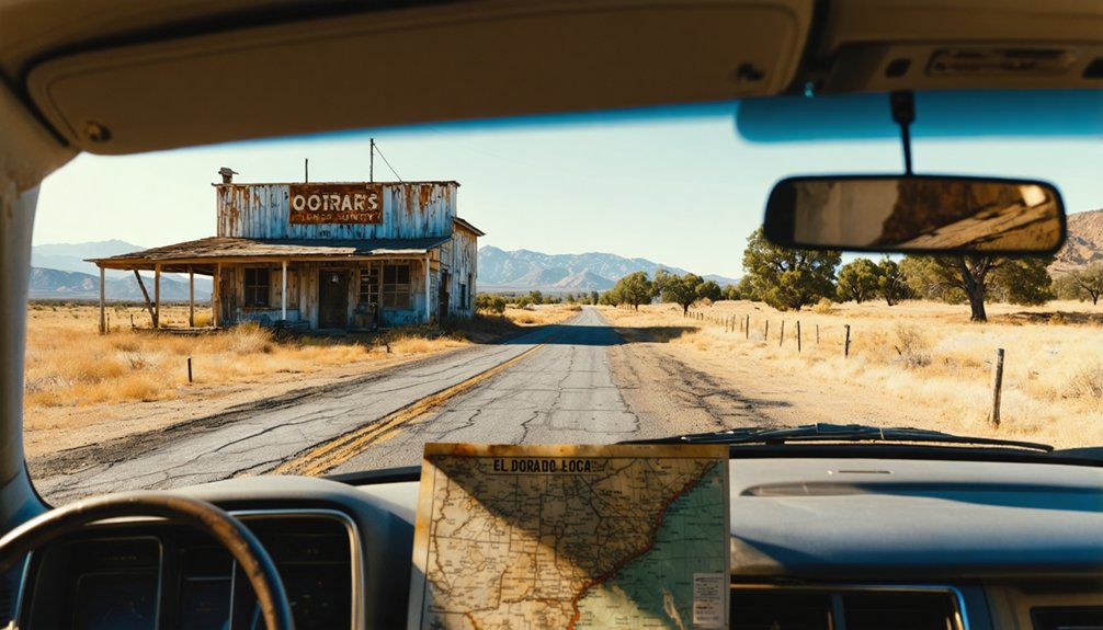
Slotting Clarksville into your El Dorado County itinerary is straightforward since it sits just off U.S. 50 near White Rock Road and Old White Rock Road. You’re not dealing with a lengthy detour, making it an easy addition to a broader Lincoln Highway heritage drive.
Keep these planning points in mind:
- Respect private property boundaries and plan for roadside viewing of historical artifacts rather than interior exploration.
- Pair the stop with other ghost town heritage sites along the El Dorado County corridor for a fuller experience.
- Visit during daylight hours when road remnants and ruins are clearly visible from public rights-of-way.
You’ll spend roughly 20–30 minutes here, so build the stop into a longer Sacramento or Lake Tahoe road trip without losing momentum.
When to Visit and How to Respect the Private Property Boundary
Spring and fall offer the most comfortable conditions for a roadside stop at Clarksville, since summer heat in the Sierra Nevada foothills can make a quick outdoor visit genuinely unpleasant.
You’ll get the clearest views of the ruins and old concrete road slabs when the light is low and the vegetation isn’t overgrown, so morning visits in either season work best.
Since the land is private property, you need to stay within the public right-of-way along White Rock Road and Old White Rock Road, keeping off fenced or posted areas entirely.
Best Visiting Seasons
Although Clarksville sits just off a busy modern corridor, timing your visit can make a real difference in what you’ll see and how comfortably you’ll see it. Dry, mild conditions reveal the most detail in the ruins and historic preservation efforts along the roadside boundary.
- Spring (March–May): Wildflowers frame the remnants beautifully, and mild temperatures make roadside stops comfortable.
- Fall (September–October): Clear skies and golden light enhance photography of the crumbling structures tied to local legends and Gold Rush history.
- Summer: Feasible but hot; early morning visits work best before midday heat sets in.
Avoid winter visits when rain obscures road remnants and muddy shoulders limit safe parking.
Whatever season you choose, plan for a short, efficient stop rather than an extended stay.
Respecting Property Boundaries
Knowing when to go matters, but knowing where to stop matters just as much. Clarksville sits on private land, so you’ll need to respect that boundary rather than push past it.
Roadside viewing from White Rock Road and Old White Rock Road gives you a genuine look at ruins and original concrete highway slabs without trespassing. Urban legends about the old brothel and Gold Rush-era secrets make the urge to explore understandable, but crossing onto private property damages preservation efforts already strained by preservation challenges like fire damage and decades of neglect.
You’re free to photograph, observe, and absorb the atmosphere from the right-of-way. That restraint actually honors the site better than any unauthorized visit could. Respect the boundary, and the history speaks for itself.
Before You Go: Safety at Abandoned Sites
Ghost town structures have stood without maintenance for decades. Floors, stairs and roof timbers fail without warning, and a building that looks solid from outside may not hold your weight. Stay out of standing structures unless the site is actively maintained and open to visitors.
Mine workings are the more serious hazard. Vertical shafts can be hundreds of feet deep, are often unfenced, and may be hidden by brush or capped with rotted boards. Never enter an adit, tunnel or shaft: abandoned workings can hold oxygen-poor or toxic air that gives no warning before you lose consciousness.
Enclosed spaces with rodent droppings carry a risk of hantavirus, which is contracted by breathing contaminated dust. Do not sweep or stir up dust inside old cabins and outbuildings.
Cell coverage at these sites is usually poor or absent. Tell someone your route and expected return time, and carry more water than you think you need.
Frequently Asked Questions
Is There Any Parking Available Near the Clarksville Ghost Town Site?
You’ll find limited parking options along White Rock Road’s roadside pullouts, but don’t expect nearby facilities like formal lots or visitor centers—it’s a rugged, freewheeling stop best suited for quick roadside viewing of this private property.
Are Guided Tours of Clarksville Ever Offered to the Public?
Once thriving, now forgotten—you won’t find regular guided tours here. Historical preservation efforts keep tour accessibility minimal, with the site remaining private property. You’ll catch only glimpses from the roadside during rare, limited public openings.
Can You Combine a Clarksville Stop With Other El Dorado County Attractions?
You can absolutely combine your Clarksville stop with El Dorado County’s rich historical preservation sites and local dining options, creating a freewheeling Lincoln Highway adventure that satisfies your curiosity for forgotten roads and authentic Gold Rush heritage.
Is the Clarksville Area Safe to Visit With Children?
Over 60% of ghost town visits are family-friendly! You’ll find Clarksville’s roadside viewing safe for kids, supporting historical preservation from public rights-of-way. Stay alert to wildlife safety, as El Dorado County’s foothill terrain harbors local animals.
What Other California Ghost Towns Are Located Near Clarksville?
You’ll find several nearby ghost towns worth exploring for history preservation and abandoned structures, including Shingle Springs and Nashville, both tucked within El Dorado County’s rugged foothills, offering you fascinating glimpses into California’s forgotten Gold Rush past.
References
- https://www.youtube.com/watch?v=ZtBc0thPiyE
- https://en.wikipedia.org/wiki/Clarkson
- https://a.osmarks.net/content/wikipedia_en_all_maxi_2020-08/A/List_of_ghost_towns_in_California
- https://www.youtube.com/watch?v=OJVKZajy1F4
- https://www.abc10.com/article/entertainment/television/programs/backroads/abandoned-highway-leads-to-suburban-ghost-town/103-6cab2c73-78a7-459a-8c7a-19a21bc78b00
- https://www.youtube.com/watch?v=oqqOgsjLs00
- https://www.imdb.com/title/tt5715192/plotsummary/
- https://en.wikipedia.org/wiki/List_of_ghost_towns_in_California
- http://www.gribblenation.org/2021/06/former-us-route-50-and-south-lincoln.html
- https://www.yahoo.com/entertainment/videos/travel-mom-surprises-kelly-clarkson-000000688.html



