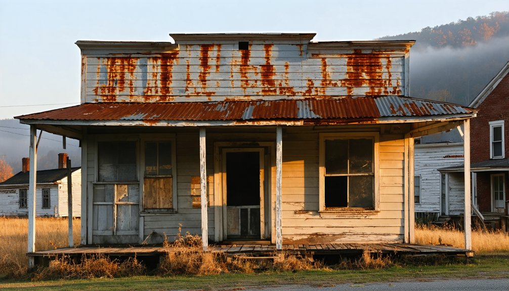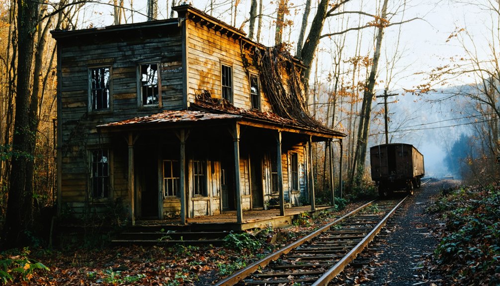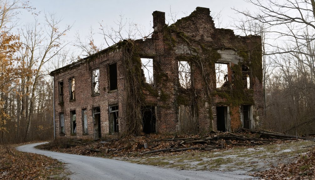
Planning a ghost town road trip to Fords Ferry, Kentucky means trading polished tourist stops for raw Ohio River history. You’ll drive into Crittenden County along Ford’s Ferry Road, where an early 1800s frontier crossing once thrived under James Ford’s watch. No buildings remain, but eroded banks, old road traces, and a landscape shaped by devastating floods tell the story powerfully. Pair your visit with nearby heritage sites, and you’ll uncover far more than you’d expect.
Key Takeaways
- Reach Fords Ferry via Marion, Kentucky, driving 12 miles north through Crittenden County along Ford’s Ferry Road toward the Ohio River.
- No structures remain, so focus on reading the landscape through old road traces, river erosion patterns, and environmental cues.
- Visit during spring or fall for mild weather, scenic views, and the most accessible road conditions.
- Pair the trip with nearby attractions like Cave-In-Rock State Park, Smithland, and regional flood history markers.
- Respect private land boundaries, check road conditions beforehand, and carry maps and supplies for self-guided exploration.
What Makes Fords Ferry a True Ghost Town?
Because a place has to actually exist before it can disappear, Fords Ferry earns its ghost town status the hard way — through a documented rise and a slow, flood-driven erasure. You’re not chasing myth here. You’re tracing a real settlement that grew around river commerce, serving traders, settlers, and travelers crossing between Kentucky and southern Illinois.
James Ford built his ferry in the early 1800s, and a working town followed — businesses, residents, a post office that ran until 1947. But flood impacts steadily dismantled what commerce had built.
The 1937 flood hit hardest, pushing most residents out for good. What’s left isn’t ruins you can photograph — it’s a historical record you can research, a river corridor you can drive, and a frontier story you can actually follow.
Who Was James Ford and How Did He Build a River Town?
James Ford didn’t just run a ferry — he built an economic foothold on one of the most traveled river corridors in the early American frontier.
James Ford didn’t just cross rivers — he turned them into engines of opportunity on the American frontier.
In the early 1800s, he turned a simple river crossing into a working settlement by capitalizing on river transportation demand between Kentucky and southern Illinois. His ferry operations drew traders, settlers, and travelers who needed reliable passage across the Ohio River.
Here’s what Ford established around that crossing:
- A functional ferry landing serving frontier commerce
- Taverns and stores supplying travelers moving west
- A small but growing resident population
- A named road network still referenced today
You’re looking at a man who read the landscape and built opportunity directly into the current.
The Rise and Fall of Fords Ferry as a Frontier Crossing
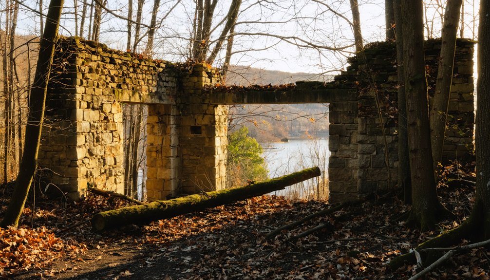
What Ford built didn’t stay small for long. Fords Ferry grew into a legitimate frontier hub, drawing traders, settlers, and travelers who needed a reliable Ohio River crossing. River commerce moved through here constantly — goods, people, and money flowing between Kentucky and southern Illinois. Taverns, stores, and a small but active population gave the town real economic weight.
But the river that built Fords Ferry eventually broke it. Repeated flooding eroded the town’s foundation over decades, and the catastrophic 1937 flood effectively ended what remained.
Shifting ferry routes and changing roads stripped away its strategic value. Outlaw legends tied to the Ohio River corridor added color to its story, but no legend could hold a town together against water and time.
How the 1937 Flood Finished Fords Ferry
When you look at Fords Ferry’s history, the 1937 flood wasn’t a sudden catastrophe striking a thriving town — it was the final blow to a settlement already losing ground.
Repeated flooding and the decline of river ferry traffic had been wearing the community down for decades before the Ohio River crested at record levels that winter.
Once the waters receded, most of what remained of civic and commercial life simply didn’t come back.
The Flood’s Devastating Impact
How does a town that survived decades of frontier hardship finally disappear? For Fords Ferry, the answer arrived in January 1937. The Ohio River’s catastrophic flood impact didn’t just damage structures — it dismantled an entire way of life. River erosion had already weakened the banks for years, but 1937 delivered the final blow.
Here’s what that disaster meant for the community you’re now exploring:
- Floodwaters submerged homes, businesses, and infrastructure simultaneously
- Residents evacuated and most never returned permanently
- River erosion continued reshaping the landscape after waters receded
- The town’s commercial foundation simply couldn’t recover
You’re visiting a place where nature exercised absolute authority. Understanding that power shift helps you read the landscape honestly — not as tragedy, but as raw historical reality.
A Town Already Weakened
By the time 1937’s floodwaters reached Fords Ferry, the town had already been losing ground for decades. River commerce had shifted, pulling trade toward better-connected crossings and leaving Fords Ferry with shrinking traffic and fewer reasons to stay relevant.
Newer roads rerouted travelers who once depended on the ferry, quietly draining the town’s economic purpose year by year.
Flood resilience requires a foundation worth protecting, and Fords Ferry had already lost much of its. Businesses had closed, residents had thinned out, and the post office was one of the last civic anchors still holding.
When the flood hit, it didn’t destroy a thriving community. It finished one already in retreat. That distinction matters when you’re tracing the real story behind Kentucky’s forgotten river towns.
After The Waters Receded
The 1937 flood didn’t just wash over Fords Ferry — it washed away whatever reason remained to rebuild. River commerce had already shifted, and flood impacts delivered the final blow. When the waters receded, most residents simply didn’t return.
Here’s what that collapse looked like on the ground:
- Homes and businesses sustained damage severe enough to abandon rather than repair.
- River traffic had already rerouted, eliminating the economic pull that once sustained the town.
- Flood impacts repeated over decades had drained community willingness to start over.
- The post office kept operating until 1947, but it served a ghost of a population.
You’re now looking at a place where history ended quietly, not dramatically.
What’s Left at Fords Ferry Today?
When you pull up to the site where Fords Ferry once stood, don’t expect ruins, restored buildings, or interpretive markers guiding you through a preserved past. River erosion claimed much of what the floods didn’t, and historical artifacts from the settlement are scattered across private collections and county archives rather than displayed on-site.
What you’ll find instead is open river geography, old road alignments that still carry the Ford’s Ferry name, and a landscape that rewards curiosity over convenience. Bring your own research, talk to locals, and cross-reference county historical records before you go.
The strongest experience here comes from understanding what once existed, then standing where it stood. That’s the freedom this kind of road trip offers — history on your own terms.
Best Resources for Researching Fords Ferry History

If you want to go beyond the roadside experience, Crittenden County’s local archives and libraries are your best starting point for primary documents, plat maps, and post office records tied to Fords Ferry.
The Kentucky Historical Society also holds statewide records that can fill in gaps around James Ford, frontier commerce, and the town’s long civic decline.
Don’t overlook family histories and community storytelling either, since local descendants often carry details that never made it into official archives.
Local Archives And Libraries
Because Fords Ferry left behind more historical memory than physical ruins, local archives and libraries become your most valuable stops on this road trip. Library collections and local archives in Crittenden County hold records that no roadside marker can offer.
Dig into these four resources before you hit the road:
- Crittenden County Public Library – houses regional history files, photographs, and family records tied to the Ford’s Ferry corridor
- Kentucky Historical Society – offers digitized documents covering western Kentucky frontier settlements
- University of Kentucky Special Collections – holds 19th-century county maps and river commerce records
- Kentucky State Archives – contains post office records documenting Fords Ferry’s civic timeline from 1854 to 1947
Go prepared with questions, and these collections will reward your curiosity.
Kentucky Historical Society Records
The Kentucky Historical Society rounds out your archival research with one major advantage the local library can’t always match: digitized access. Through their online Kentucky Digital Library portal, you can pull historical records, maps, and photographs without leaving home. That’s real freedom for road trip planning.
Their collections document river commerce along the Ohio corridor, giving you sharp economic context for why Fords Ferry existed and how it functioned as a frontier crossing. You’ll also find material tracing flood resilience patterns across western Kentucky settlements, helping you understand the environmental pressures that ultimately emptied the town.
Search specifically for Crittenden County records and James Ford references. The Society’s research staff can also guide you toward manuscript collections that aren’t fully digitized yet, so don’t hesitate to contact them directly.
Family And Community Storytelling
Beyond digitized archives, some of the richest Fords Ferry history lives in conversations rather than collections. Long-time Crittenden County families carry inherited knowledge about river commerce, daily life at the crossing, and outlaw legends that never made it into formal records. Tap these sources before you arrive:
- Contact local genealogical societies in Crittenden County for family histories tied to the ferry era.
- Visit small-town diners and hardware stores near Marion, where older residents often share firsthand generational stories.
- Attend county heritage events that surface oral histories about flooding, frontier trade, and river life.
- Reach out to local Facebook history groups where descendants post photographs, maps, and personal accounts regularly.
These conversations fill gaps that no archive can fully replace.
How to Get to Fords Ferry, Kentucky
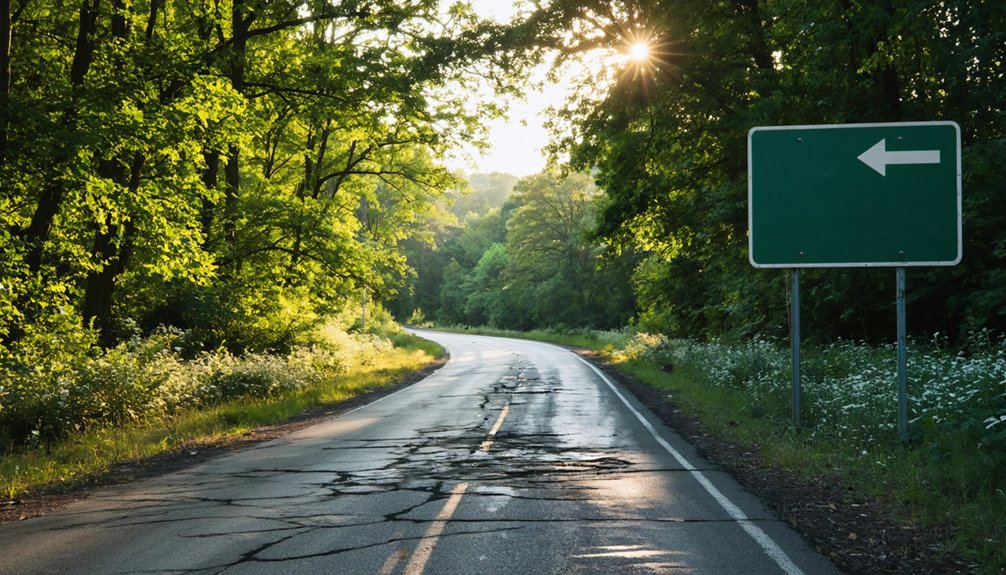
Reaching Fords Ferry puts you on a stretch of western Kentucky that still feels like frontier country. Head toward Marion, Kentucky, then drive approximately 12 miles north into Crittenden County toward the Ohio River.
Ford’s Ferry Road will guide you into the corridor where river commerce once drove everything, from trading posts to tavern stops serving travelers crossing between Kentucky and southern Illinois.
You won’t find a preserved town waiting at the end of the drive. What you’ll find is raw river geography, old road traces, and the quiet weight of outlaw legends tied to James Ford’s crossing.
Bring a map, check local county resources before you go, and treat the journey itself as part of the experience. The road tells the story.
Best Times of Year to Visit Fords Ferry
Spring and fall give you the most comfortable conditions for exploring the river corridor, with mild temperatures that make outdoor stops along old roads and overlooks far more enjoyable.
If you’re visiting in summer, pack water and plan your outdoor time for early morning, since heat and humidity along the Ohio River bottom can wear you down fast.
Winter keeps most casual visitors away, but it also strips the vegetation back enough to reveal the river geography and old landscape features that warmer months tend to hide.
Spring And Fall Visits
When you’re planning a visit to Fords Ferry, timing matters more than you might expect. Spring and fall deliver the clearest views of the river corridor and the most comfortable conditions for exploring this frontier legends territory on foot.
Here’s what each season offers:
- Spring brings rising Ohio River levels that echo the river commerce patterns that once defined this crossing.
- Wildflowers emerge along old road traces, making the landscape feel alive with frontier history.
- Fall foliage frames the river bluffs dramatically, rewarding photographers and history travelers equally.
- Cooler temperatures in both seasons let you linger longer at roadside historical markers without summer’s brutal humidity.
Avoid winter’s muddy access roads and summer’s oppressive heat. Spring and fall simply give you the best version of this forgotten river town.
Summer Heat Considerations
Summer along the Ohio River corridor hits hard, and Fords Ferry gives you no shade cover or visitor infrastructure to soften it. Temperatures routinely climb past 90°F, and humidity from the river makes exposure feel worse than the thermometer reads.
The river ecology shifts dramatically in summer, drawing insects and intensifying the shoreline heat. If you’re committed to a July or August visit, arrive before 9 a.m., carry more water than you think you need, and keep your exploration short.
The old ferry operation once thrived on summer river traffic, and you can still feel that raw, exposed energy standing near the crossing site. But enduring summer conditions here demands preparation, not spontaneity.
Spring and fall remain far smarter windows for this road trip.
Winter River Access
Winter strips the Ohio River corridor down to its bones, and Fords Ferry becomes oddly more readable as a historical site because of it. Bare trees open sightlines to the riverbank, letting you trace the old ferry traditions and crossing routes James Ford once ran.
Keep these winter access points in mind:
- River levels fluctuate sharply — check Corps of Engineers gauges before driving toward the bank.
- Low-traffic roads near Crittenden County become muddy after freeze-thaw cycles.
- Shorter daylight hours compress your exploration window, so arrive by midmorning.
- Cold, quiet conditions actually sharpen your sense of river folklore — you’ll hear the Ohio differently.
Winter rewards the traveler who prepares deliberately, offering raw, unfiltered access to Kentucky’s frontier river history.
Ohio River Heritage Sites Worth Adding to Your Route
Pairing Fords Ferry with nearby Ohio River heritage sites turns a single history stop into a fuller picture of how this corridor shaped early American settlement and trade. Crittenden County’s river commerce history connects naturally to broader regional landmarks along the Ohio.
Pairing Fords Ferry with nearby Ohio River heritage sites turns a single history stop into a fuller regional story.
Consider adding historic ferry crossings, early river towns, and flood history markers that document how repeated high water reshaped western Kentucky communities over generations.
Cave-In-Rock State Park in Illinois sits just across the river and ties directly into the same frontier outlaw lore surrounding Fords Ferry.
Smithland, Kentucky, where the Cumberland meets the Ohio, offers additional context for river trade routes.
Building your route around these connected sites lets you trace the full arc from active frontier corridor to quiet, flood-scarred landscape.
What to Know Before Visiting Abandoned Ohio River Towns
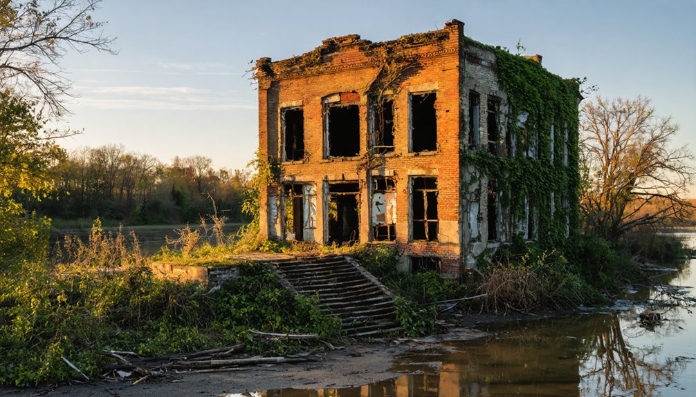
Before you head out to any of these sites, knowing what you’re walking into saves frustration and sets realistic expectations. Abandoned Ohio River towns like Fords Ferry aren’t polished tourist destinations — they’re raw slices of frontier river commerce and outlaw legends frozen in time.
- Bring your own research. Signage is minimal or nonexistent.
- Respect private land. Many sites sit on or near privately owned property.
- Check road conditions. Rural routes near river corridors flood and deteriorate seasonally.
- Temper your expectations visually. You’re chasing history, not ruins — the landscape tells the story more than standing structures do.
Go prepared, stay curious, and you’ll get far more out of the experience than any guided tour offers.
Frequently Asked Questions
Is There an Admission Fee or Permit Required to Visit Fords Ferry?
You won’t need an admission fee or permit — you’re free to explore! Support historic preservation and river conservation as you wander this hauntingly forgotten frontier crossing along Kentucky’s wild, untamed Ohio River corridor.
Are There Any Guided Tours Specifically Focused on Fords Ferry History?
You won’t find guided tours dedicated solely to Fords Ferry, but you can explore its historical landmarks and local legends independently, connecting with Crittenden County historical societies who’ll point you toward knowledgeable locals passionate about sharing this frontier river story.
Can You Camp Near the Fords Ferry Site Along the Ohio River?
You’ll find riverfront accommodations and primitive camping options near the Ohio River corridor, but check local camping regulations before you set up—Crittenden County’s rugged riverbanks offer a free-spirited basecamp for exploring Fords Ferry’s frontier history.
Is the Fords Ferry Site Accessible for Visitors With Mobility Limitations?
The Fords Ferry site isn’t wheelchair friendly, as it’s a rugged, undeveloped river corridor with limited mobility accessibility. You’ll encounter uneven terrain, but nearby road pulloffs let you absorb the frontier atmosphere comfortably.
Are There Local Festivals or Events Celebrating Crittenden County River Heritage?
Crittenden County won’t drown you in river festivals or heritage celebrations, but you’ll find local events honoring Ohio River history. Check county tourism boards and community calendars — they’ll connect you with authentic regional gatherings worth exploring.
References
- https://www.kyatlas.com/ky-fords-ferry.html
- http://ourforgottenpassages.blogspot.com/2015/03/a-look-back-at-fords-ferry-ky.html
- https://en.wikipedia.org/wiki/James_Ford_(pirate)
- https://en.wikipedia.org/wiki/List_of_ghost_towns_in_Kentucky
- https://wbkr.com/visit-these-20-creepy-kentucky-ghost-towns-for-a-halloween-road-trip/
- http://ourforgottenpassages.blogspot.com/2019/08/fords-ferry-road-was-dangerous-route.html
- http://www.illinoishistory.com/jamesford.html
- https://www.crittendenlibrary.org/ferry-tales
- https://kids.kiddle.co/James_Ford_(pirate)
- https://ilhardin.whalen-family.org/histories/1924outlaws307.html