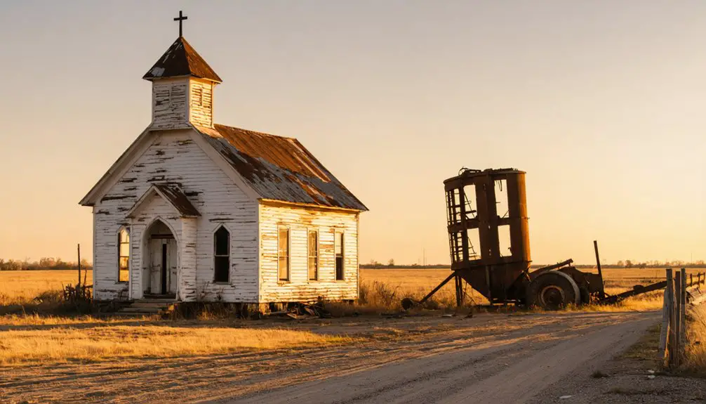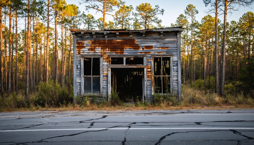
Clebit, Oklahoma sits about 11 miles west of Bethel in McCurtain County, deep in timber country with no tourist infrastructure in sight. You’ll navigate rural county roads through open countryside and forest landscapes to reach it. Spring or fall are your best windows for comfortable exploring. Bring offline maps, share your route with someone, and keep your gas tank full. There’s more to this ghost town’s story than what’s left standing.
Key Takeaways
- Clebit is located in McCurtain County, southeastern Oklahoma, roughly 11 miles west of Bethel, accessible via rural county roads requiring GPS or reliable maps.
- Spring and fall offer the best visiting conditions, with summer heat exceeding 95°F and winter ice potentially limiting road access.
- Download offline maps, carry paper backups, share your route with a trusted contact, and include the McCurtain County Sheriff’s Office as an emergency contact.
- Roads are rural, unpaved, and lightly maintained, so stick to paved county routes after rain to avoid getting stranded.
- Extend your trip by visiting nearby ghost towns Kosoma and Pine Valley, which share similar railroad and timber industry histories.
What Is Clebit, Oklahoma?
Tucked away in McCurtain County, Clebit is a small unincorporated community in southeastern Oklahoma with a past rooted in the timber industry. Named after sawmill foreman John Clebo, this former lumber settlement tells a story of boom-and-bust cycles that shaped the region.
Its historical significance stretches back to May 7, 1924, when a post office opened, marking Clebit’s brief moment as a functioning community. Like many southeastern Oklahoma timber towns, it declined after nearby forests were depleted and railroad operations ceased.
Today, preservation challenges make Clebit a fascinating rather than flashy destination. You won’t find polished museums or marked trails, but you’ll find raw history embedded in the landscape.
It sits roughly 11 miles west of Bethel at an elevation of 866 feet.
The Sawmill Foreman Who Gave Clebit Its Name
Behind every ghost town name is a story, and Clebit’s traces back to John Clebo, a sawmill foreman whose work in the timber industry left a permanent mark on McCurtain County’s map. Settlements like this one rarely carried grand titles — they carried names of the people who built them board by board.
When you visit places like Clebit, you’re participating in a form of historical preservation simply by showing up and paying attention. Community storytelling keeps figures like Clebo from disappearing entirely, even after the sawmill silenced and the railroad left.
You don’t need a museum to connect with that history. You just need curiosity and an open road. Clebit’s name alone carries the weight of an entire timber economy that once shaped southeastern Oklahoma.
How a 1924 Timber Camp Became a Ghost Town
When Clebit’s post office opened on May 7, 1924, it marked the community’s first real foothold as a functioning settlement — a small but significant sign that people had committed to staying.
The timber camp grew fast and collapsed faster. Here’s the rough arc you should know:
- Railroads made Clebit viable, hauling lumber through southeastern Oklahoma
- The Great Depression gutted demand, shrinking the population dramatically
- A Clebit-Pickens camp reopened in 1938, briefly reviving activity
- Railroad tracks were removed in 1972, ending the town’s last lifeline
Historical preservation efforts have kept local legends alive, giving road-trippers like you a real story to chase. Without those accounts, Clebit’s timeline would’ve vanished entirely.
What remains isn’t ruins — it’s memory, scattered across McCurtain County’s back roads.
Why Clebit Has Almost Nothing Left Standing
When the timber ran out, Clebit had nothing left to hold it together. The lumber company pulled its railroad tracks, workers moved on to the next camp, and the town simply ceased to function.
You won’t find much standing today because Clebit was never built to last — it was built to harvest.
Timber Boom Then Bust
Like so many Oklahoma timber towns, Clebit didn’t collapse overnight — it followed the same brutal boom-and-bust cycle that hollowed out dozens of southeastern Oklahoma communities throughout the early 20th century.
The timber industry built Clebit, and its absence dismantled it. Here’s the basic arc you should understand before visiting:
- Named after sawmill foreman John Clebo, the town existed purely to serve logging operations.
- A post office opened in 1924, marking Clebit’s most active period.
- The Great Depression accelerated decline, gutting demand and shutting down operations.
- Railroad tracks were removed by 1972, severing the town’s final economic lifeline.
Historical preservation efforts never gained traction here. Once the forests were depleted, workers left, buildings disappeared, and Clebit faded into McCurtain County’s rural landscape permanently.
Forests Depleted, Town Gone
Once the surrounding forests were stripped bare, Clebit had nothing left to sustain it. The railroad tracks that once carried timber out came up in 1972, and without that lifeline, the community simply dissolved. No mills running, no workers staying, no reason to remain.
Today, you won’t find historic landmarks marking the spot with dramatic flair. What you’ll encounter instead is quiet county road country and the weight of local legends passed down by those whose families lived through the camp’s final years.
The land reclaimed most of what the timber company built.
That erasure is exactly what makes Clebit worth the detour. You’re not visiting ruins — you’re standing where an entire way of life once operated and then vanished on the wind.
How to Get to Clebit From Bethel, Oklahoma
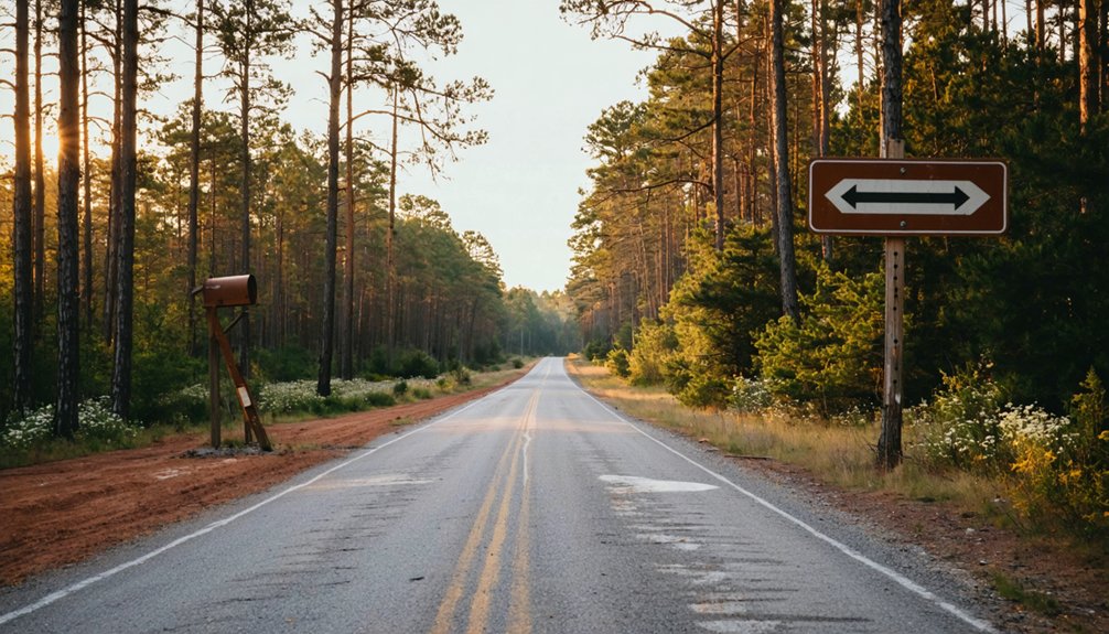
If you’re starting your journey from Bethel, Oklahoma, Clebit sits roughly 11 miles to the west. You’ll want to plan your route along the county roads that cut through McCurtain County’s rural southeastern landscape.
The drive is short, but you’re heading into unincorporated territory, so a reliable map or GPS will keep you on track.
Distance From Bethel
Clebit sits about 11 miles west of Bethel, making it a quick but rewarding detour through McCurtain County‘s rural backroads. You’ll navigate open countryside that once hummed with logging activity, connecting you directly to a community legacy worth exploring.
Keep these four points in mind before you head out:
- Distance: Plan for roughly 11 miles of county-road driving west of Bethel.
- Terrain: Expect rural, unhurried roads through southeastern Oklahoma’s timber landscape.
- Purpose: Approach Clebit as a historical preservation stop, not a developed attraction.
- Pace: Build in extra time to absorb the surroundings without rushing.
This short drive rewards curiosity over convenience, delivering an authentic slice of Oklahoma’s forgotten timber country straight through McCurtain County’s open backroads.
Route From Bethel
Getting to Clebit from Bethel is straightforward: head west along the county roads that cut through McCurtain County’s rural stretches for roughly 11 miles until the landscape opens into the quiet remnants of what was once a thriving timber settlement.
You’ll pass through southeastern Oklahoma’s characteristic mix of dense forest and open clearings, a setting that once supported an entire company-town economy built on sawmills and railroad lines.
As you drive, keep your eyes open for any historical artifacts that hint at Clebit’s lumber-era past. Preservation efforts in ghost-town communities like this one tend to be minimal, so the land itself becomes your primary guide.
Approach the route as part of the experience, not just the means to reach your destination.
When to Visit Clebit and McCurtain County
Spring and fall are your best bets for exploring Clebit and the surrounding McCurtain County backcountry, since the mild temperatures make long stretches of county-road driving far more comfortable than the sweltering Oklahoma summers.
Plan your visit around these four considerations:
- March–May brings cooler air and green timber country, ideal for historical preservation stops and photography.
- September–November offers crisp days perfect for tracing local legends tied to the old lumber camps.
- Summer heat regularly pushes past 95°F, making roadside exploration genuinely miserable.
- Winter brings occasional ice on rural McCurtain County roads, limiting safe access to remote unincorporated areas like Clebit.
You’ll move at your own pace, unscheduled and unhurried, which is exactly how ghost-town road tripping should feel.
Road Conditions, Cell Service, and Safety Near Clebit

Before you head out to Clebit, know that cell service in rural McCurtain County is spotty at best, so download your maps offline and don’t count on GPS to bail you out.
Stick to paved county roads where possible, since unpaved routes can turn treacherous after rain in this part of southeastern Oklahoma.
Always share your travel plans with someone you trust before you go, including your route, destination, and expected return time.
Expect Limited Cell Coverage
Once you leave the main highways behind and head into McCurtain County’s back roads toward Clebit, you’ll want to prepare for limited cell service and rough rural terrain.
Historical anecdotes from timber-era travelers remind us that self-reliance defined life out here, and that spirit still applies today.
- Download offline maps before departing — GPS signals drop fast on county roads.
- Charge your devices fully — you won’t find convenient charging stops nearby.
- Share your itinerary with someone reliable before heading out.
- Carry a paper map — local legends suggest these roads shift more than official records acknowledge.
Embracing the disconnected nature of this drive actually enhances the ghost-town experience, pulling you deeper into southeastern Oklahoma’s raw, untamed timber country.
Stick To Paved Roads
Although Clebit sits only about 11 miles west of Bethel, the roads leading to it can shift quickly from paved to unpredictable gravel and dirt tracks that challenge even seasoned rural drivers. Stick to paved routes whenever possible, especially after rainfall soaks McCurtain County’s red clay soil into something closer to a skid zone than a road. You’ll protect your vehicle and avoid getting stranded far from help.
Beyond safety, staying on established paths supports local preservation efforts by keeping foot and tire traffic away from fragile historical artifacts that may still rest along the landscape. Wandering off-road risks damaging what little physical evidence remains of Clebit’s timber past.
Respect the terrain, plan your route before you leave, and carry a paper map as backup.
Sticking to the right roads protects your vehicle, but protecting yourself means taking one more step before you leave: tell someone your travel plans. Clebit’s rural McCurtain County setting means help isn’t always close. Before heading out to explore this site of historic preservation and cultural significance, share your itinerary with a trusted contact.
- Name your route — specify which county roads you’re taking toward Clebit.
- Set a check-in time — agree on when you’ll confirm you’ve arrived safely.
- Share your return window — give a realistic timeframe for when you’ll head back.
- List emergency contacts — include McCurtain County Sheriff’s Office in your notes.
One conversation before departure keeps your freedom intact and your adventure on track.
Ghost Towns Near Clebit Worth Adding to Your Route
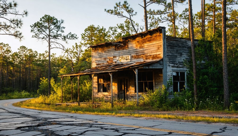
Why stop at one ghost town when southeastern Oklahoma has a whole cluster worth exploring? Once you’ve walked Clebit’s quiet roads, extend your route to nearby Kosoma and Pine Valley, two other former lumber towns that share the same rise-and-fall story rooted in railroad remnants and vanishing timber economies.
These communities collapsed around the same era, making them natural companions on a single road trip. Historical preservation efforts across McCurtain County remain modest, so expect raw, understated landscapes rather than polished exhibits. That rawness is exactly the draw.
You’re tracing the actual bones of company-town life, not a curated version of it. Map your stops in advance, keep a full tank, and treat each site as one chapter in southeastern Oklahoma’s larger, quieter ghost-town story.
Using Clebit as a Base for a McCurtain County Day Trip
Clebit itself won’t hold you for more than an hour, but that’s the point — it sits at the center of a McCurtain County loop worth spending a full day on. Build your route around local legends, timber heritage, and historical preservation stops that reward curious travelers.
- Drive the county roads connecting Clebit to nearby ghost towns like Kosoma and Pine Valley.
- Stop at roadside markers tied to Oklahoma’s lumber-camp era and railroad history.
- Explore McCurtain County’s forested backroads, where the landscape itself tells the story.
- Talk to locals — they carry oral histories that no signpost captures.
You’re not chasing museums here. You’re chasing context, and McCurtain County delivers it mile by mile.
How to Document a Ghost Town With No Visible Ruins
When a ghost town leaves no ruins behind, your documentation tools shift from photography to research, conversation, and observation. Clebit won’t hand you crumbling walls, so you document what replaced silence — tree lines, road patterns, and soil disturbances that hint at former foundations.
For photography tips, shoot the landscape itself: overgrown clearings, old road grades, and county signage that confirms you’re standing somewhere historically significant. These images tell honest stories without fabricating drama.
Historical preservation doesn’t require a standing building. Record GPS coordinates, capture wide establishing shots, and log notes about what local sources describe. Talk to McCurtain County residents — oral history fills gaps that maps can’t. Your collected record becomes part of the preservation effort, keeping Clebit’s timber-town story alive on your own terms.
Frequently Asked Questions
What Area Code Covers Clebit and the Rest of Mccurtain County?
Like a single key opening a whole region, 580 covers Clebit and McCurtain County. You’ll dial it when chasing local legends and historic landmarks across southeastern Oklahoma’s hauntingly beautiful ghost-town trails.
How Does Oklahoma Officially Define a Ghost Town by Population Loss?
You’ll find Oklahoma defines a ghost town as any place that’s lost at least 80% of its peak population. That threshold reveals fascinating historical preservation stories and exciting tourism opportunities you won’t want to miss exploring!
What Elevation Is Clebit, Oklahoma Located At?
You’ll find Clebit sitting at 866 ft (264 m) elevation, where historical landmarks and local legends of Oklahoma’s timber past come alive. It’s a freeing, open landscape perfect for your ghost-town exploration adventure.
When Exactly Did the Clebit-Pickens Timber Camp Railroad Tracks Get Removed?
Like a final curtain call on a grand stage, the railroad history ended in 1972, when the tracks were removed — a defining moment of timber industry decline that you can trace back to the camp’s 1938 beginning.
Which Other Southeastern Oklahoma Lumber Towns Declined Alongside Clebit?
You’ll find that Kosoma and Pine Valley share Clebit’s story — all three towns reflect identical historical lumber industry and town decline patterns, fading during the Great Depression when southeastern Oklahoma’s timber boom finally collapsed around them.
References
- https://www.okhistory.org/publications/enc/entry?entry
- https://www.facebook.com/4StateNewsandWeather/posts/the-ghost-town-of-picher-oklahoma-who-has-been-here/1273791271553125/
- https://www.travelok.com/articles/oklahomaghosttowns
- https://en.wikipedia.org/wiki/List_of_ghost_towns_in_Oklahoma
- https://www.rideok.com/ghost-towns-of-oklahoma-cloud-chief/
- https://www.okhistory.org/publications/enc/entry?entry=GH002
- https://en.wikipedia.org/wiki/Clebit
- https://kids.kiddle.co/Clebit
- http://sites.rootsweb.com/~oktttp/ghost_towns/ghost_towns.htm
- https://www.youtube.com/watch?v=LFdjxqwkMts