You’ll find Danner tucked between Jordan Valley and Burns Junction in Oregon’s remote southeastern corner, where sagebrush silence replaces cell service. This true ghost town traces back to the old Skinner toll road corridor, and it shelters the gravesite monument of Jean Baptiste Charbonneau, Sacagawea’s son. Pack water, a paper map, and layered clothing before you head out. There’s far more history buried in this forgotten landscape than most travelers ever discover.
Key Takeaways
- Danner, Oregon, is a true ghost town along the old Skinner toll road corridor, located between Jordan Valley and Rome in southeastern Oregon.
- Pack water, snacks, a paper map, flashlight, and first-aid kit, as cell service is poor and help may be an hour away.
- Key stops along the route include Arock, Rome, Burns Junction, and Jordan Valley, each offering unique history and unspoiled scenery.
- Visit the gravesite and monument of Jean Baptiste Charbonneau, Sacagawea’s son, a notable historical landmark near Danner.
- Dress in layers for cold mornings and hot afternoons, and watch for wildlife crossings, including pronghorn and rattlesnakes, throughout the journey.
Danner, Oregon: Ghost Town, Monument, and Open Road
When you turn off the main road and head into the quiet expanse of southeastern Oregon, Danner doesn’t announce itself — it simply appears, or rather, what’s left of it does. Agricultural decline hollowed this place out long before you arrived, leaving behind modern remnants that whisper more than they shout. The post office closed in 1942, and the town’s pulse faded with it.
What draws you here isn’t crumbling infrastructure — it’s the monument marking the gravesite of Jean Baptiste Charbonneau, son of Sacagawea, standing quietly against an open sky. This land once carried travelers along the old Skinner toll road.
Now it carries you, unhurried, through a landscape that rewards curiosity over convenience and reminds you that freedom sometimes looks like an empty road leading somewhere forgotten.
Where Danner Sits on the Southeastern Oregon Map
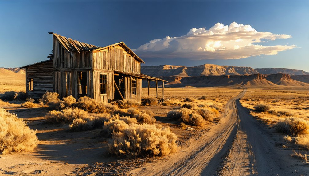
Tucked between Jordan Valley and Rome in the remote southeastern corner of Oregon, Danner occupies a stretch of backroads that most drivers never find. You won’t encounter modern amenities here — no gas stations, no cell signal, just sagebrush, silence, and the kind of local flora that’s reclaimed whatever the settlers left behind.
No gas stations, no cell signal — just sagebrush, silence, and a ghost town that most drivers never find.
This is freedom on your own terms.
Before you roll out, orient yourself with these four geographic markers:
- Jordan Valley — your eastern launch point
- Danner — the ghost town at the heart of the route
- Arock and Rome — natural westward continuations
- Burns Junction — your practical stopping point
Each mile west pulls you deeper into Oregon’s forgotten corridor, where the land remembers everything and owes you nothing.
The History That Turned Danner Into a Ghost Town
Danner’s story stretches back further than its 1920 post office suggests, rooting itself in an older network of toll roads and pioneer movement that once made this corner of southeastern Oregon feel alive with purpose.
You can trace that lineage through the Skinner toll road corridor, which eventually evolved into the Idaho, Oregon, Nevada Highway and carried settlers, freight, and ambition across the high desert.
When the post office finally closed in 1942, it marked the quiet end of a community that had already been fading as the region’s transportation priorities shifted and people moved on.
Danner’s Post Office Era
For a town that barely lasted two decades on the map, Danner left behind a surprisingly clear paper trail. Before modern infrastructure swallowed these backroads whole, Danner functioned as a genuine stop where mail moved and people gathered among the local flora of the high desert.
Its post office timeline tells a quiet but honest story:
- 1920 – Danner’s post office officially opens
- 1922 – The town earns a named reference in regional records
- 1942 – The post office closes permanently
- Today – Only history remains where commerce once stood
Those 22 years mark Danner’s entire lifespan as a functioning settlement. You’re looking at a place that existed just long enough to matter, then vanished into Oregon’s wide, unhurried silence.
From Toll Road Origins
Behind that post office closure is a longer story — one that starts not with settlers or mail routes, but with a toll road carved through some of the hardest terrain in the American West. Skinner’s toll road pushed through this remote southeastern corner long before Danner had a name, funneling travelers and freight across brutal desert ground.
Local legends from that era still echo through the landscape, tales of Civil War-era settlement and westward ambition baked into the dust. Eventually, that rough corridor evolved into the Idaho, Oregon, Nevada Highway, threading communities together before highways made them obsolete.
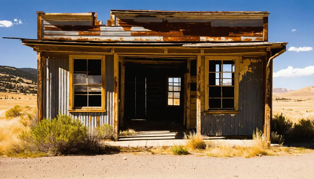
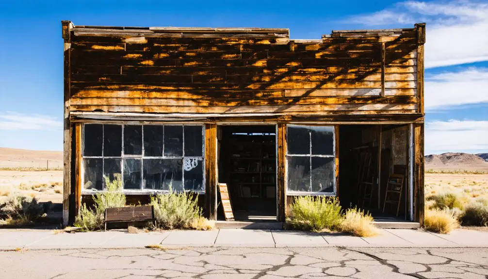
Today, abandoned structures mark where commerce and movement once justified a town’s existence. You’re not just visiting a ghost town — you’re standing inside a road’s forgotten history.
Jean Baptiste Charbonneau’s Monument and the Lewis and Clark Connection
When you pull up to Danner, one landmark rises above the ghost town’s quiet decay: a monument marking the gravesite of Jean Baptiste Charbonneau, the son of Sacagawea.
He traveled the American West as an infant strapped to his mother’s back during the Lewis and Clark Expedition, and he ended his remarkable life in this remote corner of southeastern Oregon.
Standing at that marker, you’re not just visiting a forgotten town — you’re touching a thread of American history that stretches all the way back to 1804.
Charbonneau’s Monument At Danner
What draws a ghost town chaser to a remote stretch of southeastern Oregon backroads isn’t always crumbling storefronts or rusted machinery — sometimes it’s a single monument marking a life that began with one of America’s most celebrated expeditions.
At Danner, you’ll find the gravesite of Jean Baptiste Charbonneau, son of Sacagawea, standing quietly against the high desert landscape.
Plan your visit around these four essentials:
- Respect local wildlife — rattlesnakes and raptors share this terrain
- Check seasonal weather before departing; conditions shift fast
- Photograph the monument during golden hour for best visibility
- Bring water — there’s nothing nearby
This forgotten corner of Oregon carries extraordinary weight. You’re not just passing through; you’re standing where history quietly rests.
Lewis And Clark Legacy
Though Jean Baptiste Charbonneau never crossed the continent as a guide the way his mother did, his life carried the Lewis and Clark legacy westward long after the expedition disbanded — and it ended here, in the high desert silence of southeastern Oregon, where a monument now marks his final resting place.
You won’t find modern amenities nearby, just open sky, sagebrush, and the sparse local flora of the Great Basin stretching endlessly in every direction. That emptiness isn’t a drawback — it’s the point.
Standing at his marker, you feel the weight of a lineage that shaped American exploration. Sacagawea’s son lived a remarkable frontier life, and Danner became his unlikely final chapter, quietly preserving a thread of history most travelers never think to follow.
How an Old Toll Road Became a Forgotten Oregon Highway
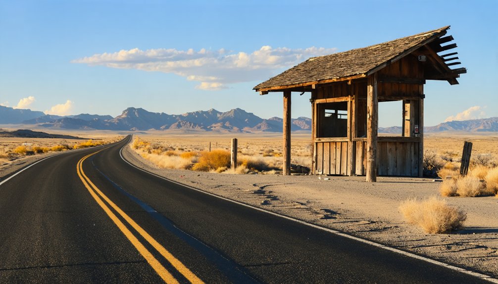
Before the asphalt and the interstate, travelers crossing this stretch of southeastern Oregon paid for the privilege. The Skinner toll road carved through this raw landscape, evolving over decades into something bigger — the Idaho, Oregon, Nevada Highway.
Local legends cling to these forgotten corridors like dust to old wagon wheels. You can almost feel it driving past the abandoned structures still dotting the route.
Here’s how the road transformed:
- Skinner establishes a private toll corridor
- Settlers push through during Civil War-era expansion
- Regional traffic demands a formal highway designation
- The Idaho, Oregon, Nevada Highway absorbs the old route
That evolution left Danner stranded between eras — a place history passed through but never stayed.
The Best Route From Jordan Valley to Burns Junction
Knowing the road’s history makes it easier to follow its ghost. You’ll start in Jordan Valley, where modern signage still points you west toward a landscape that hasn’t changed much since settlement days.
Knowing the road’s history makes it easier to follow its ghost.
From there, the route carries you through Danner, where sagebrush and native local flora press close to the road’s edge, then onward to Arock and Rome before finishing at Burns Junction.
It’s a full-day drive through open country, and you’ll feel the distance in your bones. Carry a paper map — cell service disappears fast out here.
Each small stop builds the story, mile by quiet mile, connecting forgotten communities across southeastern Oregon’s wide, unhurried terrain. This isn’t a shortcut. It’s the whole point.
The Monument, the Landscape, and What Actually Survives in Danner
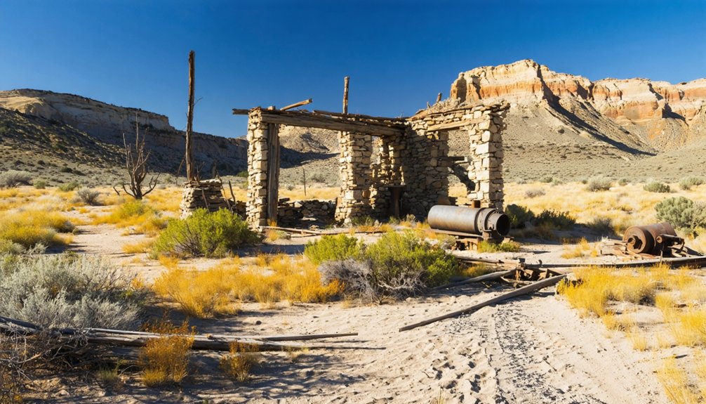
When you pull off the road at Danner, there’s no main street waiting for you, no collapsed storefront or rusted water tower — just open land, sagebrush, and the quiet that fills every ghost town that time fully swallowed. No modern infrastructure exists here. Local wildlife owns this stretch now.
What actually survives comes down to four things worth seeking:
- The gravesite and monument of Jean Baptiste Charbonneau, son of Sacagawea
- The open high-desert landscape shaped by the old Skinner toll road corridor
- The emotional weight of a postal history that ran only from 1920 to 1942
- The faint trace of a route that became the Idaho, Oregon, Nevada Highway
You’re not visiting a place — you’re reading one.
What to Pack for a Remote Southeastern Oregon Road Trip
Southeastern Oregon doesn’t forgive the unprepared — pack water, snacks, a paper map, a flashlight, and a first-aid kit before you leave the last town behind. Cell service vanishes fast out here, and the nearest help can be an hour away on empty roads.
Pack water, a map, and a first-aid kit — out here, the nearest help is an hour away.
Weather conditions shift without warning; mornings run cold even in summer, and afternoon heat can punish an unprepared traveler. Layer your clothing accordingly.
Watch for local wildlife crossing the road at dawn and dusk — pronghorn and rattlesnakes both claim this territory.
Keep your tank full whenever you pass a pump, because stations are rare.
This isn’t a trip you improvise. You’re chasing forgotten history through open country, and the land demands the same respect the old pioneers learned the hard way.
Other Southeastern Oregon Ghost Towns Worth Adding to Your Route
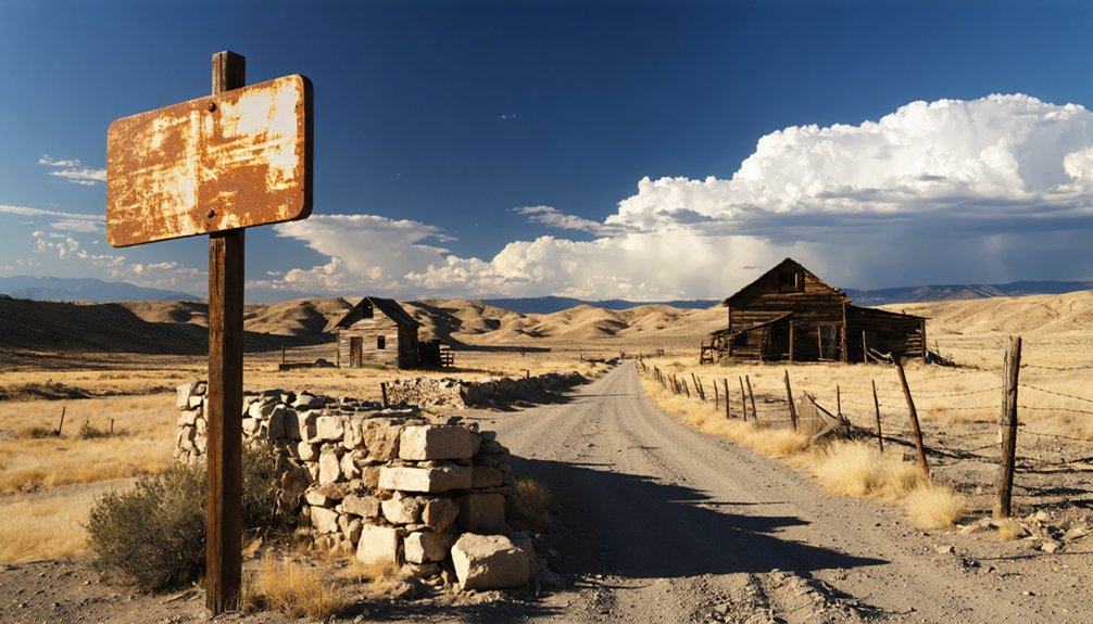
Once you’ve pulled away from Danner, the road keeps offering more — and southeastern Oregon rewards the curious with ghost towns that carry their own quiet weight. Don’t expect modern amenities or crowds. Expect silence, local wildlife crossing open range, and the kind of history that settles into your chest.
Add these stops to stretch your route:
- Arock — A faded ranching settlement sitting close to the Owyhee River corridor.
- Rome — Striking red columns of rimrock frame a town barely holding on.
- Burns Junction — A crossroads where two-lane highways meet and not much else remains.
- Jordan Valley — Your logical anchor point, steeped in Basque heritage and frontier memory.
Each stop deepens the story Danner started.
Frequently Asked Questions
Is There Cell Service Available Along the Danner, Oregon Route?
Don’t count on cell service along this remote stretch — connectivity options fade fast in southeastern Oregon’s wide-open backroads. You’ll trade digital noise for honest silence, dusty horizons, and the liberating freedom of truly getting lost.
Are There Any Entrance Fees to Visit the Charbonneau Monument?
You won’t spend a single penny to visit this legendary piece of history! The Charbonneau monument’s historical significance means you can explore freely—monument preservation keeps this sacred site open, connecting you to Oregon’s untamed, unforgettable past.
What Is the Closest Gas Station to Danner, Oregon?
You’ll want to fuel up in Jordan Valley before chasing Danner’s historical landmarks and ghost-town silence. It’s your last reliable stop for gas — and local dining — before the open, untamed backroads swallow you whole.
Is the Road to Danner, Oregon Paved or Unpaved?
Buckle up — you’ll navigate unpaved backroads to reach Danner’s historical landmarks and scenic viewpoints. The remote gravel routes demand preparation, but they’ll reward your free spirit with untouched southeastern Oregon wilderness that’s beautifully frozen in forgotten time.
What Is the Best Time of Year to Visit Danner?
Late spring or early fall’s your best bet. You’ll dodge harsh desert extremes, and the mild seasonal weather lets you linger at historical landmarks like the Charbonneau monument without rushing through this beautifully forgotten, wide-open Oregon backcountry.
References
- https://www.youtube.com/watch?v=GaS3xjrQ-_I&vl=en-US
- https://visiteasternoregon.com/poi/danner/
- https://traveloregon.com/things-to-do/culture-history/ghost-towns/danner/
- https://www.youtube.com/watch?v=GaS3xjrQ-_I
- https://www.facebook.com/groups/ForgottenOregon/posts/2075337966067464/
- https://thatoregonlife.com/2016/04/road-trip-ghost-towns-eastern-oregon/
- https://traveloregon.com/things-to-do/culture-history/ghost-towns/
- https://myfamilytravels.com/this-oregon-road-trip-through-ghost-towns-is-packed-with-creepy-history/