Plan your ghost town road trip to Douthat, Oklahoma by heading about 2 miles south of Picher in Ottawa County. This forgotten mining settlement earned its name in 1917 and later became a casualty of the lead-zinc industry’s collapse. You’ll find overgrown ruins, scarred terrain, and haunting echoes of the Tri-State mining era. Bring sturdy boots, water, and a camera — there’s far more to this eerie landscape than first meets the eye.
Key Takeaways
- Douthat sits about 2 miles south of Picher in Ottawa County, Oklahoma, making Picher a practical starting point for your road trip.
- Roads near Douthat are unmaintained and can deteriorate after rain, so check conditions before visiting.
- Wear sturdy boots, carry water, pack snacks, and bring a charged phone and paper map for safety.
- Nearby ghost towns like Picher, Cardin, and Treece share similar toxic mining legacies, perfect for a multi-stop itinerary.
- No parking facilities or interpretive signs exist on-site, so bring a camera and prepare for a self-guided exploration.
What Is Douthat, Oklahoma?
If you’re drawn to forgotten places with layered histories, Douthat, Oklahoma is worth adding to your road trip list. Sitting about 2 miles south of Picher in Ottawa County, this ghost town grew out of the region’s historical mining boom, specifically the lead-zinc operations that defined the Tri-State mining district.
Originally called Century, the settlement took the Douthat name when its post office opened on March 17, 1917, honoring townsite owner Zahn A. Douthat.
The settlement was originally known as Century before taking the Douthat name when its post office opened in 1917.
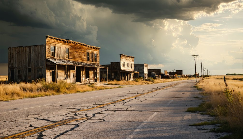
Once the mining economy collapsed, the town followed. Today, you’ll find abandoned structures swallowed by weeds and brush, faint street traces, and a landscape shaped by decades of industrial activity and neglect.
Douthat is also tied to the Tar Creek Superfund site, adding a sobering environmental layer to its story.
How to Reach Douthat by Road
Getting to Douthat is straightforward once you’re oriented in northeastern Oklahoma. Head toward Ottawa County and use Picher as your landmark, since Douthat sits about 2 miles to its south. Local roads connect the area, so you won’t rely on a major highway to reach the site.
GPS listings often place Douthat within the Miami, Oklahoma postal region, which helps when you’re finding your way.
Keep visitor safety in mind before you arrive. Roads near abandoned mining sites can deteriorate, and the terrain reflects decades of industrial disturbance. Stick to established paths and avoid unstable ground.
Historical preservation matters here too. Treat what little remains with respect, since Douthat’s remnants represent a fading chapter of Oklahoma’s Tri-State mining era. Leave the site exactly as you found it.
Road Conditions, Weather, and What to Bring
Roads near Douthat aren’t maintained for regular traffic, so you’ll want to check conditions before heading out, especially after rain when unpaved stretches can turn muddy and slow. Wear sturdy boots since the ground reflects decades of environmental impact from mining operations, leaving uneven terrain and hidden debris throughout the site.
Summer heat in northeastern Oklahoma hits hard, so carry more water than you think you’ll need. Winters bring cold winds off the plains, making layers essential. Pack a camera if you’re drawn to mining history and industrial decay — the landscape tells a raw, honest story.
Keep your visit self-sufficient. Services nearby are scarce, so bring snacks, a charged phone, and a paper map. The freedom here comes with real responsibility for your own safety.
What’s Left to See at Douthat Today
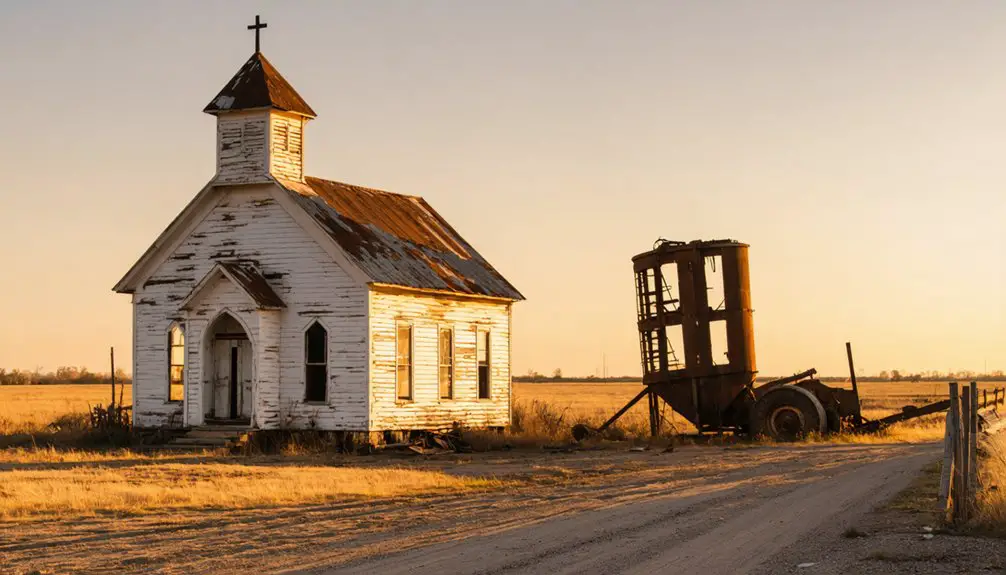
What’s left at Douthat won’t impress anyone expecting a preserved historic district, but that’s exactly what makes it compelling. Historical preservation never happened here, and that raw honesty is invigorating.
You’ll find a landscape reclaimed by nature, shaped by decades of abandonment and mining-era disturbance.
Your photography opportunities are genuinely unique here. Focus your lens on:
- Overgrown building remnants half-swallowed by brush and weeds
- Faint road traces that once connected a working mining community
- The open, scarred landscape reflecting Tar Creek Superfund history
You won’t find interpretive signs or parking lots. What you’ll find is unfiltered history you can walk through and document yourself.
Bring water, wear sturdy shoes, and move at your own pace.
Which Ghost Towns Near Douthat Are Worth a Stop?
Since Douthat sits in one of Oklahoma’s richest ghost-town corridors, you won’t have to drive far to find more abandoned history worth your time. Picher, just two miles north, delivers some of the region’s most dramatic mining history, including massive chat piles and haunting abandoned structures frozen in post-Superfund silence.
Cardin, another nearby casualty of the lead-zinc collapse, offers a similarly eerie atmosphere. Cross into Kansas and you’ll find Treece, which shares the same toxic legacy and ghostly landscape.
Commerce, Oklahoma, sits close enough for a quick detour and carries its own layered past. Together, these towns form a compact circuit that rewards curious travelers who want to move freely through forgotten places without backtracking across the state.
Frequently Asked Questions
Is It Legal to Enter or Explore the Douthat Ghost Town Site?
You’ll want to verify local access rules before urban exploration at Douthat, as land ownership affects legality. Check with Ottawa County authorities first, but you can still find rewarding photography opportunities around the site’s perimeter.
Are There Any Guided Tours Available for the Douthat Area?
You won’t find formal guided tours here, but you’re free to explore independently, uncovering historical artifacts and local legends on your own terms — a self-directed adventure that’s perfect for free-spirited ghost town enthusiasts.
Can Visitors Camp Overnight Near the Douthat Ghost Town Location?
Like a blank map waiting to be written, camping regulations here are unclear. You’ll want to prioritize visitor safety by checking with local Ottawa County authorities before pitching a tent near Douthat’s abandoned, Superfund-affected grounds.
Has Douthat Appeared in Any Documentaries or Ghost Town Publications?
You’ll find Douthat featured in ghost town publications tied to urban exploration and historical preservation efforts. It’s gained attention through Oklahoma ghost town guides, drawing free-spirited adventurers enthusiastic to document its abandoned, mining-scarred landscape before time erases it completely.
Are There Any Local Historians or Groups Preserving Douthat’s Mining History?
Like a fading photograph, Douthat’s story risks disappearing. You’ll find historical preservation efforts through local organizations like the Ottawa County Historical Society, who actively keep the mining era’s memory alive for freedom-seeking explorers like you.
References
- https://en.wikipedia.org/wiki/Douthat
- https://www.ghosttowns.com/states/ok/douthat.html
- https://dbpedia.org/page/Douthat
- https://everafterinthewoods.com/oklahoma-ghost-towns-where-time-stands-still-and-beauty-lingers/
- https://oktttp.genealogyvillage.com/ghost_towns/ghost_towns.htm
- https://mapcarta.com/26675676
- https://www.ghosttowns.com/states/ok/ok.html
- https://www.howtopronounce.com/douthart
- https://www.reddit.com/r/oklahoma/comments/wzd3js/abandoned_places_in_oklahoma_for_photography/
- https://en.wikipedia.org/wiki/Picher