To plan your ghost town road trip to Dyersville, Colorado, head southeast from Breckenridge along Boreas Pass Road, then turn onto Indiana Gulch’s FR 593. You’ll need a 4WD or high-clearance vehicle for the final approach to this remote site sitting nearly 11,000 feet up. Summer’s your best window, as snow locks the road most of the year. A dozen roofless cabins and rusted relics have waited since 1908, and there’s far more to discover ahead.
Key Takeaways
- Dyersville sits nearly 11,000 feet above sea level, six miles southeast of Breckenridge, accessible via Boreas Pass Road off Highway 9.
- A 4WD or high-clearance vehicle is required, particularly for the final half-mile stretch along FR 593 through Indiana Gulch.
- Visit in summer, as roads typically clear by late June; winter access is nearly impossible due to snow.
- The ghost town features 10-12 ruined cabins, a livery stable, boarding house, and scattered mining relics untouched since 1908.
- Bring a map, extra fuel, and supplies, as Dyersville has no parking, restrooms, signage, or visitor amenities.
Why This High-Altitude Ghost Town Rewards the Detour?
Although Dyersville sits nearly 11,000 feet above sea level in a remote gulch southeast of Breckenridge, it’s worth every mile of rough road you’ll navigate to reach it.
At nearly 11,000 feet, Dyersville rewards every rugged mile of rough road required to reach it.
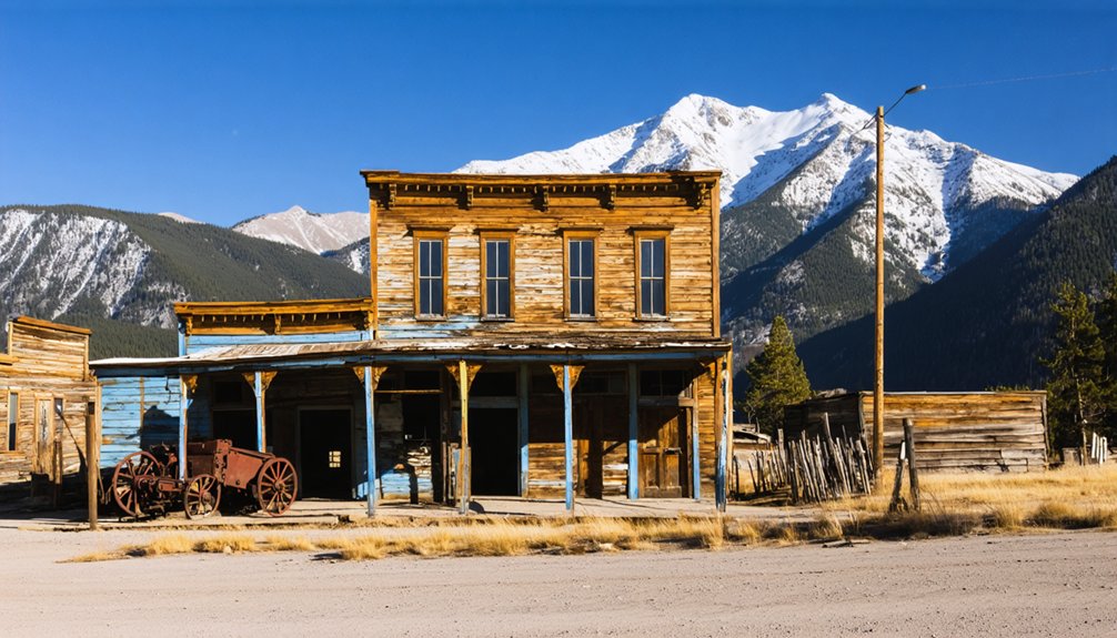
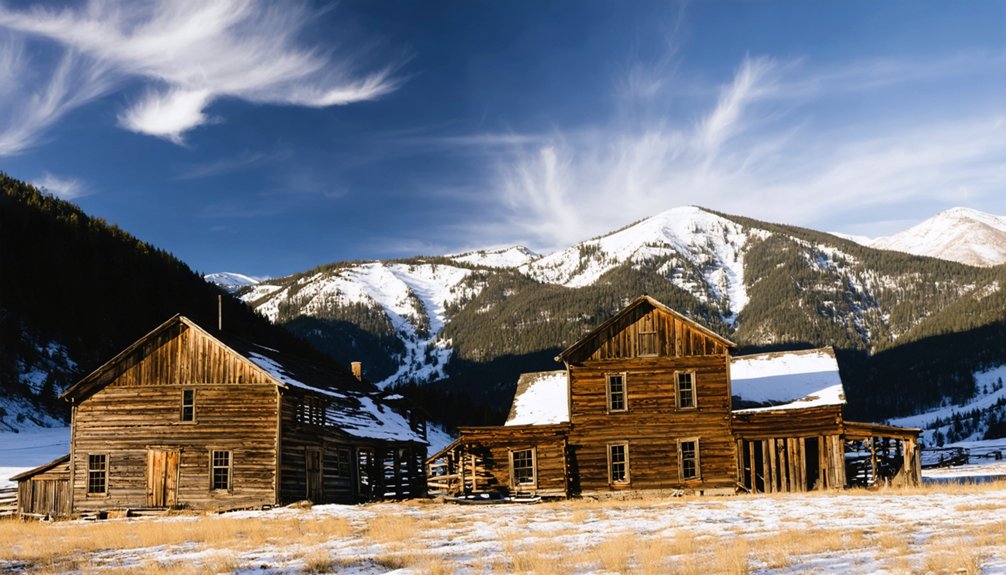
You’ll find ten to twelve crumbling cabins, roofless walls, and remnants of a livery stable frozen in time since mining ended in 1908.
Local legends tied to Father John Lewis Dyer — frontier preacher turned prospector — add a compelling human layer to the ruins.
The high-altitude setting rewards you beyond history, too. Wildlife viewing opportunities along Indiana Creek frequently include deer, elk, and other mountain species moving through the gulch.
Unlike crowded heritage parks, Dyersville delivers raw, unfiltered exploration.
You set your own pace, wander freely, and experience Colorado’s mining past exactly as nature has reclaimed it.
How to Reach Dyersville via Boreas Pass
Getting to Dyersville starts with one of Colorado’s most scenic mountain routes — Boreas Pass Road, which branches off Highway 9 just south of Breckenridge. Follow it southeast until you spot the U.S. Forest Service sign marked “Indiana Creek, Pennsylvania Creek,” your key turn into Indiana Gulch.
From there, you’ll travel FR 593, a 4WD road that winds through terrain rich with historical significance — this same corridor once carried ore trains out of active mines.
The final half-mile demands a high-clearance or four-wheel-drive vehicle, so plan accordingly.
You’re roughly six miles southeast of Breckenridge when the mining remnants come into view — roofless cabins, crumbling log walls, and scattered equipment reclaimed by the mountain.
Summer’s your best window; winter snow makes access unpredictable and often impossible.
What Survives at the Dyersville Ghost Town?
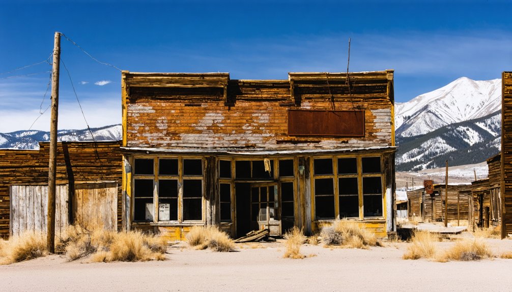
What’s left of Dyersville won’t disappoint history hunters willing to make the drive. You’ll find ten to twelve cabin ruins scattered across Indiana Gulch, their roofless log walls still standing against the mountain backdrop. A crumbling livery stable and the remains of a boarding house round out the townsite, giving you a raw sense of how miners once lived at nearly 11,000 feet.
Scattered mining relics and rusty equipment sit where workers left them when operations shut down in 1908. Krigbaum’s Angels Rest adds another layer of ruins just a short walk from the old town center. These aren’t manicured exhibits behind velvet ropes. Dyersville is an open, unguarded site where you explore freely, move at your own pace, and connect directly with Colorado’s frontier mining past.
Best Time to Visit and What Vehicle You’ll Need
Timing your visit right makes all the difference at Dyersville. Summer is your best window — snow clears the rough road by late June, giving you a genuine shot at reaching the site without getting stuck.
Plan your trip for summer — roads clear by late June, giving you a real shot at reaching Dyersville without incident.
Don’t expect visitor amenities out here; there are none. No parking lots, no restrooms, no interpretive signs explaining the historical significance of Father Dyer’s 1881 settlement. You’re on your own, and that’s exactly the appeal.
You’ll want a 4-wheel-drive or high-clearance vehicle for FR 593, especially the final half-mile into Indiana Gulch. A standard car won’t cut it.
Winter access is essentially impossible.
Come prepared with a map, fuel, and a sense of adventure — Dyersville rewards travelers who respect the terrain and plan accordingly.
What to Combine With a Dyersville Day Trip?
Because Dyersville sits just six miles southeast of Breckenridge, you can easily build a full day around the ghost town without much backtracking.
Start your morning on Boreas Pass, where historical anecdotes about Father Dyer’s frontier ministry and mail-carrying snowshoe routes add real depth to the drive. The pass itself delivers sweeping alpine views before you drop into Indiana Gulch.
Watch for wildlife encounters along the creek corridor — moose, elk, and mule deer frequently move through that drainage. After exploring the cabin ruins, head into Breckenridge for lunch and a stop at the local history museum, which expands on Summit County’s mining era.
You’ll leave with a layered picture of Colorado’s past rather than just a single isolated stop.
Frequently Asked Questions
What Are the GPS Coordinates for Navigating Directly to Dyersville?
Plug 39°25′14″N, 105°59′02″W into your GPS—your digital compass—and chase Dyersville’s forgotten ruins. Pack road trip essentials, and you’ll discover ghost town photography gold waiting at 10,879 feet of breathtaking, untamed Colorado freedom.
Who Exactly Was Father Dyer, and Why Is the Town Named After Him?
You’ll find Father Dyer was a Methodist minister and prospector whose historical significance shaped this remote settlement. He founded Dyersville in 1881, and his cultural impact as a frontier preacher earned the town his legendary name.
When Did Mining Operations at the Warrior’s Mark Mine Finally End?
After 27 active years, you’ll discover the Warrior’s Mark Mine’s mining history finally ended in 1908. That closure sealed Dyersville’s fate, transforming it into the ghost town preservation marvel you can still boldly explore today.
Was Dyersville Ever Connected to a Railroad During Its Active Years?
Yes, Dyersville had a railroad spur built in 1883 to haul ore out. Today, you’ll explore ghost town tourism and abandoned structures along what’s now a rugged automobile road carved from that original rail corridor.
Is Dyersville Considered a Preserved Historic Park or Protected Site?
Ironically, you won’t find any polished historic preservation or curated tourist attractions here — Dyersville’s a raw, untamed ghost town where nature’s reclaiming the ruins, and that unfiltered freedom is exactly what makes exploring it so thrillingly authentic.
References
- https://www.uncovercolorado.com/ghost-towns/dyersville/
- https://breckhistory.org/father-dyer-and-dyersville-ghost-town/
- https://www.4x4explore.com/rds/d_rds/dyersville.html
- https://coloradosghosttowns.com/Dyersville CO.html
- https://kids.kiddle.co/Dyersville
- https://en.wikipedia.org/wiki/Dyersville
- https://www.ghosttowns.com/states/co/dyersville.html
- https://townsquarenoco.com/discover-the-lost-ghost-town-of-dyersville-colorado/
- https://ghosttownsoftherockies.com/towns/dyersville/