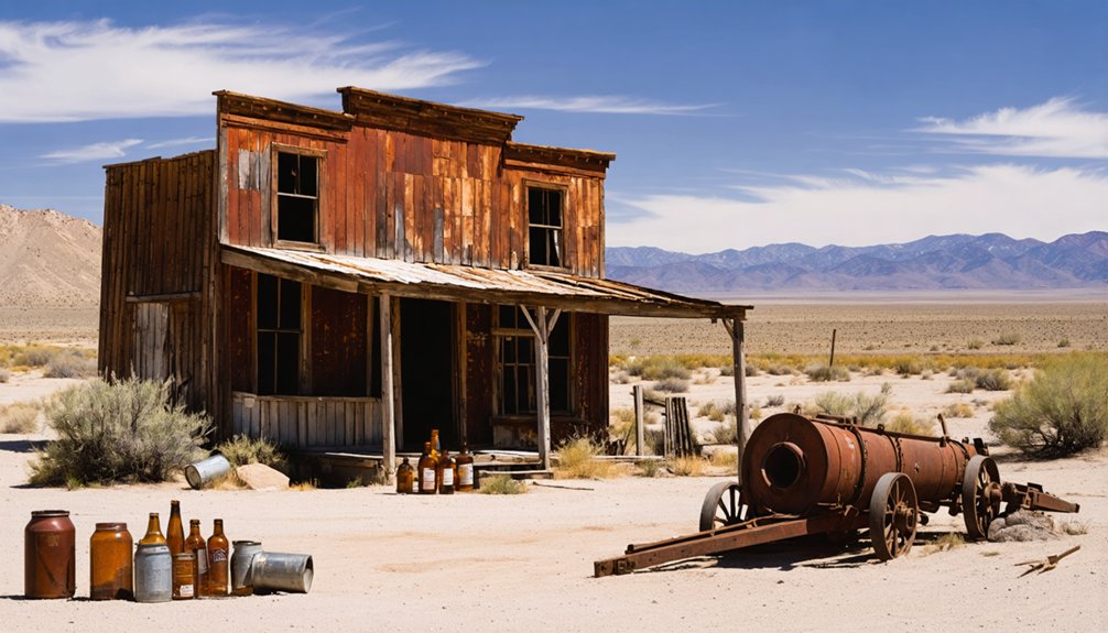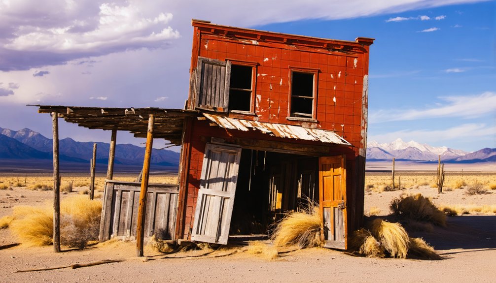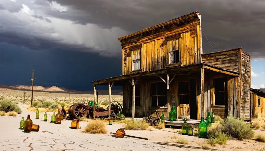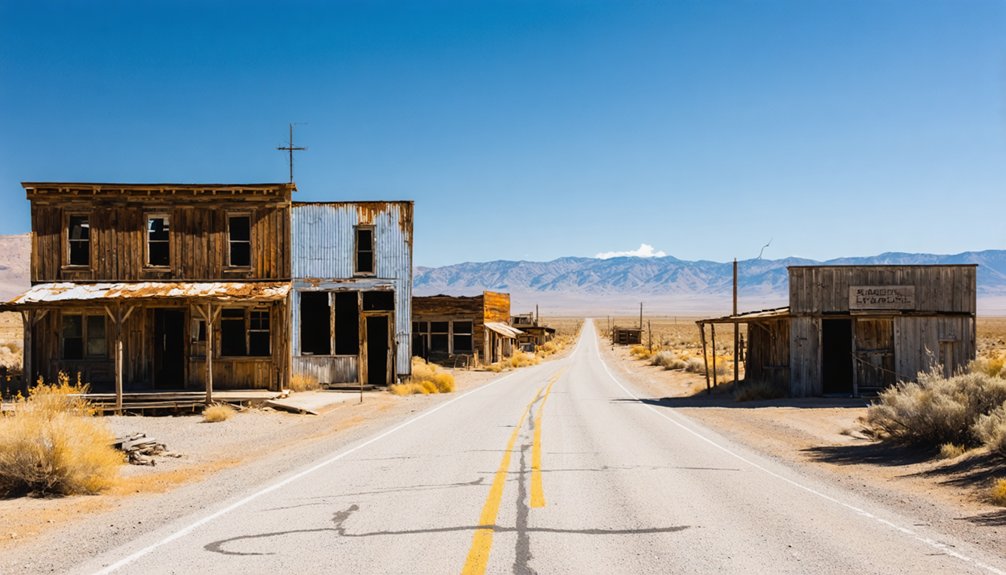
Flanigan, Nevada sits in Washoe County’s Honey Lake Valley, where Western Pacific Railroad built a town in 1909 that never kept its promises. You’ll find no standing structures—a 1985 wildfire erased everything—but concrete foundations still trace a 30-block grid across open desert. Spring and fall offer the best conditions for exploring this remote site. Pack water, fuel, and a paper map, and keep going to uncover the full story behind Flanigan’s rise and quiet collapse.
Key Takeaways
- Flanigan, Nevada, founded in 1909 by Western Pacific Railroad, reached a peak population of 200 before railroad decline and water scarcity caused abandonment.
- Access Flanigan via US-395 northeast from Reno, then east toward Honey Lake Valley; expect unpaved desert terrain and no cell service.
- Visit in spring or fall for mild temperatures and clear lighting; avoid summer heat exceeding 100°F and winter ice risks.
- Pack extra water, fuel, sturdy boots, sun protection, a paper map, and recovery gear for this remote, self-sufficient desert excursion.
- Concrete foundations outlining the 30-block townsite are all that remain after a 1985 wildfire destroyed all historical architecture.
What Is Flanigan, Nevada?
Once a thriving railroad junction in Nevada’s Honey Lake Valley, Flanigan is now a ghost town in Washoe County where concrete foundations and creeping sagebrush are all that mark what promoters once envisioned as a 30-block regional center.
Once a bold railroad dream, Flanigan is now concrete slabs and sagebrush swallowing a ghost town whole.
The Western Pacific Railroad established the town in 1909, and by the early 1910s, a second rail line crossed through, briefly igniting real ambitions.
At its peak, roughly 200 residents supported a hotel, general store, and post office.
No historical architecture survived a 1985 wildfire that erased the last standing structures.
What you’ll find instead are local legends of boom-era optimism crushed by water scarcity and fading rail traffic.
Flanigan sits about five miles east of the California border, quietly reclaimed by desert wind and open sky.
What’s Actually Left at the Flanigan Site Today?
When you arrive at Flanigan today, you won’t find walls, rooftops, or any standing structure — a 1985 wildfire erased the last of those.
What you’ll find are scattered concrete foundations breaking through the desert floor, silent markers of the hotel, store, and railroad buildings that once served 200 residents.
Sagebrush and grasses have moved in to finish what the fire started, reclaiming the 30-block townsite that boosters once imagined as a regional center.
Concrete Foundations Remain
Though the desert has done its work thoroughly at Flanigan, you’ll still find concrete foundations poking through the sagebrush and grasses where the hotel, store, and post office once stood.
These concrete ruins are all that survived after a 1985 wildfire erased the last standing structures. What you’re walking through isn’t emptiness — it’s a readable floor plan of a town that briefly housed around 200 people and operated a 40-room hotel.
The industrial remnants speak quietly but precisely. Each foundation tells you where ambition met geography and lost.
You can trace the logic of the original 30-block townsite simply by pacing the slabs. Bring water, wear boots, and give yourself time to read the land.
Flanigan rewards the curious, not the rushed.
Sagebrush Reclaims The Site
Beyond the concrete foundations, the desert has moved in as the dominant occupant of Flanigan’s former townsite. Sagebrush ecology has quietly erased what fire and abandonment started, stitching native desert flora across lots that once held a hotel, a general store, and railroad workers’ homes.
When you walk the site, you’re stepping through basin sagebrush and bunchgrasses that don’t care what year the post office closed. The Great Basin reclaims on its own timeline.
Wind-driven sand has settled into foundation corners, and the boundary between former street and open range is nearly impossible to read. That erasure is exactly what makes Flanigan worth visiting — you’re not touring a preserved artifact, you’re standing inside a landscape that’s already moved on without asking permission.
No Standing Structures
Flanigan doesn’t give you much to photograph. The historical architecture that once defined this railroad junction — a rumored 40-room hotel, a general store, a post office — burned away in a 1985 wildfire, leaving nothing upright behind.
What you’ll find instead are concrete foundations pressing through the desert floor, ghost-town bones stripped of their flesh. Local legends suggest the town was destined for county-seat glory, a 30-block city rising from Honey Lake Valley.
Walk those foundations and you’ll feel the gap between ambition and reality. No interpretive signs mark the spot. No restored facades dress it up. You’re standing on raw history, reading it through absence.
That’s exactly what makes Flanigan worth the detour — it demands something from you.
How Did the Railroad Build and Then Abandon Flanigan?
When the Western Pacific Railroad planted a station here in 1909, it didn’t just build a stop—it seeded an entire town’s worth of ambition in the high desert of Washoe County. Promoters envisioned 30 city blocks, a future county seat, and regional dominance.
When the Fernley & Lassen branch crossed through in 1912–1913, that ambition briefly took shape—a 40-room hotel, a general store, a post office, and nearly 200 residents filling the valley.
But the railroad gave and the railroad took away. As rail traffic thinned, so did Flanigan’s reason for existing. Local folklore frames it as a town built on speculation rather than substance.
Without water or sustained traffic, the historical architecture crumbled, and by 1985, wildfire erased what time hadn’t already claimed.
Why Did Flanigan Never Become the City Promoters Promised?
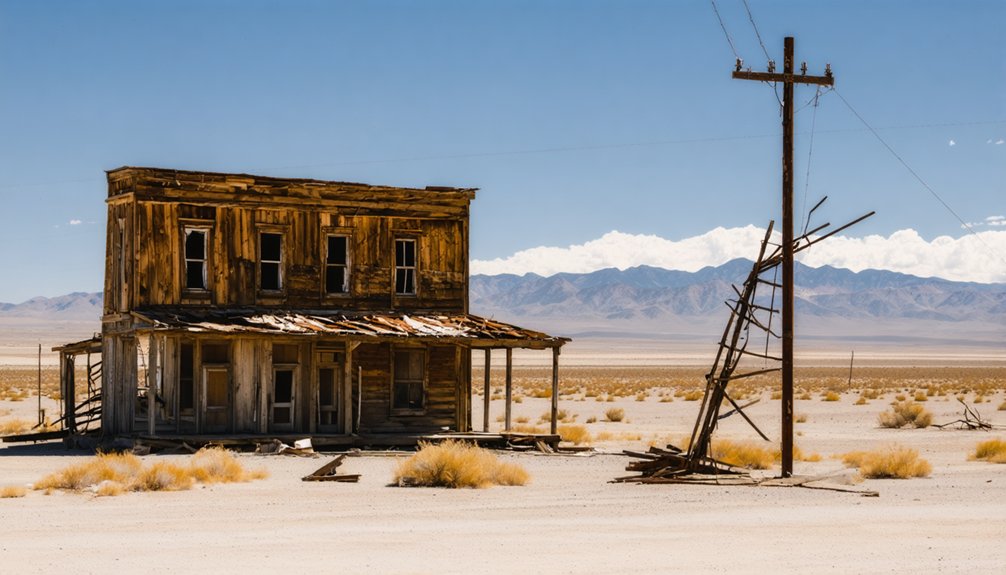
When you stand at Flanigan’s empty foundations, you’re looking at the wreckage of railroad speculation—promoters mapped out a 30-block townsite and chased county-seat status, but the boom they promised never materialized.
The desert itself delivered the killing blow: there was no reliable water source, forcing residents to depend on water shipped in by rail, a logistical fragility that made serious growth impossible.
You’ll find no grand civic buildings here because the promoters’ vision outran every practical reality the land was willing to offer.
Railroad Speculation Gone Wrong
Back in 1909, railroad promoters looked at the dusty junction where the Western Pacific line crossed Honey Lake Valley and saw a future city. They weren’t entirely wrong to dream — but they missed critical realities:
- Water never arrived naturally; every drop shipped in by rail made independence impossible.
- The Fernley & Lassen crossing in 1912 sparked speculation, not sustainable growth.
- A 30-block townsite was platted for a population that never materialized beyond 200 residents.
- When rail traffic weakened, Flanigan’s entire economic foundation collapsed overnight.
You’re now walking through urban decay reclaimed by sagebrush, where concrete foundations mark ambitions that outpaced reality.
Historical preservation never took hold here — a 1985 wildfire erased the last structures, leaving only the land’s honest indifference behind.
Water Scarcity Halted Growth
Every city needs water, and Flanigan never had any it could call its own. Out in that unforgiving desert landscape, the water scarcity wasn’t a manageable inconvenience — it was a structural death sentence.
Residents and railroad workers depended entirely on water shipped in by rail, which meant every drop came with a price and a schedule. You can imagine how fragile that made daily life: one disruption to rail service, and the town’s most basic need evaporated.
Promoters could dream up 30-block townsites and county-seat ambitions, but they couldn’t engineer a reliable water supply into the Great Basin’s dry earth. Without that foundation, no amount of speculation could hold the community together.
The desert landscape simply refused to cooperate on Flanigan’s terms.
Promoters’ Promises Left Unfulfilled
Flanigan’s promoters sold a vision: a thriving junction city with 30 city blocks, county-seat ambitions, and a future built on the crossing of two major rail lines. Local legends described a boomtown destiny. Instead, four realities dismantled every promise:
- Rail traffic never reached projected volumes
- Water shipments by train made permanent settlement impractical
- Population peaked near 200 and reversed quickly
- The 40-room hotel and post office couldn’t anchor a dying economy
Historical preservation efforts never materialized because there was nothing left to preserve after the 1985 wildfire erased the final structures. You’re visiting a lesson, not a landmark. Flanigan rewards travelers who read the desert honestly — ambition without resources doesn’t build cities; it builds ghost towns worth remembering.
How Do You Get to Flanigan, Nevada?
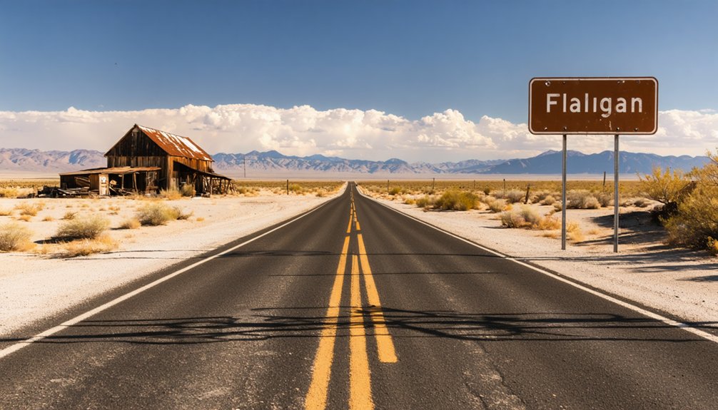
Reaching Flanigan means committing to a stretch of high-desert Nevada where services thin out fast. The site sits in Washoe County’s Honey Lake Valley, roughly five miles east of the California border near coordinates 40.17° N, 119.89° W.
From Reno, head northeast on US-395, then navigate east toward the valley floor. No paved road deposits you at the doorstep of historical preservation here — expect unpaved desert terrain and sagebrush swallowing former foundations.
Carry extra water, fuel, and a paper map. Cell service drops without warning.
Local legends place the old hotel somewhere near the concrete slabs still visible from the rail corridor. Visit in spring or fall to dodge brutal summer heat.
Flanigan rewards the self-sufficient traveler, not the casual one.
When Is the Best Time to Visit Flanigan?
Spring and fall offer the most comfortable conditions for exploring Flanigan’s windswept foundations, with mild temperatures that make walking the open desert site far more bearable.
You’ll want to avoid summer visits, when high-desert heat turns the sagebrush flats into a punishing landscape with no shade or services to save you.
Winter brings its own risks, as remote desert roads in Washoe County can ice over or flood with little warning, leaving you stranded far from help.
Spring And Fall Visits
Because the Mojave heat hasn’t yet crept north and the winter cold has loosened its grip, spring turns Honey Lake Valley into the most forgiving version of itself—wildflowers push through the sagebrush, temperatures stay manageable, and the light hits the concrete foundations at Flanigan with a clarity that makes the ghost town feel almost readable.
Fall mirrors that gentleness. Both seasons reward the deliberate traveler:
- Desert flora peaks in spring, carpeting the site in color
- Wildlife spotting improves as animals move through open sagebrush corridors
- Daytime highs stay comfortable for unhurried exploration on foot
- Golden fall light sharpens shadows across surviving concrete slabs, rewarding photographers
Plan arrivals for early morning either season—the silence amplifies the site’s railroad-era emptiness in ways midday traffic never allows.
Avoiding Summer Heat
Summer turns Flanigan’s high desert into something punishing—temperatures across Honey Lake Valley regularly push past 100°F, and the open, shadeless site offers no refuge from that heat.
With no visitor amenities whatsoever—no water, no shelter, no services within miles—you’re entirely on your own out there. That freedom cuts both ways. The same remoteness that makes Flanigan compelling makes it dangerous when the sun’s at full force.
Historical preservation never reached this site; a 1985 wildfire finished what decades of abandonment started, leaving only concrete foundations baking in the open.
If summer’s your only window, go at dawn and leave before 10 a.m. Otherwise, you’re fighting conditions that defeated the town’s original settlers, who literally had to ship water in by rail just to survive.
Winter Road Conditions
Winter flips the script on Flanigan entirely—where summer punishes with triple-digit heat, the high desert in Honey Lake Valley can drop well below freezing overnight and deliver surprise snowfall that turns unpaved access roads into muddy traps or icy hazards.
Winter travel here demands honest preparation before you leave pavement behind.
Check these road conditions before heading out:
- Verify current Nevada 511 reports for Washoe County routes
- Confirm your vehicle has four-wheel drive or reliable all-terrain tires
- Pack recovery gear—a shovel, traction boards, and chains
- Check forecasts 48 hours ahead, since storms move fast across the Great Basin
Flanigan rewards the self-sufficient traveler. Arrive unprepared, and the desert simply swallows your plans whole.
What Should You Bring to Flanigan’s Remote Desert Site?
Flanigan offers no services, no shade structures, and no water sources, so you’ll need to pack everything before you leave civilization behind. Carry more water than you think you need — desert heat is unforgiving, and the nearest resupply is miles away.
Bring sturdy boots for walking uneven ground where concrete foundations hide beneath sagebrush. A camera captures the foundation lines and railroad-era geometry that hint at the town’s ambitious 30-block vision.
Pack gloves if you plan to investigate closely — leave historical artifacts exactly as you find them, since disturbing the site diminishes its integrity.
Stay alert for wildlife encounters; rattlesnakes and jackrabbits both favor this high-desert scrubland.
A paper map, extra fuel, and sun protection complete your kit for this raw, rewarding ghost-town stop.
Which Washoe County Ghost Towns Pair Well With Flanigan?
Washoe County rewards ghost-town chasers who plan beyond a single stop, and Flanigan fits naturally into a longer circuit through Nevada’s northern high desert. Pair it with these four stops for a fuller picture of the region’s boom-and-bust story:
- Unionville – Rich mining history and crumbling adobe walls surrounded by desert flora.
- Cornucopia – A remote silver camp where sagebrush now reclaims the hillsides.
- Grandview – A quiet ruin tied to short-lived mining ambitions in Washoe’s interior.
- Pyramid Lake area settlements – Ghost sites framing dramatic lakeside desert landscapes.
Each location adds texture that Flanigan alone can’t deliver. You’ll trace railroad speculation, failed mining ventures, and water scarcity across one cohesive drive through Nevada’s unforgiving but enthralling high desert.
How Do You Build a Road Trip Around Flanigan and Northern Nevada’s Ghost Towns?
Once you’ve mapped your ghost-town companions, the real work is threading them into a route that makes geographic and historical sense. Anchor your trip in Reno, then push northeast through Washoe County, letting the railroad corridor guide your sequence.
Thread your ghost-town route with geographic logic — let Washoe County’s railroad corridor sequence your journey northeast from Reno.
Flanigan sits naturally mid-route, roughly five miles from California’s border inside Honey Lake Valley’s open desert. Bring historical photography of the original 30-block townsite vision — holding those images against today’s concrete foundations and reclaiming sagebrush sharpens the contrast dramatically.
Ask locals about legends surrounding the 40-room hotel and the county-seat ambitions that never materialized; those stories carry the real weight of the place.
Plan fuel and water carefully — services vanish quickly in this high-desert stretch, and the freedom you’re chasing depends entirely on self-sufficiency.
What Safety Precautions Should You Take at Flanigan and Similar Abandoned Sites?
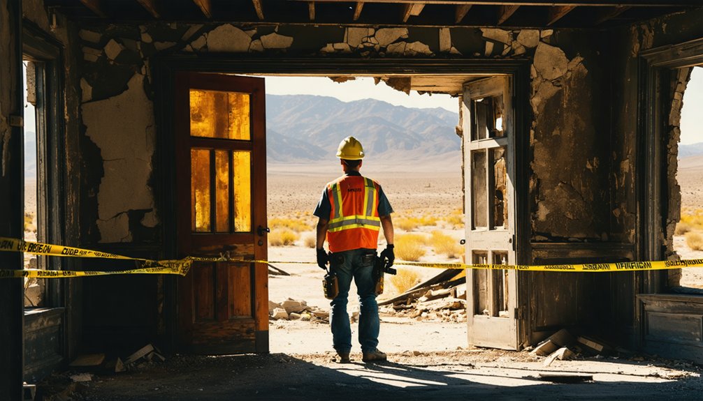
Abandoned desert sites like Flanigan demand respect before they demand your curiosity. The desert reclaims everything here — foundations crumble, wildlife hazards hide in the brush, and the open sky offers no shade. Before you step out of the vehicle, prepare properly.
- Wear sturdy boots to protect against hidden concrete edges and rattlesnakes sheltering near old foundations.
- Carry at least two liters of water per person — Flanigan’s history literally died from water scarcity, and you’re visiting that same desert.
- Check equipment safety before leaving cell service range; a spare tire and basic tools aren’t optional here.
- Stay alert for wildlife hazards, including scorpions beneath debris and birds nesting in low brush.
You’re free to explore — just arrive prepared to leave the same way.
Frequently Asked Questions
Is Photography Permitted at the Flanigan Ghost Town Site?
No specific photography regulations or visitor guidelines restrict you at Flanigan’s open desert ruins. You’re free to snap concrete foundations like a daguerreotype pioneer capturing history — just respect the wild, sagebrush-reclaimed land around you.
Who Was Patrick L. Flanigan, and Why Was the Town Named for Him?
You’ll find the historical significance of Patrick L. Flanigan lives in local legends, though records stay sparse. The Western Pacific Railroad named the 1909 town after him, honoring his connection to its ambitious desert expansion plans.
Are There Any Guided Tours Available for Flanigan and Nearby Ghost Towns?
Like a lone pioneer forging uncharted trails, you’ll find no formal guided tour options exist for Flanigan. You’ll uncover ghost town history on your own terms, embracing freedom while exploring nearby sites independently.
Has Flanigan Ever Appeared in Films, Documentaries, or Published Travel Books?
No confirmed filming history or major travel book features document Flanigan’s historical significance. You’ll find it briefly mentioned in Nevada ghost town guides, but it remains beautifully obscure—a freedom-seeker’s raw, unfiltered desert discovery waiting for you.
Is the Flanigan Site Located on Public or Privately Owned Land?
The knowledge doesn’t confirm Flanigan’s land ownership status, so you’ll want to verify before heading out. Research land ownership carefully, since access restrictions can stand between you and those sagebrush-covered foundations holding a century of railroad history.
References
- https://en.wikipedia.org/wiki/Flanigan
- https://tipurdy.org/flanigan-the-grandiose-ghost-of-honey-lake-valley/
- https://www.nvexpeditions.com/washoe/flanigan.php
- https://nvtami.com/2024/01/23/northern-washoe-county-ghost-towns-2/
- http://backyardtraveler.blogspot.com/2023/11/washoe-county-ghost-town-of-flanigan.html
- https://en.wikipedia.org/wiki/List_of_ghost_towns_in_Nevada