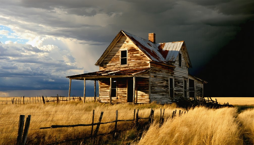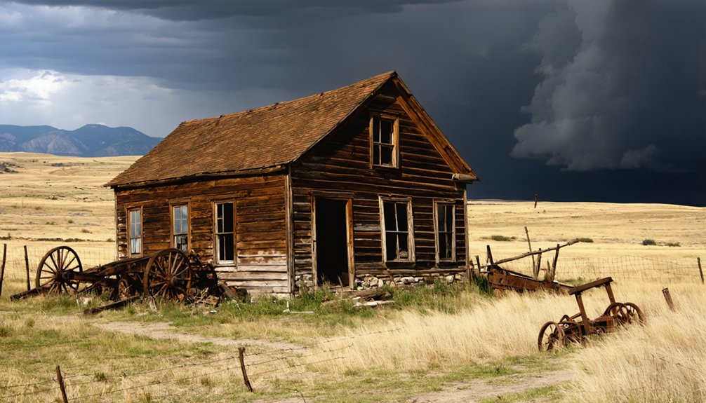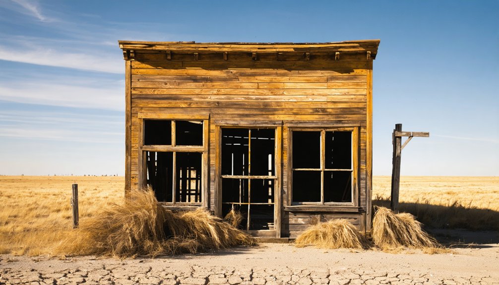
Planning a ghost town road trip to Gibralter, South Dakota means embracing remote, self-directed exploration in western Meade County. Founded around 1877 during Black Hills expansion, this abandoned frontier settlement left little above ground, so you’ll need historical maps, archival research, and proper preparation before you go. Pack water, offline navigation, and sturdy footwear for unpredictable terrain. Treat the surrounding corridor as your destination, connecting nearby sites like Galena and Deadwood for a richer, more rewarding journey through the region’s layered frontier history.
Key Takeaways
- Gibralter is a remote ghost town in Meade County, South Dakota, dating to 1877, with little remaining above ground today.
- Cross-reference historical maps with current road data to navigate, as the site has no signage, markers, or visible landmarks.
- Confirm land ownership before visiting, avoid removing artifacts, and bring water, offline maps, and sturdy footwear for remote terrain.
- Visit between late spring and early fall for optimal weather, treating the surrounding corridor as your destination rather than one spot.
- Consult the South Dakota State Historical Society, USGS topographic maps, and local newspaper archives to enrich your visit beforehand.
What Is Gibralter, South Dakota?
Tucked away in Meade County, Gibralter, South Dakota, is a ghost town that dates back to 1877, born from the same wave of western expansion that shaped much of the Black Hills region. You won’t find a bustling street or a welcome sign here — the site is classified as barren, meaning little remains above ground.
Some sources spell it “Gibraltar,” so you’ll want to check both spellings when researching. Like many frontier communities, it likely grew around resource extraction or travel corridors before fading into silence.
Historical artifacts tied to such sites often scatter or disappear without preservation efforts to protect them. Understanding what Gibralter once was helps you appreciate what you’re actually walking into — raw, unfiltered history on an open landscape.
Where in Meade County Is Gibralter Located?
Meade County covers a vast stretch of western South Dakota, and pinpointing Gibralter within it takes some research since the barren site lacks modern landmarks or signage to guide you.
The county stretches from the Black Hills’ eastern edge toward the open plains, putting Gibralter within a region shaped by frontier-era expansion.
Your best approach is cross-referencing historical maps with current county road data before you head out.
Don’t expect abandoned structures or historic artifacts to announce themselves from the roadside.
This area rewards self-directed explorers who prep thoroughly at home.
Regional hubs like Sturgis give you a practical base for steering through Meade County‘s rural roads.
Freedom to roam here means accepting uncertainty and treating the search itself as part of the experience.
What You’ll Actually Find at the Gibralter Site Today
Don’t let that discourage you. Barren sites reward visitors who arrive prepared. Research local legends tied to the region before you go, since on-site interpretation is fundamentally nonexistent.
Scan the ground carefully because historical artifacts occasionally surface in places like this, remnants of a community that existed during the Black Hills settlement era.
Bring your own context, and Gibralter transforms from an empty field into a genuinely compelling stop on your ghost-town route.
Why Gibralter Was Abandoned After 1877
Gibralter’s story follows a pattern you’ll recognize across the Black Hills — a community springs up fast, fueled by frontier optimism, then collapses just as quickly when the resources or routes that sustained it disappear.
You can trace that cycle through the region’s hundreds of abandoned settlements, most of which peaked within a decade or two of their founding.
When the mining dried up, the stage routes shifted, or the railroad bypassed a town, residents simply moved on, leaving sites like Gibralter to fade into bare ground.
Frontier Boom-And-Bust Cycles
Like so many frontier settlements scattered across the Black Hills, Gibralter rose quickly and collapsed just as fast, its fate tied directly to the boom-and-bust cycles that defined western expansion in the late 1800s. These cycles followed a predictable pattern:
- Resources attracted settlers almost overnight
- Communities built infrastructure around a single economic driver
- Depletion or route changes stripped towns of purpose
- Populations vanished, leaving barren ground behind
Understanding this pattern carries real cultural significance when you visit sites like Gibralter. You’re not just standing on empty land — you’re reading a chapter of frontier history written in absence.
Historic preservation efforts across South Dakota help document these vanished communities so you can connect with what once existed here before the land reclaimed it.
Declining Resources And Routes
Although the historical record leaves Gibralter’s exact end date marked with a question, the pattern behind its abandonment is familiar across the Black Hills: when the resource dried up or the route shifted, the people left and the land moved on.
Mining camps collapsed when veins ran thin. Stage stops emptied when roads rerouted. Settlement patterns across Meade County followed this same ruthless logic — boom, then silence.
Gibralter’s barren status today tells you that nobody found a reason to stay. You won’t find interpretive signs explaining the departure, but you’ll read the absence itself as evidence.
Historical artifacts, if any survive, remain scattered across ground that once supported an entire community’s ambitions. The land holds the story; you just have to know what erasure looks like.
Is Gibralter, South Dakota Legal and Safe to Visit?
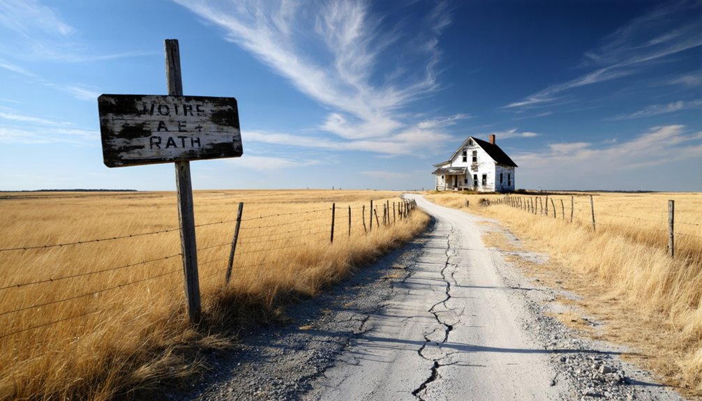
Before you load up the car and head out to Gibralter, it’s worth asking whether you can legally and safely set foot there. Barren doesn’t mean open access — land ownership matters.
Follow these ground rules:
- Verify land ownership — Meade County land may be private, state, or federal; check before entering.
- Leave historical artifacts untouched — removing them violates federal and state law.
- Respect preservation efforts — even barren sites hold archaeological value worth protecting.
- Travel prepared — remote terrain means no services, poor cell reception, and unpredictable conditions.
You’re free to explore South Dakota’s ghost-town network, but responsible visits keep these sites accessible for future travelers. Do your homework, pack smart, and tread lightly once you’re there.
When Should You Visit a Barren Ghost Town Like Gibralter?
Once you’ve sorted out the legal and safety side of visiting Gibralter, the next question is timing — and for a barren, remote site in western South Dakota, it matters more than you might expect.
Late spring through early fall gives you the best combination of dry roads, longer daylight, and manageable temperatures. Avoid early spring when muddy rural routes can strand you miles from help.
Winter visits are technically possible but genuinely risky. Visiting during drier months also protects the site itself — foot traffic through wet, soft ground can disturb historical artifacts and undermine quiet preservation efforts that keep fragile remnants intact.
Go midweek if you can. Fewer people means a more personal experience, and at a barren site like Gibralter, that solitude is the entire point.
What to Pack for a Barren Meade County Ghost Town Stop

Packing for a barren ghost town stop like Gibralter is less about luxury and more about self-sufficiency, because you’re heading into a remote Meade County site with no facilities, no cell signal, and no one nearby if something goes wrong.
Research local legends before you leave, and download offline maps since you won’t have reliable service.
Bring these four essentials:
- Water and snacks — no services exist on-site
- Printed historical notes — covering local legends and any documented historic architecture
- Sturdy footwear — uneven terrain is standard at barren sites
- A fully charged camera — document everything before light fades
Pack light but pack smart. Gibralter rewards prepared, independent travelers who respect its remote, quietly historic landscape.
How to Build a Black Hills Ghost Town Road Trip Around Gibralter
Gibralter works best as an anchor point rather than a standalone stop, so build your itinerary outward from Meade County using Sturgis or Deadwood as your base hub.
From either town, you can reach Gibralter and then loop through other barren or near-abandoned communities scattered across the Black Hills. The region holds hundreds of historic sites, many carrying haunted legends tied to mining disasters, frontier violence, and sudden population collapse.
You won’t find abandoned structures at every stop, but the layered history makes each barren site more meaningful when you’ve researched it beforehand.
Map your route loosely, keep fuel topped off, and allow flexibility for unmarked turnoffs. The freedom of this kind of road trip comes from treating the entire corridor as the destination, not just one ghost town.
Which Nearby Ghost Towns Are Worth Adding to Your Route?
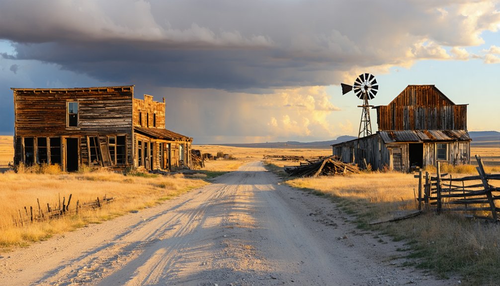
Because Meade County sits within one of South Dakota’s richest ghost-town corridors, you’ve got strong options for extending your route beyond Gibralter. The Black Hills region holds hundreds of abandoned communities, each carrying its own historical artifacts and local legends worth chasing down.
Consider adding these stops to your itinerary:
- Galena – partly inhabited but rich in mining-era character
- Deadwood – a preserved boom town with layered frontier history
- Ardmore – a faded settlement that lingered at just 16 residents before going quiet
- Blair Colony – collapsed after the Great Depression stripped its population
Each stop rewards prior research since on-site interpretation is often minimal. Build your route deliberately, and western South Dakota will deliver an unforgettable stretch of forgotten American history.
Archives and Maps That Reveal Gibralter’s History
Since Gibralter’s barren status leaves little to discover on the ground, archival research becomes your most powerful tool for reconstructing what once stood there. Start with the South Dakota State Historical Society, which holds territorial records, plat maps, and early county documents that can pinpoint Gibralter’s original layout within Meade County.
The USGS historical topographic map archive lets you pull layer-by-layer views showing how railroad remnants and settlement patterns shifted across western South Dakota after the 1870s boom.
Old mining history records may also reveal whether resource extraction drove Gibralter’s founding and eventual collapse.
Newspaper archives from nearby Sturgis and Deadwood often captured small community activity that never made official records. Cross-referencing these sources builds a richer picture than any roadside marker ever could.
Frequently Asked Questions
Is Gibralter Also Spelled Gibraltar in Official South Dakota Records?
Like shifting desert sands, spellings change — you’ll find Gibraltar surfaces as an alternate historical spelling in official records, so don’t let the variation throw you off your ghost-town trail.
Can Children Safely Accompany Adults on a Gibralter Ghost Town Visit?
You can bring kids, but plan ahead—child safety considerations matter at barren sites like Gibralter. There aren’t family friendly activities on-site, so you’ll want to supervise children closely while exploring this rugged, open ghost town.
Are There Any Guided Tours Available for Meade County Ghost Towns?
Dust swirling beneath open skies, you won’t find formal guided tours for Meade County ghost towns, but local historical preservation groups occasionally organize outings that boost tourist accessibility — letting you freely explore these forgotten frontiers on your own terms.
Does Gibralter Appear on Modern GPS or Satellite Mapping Applications?
You’ll likely spot Gibralter through satellite imagery, but GPS accuracy varies for barren ghost towns. Cross-reference multiple mapping apps, zoom into Meade County’s terrain, and you’ll uncover traces of this forgotten frontier settlement hiding in plain sight.
How Many South Dakota Ghost Towns Exist Within One Hour of Gibralter?
Ironically, no exact count exists, but you’ll find dozens of abandoned structures and historical landmarks within an hour of Gibralter — South Dakota’s Black Hills region holds hundreds of ghost towns, giving you endless freedom to explore.
References
- https://en.wikipedia.org/wiki/List_of_ghost_towns_in_South_Dakota
- https://www.powderhouselodge.com/black-hills-attractions/fun-attractions/ghost-towns-of-western-south-dakota/
- https://www.sdpb.org/rural-life-and-history/2023-08-21/some-black-hills-ghost-towns-and-their-origins
- https://www.pbs.org/video/galena-the-ghost-town-that-refuses-to-die-ehw4x2/
- https://www.sdhspress.com/journal/south-dakota-history-2-2/some-black-hills-ghost-towns-and-their-origins/vol-02-no-2-some-black-hills-ghost-towns-and-their-origins.pdf
- https://kids.kiddle.co/List_of_ghost_towns_in_South_Dakota
- https://he.wikipedia.org/wiki/גיברלטר
- https://en.wikipedia.org/wiki/Blair_Colony