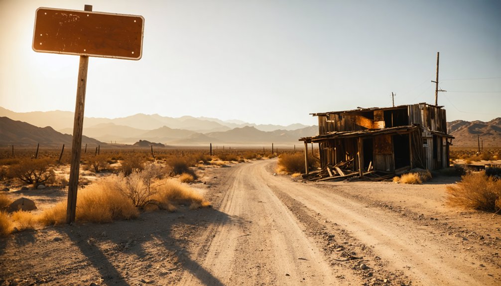
To plan your Grub Gulch ghost town road trip, head northeast from Raymond on Road 600 for about 10.5 miles along old stagecoach paths once traveled by gold seekers. You’ll find a historical marker and a quiet cemetery where early miners rest, though the 1920 fire erased most structures. Visit in spring or fall, bring water, and respect the private property boundaries. There’s far more to this forgotten foothill story than the road first reveals.
Key Takeaways
- Start from Raymond, heading northeast on Road 600 for 10.5 miles along historic stagecoach paths to reach the Grub Gulch townsite.
- The site features a historical marker and cemetery; no ruins remain after the 1920 fire destroyed the original settlement.
- Visit during spring or fall for comfortable temperatures; summer heat requires early arrival and extra water supplies.
- Grub Gulch sits on private property, so obtain permission before visiting and strictly respect all boundaries, especially near the cemetery.
- Nearby Coarsegold (7 miles south) and Raymond (10.5 miles southwest) make excellent complementary stops for a fuller ghost town itinerary.
What Was Grub Gulch and Why Did It Disappear?
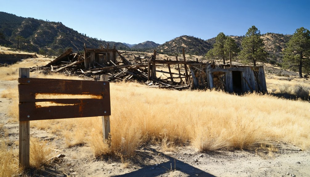
Once the Gambetta Mine opened in 1880, Grub Gulch quickly grew into one of Madera County’s most animated settlements, drawing thousands of miners, merchants, and travelers to its saloons, hotels, and stagecoach stops along the road to Yosemite.
Its mining history ran deep — local veins produced nearly $1 million in gold by 1892, and 24 mines operated within a five-mile radius.
But the ore played out, the railroads rerouted traffic away from town, and by 1910 the last saloon had closed.
A 1920 fire erased what little remained.
Today, ghost town preservation efforts are modest — you’ll find only a cemetery tucked behind a private corral and a roadside marker on Road 600.
Grub Gulch didn’t fade quietly; it burned, dried up, and vanished.
How To Get To Grub Gulch on Road 600
To reach Grub Gulch, start in Raymond and head northeast about 10.5 miles along Road 600, the same route that once carried stagecoaches full of Yosemite travelers and hard-rock miners.
As you navigate this corridor between Ahwahnee and Raymond, watch for the historical marker erected near the old townsite — it’s your clearest signal that you’ve arrived at what was once a booming settlement of thousands.
The marker stands as a quiet anchor point, helping you orient yourself before you search the surrounding landscape for whatever traces the 1920 fire and a century of silence have left behind.
Starting Point From Raymond
Road 600 northeast of Raymond is your gateway into Grub Gulch’s past, carrying you roughly 10.5 miles through Madera County foothill terrain to where the old townsite once stood.
Raymond makes a practical starting point — fuel up, check your map, and head northeast as the road climbs into gold country.
You’re tracing a route that stagecoaches once traveled, carrying miners chasing hard-rock quartz deposits and Yosemite-bound travelers hungry for something wild.
Local legends grew thick along this corridor, shaped by boom-era ambition and the mining history embedded in every gulch and ridge.
Watch for the historical marker on Road 600 near the old townsite — it’s your signal that you’ve arrived somewhere that once roared with life and now keeps its secrets quietly.
Navigating Road 600
Traveling Road 600 itself is straightforward, but knowing what shaped this corridor makes the drive richer. You’re following a route that once carried stagecoaches hauling Yosemite-bound travelers and hard-luck miners chasing quartz-gold dreams.
When the Yosemite Valley Railroad opened in 1907, it killed that traffic entirely, leaving Grub Gulch to quietly collapse.
From Raymond, head northeast roughly 10.5 miles. You’ll find no tourist amenities along this stretch — no pull-offs, no interpretive centers, no fuel. Pack accordingly.
Your landmark is a historical preservation marker erected roadside between Ahwahnee and Raymond, standing near the old townsite. It’s modest, easy to miss. Slow down once the terrain opens into the rolling foothills and watch carefully.
The marker, not the ghost town itself, is what Road 600 offers you.
Locating The Historical Marker
Whether you’re coming from the south or the north, the marker itself is your destination — not a building, not a mine shaft, not a reconstructed storefront, but a roadside sign standing where thousands of stagecoach passengers once rolled through on their way to Yosemite.
Look for it along Road 600, positioned between Ahwahnee and Raymond. There are no abandoned structures guiding your approach, no dramatic ruins signaling arrival. The landscape keeps its secrets quietly.
Local legends about the miners who once packed five saloons and two hotels into this hillside feel almost impossible to reconcile with the stillness you’ll find now.
Pull over, read the marker carefully, and let the silence do its work. This is ghost town travel at its most honest — presence without spectacle.
What You’ll Actually Find at the Ghost Town Today
When you arrive at the old Grub Gulch townsite off Road 600, don’t expect standing structures — the 1920 fire took care of those. What you’ll find instead is a historical marker erected along the road between Ahwahnee and Raymond.
And a cemetery tucked behind a corral on private property above where the town once stood. The silence there does real work, letting you feel the ghost of a community that once boasted five saloons, two hotels, and nearly 5,000 people chasing hard-rock gold.
The Remaining Cemetery
Though the town itself burned to the ground in 1920, one quiet remnant of Grub Gulch survives: a small cemetery tucked behind a corral on private property above the old townsite. It’s one of the few tangible connections left to the mining history that once drove thousands of people to this remote Sierra foothill corridor.
You won’t find a maintained trail or public access — the land is private, so respect those boundaries. But knowing the cemetery exists adds weight to your visit.
Ghost town preservation rarely looks like a museum. More often, it looks like this: a handful of weathered markers standing in dry grass, forgotten by most, outlasting everything else. That quiet persistence is exactly what makes Grub Gulch worth the drive.
Historical Marker Location
Alongside the cemetery, there’s one more marker of what Grub Gulch once was — and this one you can actually stand beside. A historical marker sits on Road 600, positioned between Ahwahnee and Raymond, near the old townsite where five saloons and two hotels once hummed with life.
It’s a quiet anchor point for anyone chasing local legends and mining history through Madera County’s backcountry. Standing there, you’re roughly 10 miles west of Oakhurst and 10.5 miles northeast of Raymond — deep enough into the foothills to feel the distance from the modern world.
The marker won’t recreate the town, but it grounds you in place. Sometimes that’s enough — a fixed point where history stopped moving and the land simply continued.
Ghost Town Atmosphere
What you’ll find at Grub Gulch today is mostly silence — and that silence carries its own kind of weight. The town burned in 1920, taking the saloons, hotels, and rooming house with it. Nature reclaimed the rest. You won’t stumble across crumbling facades or intact storefronts here — Grub Gulch doesn’t offer that kind of drama.
What it offers instead is subtler. The cemetery sits behind a corral on private property above the townsite, quietly holding local legends and forgotten names.
Scattered mining relics hint at the district’s productive years, when nearly $1 million in gold came out of these hills. Walk the land and you’ll feel the weight of erasure — a boomtown reduced to a marker, a graveyard, and open sky.
Which Madera County Ghost Towns Are Worth Adding to Your Route?
While Grub Gulch anchors any serious Madera County ghost town itinerary, it’s far from the only stop worth your time. The surrounding region is rich with remnants of local mining activity that shaped entire communities and then swallowed them whole.
Coarsegold, just seven miles south, sparked the district’s original gold rush in 1849.
Raymond, about 10.5 miles southwest, served as a crucial railroad terminus and supply hub.
Each site adds another layer to ghost town tourism in this corridor, connecting you to a broader story of boom, bust, and abandonment.
String these stops together along Road 600 and the surrounding back roads, and you’ll piece together Madera County’s rugged, restless past on your own terms and at your own pace.
When Is the Best Time To Visit Grub Gulch?
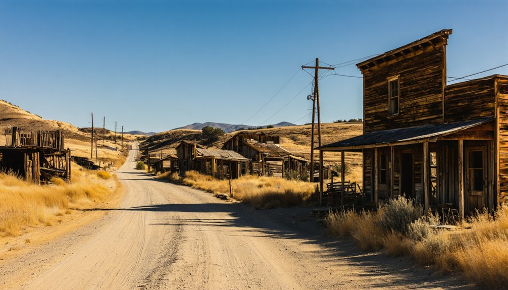
Once you’ve mapped out your ghost town route, timing your visit to Grub Gulch can make or break the experience. Spring and fall offer the most rewarding conditions — mild temperatures let you explore Road 600 comfortably, and the golden foothills echo the landscape miners once worked.
Summer heat can be brutal in Madera County, so arrive early if that’s your only option.
Beyond comfort, consider the cultural significance of what you’re walking into. This land holds real history, from the Gambetta Mine’s legacy to a community that once supported 5,000 souls.
Respect the preservation efforts surrounding the cemetery and historical marker — both sit on or near private property.
Visiting during daylight hours guarantees you see everything clearly and honor the site responsibly.
What To Know Before You Drive Out to Grub Gulch
Before you point your car toward Road 600, know that Grub Gulch rewards the prepared traveler and frustrates the careless one. The site sits on private property, so respect boundaries as you chase local legends and mining history through this rugged Madera County corridor.
Grub Gulch rewards the prepared and punishes the careless — respect the land, or stay home.
- Navigation: Road 600 runs between Ahwahnee and Raymond — find the historical marker, and you’ve found your anchor point.
- Access: The cemetery sits behind a private corral — look, don’t trespass.
- Terrain: Rural roads demand a reliable vehicle with solid tires and extra water.
- Research first: Knowing the Gambetta Mine’s story and the town’s 1920 fire deepens everything you’ll see.
The freedom of exploration here demands personal responsibility — bring that, and Grub Gulch delivers.
Frequently Asked Questions
Did Grub Gulch Ever Have a Church Built Within the Town?
No, Grub Gulch never had a church built within its limits. As you explore this ghost town architecture, you’ll find no historical church sites — saloons ruled here, reflecting miners’ free-spirited, untamed way of life.
How Thick Were the Gold-Bearing Mineral Veins Found at Grub Gulch?
When you explore Grub Gulch’s past, you’ll discover gold vein thickness ranged from 1 to 10 feet, revealing remarkable mineral deposit richness — ore that could yield up to one ounce of gold per ton, fueling miners’ wildest dreams.
How Much Gold Did the Gambetta Mine Produce Before It Closed?
Like a golden heartbeat pulsing through history, the Gambetta Mine’s gold extraction methods and mining technology yielded roughly $490,000 before it closed in 1904 — treasure you’d have chased across California’s wild, untamed frontier.
How Many Saloons Did Grub Gulch Have at Its Peak?
At its peak, you’d have found five saloons fueling Grub Gulch’s historical population of roughly 5,000 restless souls. Local legends say thirst ran as deep as the gold veins — and freedom rang loudest after dark.
What Ultimately Gave Grub Gulch Its Unusual and Memorable Name?
Miners hashtag-blessed this spot with ghost town legends: you’d pan just enough gold to “grubstake yourself into better times.” That mining history secret — raw hope baked into a name — still fuels every freedom-chasing traveler who visits today.
References
- https://en.wikipedia.org/wiki/Grub_Gulch
- https://www.fresnobee.com/news/local/article190090249.html
- https://westernmininghistory.com/library/289/page1/
- https://noehill.com/madera/poi_grub_gulch.asp
- https://www.fresnobee.com/news/local/article191043349.html
- https://www.grubgulch41-49.com/historypages/index.html
- https://en.wikipedia.org/wiki/List_of_ghost_towns_in_California
- https://coarsegoldmuseum.com/?page_id=154



