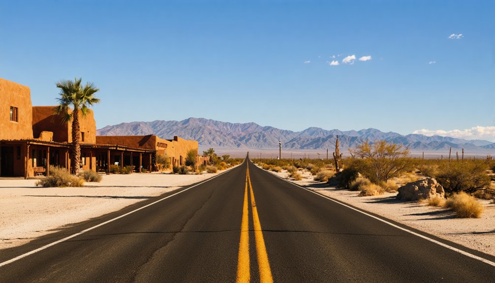
Planning a ghost town road trip from Furnace Creek Inn puts you within striking distance of some of California’s most haunting desert ruins. You’ll start at the Furnace Creek Visitor Center for maps and road conditions, then head northeast toward Rhyolite, just 35 miles away. Along the way, you’ll pass borax ruins, narrow canyon drives, and sweeping badland vistas. Top off your fuel tank, pack plenty of water, and keep exploring — there’s far more waiting around every desert bend.
Key Takeaways
- Start at Furnace Creek Visitor Center to collect maps, pay park fees, and get current road and trail conditions from staff.
- Fill your fuel tank at Furnace Creek, as gas prices inside the park are significantly higher than nearby Beatty or Ridgecrest.
- Rhyolite Ghost Town, 35 miles from Furnace Creek, offers dramatic ruins from its 1907 boom and makes an ideal half-day excursion.
- Pack ample water, sun protection, a first-aid kit, and flat tire gear, as remote desert roads offer minimal amenities or assistance.
- High-clearance vehicles are recommended for backcountry routes like Titus Canyon; always verify road conditions before departing Furnace Creek.
Why Rhyolite Makes the Best Death Valley Ghost Town Day Trip
When you’re based at Furnace Creek Inn, Rhyolite is the ghost town day trip that makes the most sense — it’s only 35 miles from the Visitor Center, sits just 4 miles west of Beatty, and packs in enough crumbling ruins and desert history to fill a rewarding half-day excursion without burning the entire day on the road.
Rhyolite’s mining history runs deep. A copper and gold boomtown that peaked around 1907, it collapsed just as fast, leaving behind skeletal buildings rising dramatically against stark desert terrain.
You’ll wander among roofless stone walls framed by desert flora — scrubby creosote and scattered wildflowers softening the ruins. The contrast between nature reclaiming the landscape and the raw evidence of human ambition makes Rhyolite feel genuinely alive, even in its abandonment.
Use the Furnace Creek Visitor Center Before You Drive Anywhere
Before you head out toward Rhyolite or any other park attraction, stop at the Furnace Creek Visitor Center to grab maps, updated guides, and current road conditions that can save you from a frustrating detour.
Rangers there’ll point out which backcountry routes are passable and which ones aren’t worth the risk on a tight itinerary. You’ll also pay your park entry fee here, so you’re cleared to explore without any interruptions down the road.
Grab Maps And Guides
Stopping at the Furnace Creek Visitor Center before you hit the road is one of the smartest moves you can make. Rangers stock free printed maps covering every trail, back road, and ghost town route in the park.
You’ll also find guides detailing local wildlife sightings and desert flora, helping you recognize what you’re actually driving through rather than just passing it by. Grab a current road conditions sheet before heading toward Rhyolite or any backcountry stretch — some routes shift without warning.
The staff can point out which dirt roads need high clearance and where fuel stops make the most sense. Spending ten minutes here saves hours of guesswork and keeps your desert freedom intact once you leave the pavement behind.
Check Current Road Conditions
Desert roads shift fast, and what looked passable last week can turn impassable overnight after a windstorm or flash flood. Before you drive anywhere, stop at the Furnace Creek Visitor Center and ask rangers about current conditions.
They’ll tell you which dirt roads are accessible, whether backcountry routes toward ghost towns are safe, and where you’ll need high-clearance. Rangers also share seasonal intel you won’t find online — wildflower blooms transforming valley floors, or prime night sky viewing spots away from any light interference.
That kind of real-time knowledge shapes a better trip. You’re heading into one of the most extreme landscapes in North America, and a five-minute conversation at the visitor center could save you from a dangerous detour or a wasted half-day.
Pay Park Entry Fees
Death Valley National Park charges an entry fee, so handle it at the Furnace Creek Visitor Center before you start driving anywhere. Paying your park entrance fee here keeps you legal on every road you hit that day, whether you’re heading toward Rhyolite or looping through the southern valley.
The visitor center also gives you context worth having. Rangers there support historical preservation by explaining what you’re actually looking at—abandoned mining towns, borax-era ruins, and desert landmarks that shaped the region.
You’ll leave with a better sense of the landscape and its past.
Don’t skip this stop thinking it’ll slow you down. Five minutes here sharpens your whole day, and you won’t waste time second-guessing which roads are open or where the ghost towns actually sit.
How to Drive the Ghost Town Route From Furnace Creek to Rhyolite
Once you’ve grabbed maps and checked road conditions at the Furnace Creek Visitor Center, the drive to Rhyolite is a straightforward 35-mile run that takes you out of the park and into Nevada’s high desert.
Head northeast toward Beatty, keeping your eyes open for wildlife sightings along the roadside — coyotes and desert bighorn sheep occasionally appear near the highway edges.
The landscape shifts gradually, opening into wide, sun-bleached flats framed by ragged mountain ridges that offer stunning scenic viewpoints worth a quick stop.
Once you reach Beatty, Rhyolite sits just 4 miles west. You’ll spot the ruins almost immediately — crumbling stone walls, a roofless bank building, and scattered desert relics that make the ghost town’s short-lived 1900s boom feel surprisingly vivid and real.
Don’t Miss Titus Canyon and Harmony Borax Works Along the Way
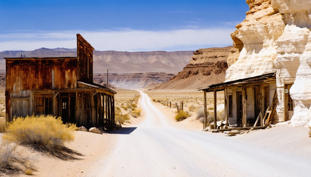
While you’re making your way between Furnace Creek and Rhyolite, two stops deserve a spot on your itinerary: Titus Canyon and Harmony Borax Works.
Titus Canyon runs as a one-way road through dramatic, narrow desert terrain, so you’ll need to plan your approach from the correct direction and drive slowly once the pavement gives way to rougher ground.
Back near Furnace Creek, Harmony Borax Works offers a fast but fascinating look at the 19th-century borax operation that helped put Death Valley on the map.
Titus Canyon One-Way Drive
Tucked into the northern reaches of Death Valley, Titus Canyon offers one of the park’s most dramatic drives—and it runs one way, so you’ll want to plan accordingly. You’ll enter from the east near Beatty, Nevada, winding through narrow canyon walls carved by ancient forces.
Along the route, you’ll spot desert flora clinging to rocky ledges and sandy washes, a quiet reminder that life persists in extreme conditions.
The canyon also carries deep mining history, passing the ghost town of Leadfield, where ambitious prospectors once chased silver dreams that quickly faded.
The final stretch demands slow, careful driving on rougher ground. Give yourself two to three hours to fully absorb the canyon’s scale, color, and silence before emerging back near the Furnace Creek area.
Harmony Borax Works History
After Titus Canyon’s dramatic finale, pull over at Harmony Borax Works and step into a different kind of Death Valley history. Chinese laborers processed borax here in the 1880s, surrounded by harsh desert flora and unforgiving heat.
What you’ll discover on-site:
- Ruins of the original processing vats where raw borax was refined before shipment
- Iconic 20-mule team wagons, the same type that hauled borax across 165 miles of desert
- Interpretive trail markers explaining the refining process in plain, accessible detail
- Open terrain where park wildlife like kit foxes and ravens still roam freely
This stop sits minutes from Furnace Creek, making it an effortless addition to your itinerary. It’s raw, real history you can walk through rather than read behind glass.
Badwater, Zabriskie Point, and the Historic Stops Worth Adding
Once you’ve mapped out your ghost town detour, Death Valley’s most iconic stops are close enough to weave into the same day.
Drive south from Furnace Creek to Badwater Basin, where salt flats stretch endlessly at 282 feet below sea level. Wildlife sightings here are rare but memorable — watch for ravens and kit foxes near the basin’s edges.
Swing back north toward Zabriskie Point for sweeping badland views, especially striking at golden hour. Photography tips: arrive early or late to avoid harsh midday shadows that flatten the terrain’s natural texture.
Add Artist’s Palette for color-streaked canyon walls and Devils Golf Course for dramatic salt formations.
Each stop builds on the last, creating a layered desert experience rooted in geology, history, and raw landscape beauty.
Fuel, Road Conditions, and What to Bring on a Desert Ghost Town Drive
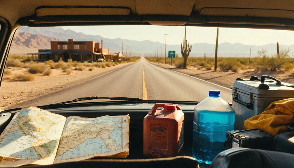
Before you leave Furnace Creek, fill your tank — fuel inside the park runs noticeably higher than in nearby towns like Beatty or Ridgecrest, so topping off outside the park saves money and eliminates range anxiety on long desert stretches.
Dirt backcountry roads toward Greenwater and parts of Titus Canyon demand high-clearance vehicles and slow speeds. Always check road conditions at the Furnace Creek Visitor Center before heading out.
Pack smart before you roll:
- Water — carry more than you think you’ll need; heat accelerates dehydration fast
- Sun protection — desert flora offers zero shade on open routes
- Emergency supplies — flat tire gear, a first-aid kit, and a paper map
- Wildlife awareness — watch for desert wildlife encounters near dawn and dusk along remote stretches
Frequently Asked Questions
When Did Furnace Creek Inn First Open Its Doors to Guests?
You’ll love knowing that Furnace Creek Inn first opened its doors on February 1, 1927, welcoming guests to its stunning historical architecture and becoming a legendary desert escape that’s attracted celebrity visits ever since.
How Many Rooms and Suites Does Furnace Creek Inn Currently Offer?
Like a desert jewel, Furnace Creek Inn’s 66 rooms and suites await you. You’ll discover historical architecture woven with thoughtful guest amenities, giving you the freedom to rest and recharge before your next ghost town adventure.
Is Furnace Creek Inn Open During Summer Months for Regular Guests?
Historically, you won’t find Furnace Creek Inn’s historical architecture welcoming regular guests in summer. It traditionally operates mid-October through mid-May, so you’ll want to plan around its seasonal amenities to fully experience this desert escape.
What Is the More Affordable Lodging Alternative Near Furnace Creek Inn?
Like a invigorating gust for your wallet, Furnace Creek Ranch is your budget option. It’s open year-round, offering alternative accommodations at lower rates, so you’ll stretch your adventure dollars further without sacrificing convenience.
How Far Is Rhyolite Ghost Town From the Furnace Creek Visitor Center?
You’ll drive 35 miles to reach Rhyolite’s historic mining ruins from the Furnace Creek Visitor Center. As you cross breathtaking desert landscapes, you’re uncovering stories of boom-and-bust dreams etched into California’s enthralling, sun-scorched wilderness.
References
- https://photogirltravels.com/2013/04/28/death-valley-rhyolite-ghost-town-and-other-places-to-see/
- https://www.nps.gov/deva/learn/historyculture/death-valley-ghost-towns.htm
- https://www.desertsun.com/story/travel/2018/03/01/ghost-towns-hiking-trails-ultimate-guide-death-valley/374965002/
- https://loyaltytraveler.boardingarea.com/2013/05/23/deserted-desert-hotel-at-furnace-creek-inn-death-valley/
- https://www.youtube.com/watch?v=VrGy4O3MKlE
- https://scampgrounds.com/tag/the-inn-at-death-valley/
- https://www.flyertalk.com/forum/california/1714882-death-valley-what-should-we-see.html
- https://www.youtube.com/watch?v=-Xt46GrPSAY



